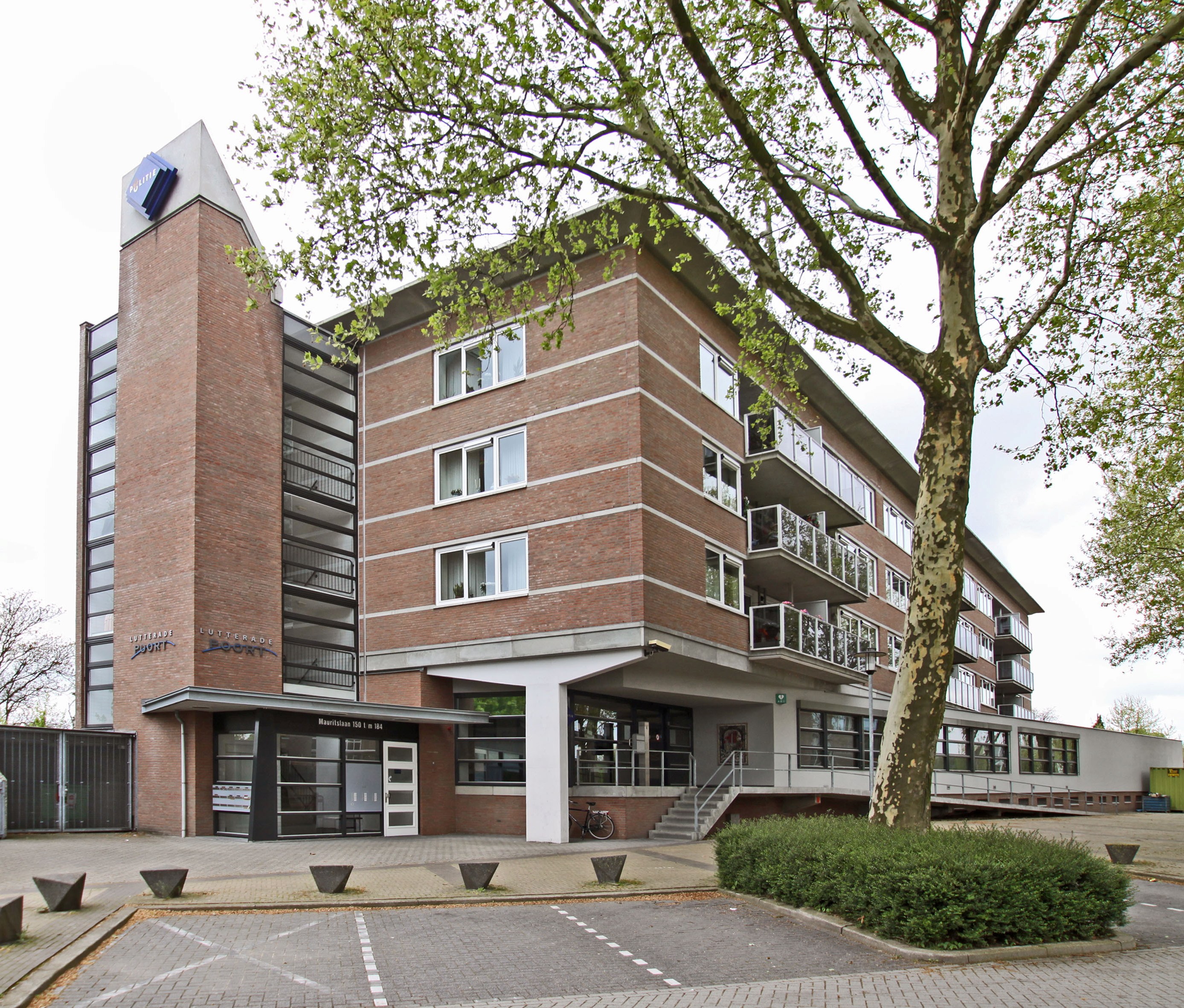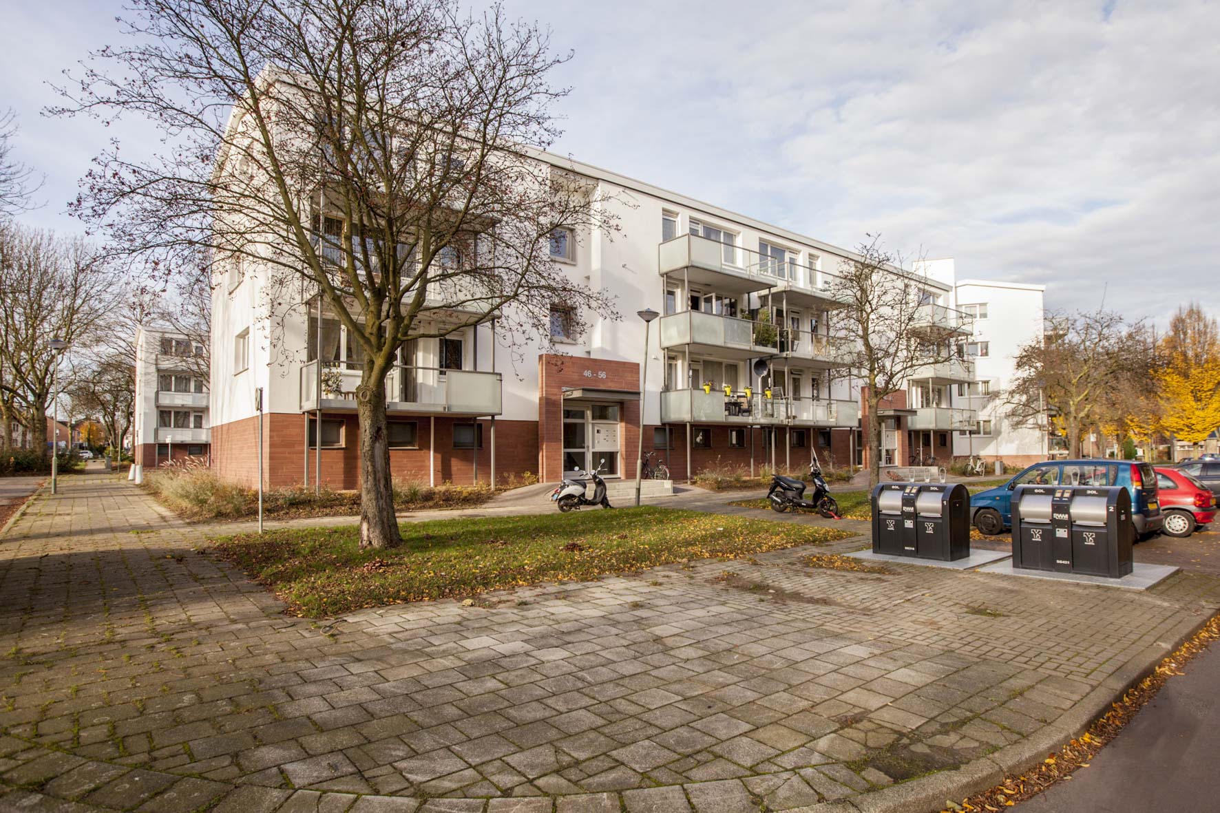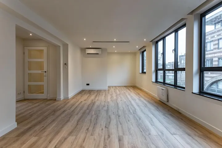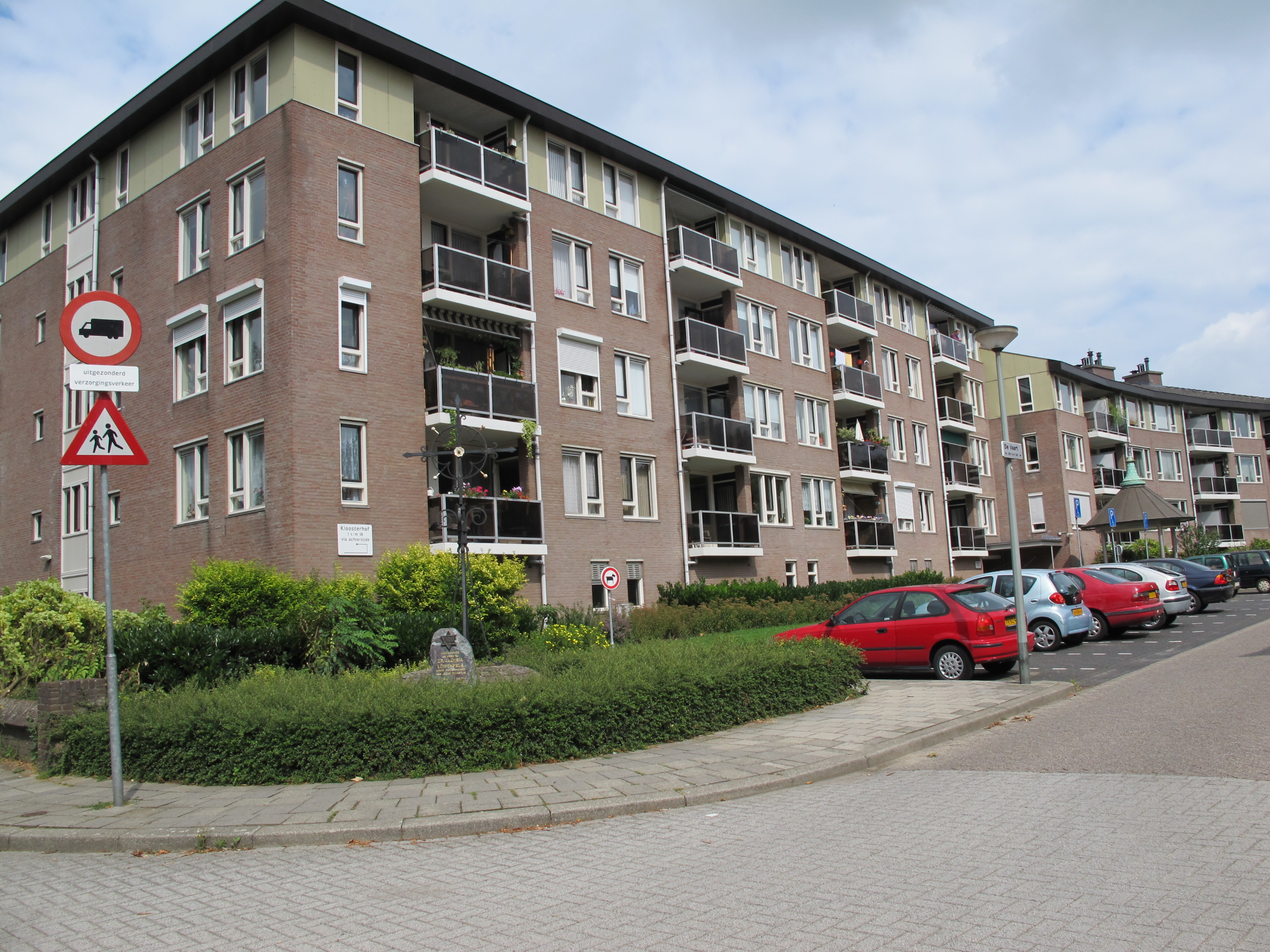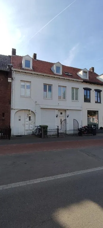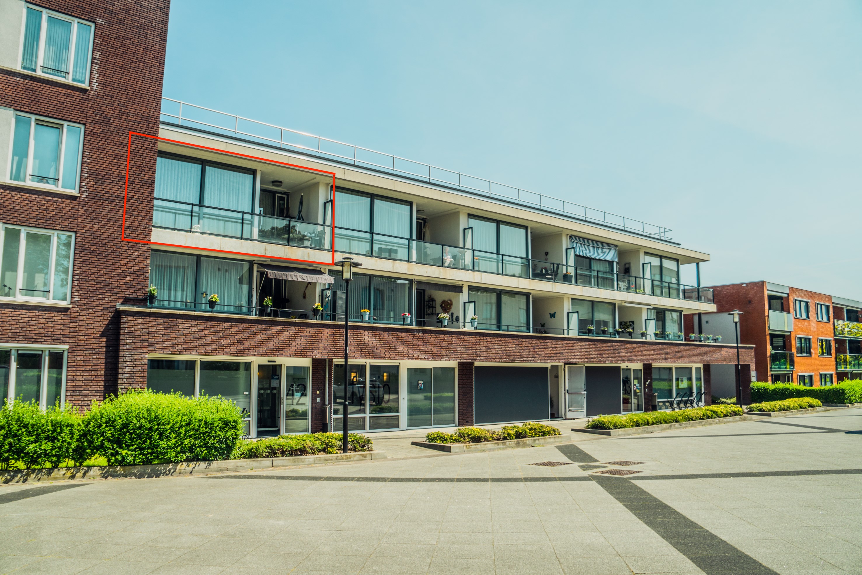
Appartement te huur: Marktschip 78, Urmond
discovered 1 hour ago
RentSteinApartmentsMarktschip 78

Marktschip 78

Urmond ten oosten van Julianakanaal, Stein
€ 978 p/m
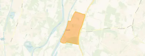
Neighbourhood Urmond ten oosten van Julianakanaal, UrmondNeighbourhood
Social housing via a housing corporation
Registration and waiting time are usually required
Listed on the market today
Be quick
Energy-efficient home with label B
Lower energy costs than most homes
AI summary

A social-rent apartment in Urmond

This two-bedroom apartment on Marktschip 78 is a social-rent property in Urmond, a village in the municipality of Stein. Built in 2012, it has a floor area of 83 m² and an energy label B, which means it is reasonably efficient. The rent is €978 per month, which is in line with the market for this type of home. For more context, see apartments in Stein.

The Urmond ten oosten van Julianakanaal neighbourhood

The neighbourhood has around 2,600 residents, with a mix of ages: 30% are 65 or older, 26% are 45,65, and 22% are 25,45. About 31% of households have children, and 31% are single-person households. The area is moderately urban, with an address density of 580 per km². There are no resident reviews available for this neighbourhood. For more details, see the Urmond ten oosten van Julianakanaal neighbourhood.

Life on the street

Daily shopping is easy: Jumbo is just around the corner, and there are other supermarkets like SPAR express and Albert Heijn within a short drive. For primary education, OBS de Maaskei is a couple of streets away, and Basisschool de Avonturijn is a ten-minute walk. A GP is on your doorstep, and a park is also nearby. The train station is 5.1 km away. For more on the wider area, see the municipality of Stein.

Source

At the time of writing, the home is listed only.

This summary was generated with AI and may contain errors. Always verify the details with the provider.

Features

Details of this home

Transfer

StatusAvailable
Date discovered29 July 2026

Price

Rental price€ 978 p/m
Price per m²€ 12 p/m
Assessed value (WOZ)reference date 01-01-2025€ 255,000

Areas and volume

Object areaLand Registry (Kadaster)83 m²
Plot area4,319 m²
Insure your home and belongingsGet insured

Construction

Property typeAppartement
Year built2012

Location

DistrictUrmond
MunicipalityStein
Value development
WOZ value of this address · 2015 – 2025
WOZ value

The WOZ value is set annually by the municipality with 1 January as its reference date, and therefore lags the market by about a year. It is an estimated market value, not a sale price.

Frequently asked questions

About Marktschip 78, Urmond

What is the energy label and what does it mean?

The energy label is B, which is an official registration from EP-Online. Label B indicates a reasonably efficient home, so you can expect moderate energy costs.

Is this a social-rent property?

Yes, this is a social-rent apartment. The rent is €978 per month, which is within the social housing sector. You may need to meet certain income criteria to qualify.

How many bedrooms does the apartment have?

The listing states it is an apartment with 83 m² of floor area. The number of bedrooms is not explicitly mentioned, but based on the size, it likely has two bedrooms.

What is the neighbourhood like?

The neighbourhood has a mix of ages, with a significant proportion of older residents (30% aged 65+). It is moderately urban, with a quiet feel. There are no resident reviews available.

Are there supermarkets nearby?

Yes, Jumbo is just around the corner at 288 metres. Other supermarkets like SPAR express (1.3 km) and Albert Heijn (1.5 km) are also within easy reach.

What schools are close to the apartment?

Primary schools include OBS de Maaskei (390 m) and Basisschool de Avonturijn (1.5 km). There is also a special secondary school, St. Jozefschool, at 222 metres.

How far is the train station?

The nearest train station is 5.1 km away, so you would need a car or bus for train travel.

Offered by
www.thuisinlimburg.nl
View listing
Report this listing
Urmond ten oosten van Julianakanaal has not been reviewed yet
Live here? Share your experience with home seekers

Statistics for Urmond ten oosten van Julianakanaal

Figures on residents, liveability and the housing market

All figures
Residents
Ages
3400-15
22015-25
57025-45
68545-65
78065+
Gender
Men49%
Women51%
Households
Living alone31%
Without children38%
With children31%
Education level
VMBO, MBO 146%
HAVO/VWO, MBO 2-433%
HBO/WO21%
Origin
Netherlands83%
Europe10%
Outside Europe8%
Housing market
Pricesaveragemedian
Sale price €380,773€349,000
Sale per m² €3,025
Living area
Up to 60 m²3%
60-89 m²13%
90-119 m²33%
120-159 m²33%
160 m² and over18%
Listings
For sale100%
For rent0%
Year built
1945-197027%
1970-199055%
1990-20109%
After 20109%
Energy labels
A+6%
A31%
B15%
C27%
D8%
E5%
F1%
G6%

Location and amenities

Marktschip 78, Urmond

Jumbo
Paalweg 14-15
288m
SPAR express
Nieuwe Postbaan 1
1260m
Albert Heijn
Industrieweg 19
1517m
Lidl
Industrieweg 15
1651m
Aldi
Raadhuisplein 87
2617m
Jumbo
Raadhuisplein 42
2629m
Jumbo
Bloemenmarkt 32
3252m
Aldi
Bloemenmarkt 21
3252m
Lidl
Annastraat 7
4529m
Albert Heijn
Markt 101A
4711m

Risks and environmental factors

Noise, foundation and climate around this address

Noise levels

Within limit
Road traffic reference year 202248 dB
Air traffic reference year 202231 dB
Industry reference year 202449 dB
Annual average noise level (Lden) per source; the tick marks the statutory preferred limit value. Rough indication on a 10-metre grid, not a façade assessment. Source: RIVM (Atlas Leefomgeving).

Foundation risk

Low
Year built (BAG)2012
Soil typeSand
KCAF attention areaNiet kwetsbaar gebied – 0-20 %
Homes built before 1970 in this postcode area0.0%
Homes at risk of pile rot in the neighbourhood0.0%
Homes at risk of pile rot by 20500.0%
Homes at risk of subsidence by 20501.0%
Groundwater trend towards 2050Rising (+0.13 m)
Indication based on public sources, not a structural survey. Do the free foundation check at funderingskaartnederland.nl. Source: KCAF and BAG, a.o.

Rainwater flooding

Medium
Water depth in a heavy downpour (70 mm)15 to 20 cm
Water depth in an extreme downpour (140 mm)More than 30 cm
Position relative to surroundings33 cm higher
Water in the street during short, heavy downpours; actual nuisance depends on local drainage. Source: Klimaateffectatlas.

Flooding

Low
Chance, current climateVirtually none
Chance by 2050Virtually none
Water depth in a floodStays dry
Worst-case water depthStays dry
Probability and water depth in a flood; 2050 assumes the high scenario. Check your flood risk at overstroomik.nl. Source: Klimaateffectatlas.

Similar homes

View more homes nearby

View listing
Buurtje.nl
View this home in the appMarktschip 78, Urmond
View