Kastelenbuurt, Roermond
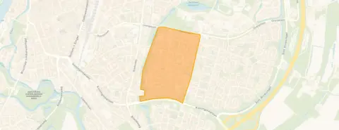 Neighbourhood
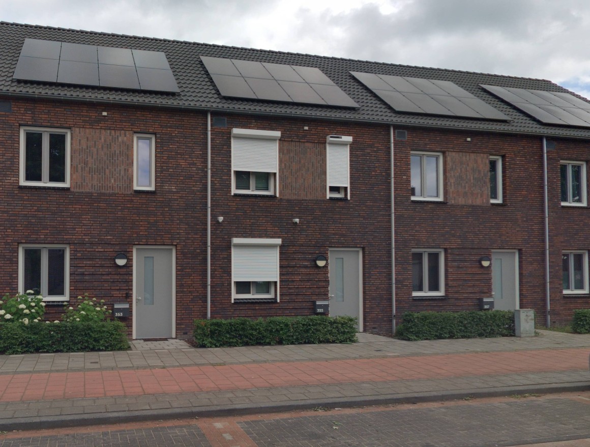
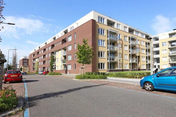
This end-of-terrace house on Kasteel Keverbergstraat sits in a leafy part of Roermond, with a spacious 102 m² floor area and a 188 m² plot. The rent of €1,300 is keen compared to the neighbourhood average of €1,595 for rentals. For context, see end-of-terrace houses in Roermond.
Kastelenbuurt is a quiet residential area with mostly families and a mix of ages. The neighbourhood has 2,010 residents, with many households with children and a high proportion of single-family homes (91%). No resident reviews are available, but the area feels calm and well-established. Learn more about the Kastelenbuurt neighbourhood.
For daily shopping, Lidl is just around the corner, with PLUS and Aldi a couple of streets away. Schools are close: Basisschool de Kasteeltuin and Montessori Basisschool Roermond are both within a five-minute walk. The train station is a ten-minute walk away. Explore the municipality of Roermond for more on the area.
At the time of writing, the home is listed via LIV Residential and on Pararius, so it's available through several channels.
This summary was generated with AI and may contain errors. Always verify the details with the provider.
Details of this home
 Save up to € 400 on your energy billCompare now
 Insure your home and belongingsGet insured
The WOZ value is set annually by the municipality with 1 January as its reference date, and therefore lags the market by about a year. It is an estimated market value, not a sale price.
About Kasteel Keverbergstraat 9, Roermond
The rent of €1,300 is below the neighbourhood average of €1,595 and the median of €1,595, making it keenly priced. The floor area of 102 m² is 26% larger than the neighbourhood average of 81 m², so you get more space for less than the typical rent.
The energy label is C, which is an official registration (EP-Online). Label C is moderately efficient, so you can expect reasonable energy costs, but not the lowest possible.
The train station is 1.6 km away, about a ten-minute walk or a short cycle ride.
Several schools are within walking distance: Basisschool de Kasteeltuin (256 m), Montessori Basisschool Roermond (325 m), and secondary school Wings Roermond (236 m).
Lidl is 478 m away, PLUS at 755 m, and Aldi at 794 m, so daily groceries are easily accessible on foot or by bike.
The neighbourhood recorded 161 total crimes, but without a breakdown or comparison, it's hard to judge. The area feels quiet and residential.
Figures on residents, liveability and the housing market
| Sale price | €360,786 | €365,000 |
|---|---|---|
| Sale per m² | €2,702 | – |
How residents experience their district
It is very unsafe in the neighbourhood, many street youths/men, weed smell throughout the neighbourhood in the evenings and during the day. Music nuisance, parties. And a lot of nuisance from illegal motorbikes and so on, police never seen passing by or checking in the street.
Auto-translated to English by AINot much, just normal
Auto-translated to English by AIPlus points is the education Downside is that it's not always very tidy
Auto-translated to English by AIFigures on residents, liveability and the housing market
| Sale price | €334,167 | €320,200 |
|---|---|---|
| Sale per m² | €2,636 | – |
How residents experience their municipality
Quietly situated in nature on a dead-end road. Good accessibility to the city and motorway and all amenities. All types of schools within very short cycling distance.
Auto-translated to English by AIIt's a quiet neighbourhood with lots of greenery, but it could be even more for my liking. As a newcomer, I have to make an effort to have a "good day". The greenery is very well maintained! The dog toilets too. Chapeau. I miss benches and picnic spots. There are many people walking dogs and there are nice shady spots, but you can't sit anywhere to chat.
Auto-translated to English by AIcosy neighbourhood with lovely people, of course there is always someone who is less friendly, but in general I am very satisfied
Auto-translated to English by AIIt is very unsafe in the neighbourhood, many street youths/men, weed smell throughout the neighbourhood in the evenings and during the day. Music nuisance, parties. And a lot of nuisance from illegal motorbikes and so on, police never seen passing by or checking in the street.
Auto-translated to English by AIWe have a nice neighbourhood with many friendly people. When something is going on, almost everyone from the neighbourhood is present, and that is very cosy. We have few amenities in the neighbourhood in terms of shops, but we do have a childcare centre, a football club, a carnival association, several riding schools, the campsite/restaurant Het Spikkerdal, and a few small farms nearby. For amenities like shops or other things, you have to go to Roermond, but that's not a problem because it's about a quarter of an hour away by car or bike. All in all, it's a fun and cosy neighbourhood with a pleasant atmosphere among the residents and many enjoyable activities in this neighbourhood.
Auto-translated to English by AIThis neighbourhood is quiet and you don't have any trouble with the neighbours around you, and the neighbours are also helpful when you need them.
Auto-translated to English by AILovely between green and city, wonderful for walking, cycling and living. Nice green spaces, pleasant community with active participation via neighbourhood committee.
Auto-translated to English by AILovely neighbourhood with plenty of amenities. Tidy and clean. Nice people.
Auto-translated to English by AIFigures on residents, liveability and the housing market
| Sale price | €420,319 | €387,454 |
|---|---|---|
| Sale per m² | €3,480 | – |
| Rent price | €1,273 p/m | €1,275 p/m |
| Rent per m² | €14 p/m | – |
Kasteel Keverbergstraat 9, Roermond







Noise, foundation and climate around this address
View more homes nearby