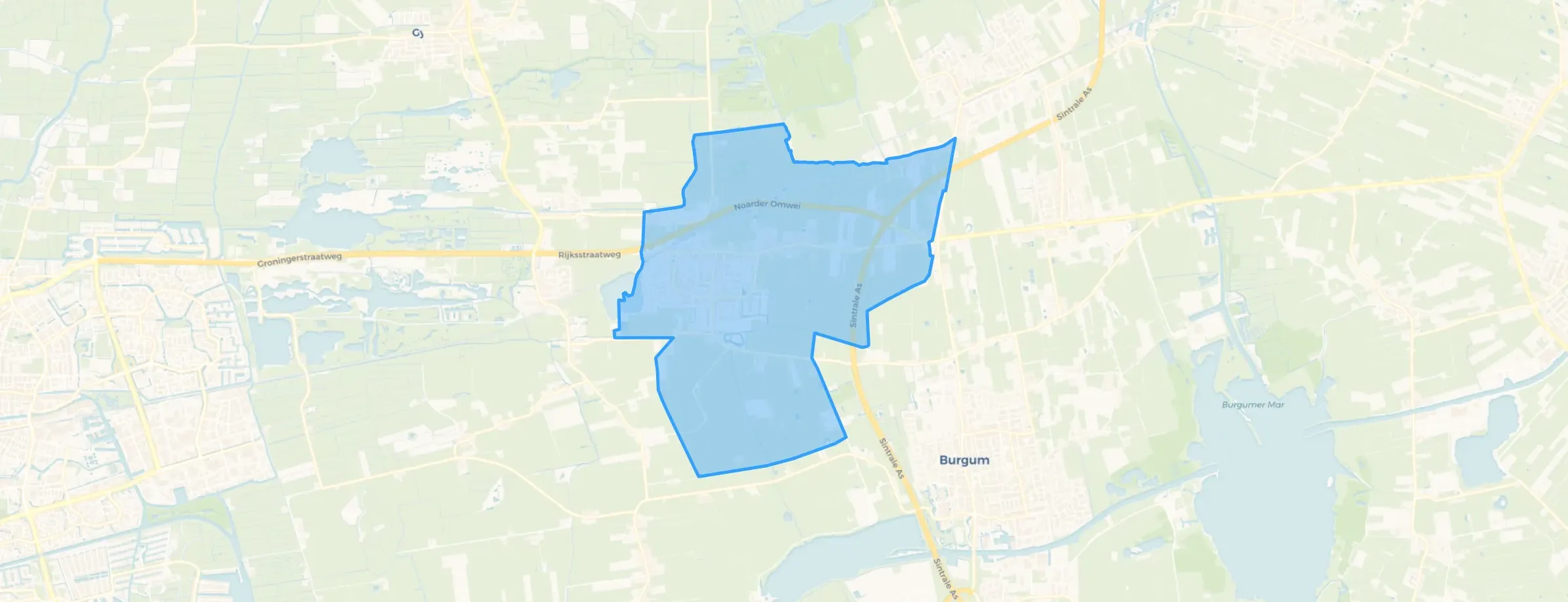
District in Tytsjerksteradiel
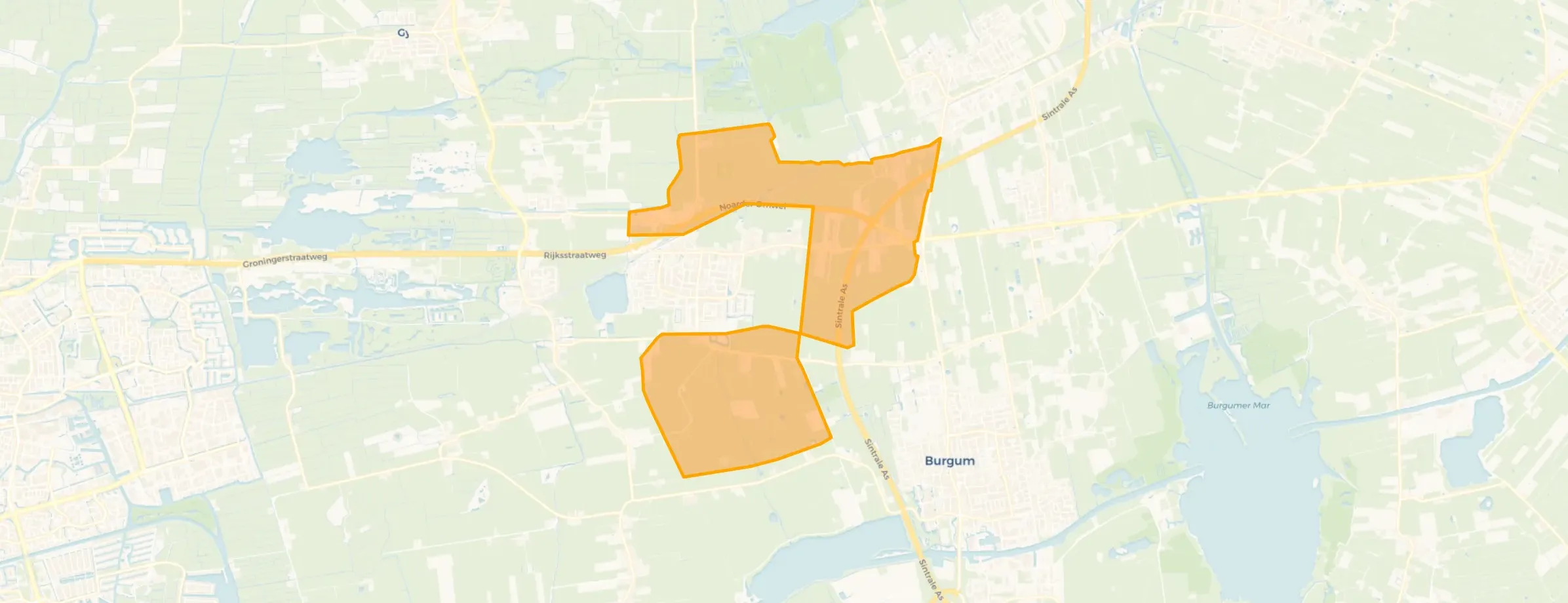
Hurdegaryp is located in the province of Friesland, in the municipality of Tytsjerksteradiel The district has a total area of 1.058 hectares, of which 1.041 hectares are land and 18 hectares are water. The district is coded as WK073709. The postcode area is 9251MC-9265XN.
Hurdegaryp has 5.115 residents. Of these, 49,6% are men and 50,3% are women. Most residents are 65 years or older (26,1%). The other age groups are 25,3% for '45 to 65 years', 22,4% for '25 to 45 years', 15,2% for '0 to 15 years' and 11,0% for '15 to 25 years'. Of the residents, 43,7% is unmarried, 41,6% is married, 8,2% is divorced and 6,5% is widowed. 4.585 residents originate from the Netherlands, 170 come from Europe and 360 come from countries outside Europe.
There are 2.275 households in Hurdegaryp. 34,5% of these are single-person households, 32,3% households without children and 33,2% households with children. The average household size is 2,2 persons. The national average is 2,1 persons.
In Hurdegaryp there are 4.100 income recipients. The average income per income recipient is €37.900, which is €4.300 (10%) lower than the national average of €42.200. Per resident, the average income is €31.200, which is €3.700 (11%) lower than the national average of €34.900. Most residents of Hurdegaryp are educated to an intermediate level. 46,9% have an intermediate education (HAVO, VWO or MBO 2-4), 31,1% have a university or higher professional education (HBO/WO) and 21,9% have a lower education (VMBO or MBO 1).
Of the 5.115 residents, around 71% are in paid employment, which amounts to 3.632 people. This is 1% lower than the national average of 72%. The majority of workers are in salaried employment (87%), while 13% are self-employed. In Hurdegaryp, 30% of residents receive a benefit. The largest group is those receiving a state pension (AOW). 1.260 people receive this benefit.
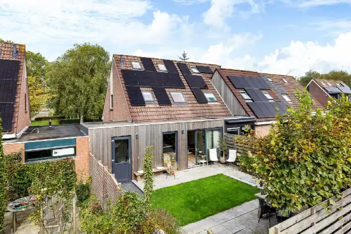
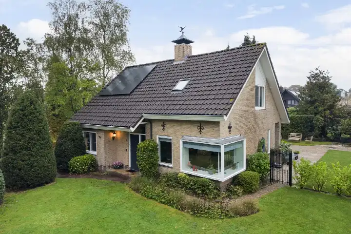
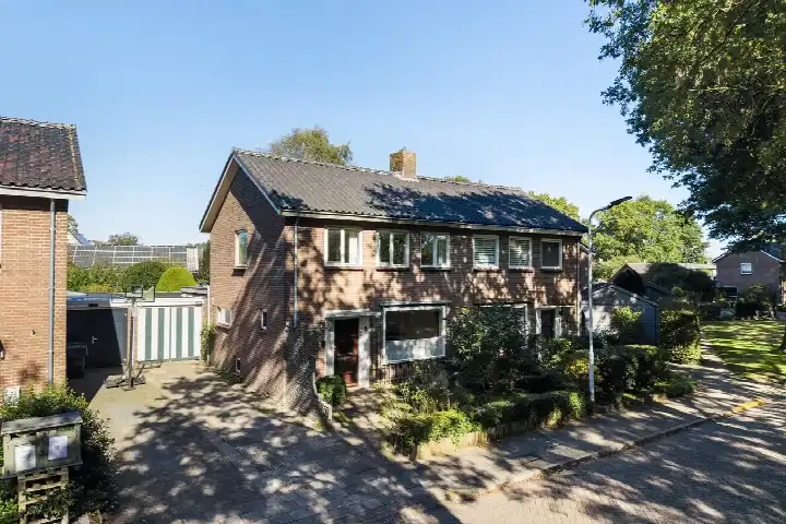
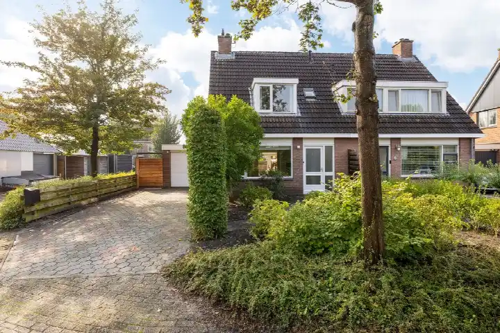
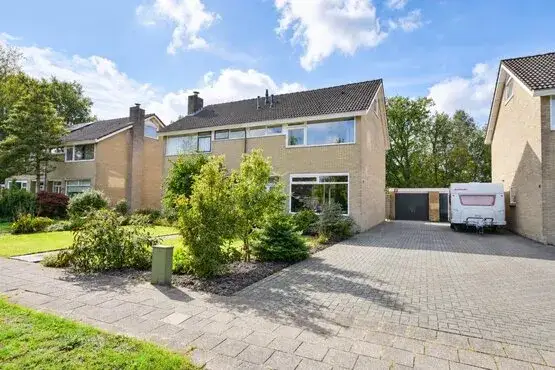
In Hurdegaryp there are 2.383 homes with an average assessed value (WOZ) of €283.000. Of these, around 97% are occupied and 3% unoccupied. Most homes are owner-occupied. This amounts to 26% rental homes and 74% owner-occupied homes. Of the homes, 73% privately owned, 16% owned by housing associations and 11% owned by other landlords. The most common construction periods in Hurdegaryp are 1970-1980 (28%) and 1950-1970 (23%).
There are currently no homes for sale in Hurdegaryp. The most recently listed home is Van Helsdingenstraat 5 by Scherjon + Van der Veen Makelaars. No homes were sold in Hurdegaryp over the past year.
There are currently no homes for rent in Hurdegaryp. The most recent home is Rijksstraatweg 3A4, offered by De Noordelijke Verhuurmakelaars op Funda. No homes were let in Hurdegaryp over the past year.
No recent rental data available for Hurdegaryp.
In Hurdegaryp there are 1.380 addresses with a registered energy label. The most common labels are A (33%), C (25%) and B (17%). On average, an address in Hurdegaryp uses 2.490 kWh of electricity per year. This is 2% below the national average of 2.550 kWh. Natural gas consumption, at 900 m³ per year, is 13% above the national average of 800 m³.
Never any problems with neighbours. No nuisance. Cosy.
Auto-translated to English by AIEvents do take place. And contact with the neighbours.
Auto-translated to English by AII have lived here my whole life, there are 2 supermarkets and several types of shops. There are also 2 types of public transport. The people are friendly and welcoming.
Auto-translated to English by AIExtremely bad. A Pakistani family has been living at number 7 for years and they can do whatever they want. Dealing drugs, weapons in the house. Things have gone wrong here several times with smashed windows and the police constantly driving through the neighbourhood. Our housing association does nothing about it because they just collect the rent, of course. It's driving the whole neighbourhood crazy..
Auto-translated to English by AII feel very safe in my neighbourhood. There will always be people who want to help me. With the train and bus in the village, it is easily accessible.
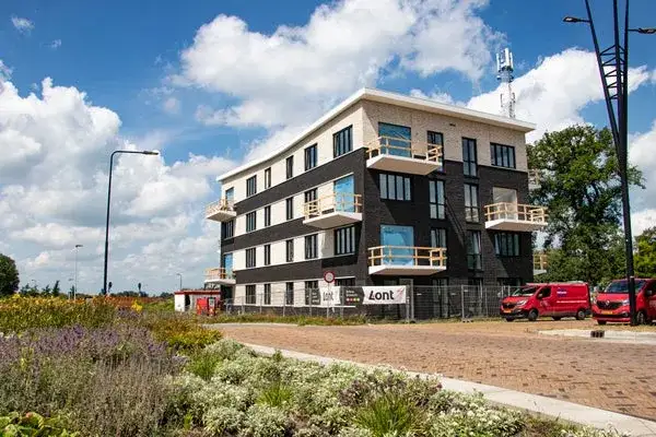
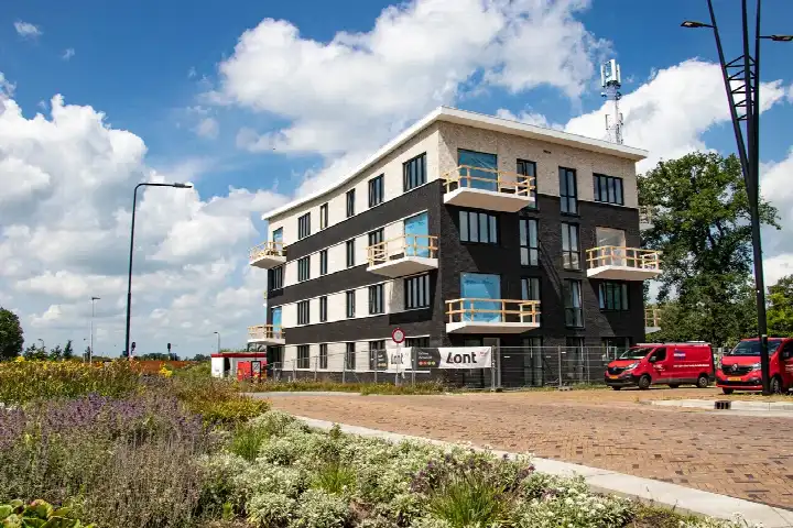
Auto-translated to English by AIThe housing stock is mainly post-war — 70% was built between 1945 and 1990.
Over the past year a home for sale in Hurdegaryp was listed for an average of €375,142 (€3,064 per m²). That is 29% below the Dutch national average. Last quarter prices rose by 37%.
A rental home in Hurdegaryp cost an average of €1,365 per month (€17 per m²). That is 37% below the national average.
Residents give Hurdegaryp a 8.3 out of 10 based on 5 reviews. The strongest score is for education (9.4), the weakest for community (7.6).
From Hurdegaryp you can on average reach a supermarket at 0.7 km, a GP at 0.9 km, a railway station at 1.0 km, a primary school at 0.9 km (as the crow flies, source: CBS).
Right now you will find 28 homes for sale and 4 homes for rent in Hurdegaryp.