Neighbourhood in Den Bosch
Orthen is located in the province of Noord-Brabant, in the municipality of Den Bosch, in the district Noord The neighbourhood has a total area of 53 hectares, of which 51 hectares are land and 2 hectares are water. The neighbourhood is coded as BU07960913. The postcode area is 5231LA-5231XP.
Two residents rate the neighbourhood as excellent with a score of 9.1. They describe it as 'Very cosy neighbourhood' and 'Future'. Based on a limited number of reviews, no clear trends are visible yet in this neighbourhood.
Orthen has 1.590 residents. Of these, 48,4% are men and 51,6% are women. Most residents are 45 to 65 years (27,0%). The other age groups are 25,8% for '25 to 45 years', 21,4% for '65 years or older', 15,4% for '0 to 15 years' and 10,4% for '15 to 25 years'. Of the residents, 50,3% is unmarried, 36,2% is married, 8,2% is divorced and 5,3% is widowed. 1.295 residents originate from the Netherlands, 100 come from Europe and 195 come from countries outside Europe.
There are 760 households in Orthen. 39,5% of these are single-person households, 29,6% households without children and 30,9% households with children. The average household size is 2,1 persons. The national average is 2,1 persons.
In Orthen there are 1.300 income recipients. The average income per income recipient is €38.900, which is €3.300 (8%) lower than the national average of €42.200. Per resident, the average income is €33.100, which is €1.800 (5%) lower than the national average of €34.900. Most residents of Orthen are highly educated. 37,5% have a university or higher professional education (HBO/WO), 35,8% have an intermediate education (HAVO, VWO or MBO 2-4) and 26,7% have a lower education (VMBO or MBO 1).
Of the 1.590 residents, around 72% are in paid employment, which amounts to 1.145 people. This is 0% lower than the national average of 72%. The majority of workers are in salaried employment (84%), while 16% are self-employed. In Orthen, 27% of residents receive a benefit. The largest group is those receiving a state pension (AOW). 300 people receive this benefit.
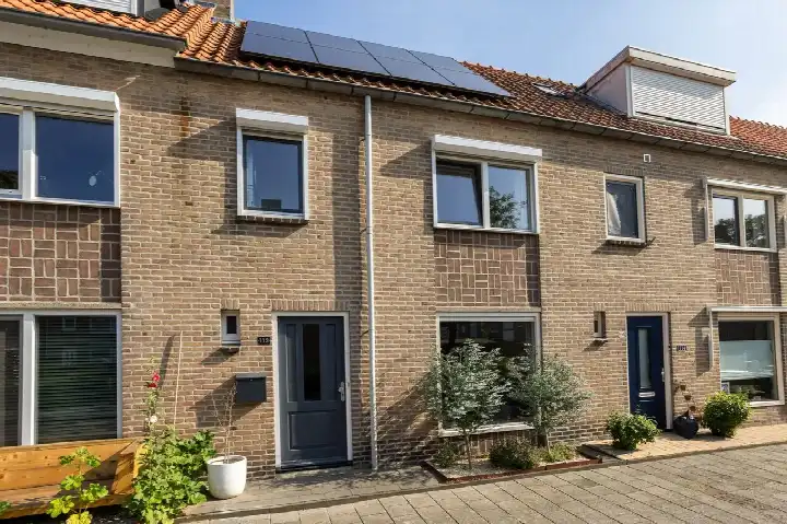
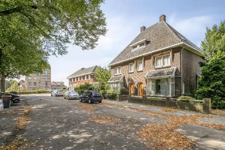
In Orthen there are 769 homes with an average assessed value (WOZ) of €380.000. Of these, around 96% are occupied and 4% unoccupied. Most homes are owner-occupied. This amounts to 39% rental homes and 61% owner-occupied homes. Of the homes, 61% privately owned, 35% owned by housing associations and 4% owned by other landlords. The most common construction periods in Orthen are 1950-1970 (69%) and 2000-2010 (10%).
There are currently 4 homes for sale in Orthen. The most recently listed home is Orduynenstraat 112 by Viermakelaars op Funda. Over the past year, 30 homes were sold in Orthen. On average, a home was sold within 27 days.
The average asking price for a home for sale in Orthen over the past year was €477.167. This is 26% higher than the average assessed value (WOZ) of €380.000. The average asking price per m² of plot is €4.149.
There are currently no homes for rent in Orthen. The most recent home is Schanspad 11, offered by www.thuispoort.nl. Over the past year, 19 homes were let in Orthen. On average, a listing was let within 14 days.
No recent rental data available for Orthen.
In Orthen there are 507 addresses with a registered energy label. The most common labels are C (48%), B (19%) and D (13%). On average, an address in Orthen uses 2.460 kWh of electricity per year. This is 4% below the national average of 2.550 kWh. Natural gas consumption, at 880 m³ per year, is 10% above the national average of 800 m³.
Very social and everyone takes care of each other when needed. Really a nice quiet neighbourhood. Shops and schools and green spaces and playgrounds nearby. Good dog walking spots close by. And so safe and cosy to live in.
Auto-translated to English by AII moved to Orthen from a bad home situation and I feel like a world is opening up for me! Everyone is so friendly and the silence and peace I experience is super pleasant.
Auto-translated to English by AI