Luttenberg Kern, Raalte
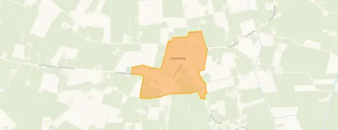 Neighbourhood
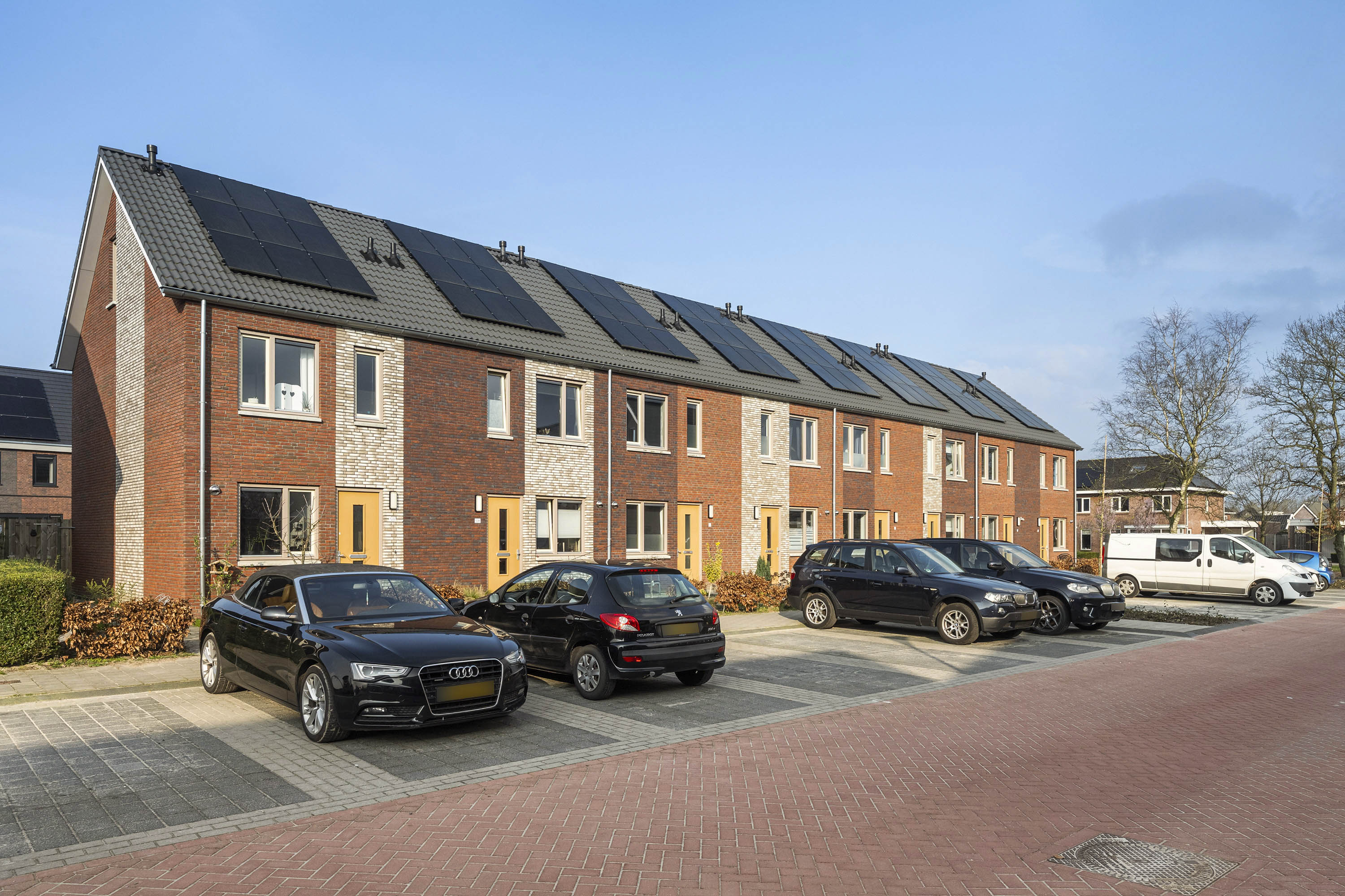
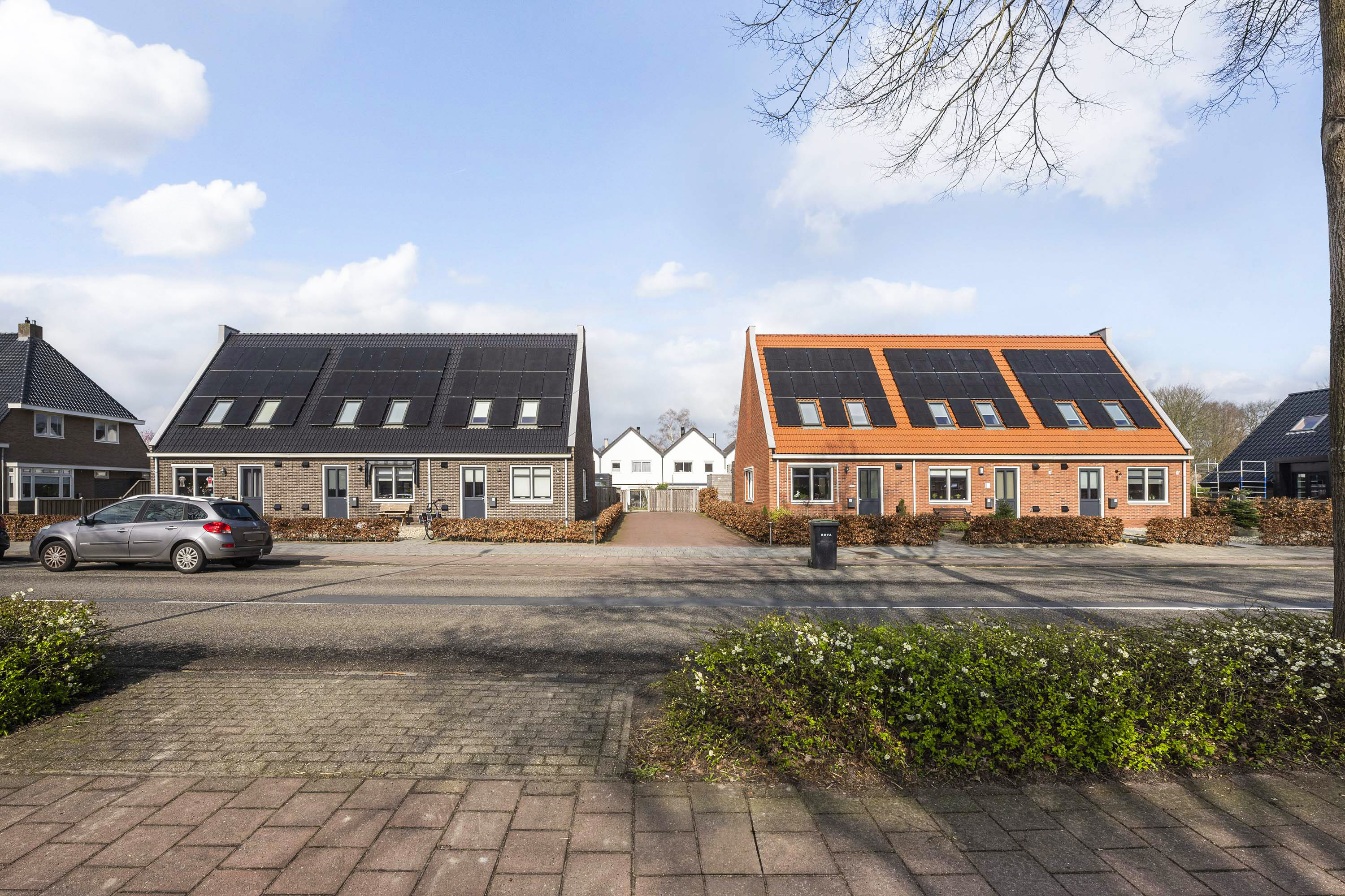
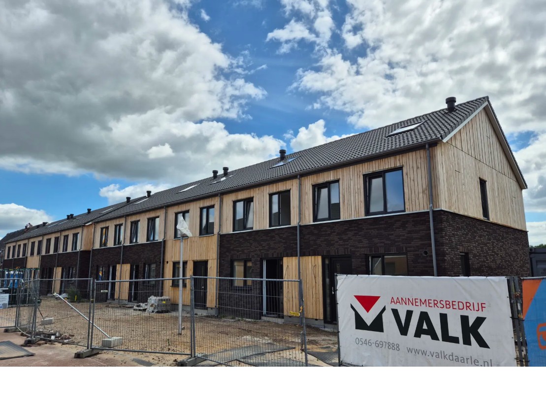
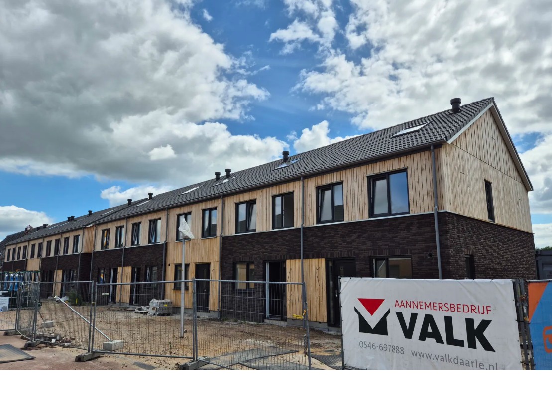
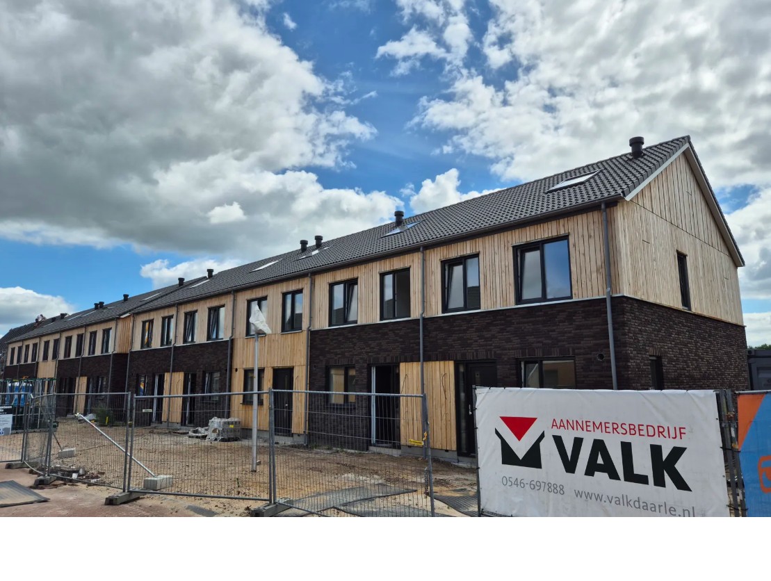
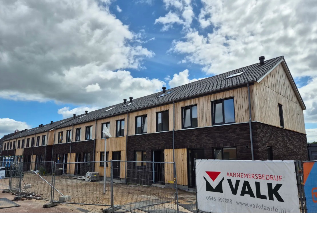
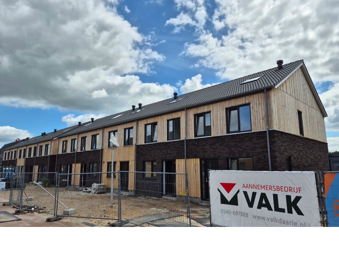
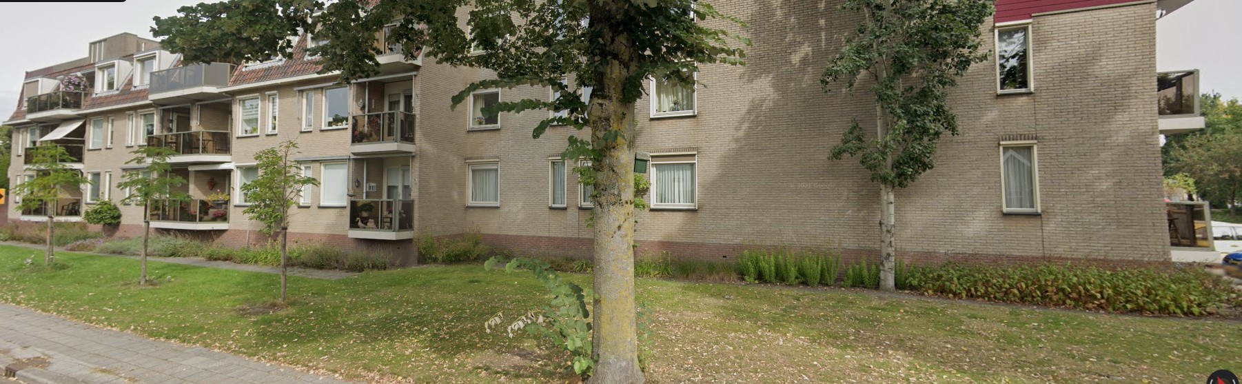
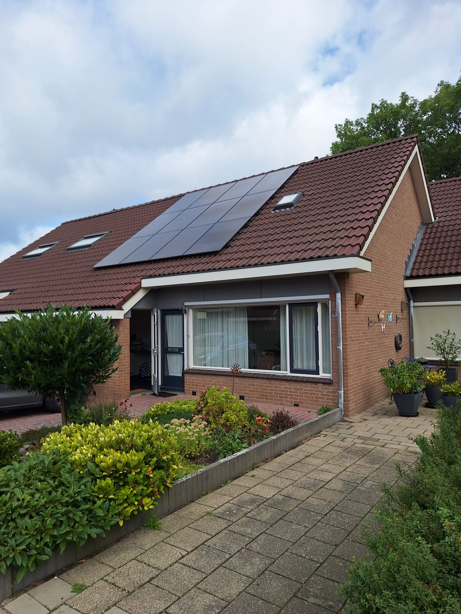
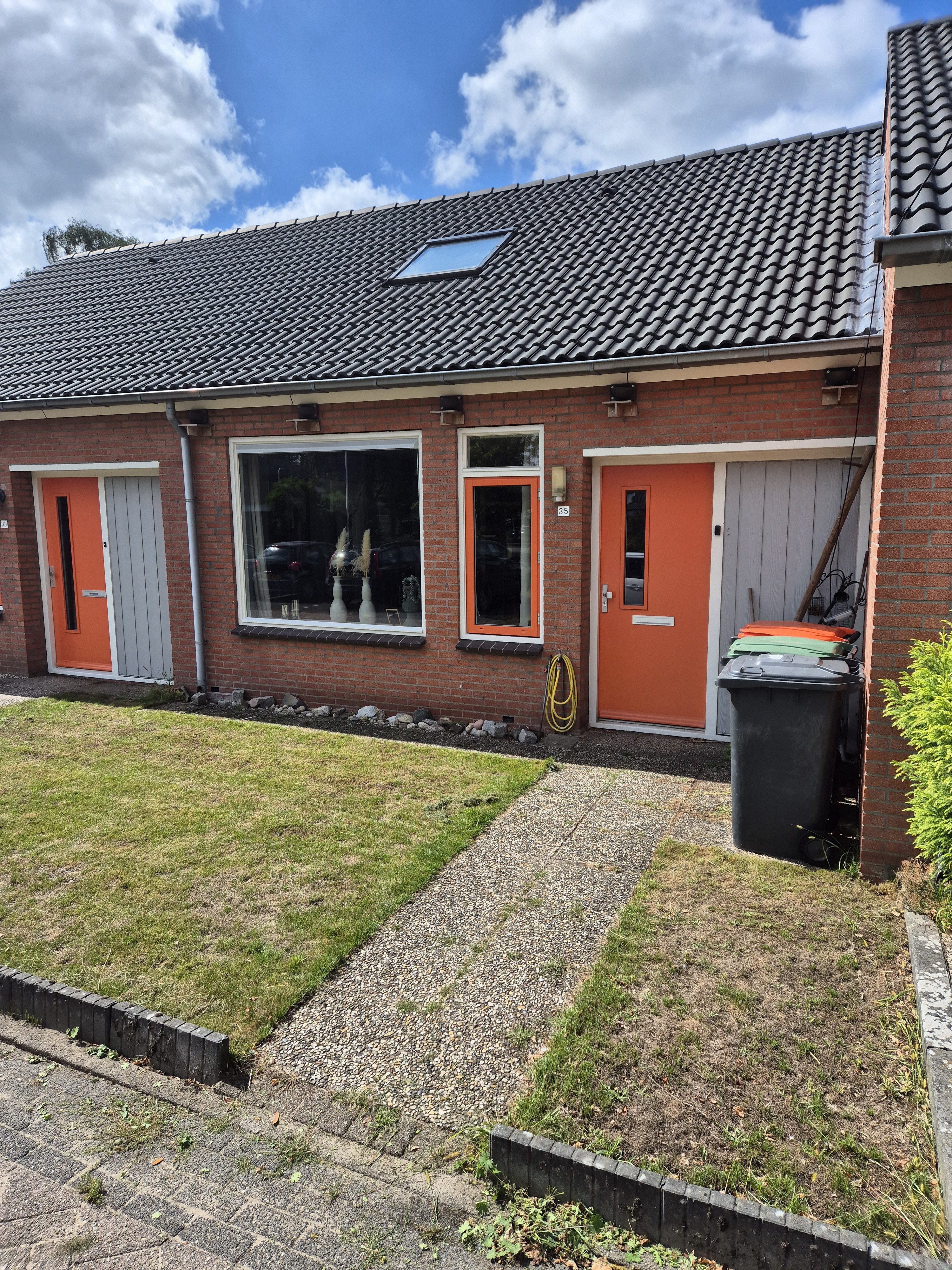
This terraced house on van Maurickstraat sits in a peaceful part of Luttenberg, a village where life moves at a gentler pace. With 92 m² of living space and a generous plot of 587 m², there is room to breathe both inside and out. The energy label A means the home is efficient to run, which is a real plus for a rental. At €881 per month, the price is in line with what you would expect for a home of this size in this area. For context, terraced houses in Raalte give you a sense of the wider market.
One resident describes the Luttenberg Kern neighbourhood positively: "My experience is positive. It has a large forest where I enjoy walking my dog." The same resident notes that amenities are fine, though some errands require travelling a bit further. Public transport has its quirks, with a neighbourhood bus running but the train in Raalte proving pricey. Based on one review, this is a place where the outdoors and a quiet life take centre stage. The area is home to many families and older residents, with a mix of households typical of a village setting.
For daily shopping, the Coop is just around the corner, making a quick bread run easy. Basisschool Esmoreit is also a couple of streets away, so school runs are short. For a wider choice, the PLUS, Jumbo, Albert Heijn and Aldi are within a short drive. The village has a GP practice and a childcare centre nearby, which adds to the convenience. The municipality of Raalte covers the surrounding area, with its own range of services and facilities.
At the time of writing, this home is listed only.
This summary was generated with AI and may contain errors. Always verify the details with the provider.
Details of this home
 Insure your home and belongingsGet insured
The WOZ value is set annually by the municipality with 1 January as its reference date, and therefore lags the market by about a year. It is an estimated market value, not a sale price.
About van Maurickstraat 35, Luttenberg
The asking rent of €881 per month for a terraced house of 92 m² in Luttenberg is in line with what you would expect in this market. The home has an energy label A, which means running costs should be relatively low. The plot of 587 m² is notably generous for a terraced house, adding to the overall value. There is currently one other rental available through a housing corporation in the neighbourhood.
The energy label is A, which is the most efficient category. This means the home is well equipped to keep energy costs down, which is a significant advantage for a rental property. The label is an official registration, so you can rely on it as an accurate reflection of the home's energy performance.
The Coop is just 451 metres away, so you can walk there in about five minutes for everyday groceries. For a larger shop, the PLUS is about 4.5 km away, and the Jumbo, Albert Heijn and Aldi are all within roughly 5 to 6 km. This makes the Coop the obvious choice for daily needs, with bigger supermarkets a short drive away.
Basisschool Esmoreit is the closest primary school, at about 366 metres, which is a short walk. Other primary schools, including Sint Antonius, Basisschool Sprankel! and Protestant Christelijke Basisschool De Regenboog, are within 4 to 5 km. For secondary education, the nearest school is about 8.5 km away, so older children would need to travel further.
Public transport is a mixed picture. A neighbourhood bus does run, which helps with local travel. However, the nearest train station is in Raalte, about 7.7 km away, and the train service there is described as expensive, with additional tickets sometimes needed for certain operators. A day trip by train can become pricey, so it is worth factoring that in if you rely on rail travel.
The neighbourhood has a mix of households, with 38% of homes having children and 26% being single-person households. The average household size is 2.4 people, which suggests a family-friendly environment. One resident mentions the large forest nearby as a highlight, ideal for dog walks and outdoor activities. It is a quiet, village-style setting rather than a bustling urban area.
How residents experience their neighbourhood
My experience is positive. It has a large forest where I enjoy walking my dog. In terms of amenities, it's also fine, but for certain errands you have to travel a bit further. As for public transport: there is improvement, as a neighbourhood bus does run, but the train in Raalte is very expensive and sometimes doesn't run... The train is operated by Blauwnet, so if I buy a youth day ticket, I also have to buy an extra Blauwnet ticket to travel; all in all, a day trip by train becomes very pricey.
Auto-translated to English by AIFigures on residents, liveability and the housing market
| Sale price | €599,000 | €599,000 |
|---|---|---|
| Sale per m² | €2,368 | – |
How residents experience their district
My experience is positive. It has a large forest where I enjoy walking my dog. In terms of amenities, it's also fine, but for certain errands you have to travel a bit further. As for public transport: there is improvement, as a neighbourhood bus does run, but the train in Raalte is very expensive and sometimes doesn't run... The train is operated by Blauwnet, so if I buy a youth day ticket, I also have to buy an extra Blauwnet ticket to travel; all in all, a day trip by train becomes very pricey.
Auto-translated to English by AIFigures on residents, liveability and the housing market
| Sale price | €599,000 | €599,000 |
|---|---|---|
| Sale per m² | €2,368 | – |
How residents experience their municipality
Nice quiet residential area
Auto-translated to English by AIMy experience is positive. It has a large forest where I enjoy walking my dog. In terms of amenities, it's also fine, but for certain errands you have to travel a bit further. As for public transport: there is improvement, as a neighbourhood bus does run, but the train in Raalte is very expensive and sometimes doesn't run... The train is operated by Blauwnet, so if I buy a youth day ticket, I also have to buy an extra Blauwnet ticket to travel; all in all, a day trip by train becomes very pricey.
Auto-translated to English by AIIn this neighbourhood you live because you can't afford anything else.
Auto-translated to English by AIFigures on residents, liveability and the housing market
| Sale price | €539,439 | €517,827 |
|---|---|---|
| Sale per m² | €3,349 | – |
| Rent price | €1,325 p/m | €1,324 p/m |
| Rent per m² | €6 p/m | – |
van Maurickstraat 35, Luttenberg






Noise, foundation and climate around this address
View more homes nearby