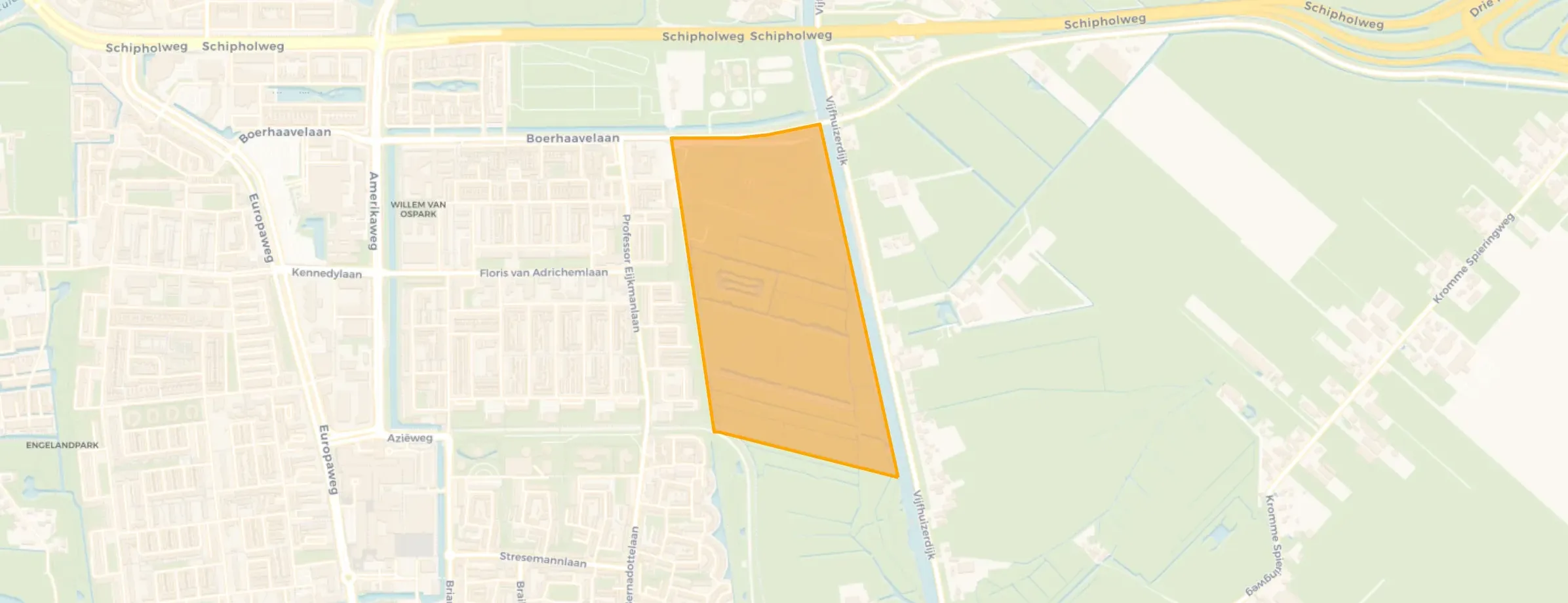
Neighbourhood in Haarlem
Poelpolder-noord is located in the province of Noord-Holland, in the municipality of Haarlem, in the district Boerhaavewijk The neighbourhood has a total area of 39 hectares, of which 39 hectares are land and 0 hectares are water. The neighbourhood is coded as BU03921905. The postcode area is 2035RC.
There are currently no homes for sale in Poelpolder-noord. No homes were sold in Poelpolder-noord over the past year.
There are currently no homes for rent in Poelpolder-noord. No homes were let in Poelpolder-noord over the past year.
No recent rental data available for Poelpolder-noord.
The housing stock is relatively young — 68% dates from after 1990. In addition, the most common type is detached houses (100%).
Over the past year a home for sale in Poelpolder-noord was listed for an average of €500,798 (€5,436 per m²).
A rental home in Poelpolder-noord cost an average of €1,820 per month (€20 per m²). That is 16% below the national average.
The housing supply in Poelpolder-noord is remarkably efficient: 84% has an A, A+ or B label.







