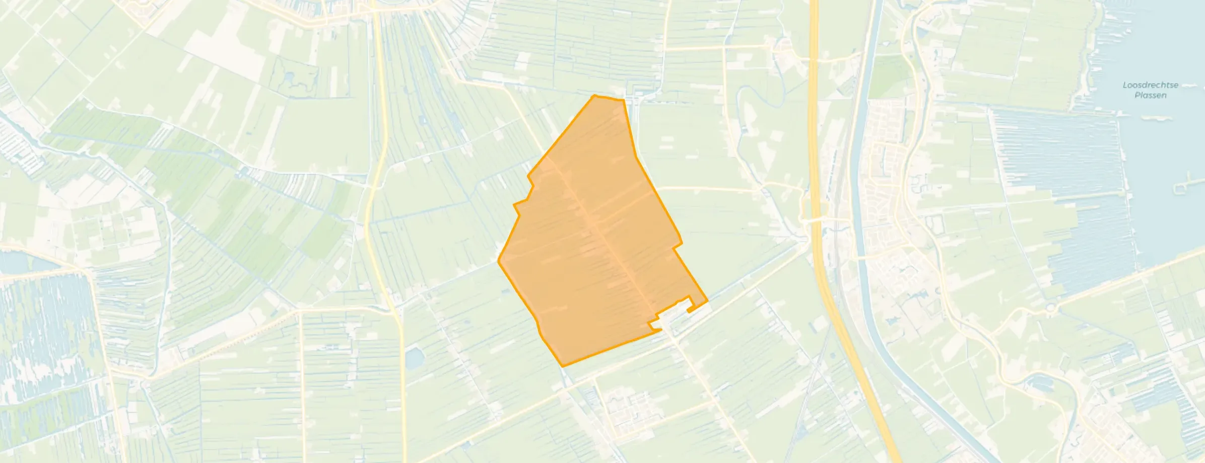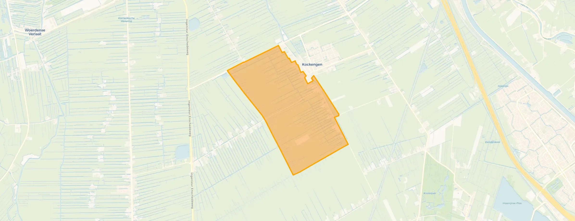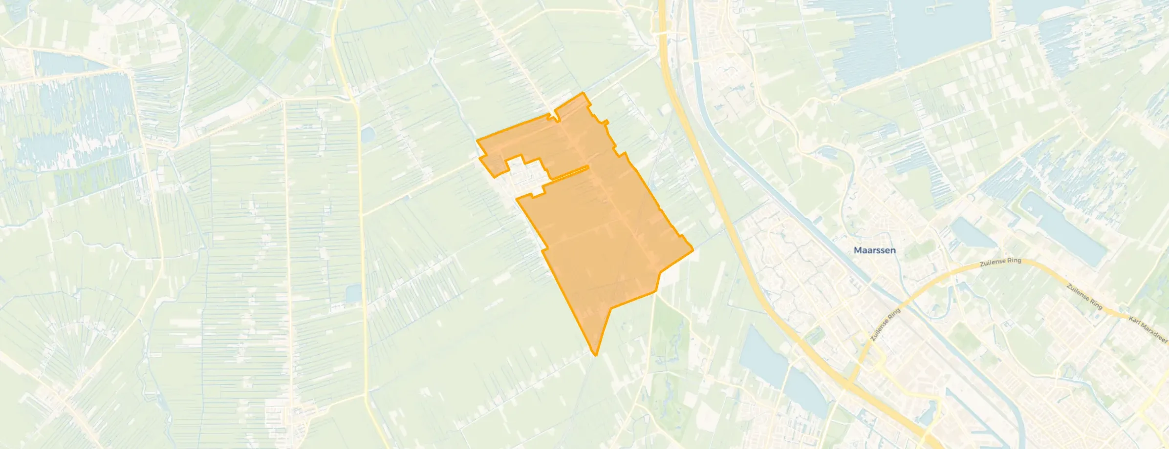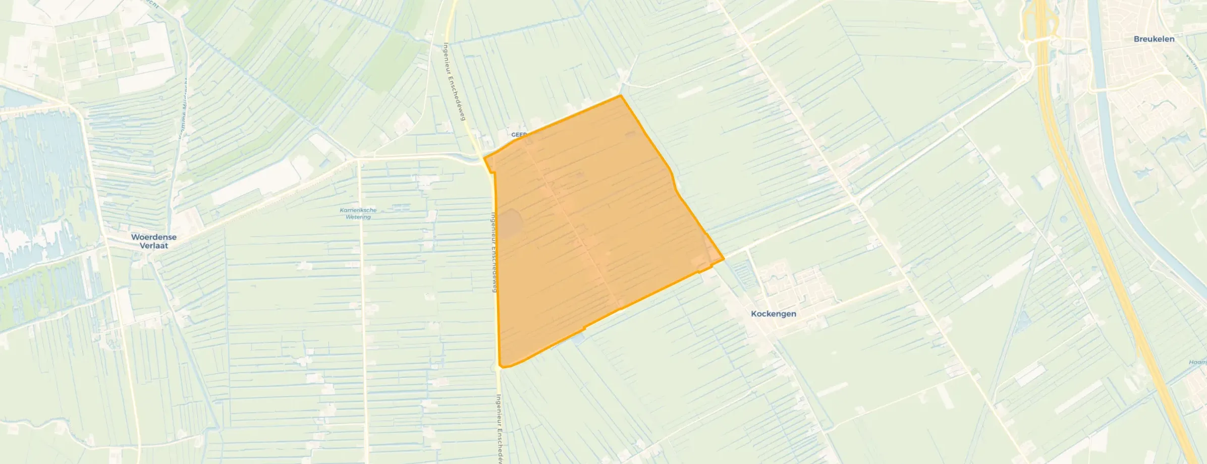
District in Stichtse Vecht
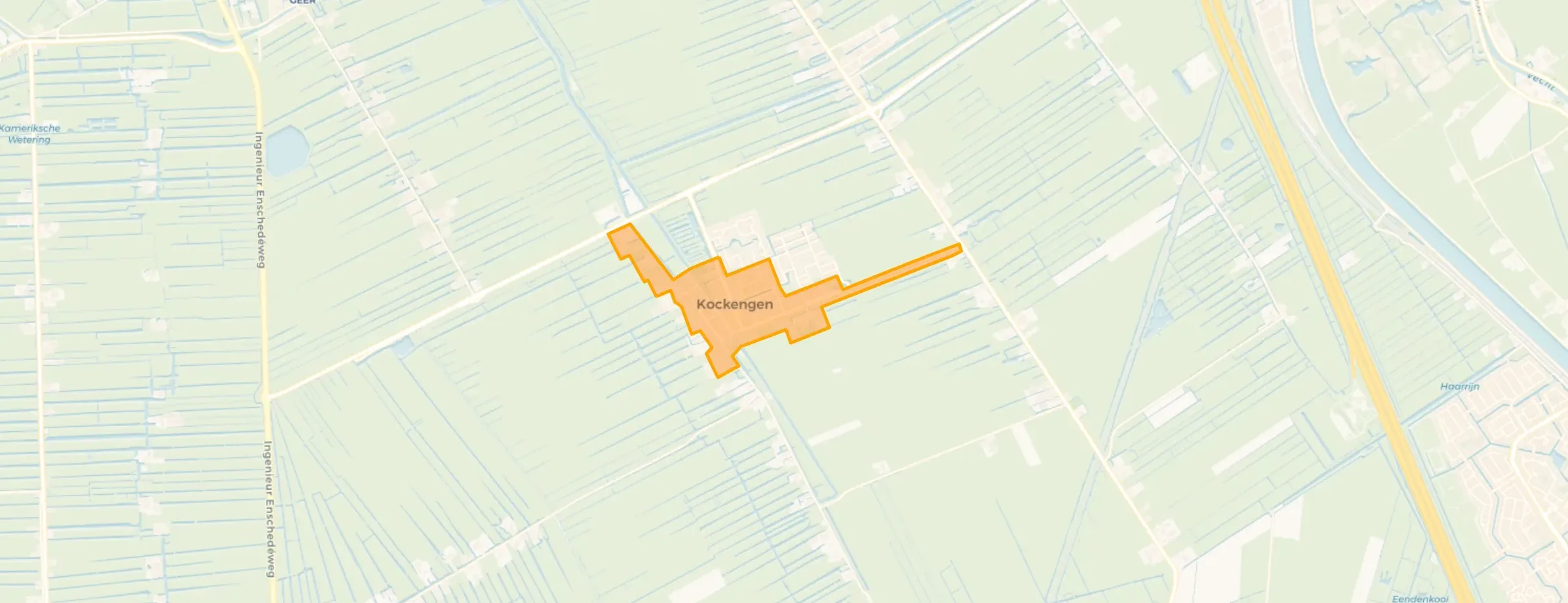
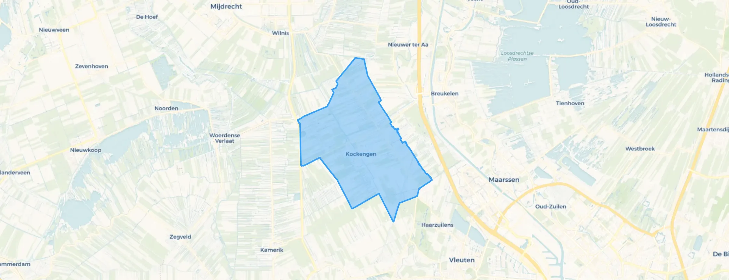
Kockengen is located in the province of Utrecht, in the municipality of Stichtse Vecht The district has a total area of 1.947 hectares, of which 1.869 hectares are land and 78 hectares are water. The district is coded as WK190405. The postcode area is 3628AA-3628NS.
Kockengen has 3.470 residents. Of these, 50,6% are men and 49,6% are women. Most residents are 45 to 65 years (27,4%). The other age groups are 23,3% for '65 years or older', 20,6% for '25 to 45 years', 17,0% for '0 to 15 years' and 11,7% for '15 to 25 years'. Of the residents, 44,8% is unmarried, 43,9% is married, 6,2% is divorced and 5,0% is widowed. 3.040 residents originate from the Netherlands, 165 come from Europe and 270 come from countries outside Europe.
There are 1.430 households in Kockengen. 30,8% of these are single-person households, 32,5% households without children and 36,7% households with children. The average household size is 2,4 persons. The national average is 2,1 persons.
In Kockengen there are 2.800 income recipients. The average income per income recipient is €45.200, which is €3.000 (7%) higher than the national average of €42.200. Per resident, the average income is €36.700, which is €1.800 (5%) higher than the national average of €34.900. Most residents of Kockengen are educated to an intermediate level. 43,5% have an intermediate education (HAVO, VWO or MBO 2-4), 30,2% have a university or higher professional education (HBO/WO) and 26,2% have a lower education (VMBO or MBO 1).
Of the 3.470 residents, around 76% are in paid employment, which amounts to 2.637 people. This is 4% higher than the national average of 72%. The majority of workers are in salaried employment (75%), while 25% are self-employed. In Kockengen, 26% of residents receive a benefit. The largest group is those receiving a state pension (AOW). 730 people receive this benefit.
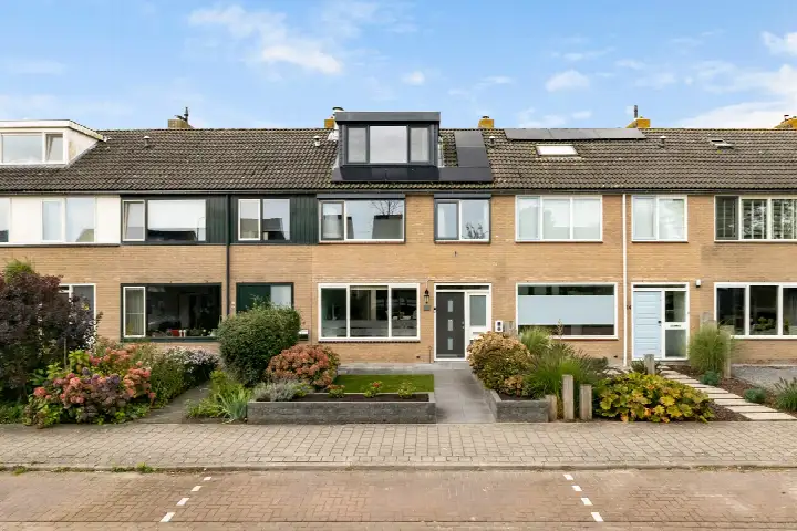
In Kockengen there are 1.439 homes with an average assessed value (WOZ) of €530.000. Of these, around 96% are occupied and 4% unoccupied. Most homes are owner-occupied. This amounts to 32% rental homes and 68% owner-occupied homes. Of the homes, 68% privately owned, 23% owned by housing associations and 9% owned by other landlords. The most common construction periods in Kockengen are 1970-1980 (26%) and 1950-1970 (16%).
There are currently no homes for sale in Kockengen. The most recently listed home is Prins Bernhardweg 13 by Sijmons-Dolata. No homes were sold in Kockengen over the past year.
There are currently no homes for rent in Kockengen. The most recent home is Nieuwstraat 20, offered by Vida makelaars og - Mijdrecht, Vinkeveen, Wilnis. No homes were let in Kockengen over the past year.
No recent rental data available for Kockengen.
In Kockengen there are 838 addresses with a registered energy label. The most common labels are C (37%), A (21%) and B (18%). On average, an address in Kockengen uses 2.950 kWh of electricity per year. This is 16% above the national average of 2.550 kWh. Natural gas consumption, at 1.000 m³ per year, is 25% above the national average of 800 m³.
The housing stock is mainly post-war — 58% was built between 1945 and 1990.
Over the past year a home for sale in Kockengen was listed for an average of €668,152 (€4,906 per m²). That is 26% above the Dutch national average.
Wijk Kockengen has 3,470 residents. Many families: 37% of the households have children.
The housing supply in Kockengen is remarkably efficient: 60% has an A, A+ or B label. The average natural gas consumption per household is 1,000 m³ per year.
From Kockengen you can on average reach a supermarket at 1.0 km, a GP at 1.1 km, a railway station at 5.2 km, a primary school at 0.9 km (as the crow flies, source: CBS).
Right now you will find 17 homes for sale and 2 homes for rent in Kockengen.