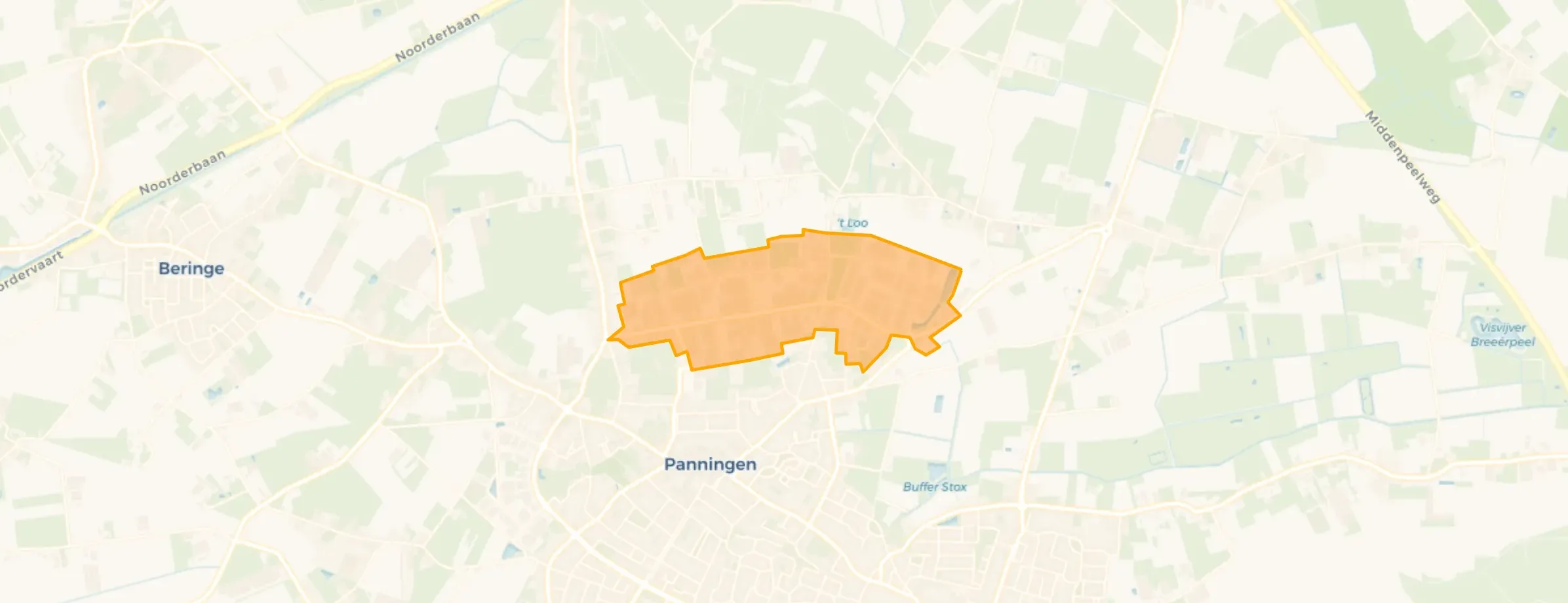
Neighbourhood in Peel en Maas
Buitengebied Industrie Panningen is located in the province of Limburg, in the municipality of Peel en Maas, in the district Panningen The neighbourhood has a total area of 70 hectares, of which 70 hectares are land and 0 hectares are water. The neighbourhood is coded as BU18940107. The postcode area is 5981NB-5981XW.
Buitengebied Industrie Panningen has 15 residents. Of these, 33,3% are men and 33,3% are women. Most residents are 0 to 15 years (33,3%). The other age groups are 33,3% for '25 to 45 years' and 33,3% for '45 to 65 years'. Of the residents, 33,3% is unmarried and 33,3% is married. 10 residents originate from the Netherlands.
The average income per income recipient is €42.000, which is €200 (0%) lower than the national average of €42.200. Per resident, the average income is €33.200, which is €1.700 (5%) lower than the national average of €34.900.
Of the 15 residents, around 82% are in paid employment, which amounts to 12 people. This is 10% higher than the national average of 72%.
In Buitengebied Industrie Panningen there are 8 homes. The most common construction periods in Buitengebied Industrie Panningen are 1950-1970 (30%) and 2020 and later (24%).
There are currently no homes for sale in Buitengebied Industrie Panningen. The most recently listed home is INDUSTRIETERREIN PANNINGEN 19 by Maison Makelaars. Over the past year, 1 homes were sold in Buitengebied Industrie Panningen. On average, a home was sold within 77 days.
There are currently no homes for rent in Buitengebied Industrie Panningen. No homes were let in Buitengebied Industrie Panningen over the past year.
No recent rental data available for Buitengebied Industrie Panningen.
In Buitengebied Industrie Panningen there are 31 addresses with a registered energy label. The most common labels are A (32%), C (16%) and A+++++ (13%). On average, an address in Buitengebied Industrie Panningen uses 3.430 kWh of electricity per year. This is 35% above the national average of 2.550 kWh. Natural gas consumption, at 1.030 m³ per year, is 29% above the national average of 800 m³.







