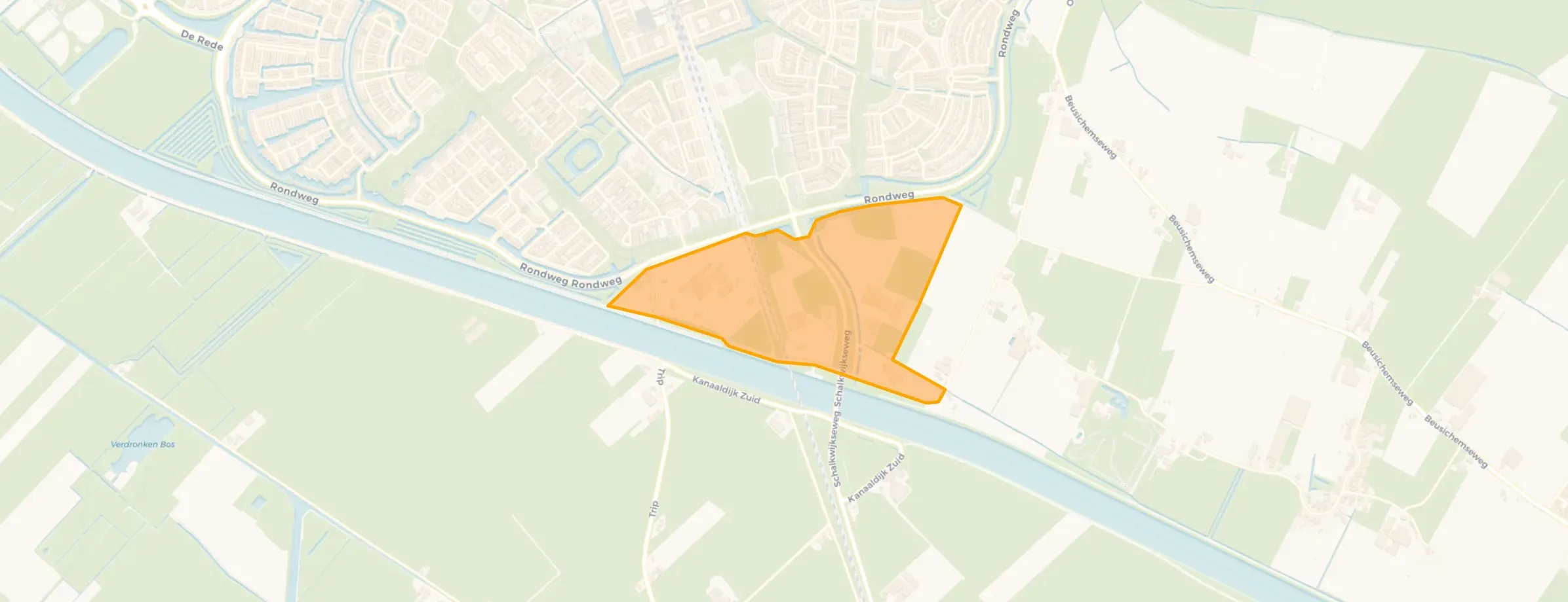
Neighbourhood in Houten
De Poel is located in the province of Utrecht, in the municipality of Houten, in the district Houten Buitengebied The neighbourhood has a total area of 40 hectares, of which 40 hectares are land and 0 hectares are water. The neighbourhood is coded as BU03212063. The postcode area is 3991MC-3994MC.
De Poel has 25 residents. Of these, 60,0% are men and 40,0% are women. Most residents are 65 years or older (40,0%). The other age groups are 20,0% for '25 to 45 years' and 20,0% for '45 to 65 years'. Of the residents, 20,0% is unmarried, 60,0% is married and 20,0% is divorced. 20 residents originate from the Netherlands.
There are 10 households in De Poel. 50,0% of these are single-person households, 50,0% households without children and 0,0% households with children. The average household size is 2,3 persons. The national average is 2,1 persons.
In De Poel there are 10 homes. The most common construction periods in De Poel are 2000-2010 (25%) and 2010-2020 (20%).
There are currently no homes for sale in De Poel. No homes were sold in De Poel over the past year.
There are currently no homes for rent in De Poel. No homes were let in De Poel over the past year.
No recent rental data available for De Poel.
In De Poel there are 5 addresses with a registered energy label. The most common labels are A+ (40%), A (40%) and C (20%). On average, an address in De Poel uses 3.860 kWh of electricity per year. This is 51% above the national average of 2.550 kWh. Natural gas consumption, at 1.290 m³ per year, is 61% above the national average of 800 m³.
The housing stock is relatively young — 55% dates from after 1990. In addition, the most common type is detached houses (75%).
Over the past year a home for sale in De Poel was listed for an average of €612,969 (€5,119 per m²). That is 16% above the Dutch national average.
A rental home in De Poel cost an average of €1,843 per month (€17 per m²). That is 15% below the national average.
The housing supply in De Poel is remarkably efficient: 82% has an A, A+ or B label. The average natural gas consumption per household is 1,290 m³ per year.
From De Poel you can on average reach a supermarket at 3.6 km, a GP at 3.2 km, a railway station at 1.8 km, a primary school at 1.5 km (as the crow flies, source: CBS).







