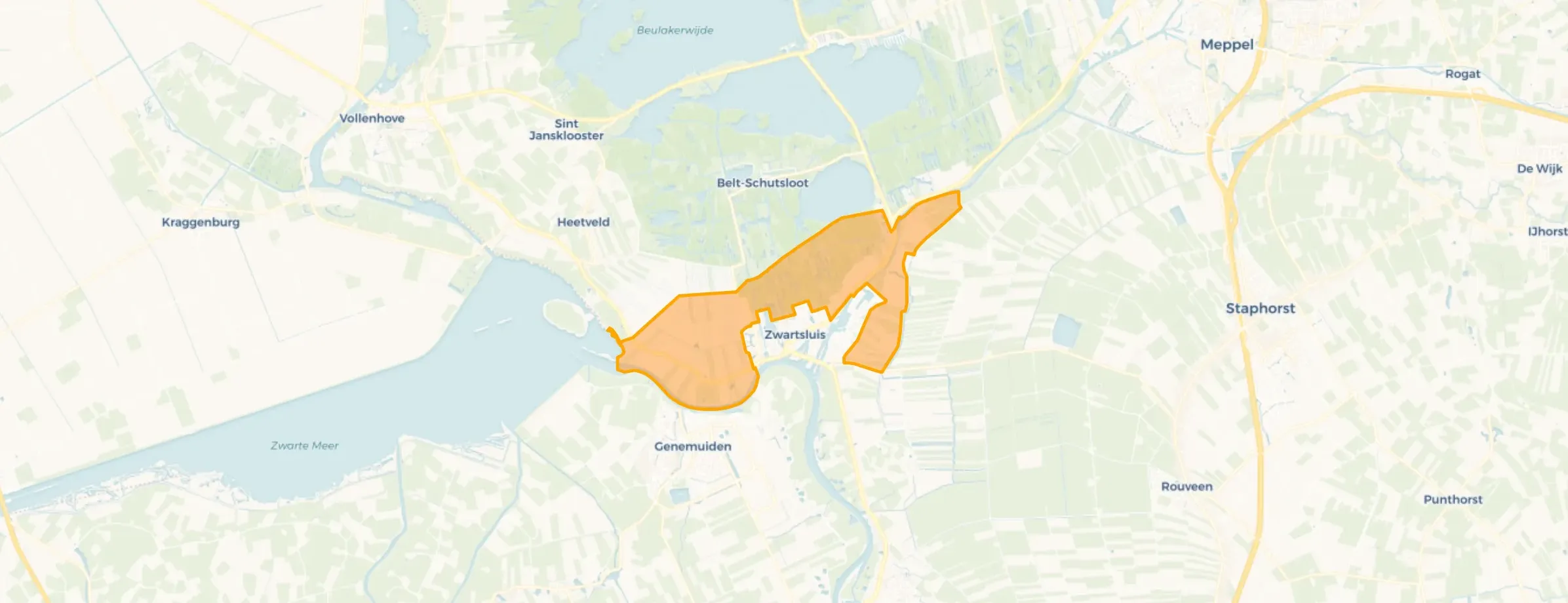
Landelijk gebied Zwartsluis is located in the province of Overijssel, in the municipality of Zwartewaterland, in the district Zwartsluis. The neighbourhood has a total area of 1.039 hectares, of which 978 hectares are land and 61 hectares are water. The neighbourhood is coded as BU18960409. The postcode area is 8064PD-8064XC.
Landelijk gebied Zwartsluis has 30 residents. Of these, 50,0% are men and 50,0% are women. Most residents are 45 to 65 years (50,0%). The other age groups are 33,3% for '15 to 25 years', 16,7% for '0 to 15 years', 16,7% for '25 to 45 years' and 16,7% for '65 years or older'. Of the residents, 50,0% is unmarried and 50,0% is married. 25 residents originate from the Netherlands and 5 come from countries outside Europe.
There are 10 households in Landelijk gebied Zwartsluis. 50,0% of these are single-person households, 0,0% households without children and 50,0% households with children. The average household size is 2,8 persons. The national average is 2,1 persons.
In Landelijk gebied Zwartsluis there are 13 homes. The most common construction periods in Landelijk gebied Zwartsluis are 1900-1925 (22%) and 1950-1970 (22%).
There are currently no homes for sale in Landelijk gebied Zwartsluis. No homes were sold in Landelijk gebied Zwartsluis over the past year.
There are currently no homes for rent in Landelijk gebied Zwartsluis. No homes were let in Landelijk gebied Zwartsluis over the past year.
No recent rental data available for Landelijk gebied Zwartsluis.
In Landelijk gebied Zwartsluis there are 4 addresses with a registered energy label. The most common labels are E (50%), C (25%) and G (25%). On average, an address in Landelijk gebied Zwartsluis uses 3.600 kWh of electricity per year. This is 41% above the national average of 2.550 kWh. Natural gas consumption, at 1.760 m³ per year, is 120% above the national average of 800 m³.







