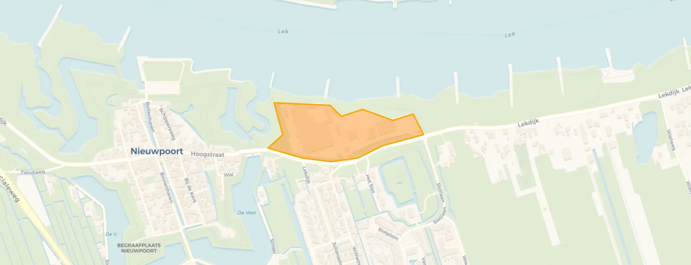
Neighbourhood in Molenlanden
Langerak-Noord is located in the province of Zuid-Holland, in the municipality of Molenlanden, in the district Langerak The neighbourhood has a total area of 4 hectares, of which 4 hectares are land and 0 hectares are water. The neighbourhood is coded as BU19781001. The postcode area is 2967GJ.
In Langerak-Noord there are 2 homes. The most common construction periods in Langerak-Noord are 1900-1925 (25%) and 1950-1970 (25%).
There are currently no homes for sale in Langerak-Noord. No homes were sold in Langerak-Noord over the past year.
There are currently no homes for rent in Langerak-Noord. No homes were let in Langerak-Noord over the past year.
No recent rental data available for Langerak-Noord.
The most common type is detached houses (100%).
Over the past year a home for sale in Langerak-Noord was listed for an average of €702,792 (€4,229 per m²).
A rental home in Langerak-Noord cost an average of €1,834 per month (€13 per m²).
The housing supply in Langerak-Noord is remarkably efficient: 52% has an A, A+ or B label.







