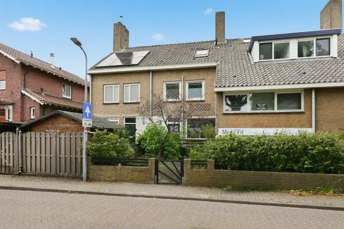
Oud Koog

Oud Koog, Zaanstad – “Nice neighbourhood”

Neighbourhood in Zaanstad

7.3
Residents give Oud Koog a good ratingThis score is based on 1 response
View
Oud Koog has 4,910 residentsMost are 25 to 45 years old
There are 2,285 homes in Oud KoogCurrently there are 35 for sale and 4 for rent
Energy label A is the most common in Oud KoogBased on registered homes

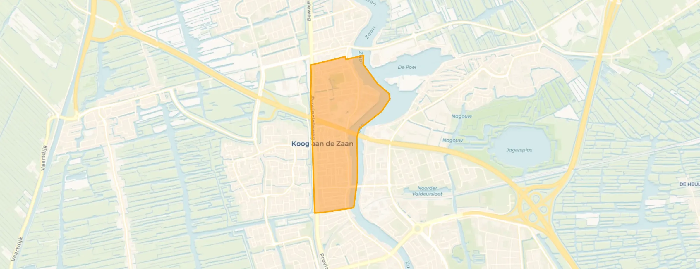
Oud Koog is located in the province of Noord-Holland, in the municipality of Zaanstad, in the district Oud Koog a/d Zaan The neighbourhood has a total area of 96 hectares, of which 81 hectares are land and 15 hectares are water. The neighbourhood is coded as BU04793110. The postcode area is 1541AA-1541LX.

One resident rates the neighbourhood as good with a score of 7.3. The resident describes this neighbourhood as 'Nice neighbourhood'. Based on a limited number of reviews, no clear trends are visible yet in this neighbourhood.

Residents

Oud Koog has 4.910 residents. Of these, 50,6% are men and 49,5% are women. Most residents are 25 to 45 years (29,2%). The other age groups are 27,3% for '45 to 65 years', 16,8% for '65 years or older', 15,0% for '0 to 15 years' and 11,8% for '15 to 25 years'. Of the residents, 54,8% is unmarried, 32,7% is married, 8,7% is divorced and 4,0% is widowed. 3.265 residents originate from the Netherlands, 585 come from Europe and 1.060 come from countries outside Europe.

There are 2.395 households in Oud Koog. 40,9% of these are single-person households, 24,4% households without children and 34,7% households with children. The average household size is 2,1 persons.

In Oud Koog there are 3.900 income recipients. The average income per income recipient is €34.600, which is €1.200 (3%) lower than the national average of €35.800. Per resident, the average income is €28.500, which is €700 (2%) lower than the national average of €29.200. Most residents of Oud Koog are educated to an intermediate level. 47,6% have an intermediate education (HAVO, VWO or MBO 2-4), 26,7% have a university or higher professional education (HBO/WO) and 25,7% have a lower education (VMBO or MBO 1).

Of the 4.910 residents, around 65% are in paid employment, which amounts to 3.192 people. This is 0% lower than the national average of 65%. The majority of workers are in salaried employment (84%), while 16% are self-employed. In Oud Koog, 24% of residents receive a benefit. The largest group is those receiving a state pension (AOW). 720 people receive this benefit.

Housing

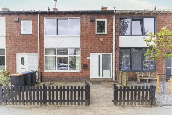
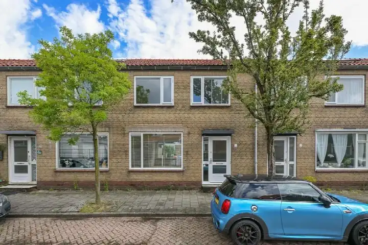
In Oud Koog there are 2.285 homes with an average assessed value (WOZ) of €329.000. Of these, around 97% are occupied and 3% unoccupied. Most homes are owner-occupied. This amounts to 43% rental homes and 57% owner-occupied homes. Of the homes, 56% privately owned, 34% owned by housing associations and 10% owned by other landlords. The most common construction periods in Oud Koog are 1925-1950 (43%) and 1900-1925 (17%).

Homes for sale

There are currently no homes for sale in Oud Koog. The most recently listed home is Tulpstraat 13 by De Woonmeester op Funda. No homes were sold in Oud Koog over the past year.

Rental homes

There are currently no homes for rent in Oud Koog. The most recent home is Zuideinde 74Y, offered by Brantjes Makelaars Assendelft op Funda. No homes were let in Oud Koog over the past year.
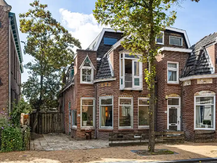
No recent rental data available for Oud Koog.

Energy

In Oud Koog there are 2.448 addresses with a registered energy label. The most common labels are G (24%), F (18%) and C (17%). On average, an address in Oud Koog uses 2.410 kWh of electricity per year. This is 14% below the national average of 2.810 kWh. With an annual consumption of 1.100 m³ per address, natural gas consumption is 14% below the national average of 1.280 m³.

Street names

  • Rozenstraat
  • Zwarte Bonsemstraat
  • Hoogstraat
  • Jonge Kuiperstraat
  • Parkzicht
  • Dahliastraat
  • Reëelenstraat
  • Verzetstraat
  • Stationsdwarsstraat
  • Kerkstraat
  • Pinkstraat
  • Machinistenstraat
  • Beatrixstraat
  • Narcisstraat
  • Museumlaan
  • Stationsstraat
  • Leeghwaterstraat
  • Vermaningstraat
  • Kogerhoutpad
  • Anemoonstraat
  • Breestraat
  • Mariastraat
  • Raadhuisstraat
  • Badhuisstraat
  • Jonge Zwaanstraat
  • Jan Bestevaerstraat
  • Tuinpad
  • Hyacintstraat
  • Munnikstraat
  • Leliestraat
  • Koogersluispad
  • BedrijvigeBij
  • Zuiderkerkstraat
  • Bloemstraat
  • Sportstraat
  • Zuideinde
  • Kogerhout
  • Troelstraplein
  • Kruisstraat
  • Vioolstraat
  • Emmastraat
  • Pellekaanstraat
  • Parallelweg
  • Tulpstraat
  • Eendrachtstraat
  • Kieftstraat
  • Schipperslaan
  • Krokusstraat
  • De Ruyterstraat
  • Prins Hendrikstraat
  • Lagendijk
  • Stationsplein
  • Anjelierstraat
  • Bloemwijkertunnel
  • Provincialeweg
  • Irisstraat
  • Louisestraat
  • Sluisstraat
  • Julianastraat
  • Jan de Wittestraat
  • Loodwitmolenpad
  • Breedweer
  • Kaarsenmakersstraat
  • Boschjesstraat
  • Kogersluisstraat
  • Hendrik Sweepestraat
  • Johanna Elisabethstraat
  • Kogertunnel
  • Wilhelminastraat

Amenities

GP
0,6 km
Pharmacy
0,8 km
Hospital
2,6 km
Supermarket
0,5 km
Railway station
0,7 km
Day nursery
0,4 km
Primary school
0,7 km
Secondary school
1,6 km
View homes in Oud Koog

Easily find available homes, schools and supermarkets on our map.

View homes for sale View homes for rent
Rate Oud Koog

Share your opinion and help improve the neighbourhood.

  • Takes less than 2 minutes
  • Help home seekers
  • Improve your neighbourhood
Write a review
7.3
Residents give Oud Koog a good rating
This score is based on 1 response
Join the conversation
Safety
Housing
Cleanliness
Amenities
Education
Community
Greenery
Accessibility

Experiences of Oud Koog

Join the conversation
7.3
Mycah
Gezin · tussenwoning
18-10-2023
Nice neighbourhood

Little noise pollution, clean and has plenty of access to public transport. Small but nice

Auto-translated to English by AI

Statistics about the residents

Ages

Residents per age category

Household composition

Households per category
980Single-person households
585Households without children
830Households with children

Gender

Residents by gender
Men
Women

Marital status

Residents by marital status
Married
Unmarried
Divorced
Widowed

Origin

Residents per category of origin
Netherlands
Europe
Outside Europe

Work & income

Labour participation and average income
€28,500 P.A.average per resident7% below the national average
€34,600 P.A.average per income recipient7% below the national average
1%is in paid employment
0%is self-employed
1%
of the residents are employed
72%
is the national average

Education level

Residents per education level
VMBO, MBO 1
HAVO/VWO, MBO 2-4
HBO/WO

Wealth

Median wealth per household
Oud Koog
Netherlands

Benefits

Residents per benefit type
Social assistance
Disability
Unemployment
Sponsored
View more than 250 topics about Oud Koog in clear figures and charts on AlleCijfers.nl!
View on AlleCijfers.nl

Housing market in Oud Koog

Sale price · Q3 2026
€433.306
average▲ 5,0%
€415.000
median▲ 10,7%
36 sales · vs. Q2 2026
€/m² for sale · Q3 2026
€4.814
average▼ 4,0%
€4.690
median▼ 4,3%

Sales market

Market speed and dynamics, last 12 months
41 days
average time listed · vs. last year
68
sales in the past year
90 m²
average living area
€250.000
lowest sale price in the past year

Year built

Age of the housing stock

Energy labels

Sustainability of the housing stock

Living area

Distribution of home sizes

Statistics about the homes

Home types

Addresses per home type

Construction periods

Addresses per construction period

Labels

Addresses per energy label

Energy consumption

Average per address, compared with the Netherlands
Natural gas (m³)
Oud Koog
1.100
Netherlands
1.280
Electricity (kWh)
Oud Koog
2.410
Netherlands
2.810

Frequently asked questions about Oud Koog

What does the housing stock in Oud Koog look like?

The housing stock is predominantly pre-war — 65% of the homes date from before 1945.

How much does a home cost in Oud Koog?

Over the past year a home for sale in Oud Koog was listed for an average of €427,926 (€4,943 per m²). Last quarter prices rose by 5%.

How is the population of Oud Koog composed?

Buurt Oud Koog has 4,910 residents. Many families: 35% of the households have children.

What are the energy labels in Oud Koog?

A considerable share of the supply in Oud Koog is less efficient: 30% has an E, F or G label. The average natural gas consumption per household is 1,100 m³ per year.

How far are amenities from Oud Koog?

From Oud Koog you can on average reach a supermarket at 0.5 km, a GP at 0.6 km, a railway station at 0.7 km, a primary school at 0.7 km (as the crow flies, source: CBS).

How many homes are currently for sale in Oud Koog?

Right now you will find 35 homes for sale and 4 homes for rent in Oud Koog.
Buurtje.nl
Buurtje.nl in the appSearch faster and respond first
Open