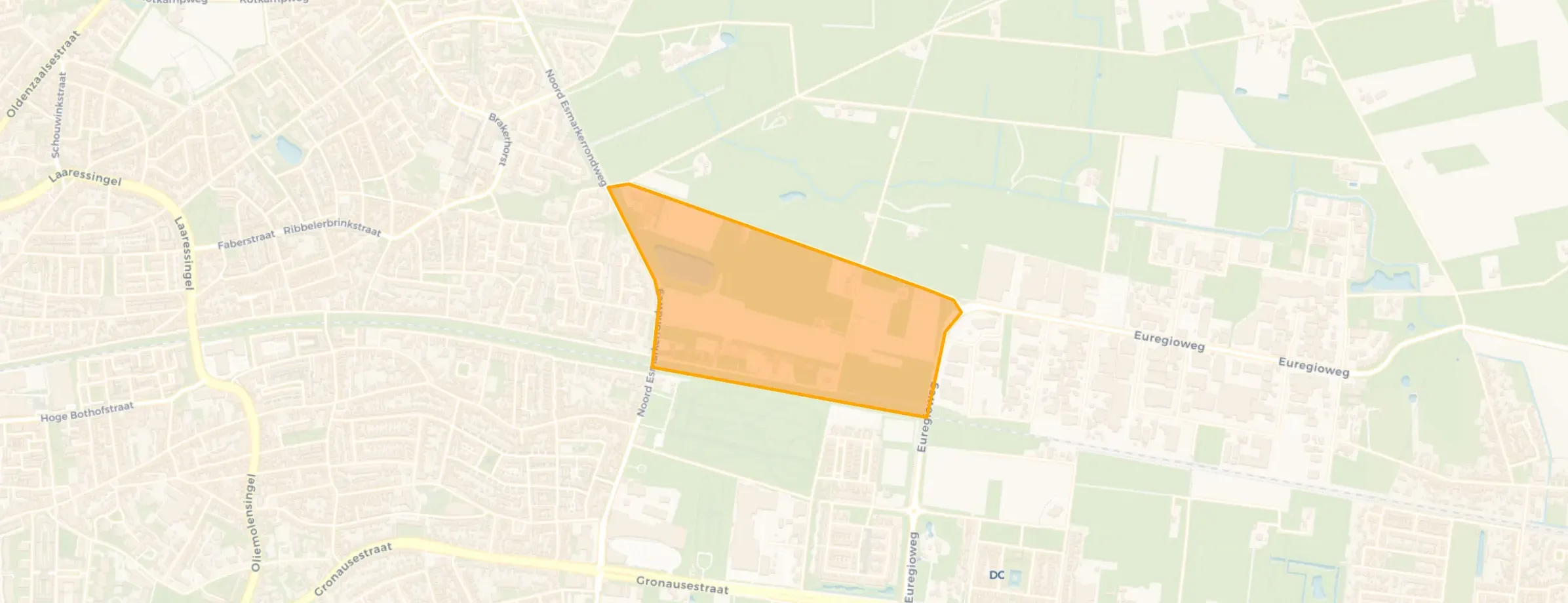
’t Weldink is located in the province of Overijssel, in the municipality of Enschede, in the district Hogeland - Velve. The neighbourhood has a total area of 37 hectares, of which 36 hectares are land and 1 hectares are water. The neighbourhood is coded as BU01530105. The postcode area is 7531HC-7532SP.
’t Weldink has 30 residents. Of these, 50,0% are men and 50,0% are women. Most residents are 65 years or older (33,3%). The other age groups are 16,7% for '0 to 15 years', 16,7% for '15 to 25 years', 16,7% for '25 to 45 years' and 16,7% for '45 to 65 years'. Of the residents, 33,3% is unmarried, 33,3% is married and 16,7% is widowed. 25 residents originate from the Netherlands.
There are 15 households in ’t Weldink. 66,7% of these are single-person households, 33,3% households without children and 0,0% households with children. The average household size is 2,2 persons. The national average is 2,1 persons.
In ’t Weldink there are 12 homes. The most common construction periods in ’t Weldink are 1950-1970 (44%) and 2020 and later (22%).
There are currently no homes for sale in ’t Weldink. No homes were sold in ’t Weldink over the past year.
There are currently no homes for rent in ’t Weldink. The most recent home is Oosterstraat 327, offered by Verhuurbeheertwente. Over the past year, 1 homes were let in ’t Weldink. On average, a listing was let within 0 days.
The average rent for a rental home in ’t Weldink over the past year was €1.400 per month. Per m² of floor area that is €23 per month.
In ’t Weldink there are 7 addresses with a registered energy label. The most common labels are A+++++ (43%), A+++ (14%) and A (14%). On average, an address in ’t Weldink uses 3.250 kWh of electricity per year. This is 27% above the national average of 2.550 kWh. Natural gas consumption, at 1.270 m³ per year, is 59% above the national average of 800 m³.
The most common type is detached houses (61%).
Over the past year a home for sale in ’t Weldink was listed for an average of €427,691 (€3,288 per m²). That is 17% below the Dutch national average.
A rental home in ’t Weldink cost an average of €1,863 per month (€19 per m²).
From ’t Weldink you can on average reach a supermarket at 1.1 km, a GP at 1.3 km, a railway station at 1.9 km, a primary school at 1.0 km (as the crow flies, source: CBS).







