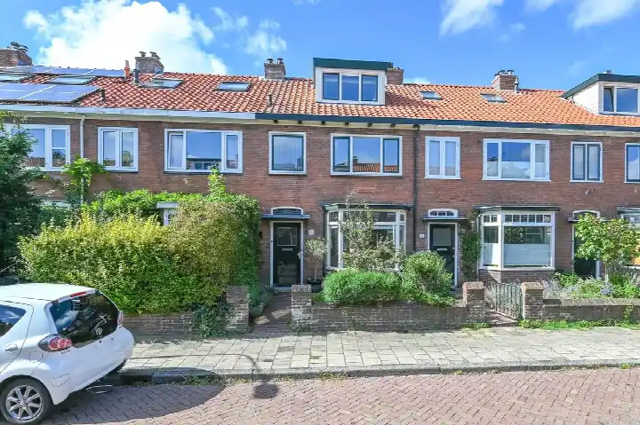
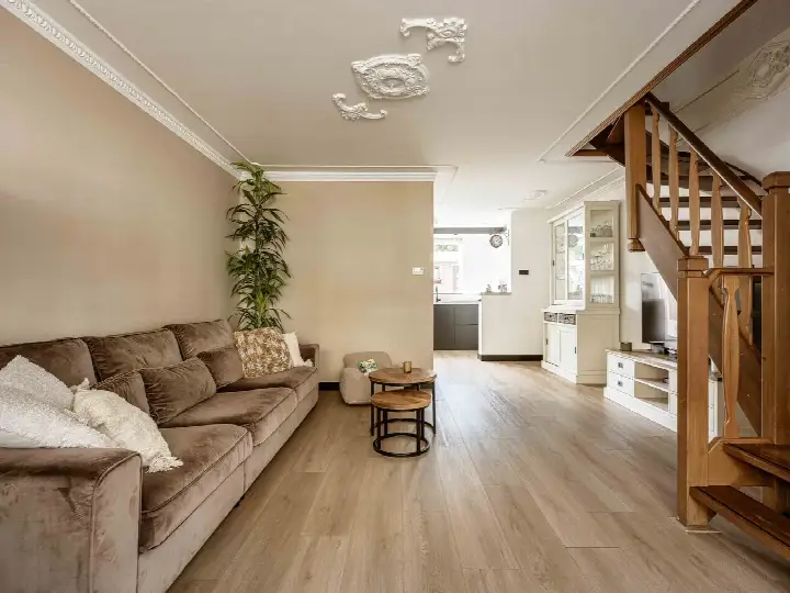
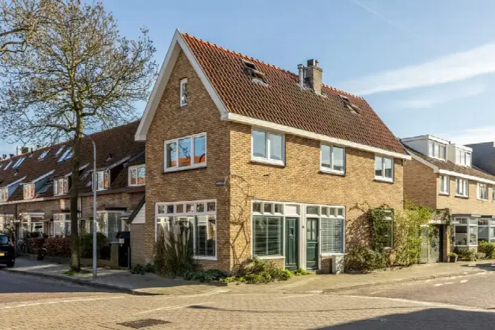
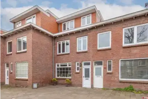
Reijer Anslostraat 53
Nachtegaalbuurt, Haarlem
 Area
AreaA 1930s terraced house in Haarlem's Nachtegaalbuurt
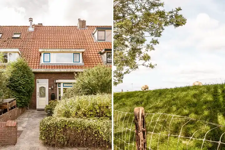
This 1933 terraced house sits on the Reijer Anslostraat in the Nachtegaalbuurt, a residential street in Haarlem's Vogelenwijk. With an asking price of €695,000, the home is on the high side compared with the average asking price of €486,211 for terraced houses in Haarlem, which is 43% above the neighbourhood average. The house offers a living area of 161 m² according to the agent, which is 89% larger than the neighbourhood average of 85 m².
A spacious family home
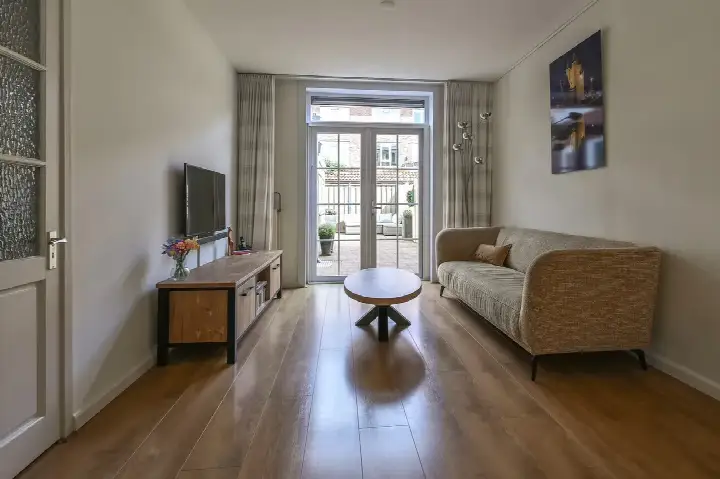
The agent describes this as a single-family terraced house with seven rooms, six bedrooms and two bathrooms spread over three floors, with a volume of 545 m³. It has both a front and a west-facing back garden, plus a balcony. The home has double glazing and a central heating boiler, and it is offered as full ownership. According to the BAG registration the living area is 164 m², while the agent lists 161 m²; the plot is 206 m² in both sources.
Life in the Nachtegaalbuurt
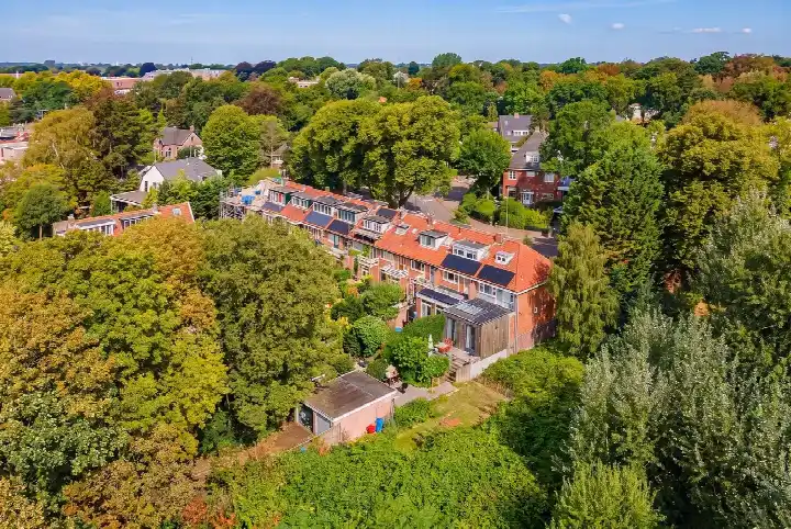
Residents across the municipality of Haarlem give their living environment an average score of 7.29, based on 73 reviews. One resident says: "very nice and beautiful neighbourhood." Another, who has lived there for almost 30 years, describes a decline in atmosphere due to litter and a lack of connection among new residents. The neighbourhood itself has 2,410 inhabitants, and about 71% of the homes are single-family houses. The Nachtegaalbuurt neighbourhood is part of the Vogelenwijk district.
Amenities and transport
Daily errands are easy from here: the PLUS and Dekamarkt supermarkets are just around the corner, and an Albert Heijn is a couple of streets away. Openbare Basisschool De Dolfijn and Rooms katholiek Basisschool St Bavo are both within a five-minute walk. The GP practice Huisartspraktijk Windhorst and Apotheek Het Catharinahuis are a couple of streets away, and the Spaarne Gasthuis Haarlem-Noord hospital is a ten-minute walk. Bus stops at Winkelcentrum Marsmanplein are on your doorstep, served by lines 3, 14, 73, 568, 569 and N80, and Santpoort Zuid train station is about 1.4 km away. The municipality of Haarlem offers further amenities within easy reach.
WOZ and address data
No WOZ value is available for this home. The address-level risk data from public sources indicates a medium foundation risk, which is an area-level indication based on the pre-1970 construction in this postcode area, on sandy soil. Road traffic noise is measured at 56 dB Lden, above the noise standard, while rail and aircraft noise are below their standards. Pluvial flooding risk is medium, and heat stress is medium, both currently and in 2050; flood risk is low. These are area-level indications, not an inspection of this specific home.
Source and agent
At the time of writing, the home is offered via two channels, including Van der Schaaf & Kooijmans Makelaars & Taxateurs on Funda.
This summary was generated with AI and may contain errors. Always verify the details with the provider.
Features
Details of this home
Transfer
Price
Energy
 Save up to € 400 on your energy billCompare now
Areas and volume
 Insure your home and belongingsGet insured
Layout
Construction
Outdoor space
Frequently asked questions
About Reijer Anslostraat 53, Haarlem
How does the asking price compare with other homes in the neighbourhood?
The asking price of €695,000 is 43% above the average asking price of €486,211 for homes currently for sale in the Nachtegaalbuurt. The average price per m² in the neighbourhood is €5,827, while this home is listed at €4,317 per m² based on the agent's living area of 161 m². The neighbourhood average living area is 85 m², so this home is considerably larger.
What is the layout of this terraced house?
According to the agent, this is a single-family terraced house with seven rooms, six bedrooms and two bathrooms spread over three floors. The volume is 545 m³. There is a front garden and a back garden facing west, plus a balcony. The home has double glazing and a central heating boiler, and it is offered as full ownership.
What is the WOZ value of this home?
The WOZ value is not stated in the available data. The WOZ value is the municipal valuation used for property taxes, and it is not part of the listing information provided here. Without this figure, it is not possible to compare the asking price with the official valuation.
What is the foundation risk for this address?
The foundation risk indication for this address is medium, based on area-level data from public sources such as KCAF. This is because the home was built before 1970, in 1933, and 94% of properties in this postcode area were built before 1970. The soil type is sand. This is an area-level indication, not an inspection of this specific home.
What supermarkets and schools are nearby?
The PLUS and Dekamarkt supermarkets are both within about 170 metres, and an Albert Heijn is about 270 metres away. Openbare Basisschool De Dolfijn is about 300 metres away, and Rooms katholiek Basisschool St Bavo is about 330 metres away. A GP practice and pharmacy are both within about 370 metres.
What is public transport like from this address?
The nearest bus stop is Haarlem, Winkelc. Marsmanplein, about 100 metres away, served by bus line 14. Another stop at Winkelcentrum Marsmanplein, about 115 metres away, is served by lines 3, 14, 73, 568, 569 and N80. The nearest train station is Santpoort Zuid, about 1.4 km away.
What do residents say about living in this area?
Residents across the municipality of Haarlem give their living environment an average score of 7.29 out of 10, based on 73 reviews. One resident describes it as "very nice and beautiful neighbourhood." Another resident, who has lived there for almost 30 years, notes a decline in atmosphere due to litter and a lack of connection among new residents. These reviews reflect the municipality as a whole, not specifically the Nachtegaalbuurt.
Is there a risk of flooding or heat stress at this address?
The area-level climate data indicates a medium risk of pluvial flooding during heavy rain, and a medium heat stress level, both currently and in 2050. The flood risk from rivers or the sea is low. These are area-level indications from the Klimaateffectatlas, not an assessment of this specific property.