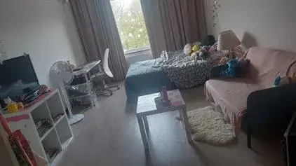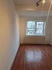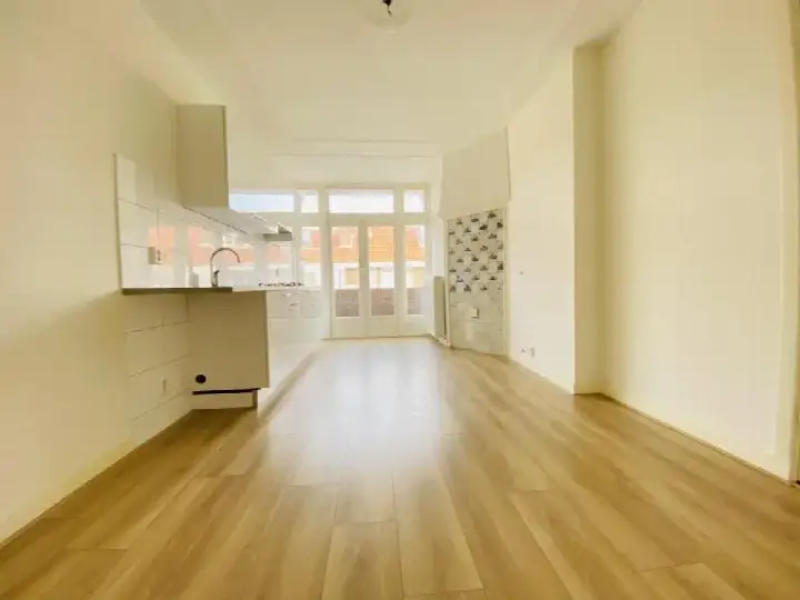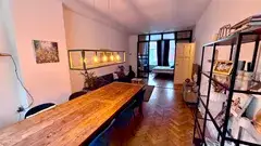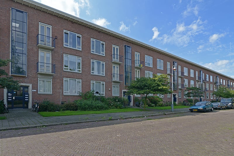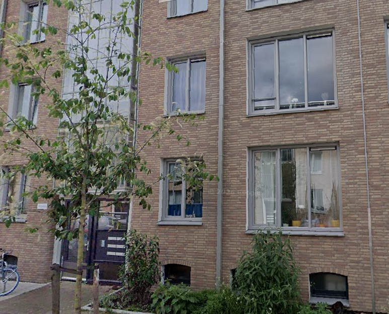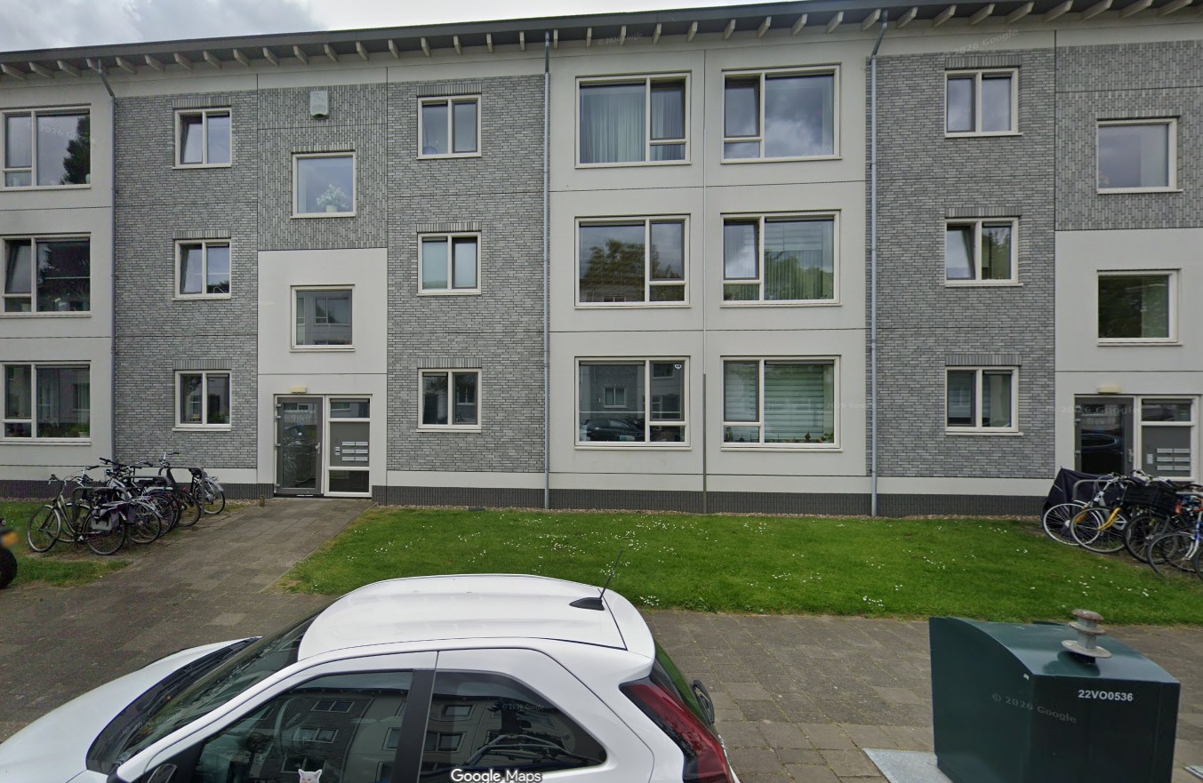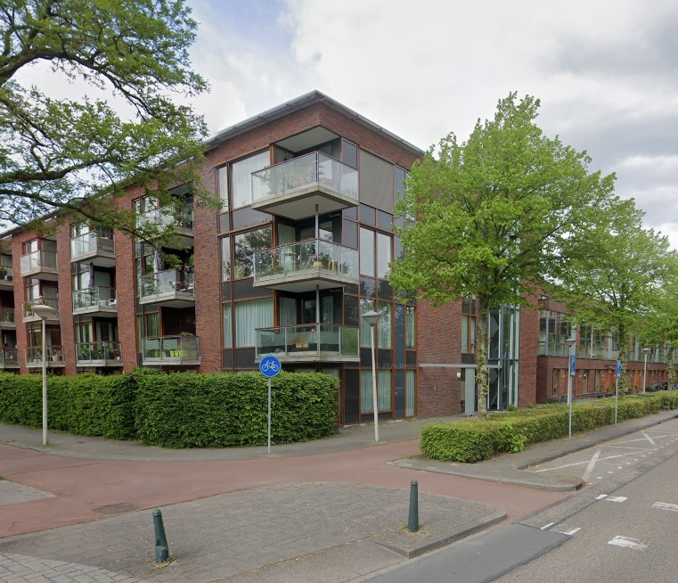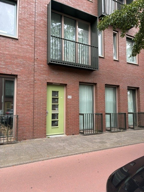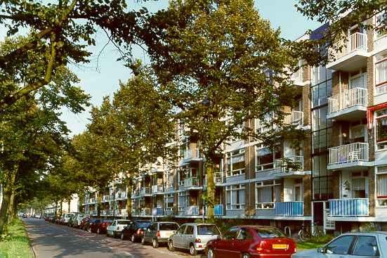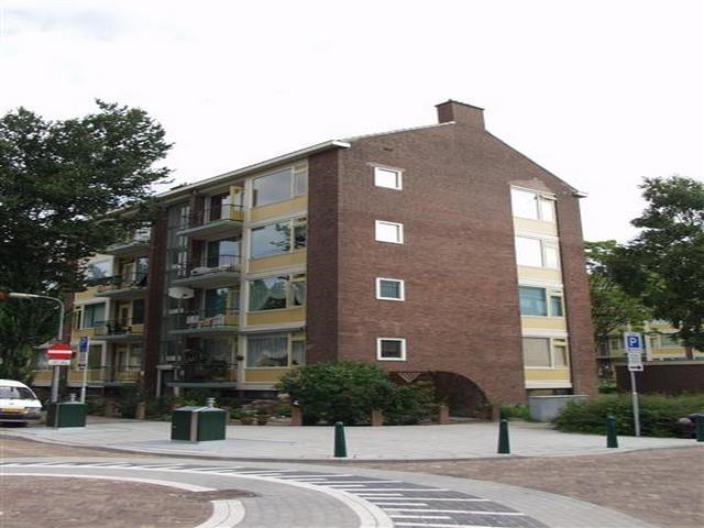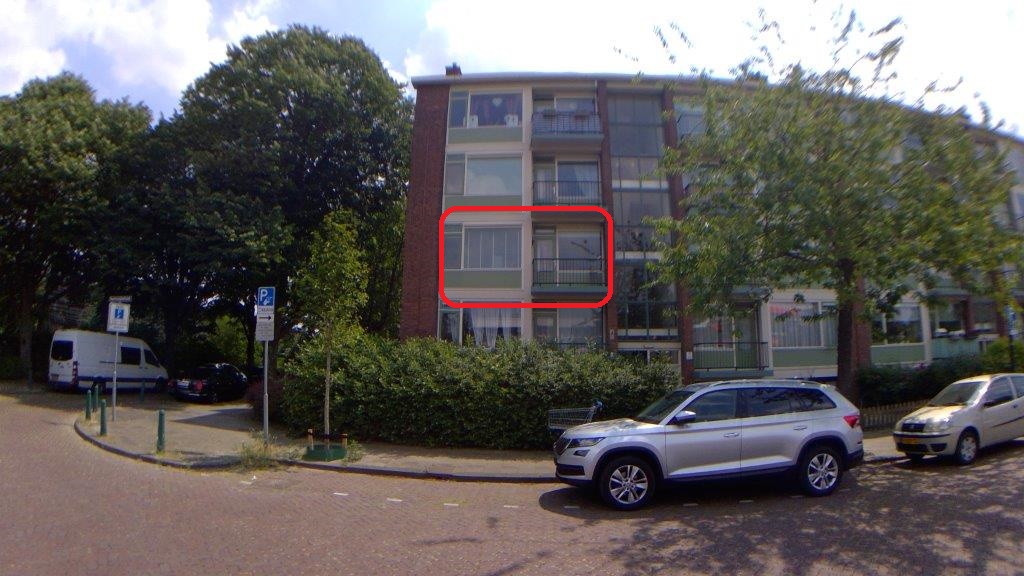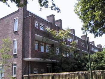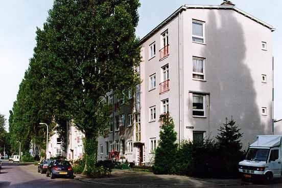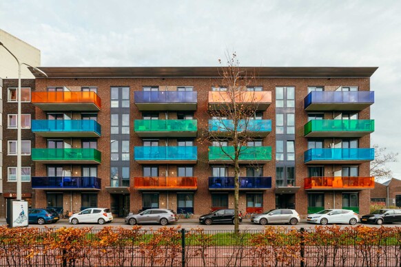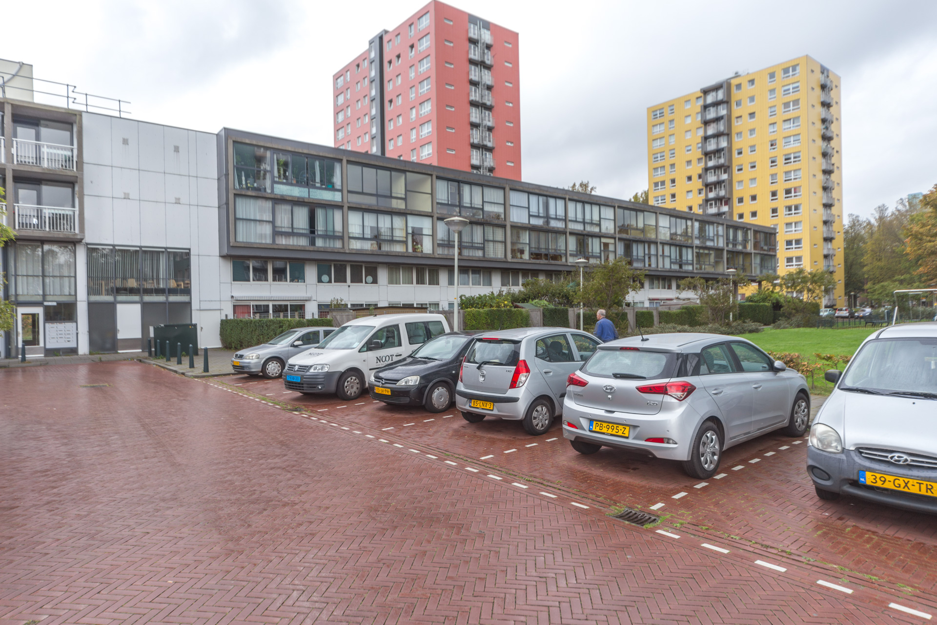





A social housing apartment on Erasmusplein
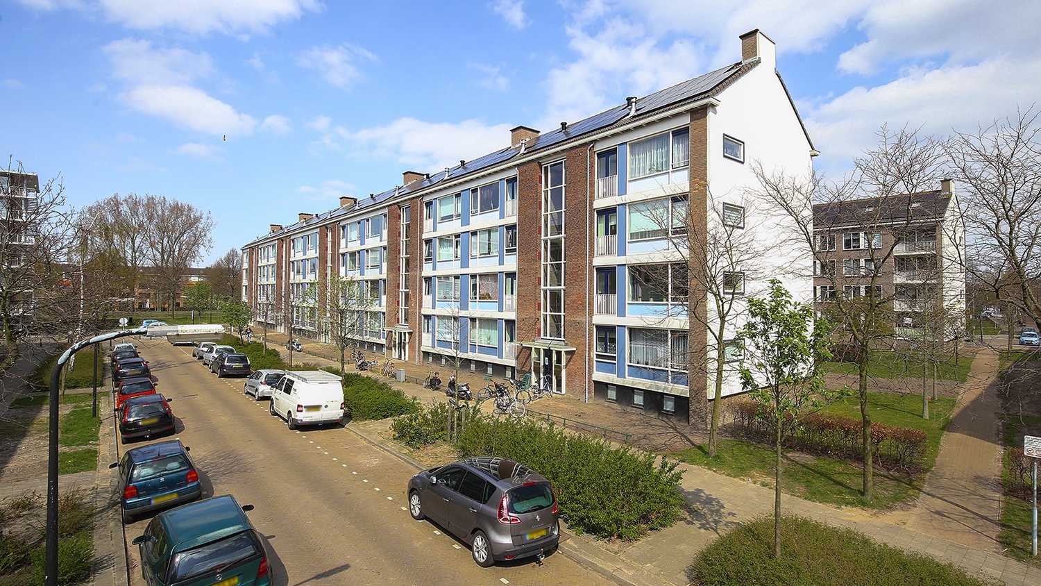
This apartment on Erasmusplein in Moerwijk-West was part of the social housing sector, with a monthly last known rent of €830. The energy label was G, which was the least efficient label, so expect high heating costs. The home was built in 1969 and has a floor area of 5,469 m². The price was in line with the market for [apartments in Den Haag]. This home has not been online since 21 August 2026.
The Moerwijk-West neighbourhood
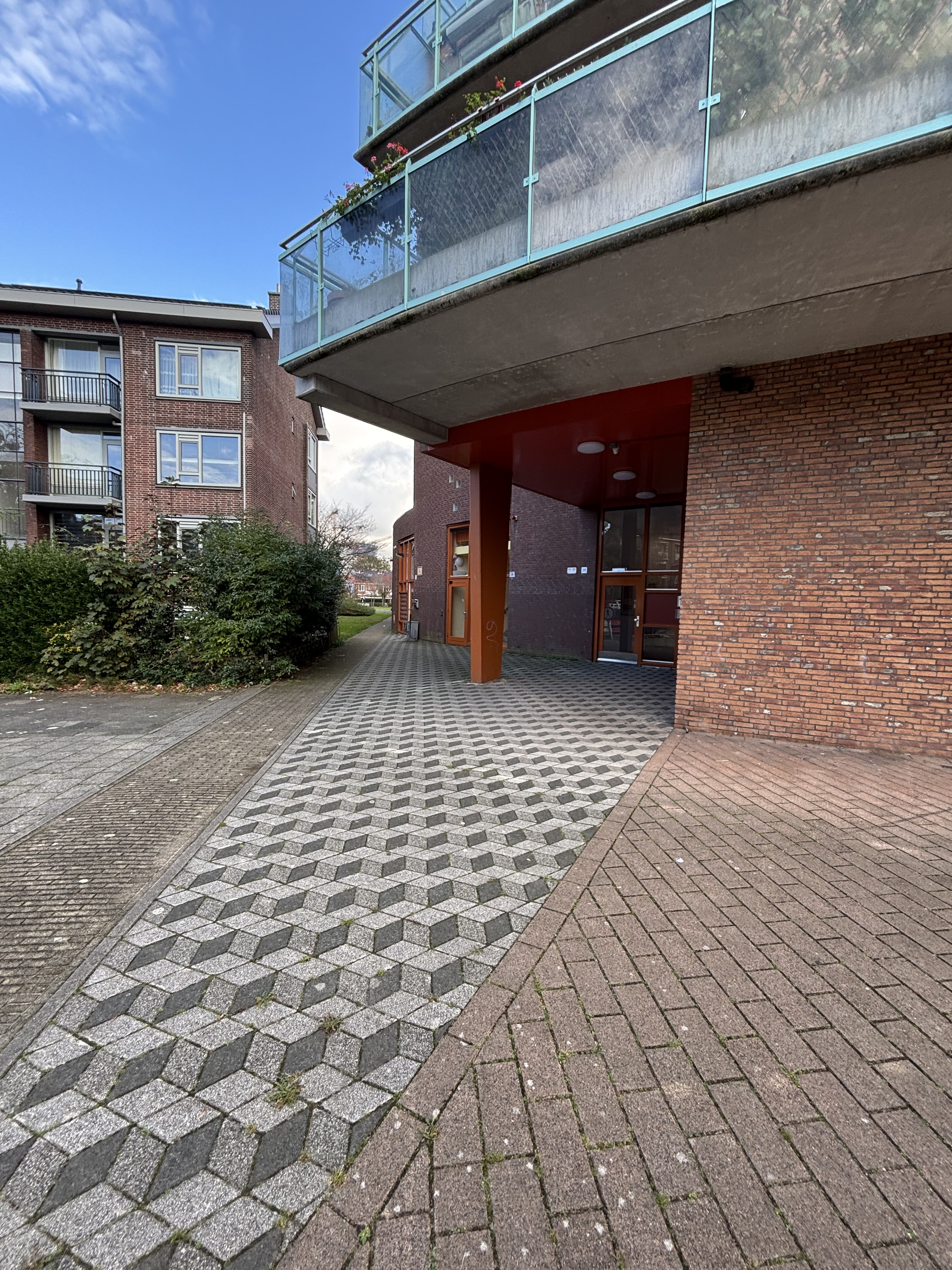
[The Moerwijk-West neighbourhood] is densely populated, with many single-person households and a mix of ages. Residents have shared mixed experiences: one says, "The neighbourhood is quite dirty. Many alcoholics and drug addicts are visible on the street, which is why I wouldn't call it safe, especially after dark." Another describes it as "a ghetto" with "too much aggression" and "poor hygiene." Based on three reviews, the overall score is 5.92 out of 10.
Life on the street
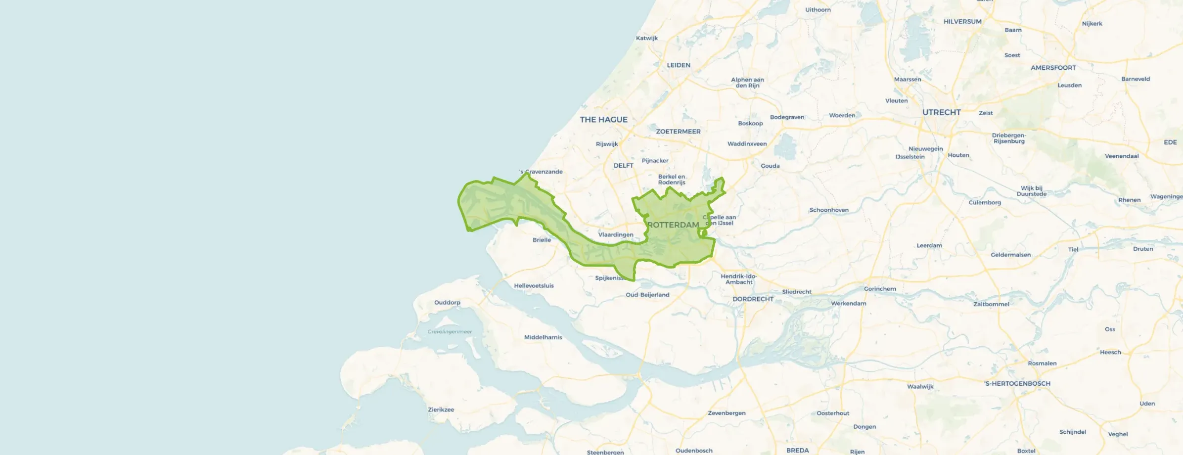
For daily shopping, the PLUS supermarket is just around the corner, and Albert Heijn is a five-minute walk away. Several primary schools are within a ten-minute walk, including WSKO Basisschool De Hofvilla and WSKO St. Jozefbasisschool. The nearest park is on your doorstep, and a GP practice is a couple of streets away. [The municipality of Den Haag] provides the broader context for these amenities.
Source
When this home was still on the market, it was listed only.
This summary was generated with AI and may contain errors. Always verify the details with the provider.
Features
Details of this home
Transfer
Price

Areas and volume
 Insure your home and belongingsGet insured
Construction
The WOZ value is set annually by the municipality with 1 January as its reference date, and therefore lags the market by about a year. It is an estimated market value, not a sale price.
Frequently asked questions
About Erasmusplein 87, 'S-Gravenhage
Was €830 a fair rent for this apartment?
The rent of €830 was in line with the market for apartments in Den Haag. The home has a floor area of 5,469 m², which is unusually large for an apartment.
What does the energy label G mean for my energy bills?
Energy label G is the least efficient label on the scale. This meant the home was likely to have high energy costs, as it indicated a low level of energy efficiency. The label is an official registration, but it does not specify which aspects of the home contribute to the low rating.
How far is the nearest train station?
The nearest train station is 2.2 km away. This distance is not within walking distance for most people, so you would likely need to cycle or take a bus to reach it. The exact travel time depends on the route and mode of transport.
What are the nearest supermarkets?
The nearest supermarket is PLUS, located 438 metres away, which is about a five-minute walk. Albert Heijn is 527 metres away, also within easy walking distance. For a wider selection, there are several other supermarkets within a few kilometres.
Are there primary schools nearby?
Yes, there are several primary schools within a short distance. The nearest is WSKO Basisschool De Hofvilla, about 3.4 km away, followed by WSKO St. Jozefbasisschool at 3.4 km. These are within a reasonable distance for school runs, though not within walking distance for young children.
What is the neighbourhood like according to residents?
Residents have expressed concerns about safety and cleanliness. One resident mentions "constant firecracker noise" and visible drug use, while another describes "too much aggression" and "poor hygiene." The overall review score is 5.92 out of 10, based on three reviews, indicating a mixed experience.