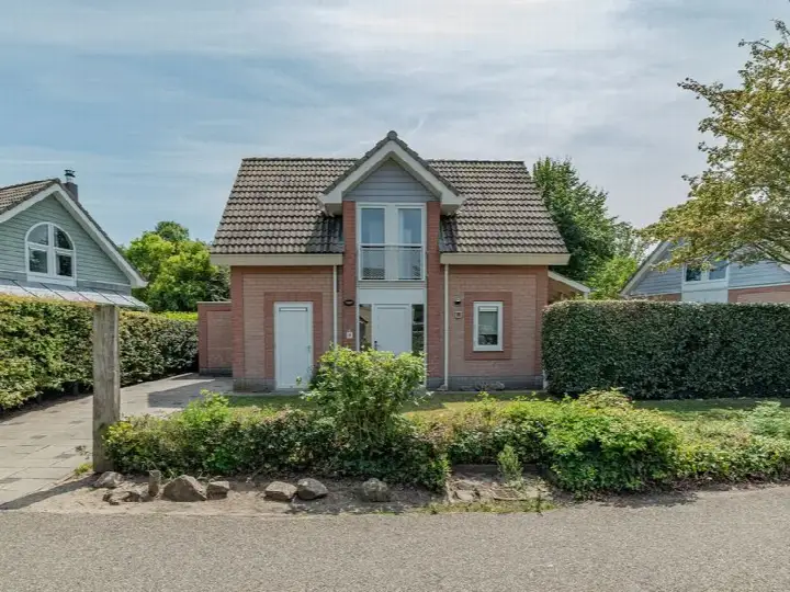
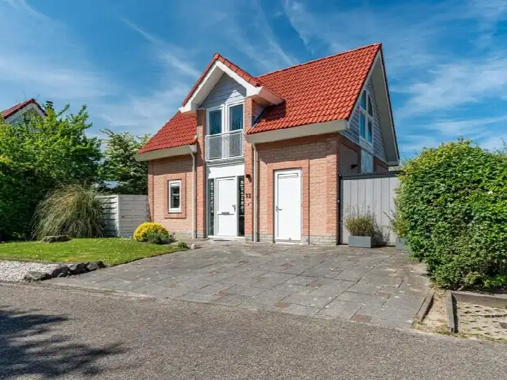
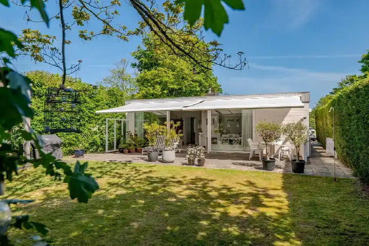
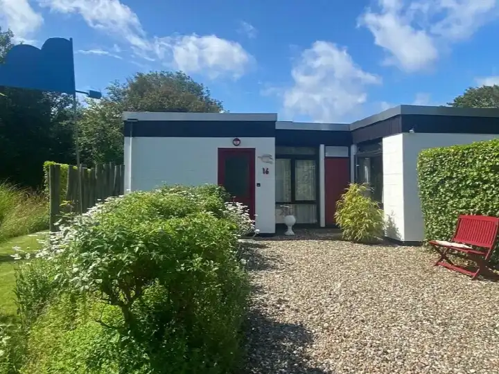
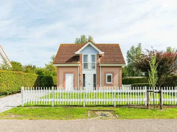
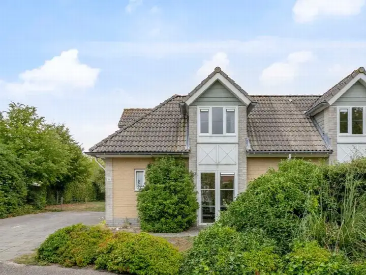
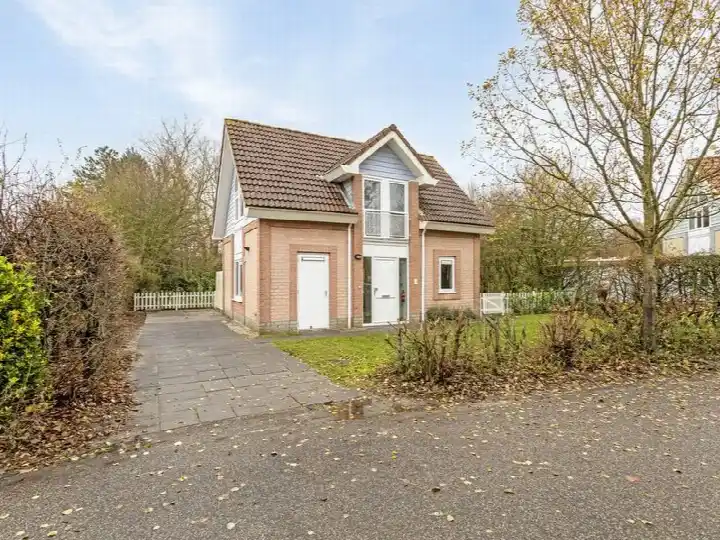
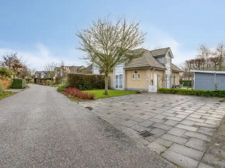
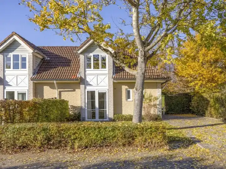
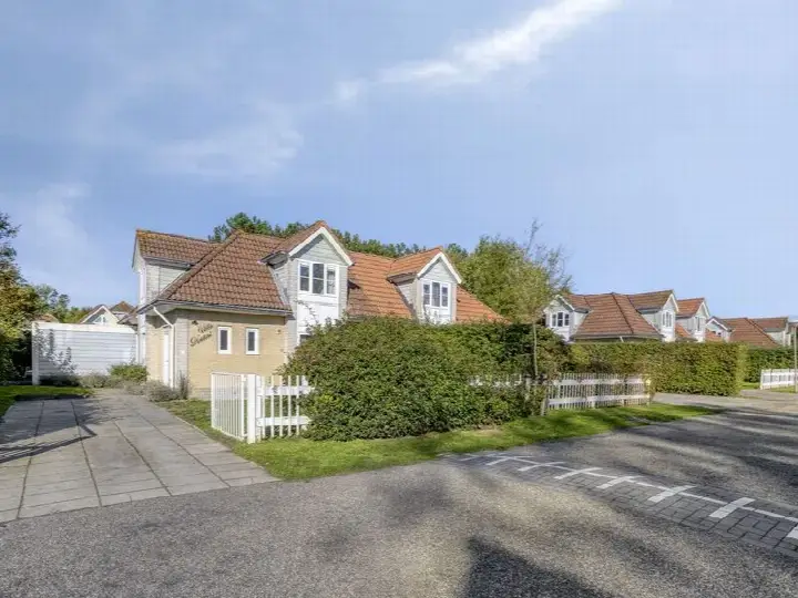
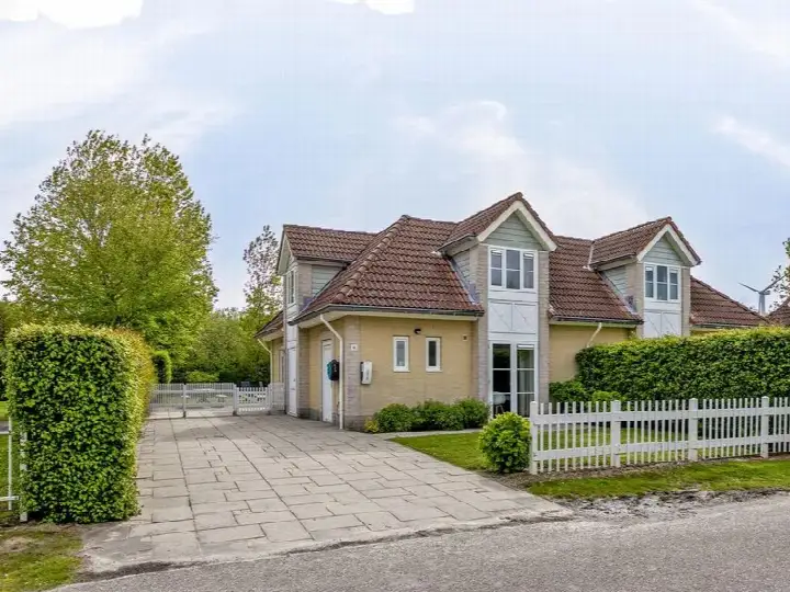
A detached home in the countryside of Kamperland
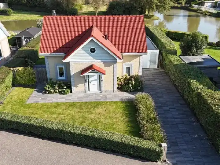
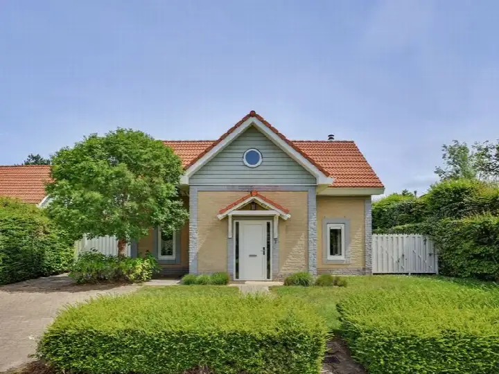
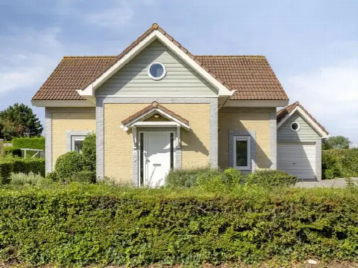
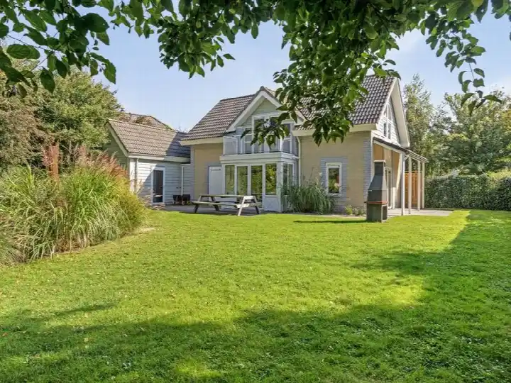
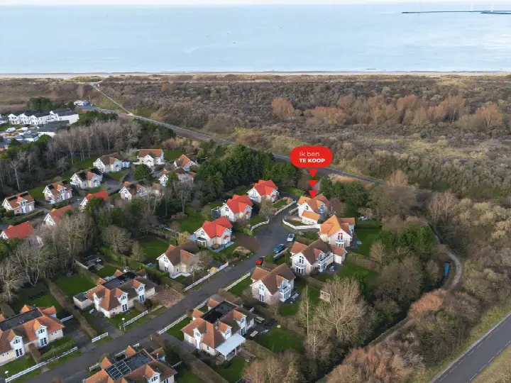
This detached house on Watergang 24 sits in the rural area around Kamperland, a village on the island of Noord-Beveland. The home was built in 1998 and has an energy label C. The asking price of €575,000 is in line with the market, according to the comparison with the average asking price in the neighbourhood. For context, [detached houses in Noord-Beveland]( /koopwoningen/noord-beveland/vrijstaande-woningen/) are the property type on offer here.
The home itself
The listing does not provide details on the layout, number of rooms, or outdoor space. What is known is that the home is a detached house from 1998 with an energy label C. The living area is 143 m² according to the BAG registration, and the plot measures 425 m². The price per square metre, based on the BAG living area, is €4,021.
The Verspreide huizen Kamperland neighbourhood
The neighbourhood is a thinly populated area with 275 residents, according to CBS figures. The population is relatively mature, with 36% of residents aged 45 to 65 and 22% aged 65 or older. Households are mostly couples, with 36% without children and 28% with children. There are no resident reviews available for this area, so there is no direct feedback from people living here. The housing stock consists of 164 homes, of which 76% are owner-occupied. This is [the Verspreide huizen Kamperland neighbourhood]( /buurt/verspreide-huizen-kamperland-noord-beveland/).
Amenities and transport
The nearest bus stop, Kamperland, Tunnel N57(Oostzijde), is on your doorstep, with bus lines 31, 133, 633 and 641. For groceries, the Aldi is a ten-minute walk away, and the Albert Heijn is just around the corner. The nearest primary school, C B S de Kamperschouw, is a ten-minute walk. The GP practice Huisartsenpraktijk Kamperland is a couple of streets away. The nearest train station is Arnemuiden, about 9.8 km away. This is all within [the municipality of Noord-Beveland]( /gemeente/noord-beveland/). The address-level risk data indicates that the noise from road traffic is 56 dB Lden, which is above the noise standard, based on 2022 data. The foundation risk indication is low, though the soil is clay, which is sensitive to settling. The risk of pluvial flooding at heavy rain is low, as is the current flood risk and the flood risk for 2050. These are area-level indications, not an inspection of this specific home.
Source
At the time of writing, the home is offered only via Ruiterplaat Makelaardij. The listing does not include details on the layout, rooms, or outdoor space, so the information above is limited to what is stated.
This summary was generated with AI and may contain errors. Always verify the details with the provider.
Features
Details of this home
Transfer
Price

Areas and volume
Construction
Frequently asked questions
About Watergang 24, Kamperland
What is the asking price for this detached house in Kamperland?
The asking price is €575,000. The price per square metre, based on the BAG living area of 143 m², is €4,021. The price is in line with the market, according to the comparison with the average asking price in the neighbourhood. The plot measures 425 m².
What is the energy label of this home?
The energy label is C. This means the home has a moderate energy efficiency rating. The label does not indicate the structural condition of the home, but it does give an indication of expected energy costs. The home was built in 1998.
What is the WOZ value of this property?
The WOZ value is the municipal valuation, which is used for tax purposes. Without this figure, no comparison with the asking price or historical development can be made. The listing does not provide this information.
What are the noise levels around this address?
The address-level risk data indicates that the noise from road traffic is 56 dB Lden, which is above the noise standard, based on 2022 data. This is an area-level indication, not a measurement at the home itself. The data comes from public sources such as Atlas Leefomgeving.
What is the foundation risk for this home?
The foundation risk indication is low, according to the address-level data. The soil is clay, which is sensitive to settling. This is an area-level indication, not an inspection of this specific home. The data comes from public sources such as KCAF.
What are the flood risks for this area?
The risk of pluvial flooding at heavy rain is low, as is the current flood risk and the flood risk for 2050. These are area-level indications based on public data from the Klimaateffectatlas. They do not constitute an inspection of this specific home.
Which supermarkets are near this home?
The nearest supermarket is the Aldi, about 2.6 km away. The Albert Heijn is about 2.8 km away, and the PLUS is about 4 km away. There are three supermarkets within 5 km of the home. The nearest bus stop is on your doorstep, with bus lines 31, 133, 633 and 641.
What schools are in the area?
The nearest primary school is C B S de Kamperschouw, about 3.1 km away. Other primary schools include Basissch De Goede Polder at 4.2 km and SVS de Magdalon at 4.6 km. There are three schools within 5 km of the home. The nearest secondary school is about 16.7 km away.
Why are there no property details in this listing?
The listing does not state the number of rooms, bedrooms, bathrooms, or any outdoor space such as a garden or garage. It also does not mention insulation, heating, or ownership details. As a result, the description is limited to the property type, year of construction, energy label, and floor areas.
What is the neighbourhood like?
The Verspreide huizen Kamperland neighbourhood has 275 residents, according to CBS figures. The population is relatively mature, with 36% of residents aged 45 to 65 and 22% aged 65 or older. Households are mostly couples, with 36% without children and 28% with children. The housing stock consists of 164 homes, of which 76% are owner-occupied.