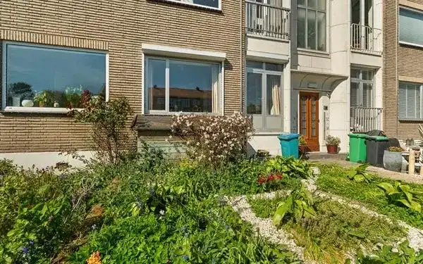
Ranonkelstraat 319
Bloemenbuurt-West, Den Haag
 Area
AreaA 1957 apartment in Bloemenbuurt-West
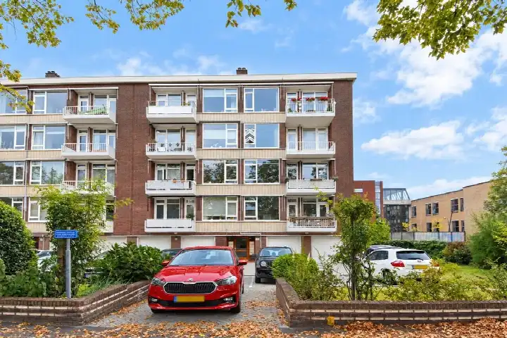
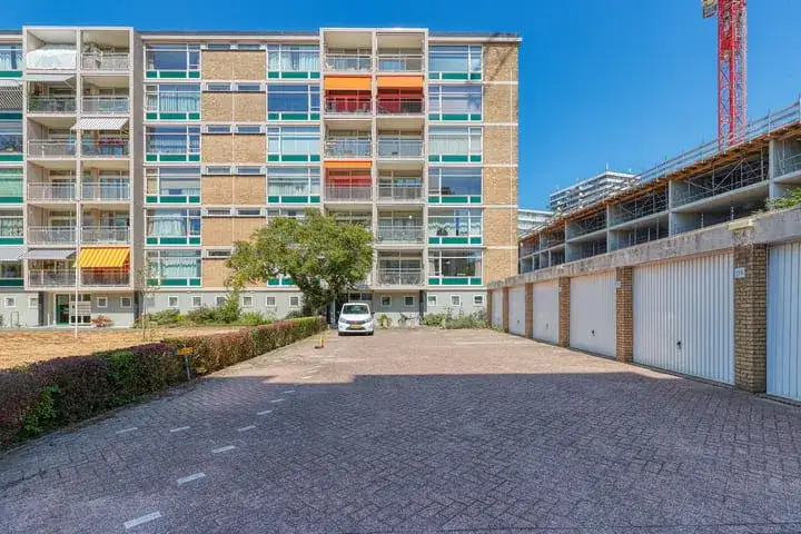
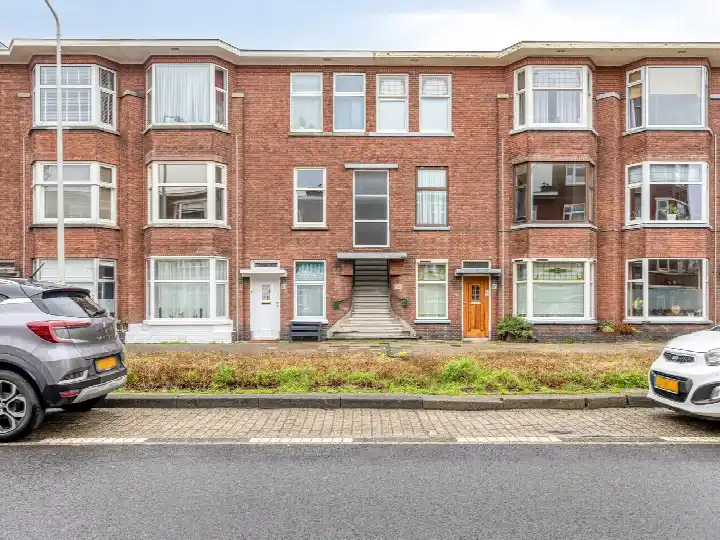
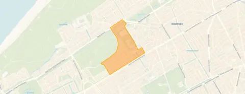
Ranonkelstraat 319 sits in Bloemenbuurt-West, a part of Den Haag with a village-like feel according to residents. The area has a friendly, social character with lots of greenery and attractive architecture. This apartment was built in 1957 and carries energy label D. The asking price of €300,000 works out at €3,226 per square metre based on the BAG registered living area of 93 m². That is on the high side compared with the average of €5,120 per m² for the small amount of [apartments in Den Haag] currently on the market, though the sample is tiny.
The home itself
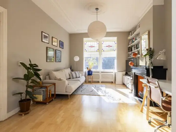
The listing gives no details on the layout, number of rooms, outdoor space or installations. What is known is the construction year, 1957, and the energy label D. The BAG registration records a living area of 93 m². Because the agent has not provided further specifications, the interior arrangement and condition remain unstated.
Life in Bloemenbuurt-West
Residents of the Bomen- en Bloemenbuurt district give their area an average score of 8.47 out of 10, based on eleven reviews. One resident describes it as a beautiful neighbourhood to live, work and grow old in, with a somewhat village-like character, cosy and friendly with a pleasant social character. Another calls it a cosy, pleasant neighbourhood with many amenities and schools, next to a nice shopping street on Fahrenheit. The district is home to around 2,300 people, with a mix of ages and household types. For a closer look at [the Bloemenbuurt-West neighbourhood], the local data paints a picture of a settled community.
Amenities and transport
Daily errands are well covered. The Jumbo supermarket is just around the corner, with an Aldi and two Albert Heijn branches a ten-minute walk away. The nearest primary school, WSKO r-.k basisschool Verburch-hof, is a couple of streets away, and the Akelei Apotheek pharmacy is close by. Bus line 24 stops at Vliegenvangerlaan on your doorstep, with further stops on Kwartellaan and Oude Buizerdlaan nearby. The nearest train station, Den Haag Moerwijk, is about 4.5 km away. [The municipality of Den Haag] offers the wider urban context.
WOZ and address data
No WOZ value is stated for this property, so there is no municipal valuation to compare with the asking price. Public risk data at address level indicates road traffic noise of 50 dB Lden, above the noise standard, while aircraft noise is below the standard. The foundation risk indication is medium, based on the home being built before 1970 and the area being a KCAF attention zone. Pluvial flooding risk is low, as is flood risk now and in 2050, while heat stress is medium. These are area-level indications, not an inspection of this specific home.
Source
At the time of writing the home is offered only via Van Eijk Makelaardij.
This summary was generated with AI and may contain errors. Always verify the details with the provider.
Features
Details of this home
Transfer
Price


Construction
The WOZ value is set annually by the municipality with 1 January as its reference date, and therefore lags the market by about a year. It is an estimated market value, not a sale price.
Frequently asked questions
About Ranonkelstraat 319, 'S-Gravenhage
What does the asking price of €300,000 mean for this apartment?
The asking price is €300,000 for a living area of 93 m² according to the BAG registration, which works out at €3,226 per square metre. The neighbourhood housing market shows one apartment currently available at an average price of €425,000, with an average price per m² of €5,120. The comparison is based on a very small sample, so it gives only a rough indication of how this price sits in the local market.
What is known about the layout of this apartment?
The listing does not state the number of rooms, bedrooms or bathrooms, nor does it mention a garden, balcony or other outdoor space. The BAG registration records a living area of 93 m².
Why are there no property details in this listing?
The listing for Ranonkelstraat 319 does not include information on the layout, number of rooms, outdoor space or installations. Only the construction year of 1957, the energy label D and the BAG registered living area of 93 m² are given.
What does energy label D mean for this home?
Energy label D sits in the middle of the scale, so heating and energy costs are likely to be moderate compared with more efficient homes. The label is a fact about the home's energy performance, not a judgement on its structural condition. The neighbourhood housing market shows that the small amount of available stock in this area carries label B, which is more efficient than this home's label D.
What is the foundation risk for this address?
The foundation risk indication for this address is medium. This is based on the home being built before 1970, specifically in 1957, and the postcode area being a KCAF attention zone where 100% of properties were built before 1970. This is an area-level indication from public risk data, not an inspection of this specific home.
How noisy is the area around Ranonkelstraat 319?
Public risk data indicates road traffic noise of 50 dB Lden, which is above the noise standard, based on the 2022 reference year. Aircraft noise is measured at 18 dB Lden, which is below the noise standard. These are area-level indications from the Atlas Leefomgeving, not measurements taken at this specific property.
What are the flood and heat risks for this location?
The pluvial flooding risk is low, meaning heavy rain is unlikely to cause significant water accumulation. Flood risk is low both now and in 2050. Heat stress is medium now and remains medium in 2050. These are area-level indications from the Klimaateffectatlas, not an assessment of this specific home.
Which supermarkets are near this apartment?
The Jumbo supermarket is just around the corner at about 493 metres. An Aldi is about 1.15 km away, and two Albert Heijn branches are at roughly 1.17 km and 1.18 km. A PLUS supermarket is at about 1.26 km. In total there are 65 supermarkets within 5 km of the address.
What public transport options are available nearby?
Bus line 24 stops at Vliegenvangerlaan, about 127 metres away, with further stops at Kwartellaan and Oude Buizerdlaan nearby. The nearest train station is Den Haag Moerwijk, at about 4.5 km. The bus stops are within easy walking distance, while the train station requires a longer journey.
What do residents say about the district?
Residents of the Bomen- en Bloemenbuurt district give their area an average score of 8.47 out of 10, based on eleven reviews. One resident describes it as a beautiful neighbourhood to live, work and grow old in, with a village-like character, cosy and friendly with a pleasant social character. Another calls it a cosy, pleasant neighbourhood with many amenities and schools, next to a nice shopping street on Fahrenheit.
What is the demographic makeup of Bloemenbuurt-West?
The neighbourhood has around 2,300 residents. The largest age group is 45 to 65 year olds at 30%, followed by those aged 65 and over at 28%. Single-person households make up 39% of households, while 34% are households with children and 27% are households without children. The average household size is 2.1 people.
How does the energy label compare with other homes in the area?
The neighbourhood housing market shows that the one apartment currently available in this area carries energy label B, which is more efficient than this home's label D. The available data is based on a single datapoint, so it gives only a limited picture of the local housing stock. This home's label D means energy costs are likely to be moderate.