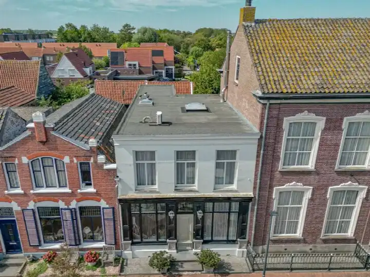
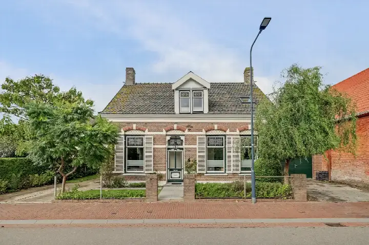
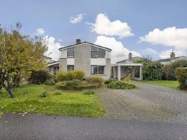
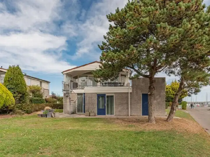
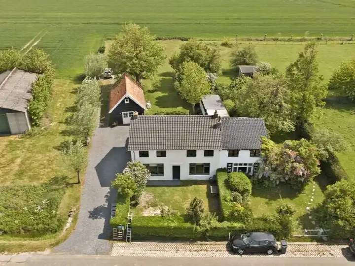
A grand home in the heart of Wissenkerke
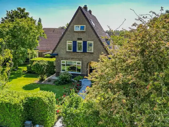
Kerkstraat 12 sits on a quiet road in the centre of Wissenkerke, a village in the municipality of Noord-Beveland. This end-of-terrace house from 1888 is a striking presence, with a living area that the agent lists at 363 m². The asking price of €695,000 sits 102% above the average asking price in the neighbourhood, which comes to €343,727. That puts this home on the high side compared with other end-of-terrace houses in Noord-Beveland.
Inside the house
According to the agent, the home has 11 rooms, including 8 bedrooms and 3 bathrooms, spread over 3 floors. The BAG registration records a living area of 495 m², while the agent lists 363 m². There is a rear garden facing north, accessible via the back, and a detached brick garage. The property is freehold, heated by a central heating boiler, and has a volume of 857 m³. The energy label is B, which is an efficient label.
Life in Wissenkerke
Wissenkerke is a village of about 1,145 residents, where a third of the population is 65 or older. The village has a small, close-knit feel, with a mix of households: 37% are single-person households and 24% are households with children. There are no resident reviews available for this neighbourhood, so the picture here comes from the data. The village itself is quiet, with a low address density that reflects its rural setting. This is a place where the pace of life is gentle, and the surroundings are open and agricultural. For more on the area, see the municipality of Noord-Beveland.
Amenities and transport
The SPAR supermarket is on your doorstep, just 78 metres away, and there are a few other supermarkets within a few kilometres. The nearest primary school, Openbare Basisschool De Vliete, is a five-minute walk. The GP practice is in Kamperland, a short drive away, while the nearest pharmacy is in Middelburg. Bus line 31 stops at Wissenkerke, Voorstraat, just around the corner, and the nearest train station is Arnemuiden, about 10.8 km away.
WOZ and address data
The WOZ value is not stated in the available data, so no comparison with the asking price can be made. The address-level risk data indicates that road traffic noise is above the norm, at 52 dB Lden for the reference year 2022. The foundation risk indication is elevated, based on the 1888 construction on clay soil, with a note that 2% of properties in this postcode area have an elevated risk of pile rot. Pluvial flooding risk is elevated, while flood risk is low now and in 2050. These are area-level indications, not an inspection of this specific home.
Source and agent
At the time of writing, the home is offered via multiple channels, including Ruiterplaat Makelaardij and Funda. The listing has been active since 11 September 2026.
This summary was generated with AI and may contain errors. Always verify the details with the provider.
Features
Details of this home
Transfer
Price

Areas and volume
Construction
Frequently asked questions
About Kerkstraat 12, Wissenkerke
How does the asking price compare with other homes in the neighbourhood?
The asking price of €695,000 is 102% above the average asking price in the neighbourhood, which is €343,727. The average price per m² in the neighbourhood is €2,848, while this home is listed at €1,915 per m² based on the agent's floor area. The home is considerably larger than the neighbourhood average of 121 m², with the agent listing 363 m².
What is the layout of this home?
The agent describes an end-of-terrace house with 11 rooms, including 8 bedrooms and 3 bathrooms, spread over 3 floors. The living area is listed at 363 m² by the agent, while the BAG registration records 495 m². There is a rear garden facing north, accessible via the back, and a detached brick garage. The property is freehold and heated by a central heating boiler.
What is the energy label and what does it mean?
The energy label is B, which is an efficient label. This means the home is relatively efficient in terms of energy use compared with the least efficient labels. The agent does not state specific insulation details in the listing. The energy label is a general indication of the home's energy performance, not a measure of its structural condition.
What is the foundation risk for this address?
The foundation risk indication for this address is elevated, based on area-level data. The home was built in 1888 on clay soil, which may involve wooden piles or a shallow foundation. In this postcode area, 2% of properties have an elevated risk of pile rot, according to the Klimaateffectatlas. This is an area-level indication, not an inspection of this specific home.
What is the noise situation at this address?
The address-level risk data indicates road traffic noise of 52 dB Lden for the reference year 2022, which is above the noise norm. This is an area-level indication based on public data from the Atlas Leefomgeving. It does not reflect a measurement taken at the property itself, but it does suggest that traffic noise may be audible at the address.
What are the flood risks for this property?
The current flood risk is low, and it is expected to remain low in 2050. Pluvial flooding, which occurs during heavy rain, has an elevated risk indication. Heat stress is currently low but is expected to become medium by 2050. These are area-level indications from the Klimaateffectatlas, not an assessment of this specific property.
What supermarkets are nearby?
The SPAR supermarket is just 78 metres away, essentially on your doorstep. There are also an Albert Heijn and an Aldi within about 3.5 km, and another SPAR within about 5 km. This makes daily grocery shopping very convenient, with the nearest option just a short walk from the front door.
What schools are in the area?
The nearest primary school is Openbare Basisschool De Vliete, about 361 metres away, which is a five-minute walk. There is also C B S de Kamperschouw at about 3.3 km. For secondary education, the nearest option is about 16.8 km away, which means a longer commute for older students.
How is the public transport in Wissenkerke?
Bus line 31 stops at Wissenkerke, Voorstraat, just 96 metres from the home, and also at Wissenkerke, Dorpsweg about 269 metres away. The nearest train station is Arnemuiden, at about 10.8 km. The bus service provides a connection to the surrounding area, though the train station requires a longer journey.
What is the neighbourhood like demographically?
Wissenkerke has about 1,145 residents, with a notable share of older residents: 30% are 65 or older, while 13% are under 15. Households are mostly without children (39%) or single-person (37%), with 24% being households with children. The average household size is 2.0, and the village has a low address density, reflecting its rural character.