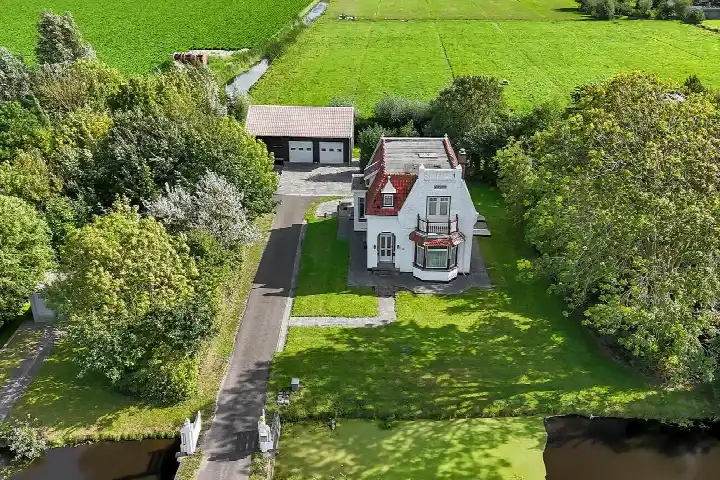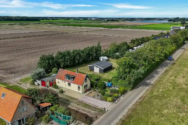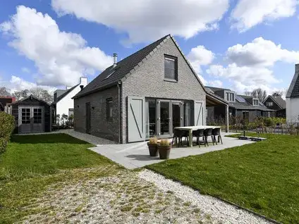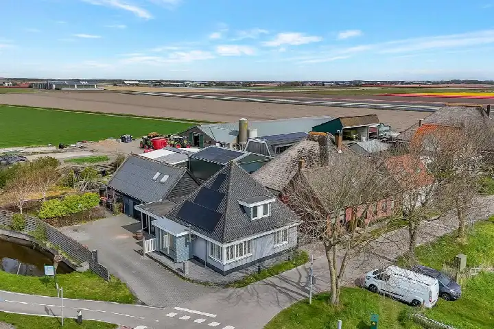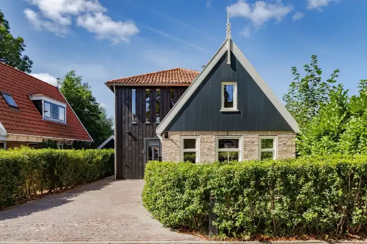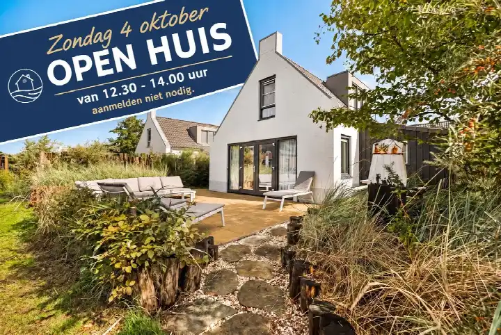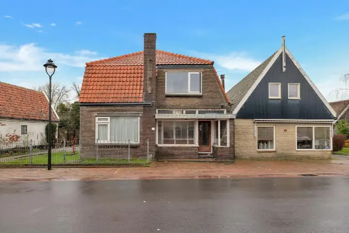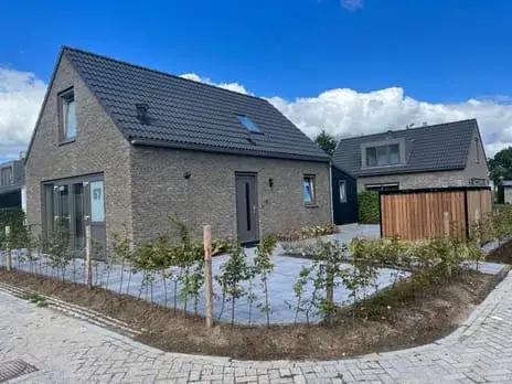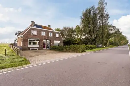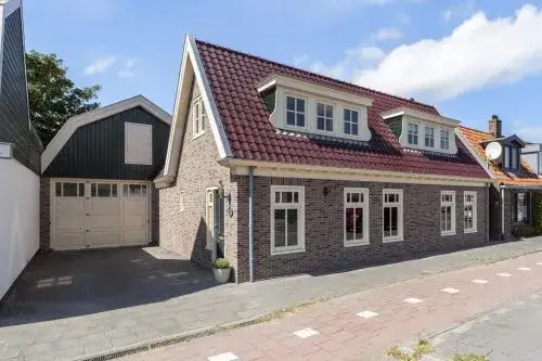
A detached house in the countryside
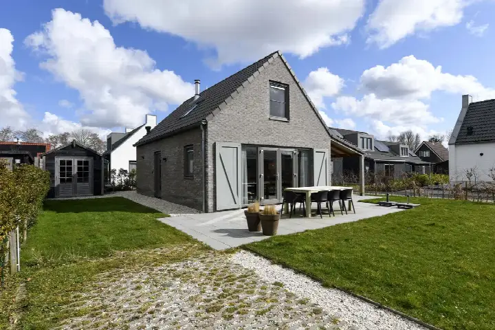
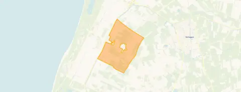
This detached house on Ruigeweg 78B sits in the Buitengebied Sint Maartensbrug, a rural part of Sint Maartensbrug in the municipality of Schagen. The home was built in 1998 and has an energy label B. With a living area of 124 square metres according to the BAG registration, the asking price of €635,000 works out at €5,121 per square metre. That price is on the high side compared with the average asking price in the neighbourhood, which comes to €489,438. For context, [detached houses in Schagen]( /koopwoningen/schagen/vrijstaande-woningen/ ) are listed across a wide range of prices.
The home itself
The listing does not provide details on the layout, outdoor space, or installations. What is known is that the house dates from 1998 and carries an energy label B, which means it is an efficient label. The plot measures 218 square metres according to the BAG registration. The agent does not state the number of rooms, bedrooms, or bathrooms, nor whether there is a garden, balcony, or garage.
Life in the Buitengebied
Residents across the municipality of Schagen give their living environment an average score of 7.3, based on fifteen reviews. One resident highlights the village square with its events, restaurants, and terraces, calling it "the gezelligste dorpsplein van de omgeving" and mentioning the five beach access points with free parking. Another resident, however, describes the area as having "little cohesion" and notes noise and fine dust from traffic, saying it is "not a healthy place to live." The neighbourhood itself has 305 inhabitants, with a mix of ages and household types. [The Buitengebied Sint Maartensbrug neighbourhood]( /buurt/buitengebied-sint-maartensbrug-schagen/ ) is a small, spread-out community.
Amenities and transport
For daily errands, the SPAR supermarket is just around the corner at about 1.6 kilometres, with another SPAR a couple of streets away. The nearest primary school, Openbare Basisschool De Brug, is a ten-minute walk. The GP practice Zijper Huisartsen is a couple of streets away, while the nearest pharmacy is in Schagen, about 6 kilometres off. Bus line 411 stops at St. Maartensvlotbrug, Ruigeweg, within walking distance, and the train station in Schagen is about 5.8 kilometres away. [The municipality of Schagen]( /gemeente/schagen/ ) covers a wide rural area. The address-level risk data from public sources indicates that road traffic noise is above the norm at 53 dB Lden, based on 2022 data. The foundation risk indication is low, with sandy soil, and pluvial flooding at heavy rain is low. The current flood risk is low, but by 2050 it is indicated as medium. These are area-level indications, not an inspection of this specific home.
Source and agent
At the time of writing, the home is offered via multiple channels, including Van de Giesen Makelaars. The listing is available through their website and a dedicated property page.
This summary was generated with AI and may contain errors. Always verify the details with the provider.
Features
Details of this home
Transfer
Price

Areas and volume
Construction
Frequently asked questions
About Ruigeweg 78B, Sint Maartensbrug
What is the asking price for this detached house?
The asking price is €635,000. According to the BAG registration, the living area is 124 square metres, which works out at €5,121 per square metre. The price is on the high side compared with the average asking price in the neighbourhood, which is €489,438. The agent does not state the floor area in the listing, so the price per square metre is based on the BAG figure.
What is the energy label and what does it mean?
The home has an energy label B, which is an efficient label. This means the home is relatively energy-efficient compared with less efficient labels, so you can expect moderate energy costs. The listing does not provide details on insulation or heating installations, so no further conclusions can be drawn about the home's energy performance.
What is the WOZ value of this property?
The WOZ value is the municipal valuation on a reference date, and it is not included in the available data for this home. As a result, no comparison between the asking price and the WOZ value can be made. The historical development of the WOZ value is also not available.
What are the noise levels around this address?
According to public address-level risk data, the road traffic noise at this address is 53 dB Lden, which is above the Dutch noise norm, based on 2022 data. This is an area-level indication, not a measurement inside the home. The listing does not provide any information about the home's sound insulation.
What is the foundation risk for this home?
The foundation risk indication for this address is low, and the soil type is sand. This is based on area-level public data, not an inspection of this specific home. The low risk suggests that foundation issues are less likely, but it does not guarantee the condition of the foundation of this particular house.
What is the flood risk for this property?
The current flood risk at this address is low, and the risk of pluvial flooding at heavy rain is also low. However, the flood risk by 2050 is indicated as medium. These are area-level indications from the Klimaateffectatlas, not a detailed assessment of this home. The listing does not mention any flood protection measures.
Which supermarkets are nearby?
The nearest supermarket is a SPAR at about 1.6 kilometres, which is just around the corner. Another SPAR is at about 2 kilometres, and a Vomar is at about 4.6 kilometres. Within a 5-kilometre radius, there are four supermarkets in total. The nearest large supermarket is about 2.7 kilometres away according to CBS data.
Which schools are within reach?
The nearest primary school is Openbare Basisschool De Brug, at about 1.1 kilometres, which is a ten-minute walk. Other primary schools within 5 kilometres include De Zwerm, Openbare Basisschool 't Zwanenest, and De Wielewaal. The nearest secondary school is about 6.8 kilometres away, according to CBS data. There are ten schools within a 5-kilometre radius.
What public transport options are available?
The nearest bus stop is St. Maartensvlotbrug, Ruigeweg, at about 860 metres, served by bus line 411. Another stop, St. Maartensvlotbrug, Gerrit v. der Slui, is at about 960 metres, also on line 411. The Vlotbrug stop at about 1 kilometre offers lines 251, 411, and 858. The nearest train station is Schagen, about 5.8 kilometres away.
What is the neighbourhood like?
The Buitengebied Sint Maartensbrug is a rural neighbourhood with 305 inhabitants. The average household size is 2.2, and 37% of households are single-person. Residents across the municipality of Schagen give their living environment an average score of 7.3, based on fifteen reviews. One resident praises the village square and beach access, while another mentions noise and fine dust from traffic.
Why are there no property details in this listing?
The listing does not state the number of rooms, bedrooms, bathrooms, or any outdoor space such as a garden, balcony, or garage. It also does not mention installations like insulation or heating. As a result, the description of the home is limited to the property type, year of construction, and energy label.