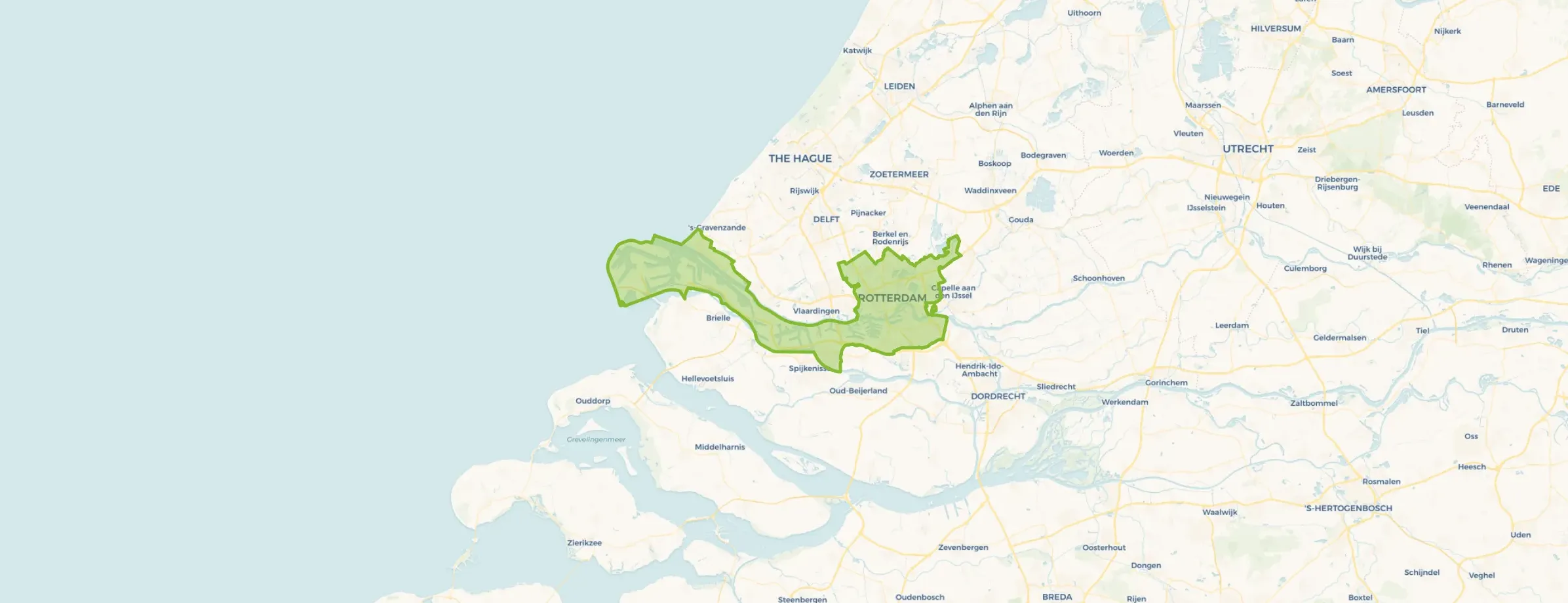
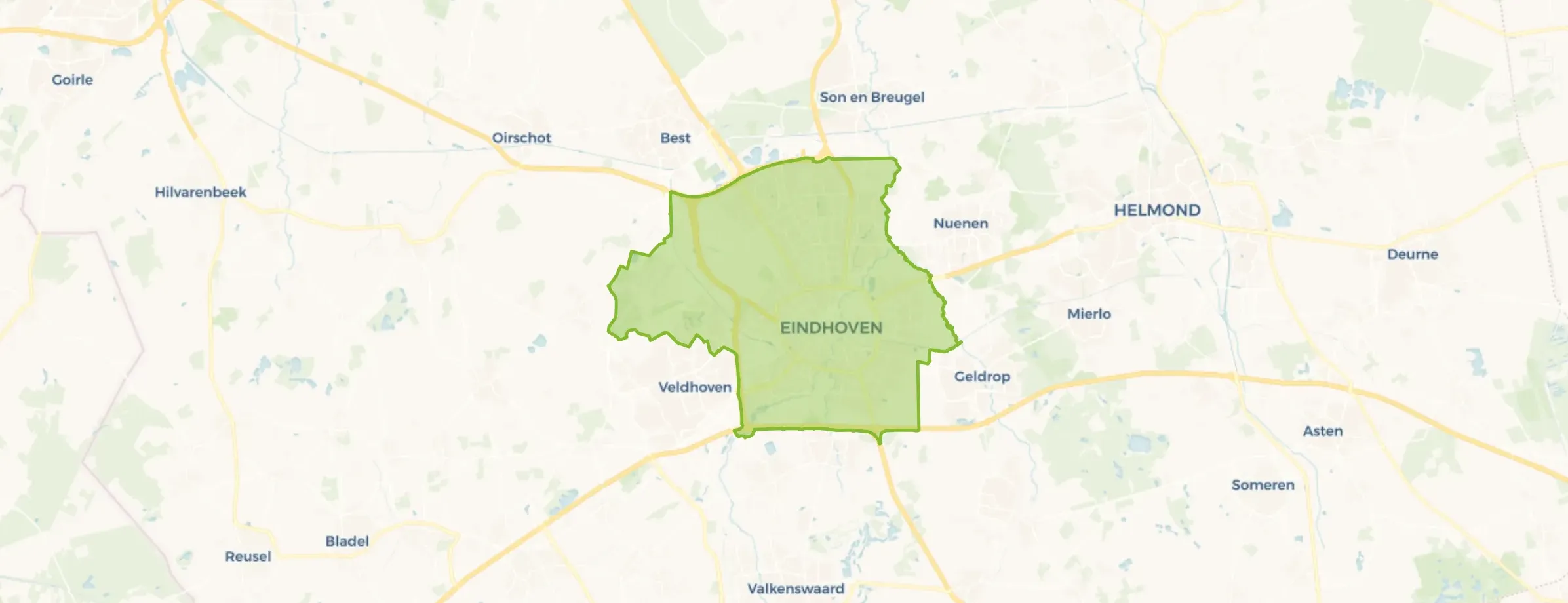
Buitenpas - Noordrand is located in the province of Noord-Brabant, in the municipality of Bernheze, in the district Kern Heesch. The neighbourhood has a total area of 56 hectares, of which 56 hectares are land and 0 hectares are water. The neighbourhood is coded as BU17210110. The postcode area is 5384NA-5384WV.
Buitenpas - Noordrand has 755 residents. Of these, 51,0% are men and 49,0% are women. Most residents are 45 to 65 years (29,1%). The other age groups are 23,8% for '65 years or older', 18,5% for '25 to 45 years', 14,6% for '15 to 25 years' and 13,9% for '0 to 15 years'. Of the residents, 43,7% is unmarried, 46,4% is married, 6,0% is divorced and 4,0% is widowed. 705 residents originate from the Netherlands, 25 come from Europe and 25 come from countries outside Europe.
There are 295 households in Buitenpas - Noordrand. 20,3% of these are single-person households, 37,3% households without children and 42,4% households with children. The average household size is 2,5 persons. The national average is 2,1 persons.
In Buitenpas - Noordrand there are 600 income recipients. The average income per income recipient is €41.300, which is €900 (2%) lower than the national average of €42.200. Per resident, the average income is €34.500, which is €400 (1%) lower than the national average of €34.900. Most residents of Buitenpas - Noordrand are educated to an intermediate level. 41,4% have an intermediate education (HAVO, VWO or MBO 2-4), 31,0% have a lower education (VMBO or MBO 1) and 27,6% have a university or higher professional education (HBO/WO).
Of the 755 residents, around 75% are in paid employment, which amounts to 566 people. This is 3% higher than the national average of 72%. The majority of workers are in salaried employment (84%), while 16% are self-employed. In Buitenpas - Noordrand, 26% of residents receive a benefit. The largest group is those receiving a state pension (AOW). 160 people receive this benefit.
In Buitenpas - Noordrand there are 292 homes with an average assessed value (WOZ) of €596.000. Of these, around 99% are occupied and 1% unoccupied. Most homes are owner-occupied. This amounts to 14% rental homes and 86% owner-occupied homes. Of the homes, 86% privately owned, 11% owned by housing associations and 3% owned by other landlords. The most common construction periods in Buitenpas - Noordrand are 1990-2000 (53%) and 2010-2020 (13%).
There are currently 4 homes for sale in Buitenpas - Noordrand. The most recently listed home is Graafsebaan 22 by Akker Makelaardij op Funda. Over the past year, 9 homes were sold in Buitenpas - Noordrand. On average, a home was sold within 92 days.
The average asking price for a home for sale in Buitenpas - Noordrand over the past year was €677.556. This is 14% higher than the average assessed value (WOZ) of €596.000. The average asking price per m² of floor area is €4.480.
There are currently no homes for rent in Buitenpas - Noordrand. The most recent home is Geerhof 4, offered by www.thuispoort.nl. No homes were let in Buitenpas - Noordrand over the past year.
No recent rental data available for Buitenpas - Noordrand.
In Buitenpas - Noordrand there are 177 addresses with a registered energy label. The most common labels are A (41%), B (25%) and A+++ (15%). On average, an address in Buitenpas - Noordrand uses 3.620 kWh of electricity per year. This is 42% above the national average of 2.550 kWh. Natural gas consumption, at 990 m³ per year, is 24% above the national average of 800 m³.
The housing stock is mainly post-war — 51% was built between 1945 and 1990. In addition, the most common type is detached houses (40%).
Over the past year a home for sale in Buitenpas - Noordrand was listed for an average of €561,457 (€4,033 per m²).
Buurt Buitenpas - Noordrand has 755 residents. Many families: 42% of the households have children.
The housing supply in Buitenpas - Noordrand is remarkably efficient: 69% has an A, A+ or B label. The average natural gas consumption per household is 990 m³ per year.
From Buitenpas - Noordrand you can on average reach a supermarket at 0.5 km, a GP at 1.4 km, a railway station at 3.7 km, a primary school at 0.9 km (as the crow flies, source: CBS).