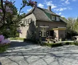
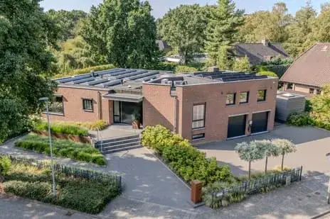
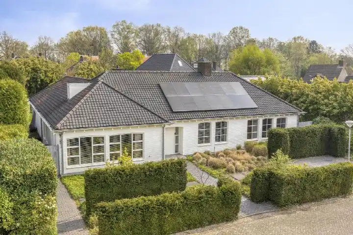
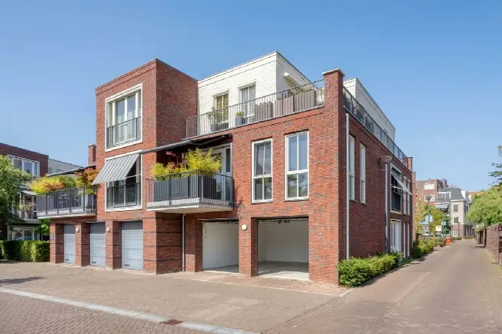
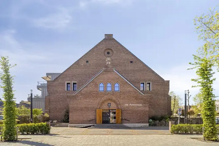
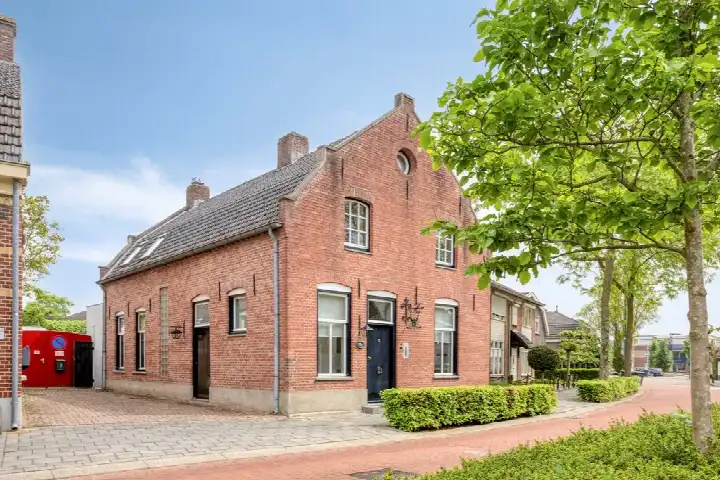
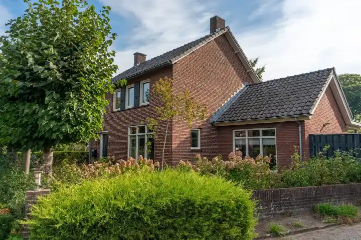
A leafy setting in Dommelen
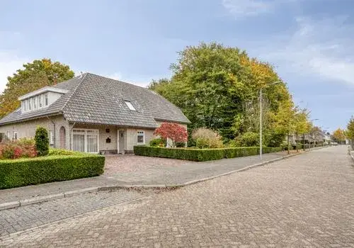
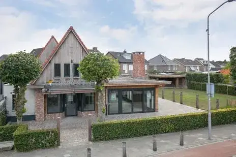
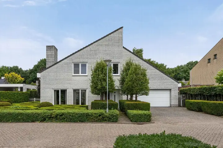
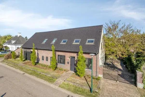
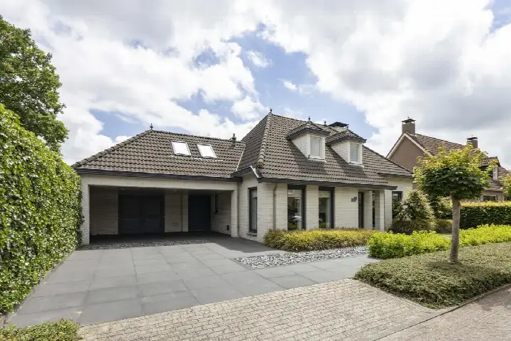
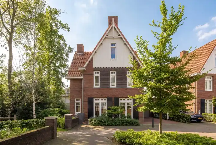
This semi-detached house sits in Brouwershof, a quiet corner of Dommelen within Valkenswaard. The area feels green and spacious, with a nature reserve nearby according to residents. The asking price of €1,150,000 is on the high side compared with the average asking price for semi-detached houses in Valkenswaard.
The home itself
The house dates from 1962 and carries an energy label B, which is an efficient label. The living area is 259 square metres according to the BAG registration, and the plot measures 1,191 square metres. That works out at €4,440 per square metre based on the BAG figure. The listing does not describe the layout or any outdoor space.
Brouwershof
Residents across the municipality of Valkenswaard give their living environment an average score of 8.13, based on three reviews. One resident says: "The neighbourhood is close to the centre, so you're quickly at the market etc. It's a nice neighbourhood, but I do miss something for young people." Another adds: "We live opposite a nature reserve. And that is wonderful." The neighbourhood itself has around 1,700 inhabitants, with a mix of ages and household types. The Brouwershof neighbourhood is part of a wider area where residents value the peace and mutual respect.
Amenities and transport
PLUS supermarket is just around the corner, with Aldi a couple of streets away. Basisschool Agnetendal is on your doorstep, and Basisschool Sint Martinus is just around the corner. The GP practice Sint Martinus is a five-minute walk, and Service Apotheek Dommelen is a ten-minute walk. Bus line 318 stops at Dommelen, Brouwerijplein, a five-minute walk away. The nearest train station is Heeze, about ten kilometres off, within the municipality of Valkenswaard.
WOZ and address data
No WOZ value is stated for this property. The address-level risk data from public sources indicates that noise from road traffic, air traffic and industry stays below the relevant standards. The foundation risk indication is low, and the soil type is sand. Pluvial flooding risk is low, as is the current flood risk and the 2050 flood risk. Heat stress is currently low but is indicated as medium for 2050. These are area-level indications, not an inspection of this specific home.
Source
At the time of writing the home is offered only via Niels de Cort Makelaars & Woonadvies.
This summary was generated with AI and may contain errors. Always verify the details with the provider.
Features
Details of this home
Transfer
Price

Areas and volume
Construction
The WOZ value is set annually by the municipality with 1 January as its reference date, and therefore lags the market by about a year. It is an estimated market value, not a sale price.
Frequently asked questions
About Kerkakkerstraat 25, Valkenswaard
What does the asking price of €1,150,000 mean for this semi-detached house?
The asking price is €1,150,000 for a semi-detached house with a living area of 259 square metres according to the BAG registration. That comes to €4,440 per square metre. The price is on the high side compared with the average asking price for semi-detached houses in Valkenswaard. The plot measures 1,191 square metres, which is generous for a home of this type.
What is known about the layout of this home?
The listing does not describe the layout of the home. It does not state the number of rooms, bedrooms, bathrooms or floors, nor does it mention any garden, balcony or garage. The only property details given are the year of construction, 1962, and the energy label B. The living area is 259 square metres according to the BAG registration.
Why are there no property details in this listing?
The listing does not state the layout, the number of rooms, or any outdoor space such as a garden or garage. As a result, the description of the home itself is limited to the year of construction, the energy label and the floor areas. The agent has not provided further details about the interior or the condition of the property.
What is the energy label and what does it mean?
The home has an energy label B, which is an efficient label. This means the energy costs are likely to be relatively moderate compared with less efficient labels. The label does not say anything about the structural condition of the home. The year of construction is 1962, but no insulation details are stated in the listing.
What do residents say about living in this area?
Residents across the municipality of Valkenswaard give their living environment an average score of 8.13, based on three reviews. One resident says the neighbourhood is close to the centre and nice, but misses something for young people. Another says they live opposite a nature reserve and value the peace and quiet. A third mentions that everyone respects each other and helps where needed.
What are the nearest shops and schools?
PLUS supermarket is about 550 metres away, just around the corner, and Aldi is about 1.2 kilometres off. Basisschool Agnetendal is about 316 metres away, on your doorstep, and Basisschool Sint Martinus is about 471 metres away. There are 15 schools within five kilometres, including several primary schools. The nearest secondary school is about 3.5 kilometres away.
How is the public transport in this area?
Bus line 318 stops at Dommelen, Brouwerijplein, about 350 metres away, and also at Dommelen, Bergstraat, about 451 metres away. Bus line 317 stops at Dommelen, Jorisdal, about 535 metres away. The nearest train station is Heeze, about 10.4 kilometres from the home. The GP practice Sint Martinus is about 458 metres away and the pharmacy is about 810 metres off.
What are the risk indications for this address?
The address-level risk data indicates that noise from road traffic, air traffic and industry stays below the relevant standards. The foundation risk indication is low, with a soil type of sand. Pluvial flooding risk is low, as is the current flood risk and the 2050 flood risk. Heat stress is currently low but is indicated as medium for 2050. These are area-level indications, not an inspection of this specific home.