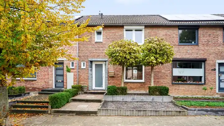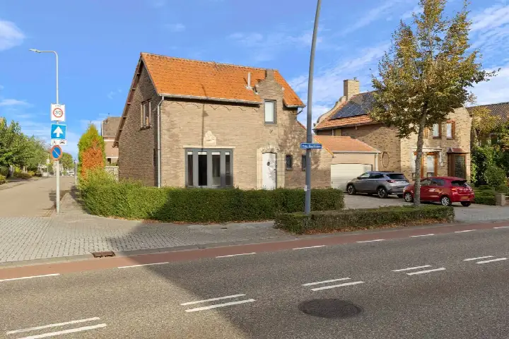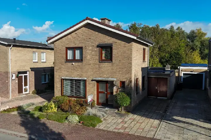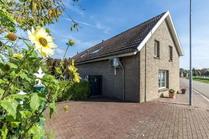





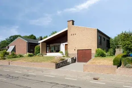
A detached home in Spaubeek
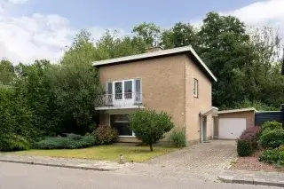
This detached bungalow sits on Dorpstraat 59 in Spaubeek, a village in the municipality of Beek. The home was built in 1969 and has an energy label D. With a last known price of €399,000, the asking price was 3% below the WOZ value, which put it on the sharp side. For comparison, detached houses in Beek were listed at an average of €3,800 per m². This home has not been online since 12 October 2026.
The home itself
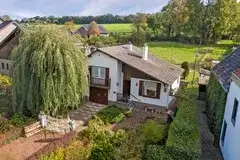
According to the agent, the home had 6 rooms, 3 bedrooms, and 1 bathroom spread over 2 floors. The living area was listed as 105 m² by the agent, while the BAG registration records 173 m². The plot measured 627 m² according to the agent, but the BAG registration stated 535 m². The home has a front, side, and back garden, with a northwest orientation, and an indoor garage. It was fully owned, heated by a central heating boiler, and the agent noted there was no insulation. The property is described as a bungalow, detached, situated on a busy road, in a residential area, and in a rural setting.
The Spaubeek neighbourhood
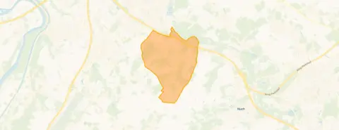
Spaubeek is a village where residents give an average score of 8.38 out of 10, based on three reviews. One resident says: "Helpful and attentive to each other." Another notes: "A real village. Where you can't get in as an outsider. Such a shame." The neighbourhood has about 3,350 inhabitants, and 29% are 65 or older. The village is not urban, with an address density of 433 per km². For more, see the Spaubeek neighbourhood.
Amenities and transport
The SPAR supermarket is just around the corner, and the nearest primary school, KC Eigen Wijs, is a ten-minute walk. The GP practice, Huisartspraktijk Spaubeek, is also a ten-minute walk away. Bus line 54 stops at Spaubeek, Op het Broek, on your doorstep. The nearest train station is Spaubeek, about a ten-minute walk. For more on the area, see the municipality of Beek.
WOZ and address data
The WOZ value was €413,000 as of 1 January 2025, and the asking price was 3% below that. Between 2020 and 2025, the WOZ value rose by 30%, from €317,000 to €413,000. As for address risks, the noise level from road traffic is 54 dB Lden, which is above the norm, while railway and aircraft noise are below the norm. The foundation risk indication is low, and the soil is sand. Pluvial flooding risk is elevated, while flood risk from rivers is low, both now and in 2050. These are area-level indications, not an inspection of this specific home.
Source
When this home was still on the market, it was offered via multiple channels, including Kempen Oberdorf and Kempen Oberdorf on Funda.
This summary was generated with AI and may contain errors. Always verify the details with the provider.
Features
Details of this home
Transfer
Price
Energy
 Save up to € 400 on your energy billCompare now
Areas and volume
 Insure your home and belongingsGet insured
Layout
Construction
Outdoor space
The WOZ value is set annually by the municipality with 1 January as its reference date, and therefore lags the market by about a year. It is an estimated market value, not a sale price.
Frequently asked questions
About Dorpstraat 59, Spaubeek
What was the asking price for this home?
The asking price was €399,000. The price per square metre, based on the agent's listed living area of 105 m², was €3,800. The asking price was 3% below the WOZ value of €413,000, which suggested the price was in line with the market.
How many rooms and bedrooms does this home have?
According to the agent, the home had 6 rooms, 3 bedrooms, and 1 bathroom, spread over 2 floors. The living area was listed as 105 m² by the agent, while the BAG registration records 173 m². The plot measured 627 m² according to the agent, but the BAG registration stated 535 m².
What is the WOZ value of this home?
The WOZ value was €413,000, as of 1 January 2025. The asking price was 3% below this value. Between 2020 and 2025, the WOZ value increased by 30%, from €317,000 to €413,000.
What are the noise levels around this home?
The noise level from road traffic is 54 dB Lden, which is above the norm. Railway noise is 24 dB Lden and aircraft noise is 41 dB Lden, both below the norm. These are area-level indications, not measurements at the property itself.
What is the foundation risk for this home?
The foundation risk indication is low, and the soil type is sand. This is based on area-level data, not an inspection of this specific home. The home was built in 1969, which is before 1970.
What is the flood risk for this home?
The pluvial flooding risk is elevated, meaning there is a higher chance of flooding from heavy rain. The flood risk from rivers is low, both currently and in 2050. These are area-level indications.
What amenities are nearby?
The SPAR supermarket is about 800 metres away, and the nearest primary school, KC Eigen Wijs, is about 830 metres away. The GP practice, Huisartspraktijk Spaubeek, is about 880 metres away. The nearest bus stop, Spaubeek, Op het Broek, is just 76 metres away, served by line 54.
What is the nearest train station?
The nearest train station is Spaubeek, which is about 1.5 kilometres away. This is approximately a ten-minute walk.
What is the neighbourhood like?
Spaubeek is a village with about 3,350 inhabitants. Residents give it an average score of 8.38 out of 10, based on three reviews. One resident says: "Helpful and attentive to each other." Another notes: "A real village. Where you can't get in as an outsider. Such a shame."
What is the energy label of this home?
The energy label is D. This meant the home was not among the most efficient labels, so energy costs might be moderate. The agent noted that there was no insulation.