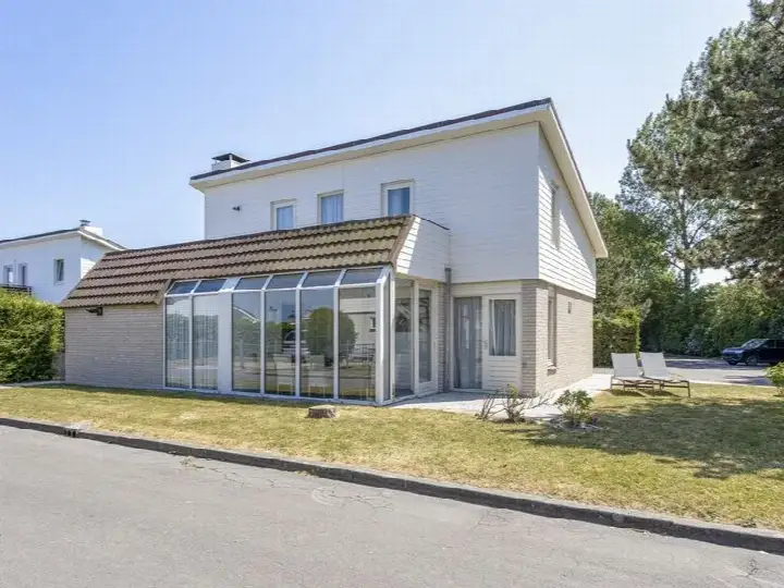
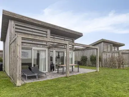
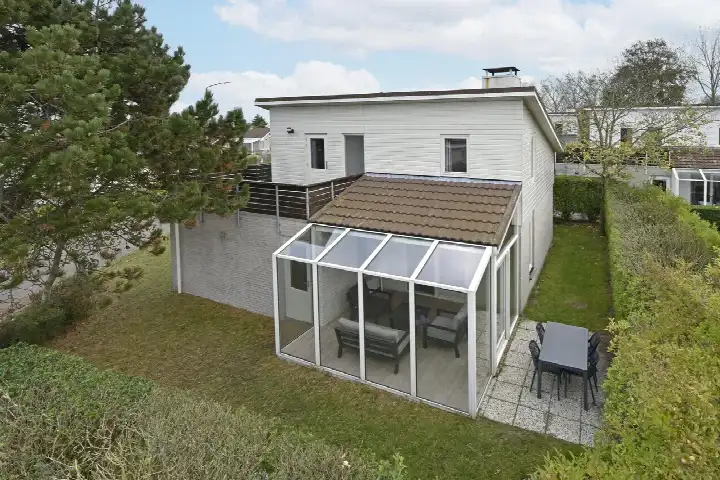
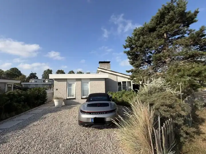
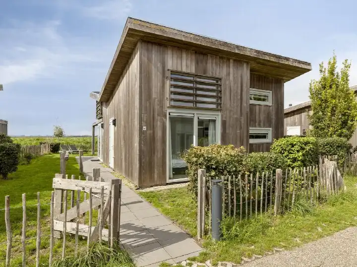
A 1922 detached house in Kamperland
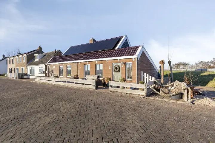
This detached house sits in the Verspreide huizen Kamperland area, a quiet corner of Kamperland on Noord-Beveland. The home dates from 1922 and carries an energy label F, which is the least efficient label, so expect higher energy costs. The asking price is €445,000, which is in line with the market according to the comparison with the neighbourhood average. For context, the price per square metre comes to €5,933 based on the BAG registration. If you are looking at the wider market, you can compare with other detached houses in Noord-Beveland.
The home itself
The listing provides no details on the layout, rooms, or installations, so the specifics of the interior are not stated. What is known is the year of construction, 1922, and the energy label F. The living area is 75 square metres according to the BAG registration, on a plot of 270 square metres. Beyond these facts, the agent has not shared further information about the property.
The Verspreide huizen Kamperland area
The neighbourhood is home to around 275 people, with a mix of ages and household types. About 36% of households are single-person, and 28% have children. The housing stock is mostly owner-occupied, at 76%. There are no resident reviews available for this area, so there is no direct feedback from people living here. The area is part of the Verspreide huizen Kamperland neighbourhood, which sits within the wider municipality.
Amenities and transport
Daily errands require a short drive. The nearest supermarket is Albert Heijn, a couple of streets away, with Aldi and SPAR also within reach. For primary education, C B S de Kamperschouw is just around the corner, and Openbare Basisschool De Vliete is a ten-minute walk. The GP practice, Huisartsenpraktijk Kamperland, is a couple of streets away. Public transport options include bus stops at Kamperland, Molenweg with lines 31 and 641, and Kamperland, Sophiaweg with line 31. The nearest train station is Arnemuiden, about 7.7 kilometres away. This is all within the municipality of Noord-Beveland.
WOZ and address data
The WOZ value is not stated in the available data, so no comparison with the asking price can be made. Regarding address-level risks, the noise from road traffic is measured at 44 dB Lden, which does not exceed the noise standard, based on 2022 data. The foundation risk indication is medium, an area-level indication noting the home was built in 1922 on clay soil, possibly with wooden piles or a shallow foundation. The climate risk for pluvial flooding is low, and the flood risk is low both currently and for 2050. These are indications at area level, not an inspection of this specific home.
Source
At the time of writing the home is offered only via Sinke Komejan Makelaars. The listing is currently available through this single channel. No other agents are involved in the sale of this property.
This summary was generated with AI and may contain errors. Always verify the details with the provider.
Features
Details of this home
Transfer
Price

Areas and volume
Construction
The WOZ value is set annually by the municipality with 1 January as its reference date, and therefore lags the market by about a year. It is an estimated market value, not a sale price.
Frequently asked questions
About Stroodorp 11, Kamperland
What is the asking price for this detached house in Kamperland?
The asking price is €445,000. Based on the BAG registration, the living area is 75 square metres, which works out to €5,933 per square metre. The price verdict indicates the asking price is in line with the market compared to the neighbourhood average. The home dates from 1922 and has an energy label F.
What is known about the layout and features of this home?
The listing does not state any details about the number of rooms, bedrooms, bathrooms, or floors. There is also no information about a garden, garage, insulation, or heating system. The only property facts provided are the year of construction, 1922, the energy label F, and the floor areas from the BAG registration. The interior layout is not described in the listing.
What is the WOZ value of this property?
The WOZ value is not stated in the available data for this property. Without this figure, it is not possible to compare the municipal valuation with the asking price or to see how the value has developed over recent years. The WOZ value is determined by the municipality and is not included in this listing.
What is the foundation risk for this home?
The foundation risk indication for this address is medium, based on area-level data. The home was built in 1922 on clay soil, which may mean wooden piles or a shallow foundation. Additionally, 69% of properties in this postcode area were built before 1970, which is a KCAF attention area. This is an area-level indication, not an inspection of this specific home.
What are the nearest amenities and public transport options?
The nearest supermarket is Albert Heijn at about 2.2 kilometres, with Aldi and SPAR also within a few kilometres. The closest primary school is C B S de Kamperschouw at roughly 2 kilometres. The GP practice, Huisartsenpraktijk Kamperland, is about 2 kilometres away. For public transport, bus stops at Kamperland, Molenweg offer lines 31 and 641, and the nearest train station is Arnemuiden at 7.7 kilometres.
What is the neighbourhood of Verspreide huizen Kamperland like?
The neighbourhood has around 275 residents, with a mix of age groups. About 36% of households are single-person, and 28% are households with children. The housing stock is predominantly owner-occupied at 76%. There are no resident reviews available for this area, so there is no direct feedback from people living here about the daily experience of the neighbourhood.
Why are there no property details in this listing?
The listing does not state the layout, number of rooms, or any installations such as insulation or heating. This means the interior configuration and condition are not described. The available information is limited to the year of construction, the energy label, and the floor areas from the BAG registration.
What is the energy label and what does it mean for costs?
The energy label is F, which is the least efficient label. This means you can expect higher energy costs compared to more efficient homes. The year of construction is 1922.