Vlaas 11
Verspreide huizen Neer, Leudal
 Area
AreaA spacious home in the countryside
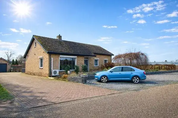
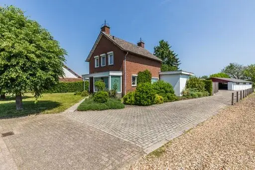
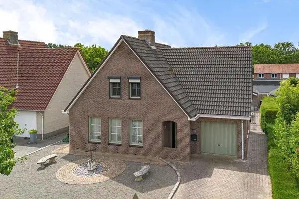
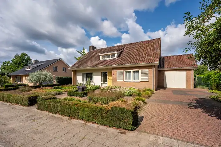
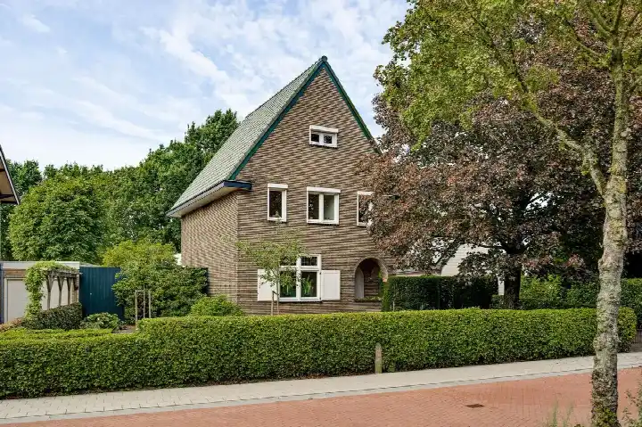
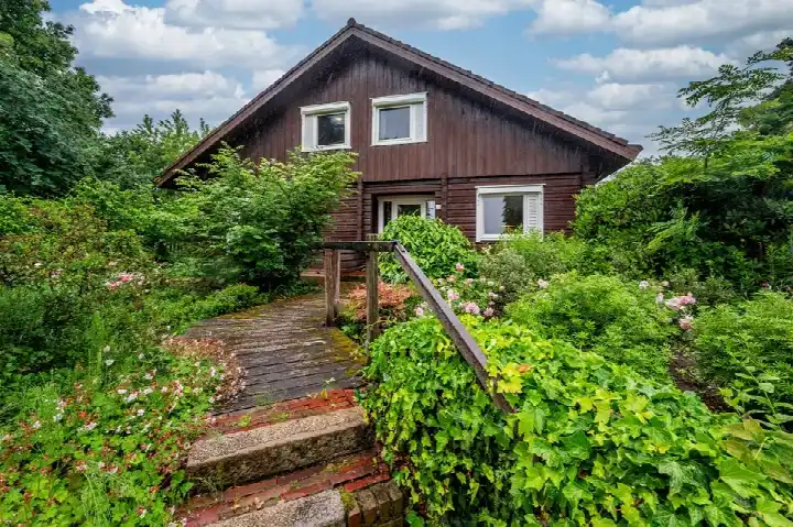
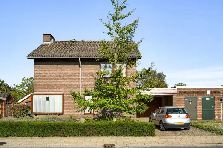
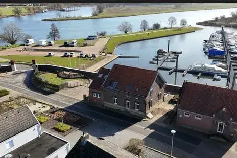
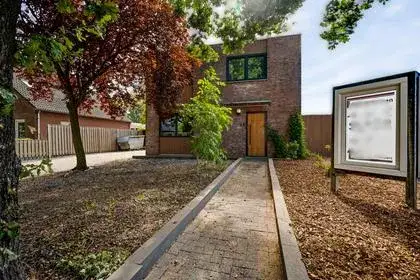
Tucked away in the rural landscape around Neer, this detached house from 1963 sits on a remarkably large plot of 2,805 m². The living area according to the BAG registration is 149 m², which works out at €4,027 per m². The asking price of €600,000 is in line with the market, based on the average asking price for detached houses in Leudal.
The house itself
This listing does not state the energy label. As a result, the energy efficiency of the home cannot be assessed from the listing. The house was built in 1963, and the agent has not published any details about the layout, number of rooms, or installations.
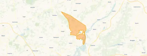
The Verspreide huizen Neer neighbourhood
This is a thinly populated area, with around 745 residents spread across the countryside. The population is relatively mature, with 36% of residents aged between 45 and 65, and 22% aged 65 or over. Across the municipality of Leudal, residents give an average score of 7.83 based on ten reviews. One resident says: "Kern Buggenum is an old neighbourhood, where residents live with respect for each other. Lots of cohesion and willingness to help one another." Another resident notes: "I sometimes find it unsafe in the evening, there are many young people hanging around in the neighbourhood who deal drugs." These reviews describe the wider municipality rather than this specific neighbourhood. For more context, you can read about the Verspreide huizen Neer neighbourhood.
Amenities and daily life
The nearest supermarket, a SPAR, is a ten-minute walk away, with another SPAR and a Jan Linders a bit further. Basisschool De Kwir is also a ten-minute walk, while the GP practice and pharmacy in Neer are both within a couple of streets away. Bus line 77 stops at Neer, Molenweg, a ten-minute walk from the house, and the nearest train station is Swalmen. The hospital, Laurentius Ziekenhuis in Roermond, is further afield. The wider area falls under the municipality of Leudal. According to public risk data at address level, the noise from road traffic is 44 dB Lden, which does not exceed the noise standard. The foundation risk indication is low, based on the sandy soil and the fact the house was built before 1970. The pluvial flooding risk at heavy rain is elevated, while the current flood risk and the flood risk for 2050 are both low. These are area-level indications, not an inspection of this specific home.
Source
At the time of writing the home is offered only via Bouten Makelaardij B.V.
This summary was generated with AI and may contain errors. Always verify the details with the provider.
Features
Details of this home
Transfer
Price
Energy
 Save up to € 400 on your energy billCompare now
Areas and volume
 Insure your home and belongingsGet insured
Layout
Construction
Outdoor space
The WOZ value is set annually by the municipality with 1 January as its reference date, and therefore lags the market by about a year. It is an estimated market value, not a sale price.
Frequently asked questions
About Vlaas 11, Neer
What is the asking price for this detached house in Neer?
The asking price is €600,000. Based on the living area of 149 m² according to the BAG registration, that works out at €4,027 per m². The price is in line with the market compared to the average asking price for detached houses in the municipality of Leudal.
Why are there no property details in this listing?
The agent has not published the energy label for this home. As a result, the energy efficiency cannot be assessed from the listing. The address itself is complete, so the location and neighbourhood data are accurate.
What is the WOZ value of this home?
The WOZ value is the municipal valuation and is not part of the information the agent has published for this property.
What is the foundation risk for this property?
The foundation risk indication is low, according to public risk data at address level. This is based on the sandy soil and the fact the house was built in 1963. This is an area-level indication, not an inspection of this specific home.
What is the flood risk for this property?
The current flood risk is low, and the flood risk for 2050 is also low. The pluvial flooding risk at heavy rain is elevated. These are area-level indications from public risk data, not an assessment of this specific home.
Which supermarkets are closest to this home?
The nearest supermarket is a SPAR at about 1.7 km away. Another SPAR is at about 2.6 km, and a Jan Linders is at about 3.2 km. An Albert Heijn is at about 4 km, and a Jumbo is just over 5 km away.
Which schools are near this home?
Basisschool De Kwir is the nearest primary school, at about 1.6 km away. Basisschool De Zjwiek is at about 3.5 km, and Kindcentrum De Glundering is at about 3.7 km. The nearest secondary school is further away, at about 6.3 km.
What public transport options are available nearby?
Bus line 77 stops at Neer, Molenweg, about 1.6 km from the home, and also at Neer, Maasweg, about 1.6 km away. Bus lines 72 and 672 stop at Roggel, De Leistert, about 2.6 km away. The nearest train station is Swalmen, at about 5.9 km.
How do residents rate living in this area?
Across the municipality of Leudal, residents give an average score of 7.83 based on ten reviews. One resident praises the cohesion and mutual respect in the area, while another mentions feeling unsafe in the evening due to young people hanging around. These reviews describe the wider municipality, not this specific neighbourhood.
How large is the plot of this property?
The plot measures 2,805 m² according to the BAG registration. This is a spacious plot for a detached house, offering plenty of outdoor space around the home.