Rustenburgerlaan 40
Welgelegen, Haarlem
 Area
AreaA classic Haarlem terraced house
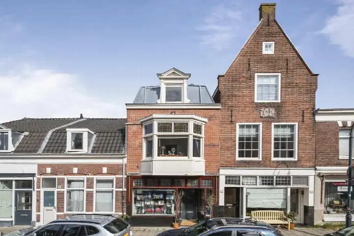
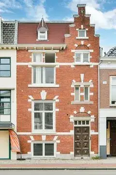
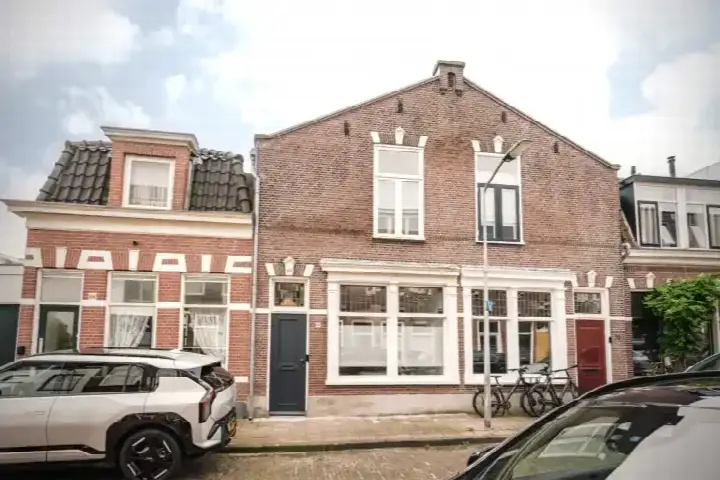
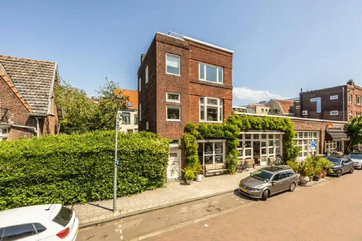
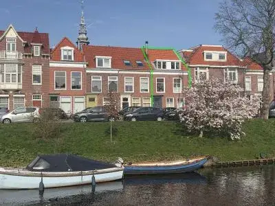
On the Rustenburgerlaan, in the Welgelegen neighbourhood of Haarlem, stands this terraced house from 1928. The home has an energy label A, which is an efficient label. With a living area of 158 square metres according to the BAG registration, the asking price of €850,000 works out at €5,380 per square metre. That price is keen, sitting 28% below the neighbourhood average asking price of €1,181,115. For comparison, [terraced houses in Haarlem]( /koopwoningen/haarlem/tussenwoningen/ ) are listed at an average of €6,878 per square metre.
The home itself
The listing does not provide details on the layout, number of rooms, or outdoor space. What is known is that the house was built in 1928 and carries an energy label A. The plot measures 99 square metres according to the BAG registration. The asking price of €850,000 is keen compared with the neighbourhood average.
Welgelegen
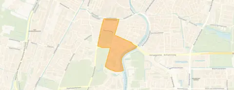
Welgelegen is a district within Haarlem, and residents of the wider district give it an average score of 7.78, based on seven reviews. One resident describes the area as lively but anonymous: "there are many hip young people living here and there are many amenities and infrastructure in the neighbourhood, but it is anonymous because people don't really know each other." Another resident calls it cosy: "My neighbourhood is nice and social. Many beautiful inner gardens. Students, elderly people and families together. View of the Spaarne." The district has 1,890 inhabitants, with 47% living alone. [The Welgelegen neighbourhood]( /buurt/welgelegen-haarlem/ ) is home to a mix of ages, with 28% aged 65 or over.
Amenities and transport
The daily routine is well served here. The Vomar supermarket is on your doorstep, with the Dekamarkt just around the corner and an Ekoplaza a couple of streets away. The Dreefschool primary school is a five-minute walk, and the Oost ter Hout secondary school is a couple of streets further. The GP practice Kraaij en Ensink is a ten-minute walk, while the Boots Apotheek Hildebrand pharmacy is just around the corner. Bus stop Rustenburgerlaan is on your doorstep with lines 3, 80, 255, 346, 356, 680 and N80. Haarlem train station is a ten-minute walk. [The municipality of Haarlem]( /gemeente/haarlem/ ) offers further amenities within easy reach. The address does carry risk indications at area level, not an inspection of this specific home. Road traffic noise is measured at 65 dB Lden, above the noise standard, while railway and aircraft noise stay below their standards. The foundation risk indication is medium, as the home was built before 1970 and 93% of properties in this postcode area date from before that year. Pluvial flooding risk is low, as is flood risk for both now and 2050. Heat stress is indicated as medium for both the current situation and 2050.
Source
At the time of writing the home is offered only via Van Engelen Makelaars.
This summary was generated with AI and may contain errors. Always verify the details with the provider.
Features
Details of this home
Transfer
Price
Energy
 Save up to € 400 on your energy billCompare now
Areas and volume
 Insure your home and belongingsGet insured
Layout
Construction
Outdoor space
The WOZ value is set annually by the municipality with 1 January as its reference date, and therefore lags the market by about a year. It is an estimated market value, not a sale price.
Frequently asked questions
About Rustenburgerlaan 40, Haarlem
What does the asking price of €850,000 mean for this home?
The asking price is €850,000 for a living area of 158 square metres according to the BAG registration, which works out at €5,380 per square metre. The price is keen, sitting 28% below the neighbourhood average asking price of €1,181,115. The average asking price per square metre in the neighbourhood is €6,878.
What is known about the layout of this terraced house?
The listing does not state the number of rooms, bedrooms, or bathrooms, nor does it mention a garden, balcony, or garage. The living area is 158 square metres according to the BAG registration, and the plot measures 99 square metres. The home was built in 1928 and has an energy label A.
Why are there no property details in this listing?
The listing does not state the layout, number of rooms, or outdoor space. As a result, the description of the home itself is limited to the year of construction, the energy label, and the floor areas from the BAG registration. No further details are given in the listing.
What is the energy label and what does it mean?
The home has an energy label A, which is an efficient label. This means the home is likely to have relatively low energy costs compared with less efficient labels. The listing does not provide details on insulation or heating installations.
What do residents say about the district?
Residents of the wider district give it an average score of 7.78, based on seven reviews. One resident describes it as lively but anonymous, with many young people and amenities but little neighbourly contact beyond immediate neighbours. Another resident calls it cosy and social, mentioning beautiful inner gardens, a mix of students, elderly people and families, and a view of the Spaarne.
What are the noise levels around this address?
Road traffic noise at the address is measured at 65 dB Lden, which is above the noise standard. Railway noise is 35 dB Lden and aircraft noise is 41 dB Lden, both below their respective standards. These are area-level indications based on public data, not measurements taken at the property itself.
What is the foundation risk for this home?
The foundation risk indication is medium. This is based on the home being built before 1970, and 93% of properties in this postcode area date from before that year. In the neighbourhood, 4% of properties have an elevated risk of pile rot according to the Klimaateffectatlas. This is an area-level indication, not an inspection of this specific home.
Which supermarkets are nearby?
The Vomar supermarket is on your doorstep at 124 metres. The Dekamarkt is just around the corner at 393 metres, and the Ekoplaza is a couple of streets away at 504 metres. An Albert Heijn is also within walking distance at 522 metres.
What public transport options are available?
The bus stop Haarlem, Rustenburgerlaan is on your doorstep at 48 metres, served by lines 3, 80, 255, 346, 356, 680 and N80. Haarlem train station is 1.7 kilometres away, about a ten-minute walk. Additional bus stops at Kampersingel and Frans Hals Museum are within a few hundred metres.
What schools are close to this home?
The Dreefschool primary school is 430 metres away, about a five-minute walk. The Oost ter Hout secondary school is 519 metres away. The Veronica Jenaplanschool primary school is 651 metres away, and De Talenten primary school is 662 metres away. All are within a ten-minute walk.