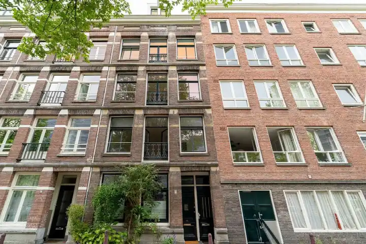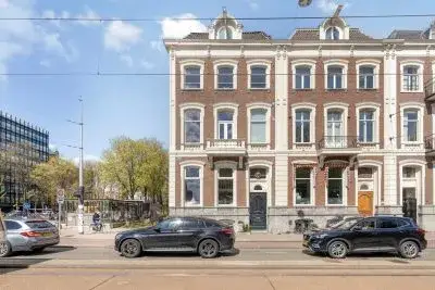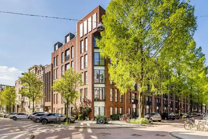





Sarphatistraat 82D
Sarphatistrook · 1018 GS Amsterdam
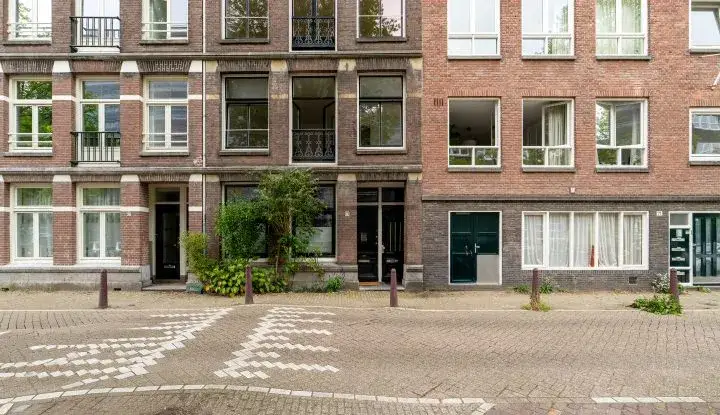
A historic apartment on Sarphatistraat
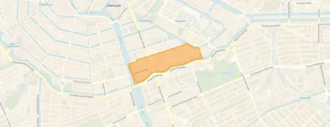
Sarphatistraat 82D sits in the Sarphatistrook, a lively part of Amsterdam where the city's history is written into the facades. This apartment, built in 1776, carries that heritage with an energy label A, which is an efficient label. The last known asking price of €750,000 sat 40% below the neighbourhood average asking price of €1,249,667, which put it on the low side for the area. For context, the median asking price in the Sarphatistrook was also €750,000, and the average price per m² here was €11,038. This home was one of the [apartments in Amsterdam] at the time on the market. This home has not been online since 15 September 2026.
The home itself
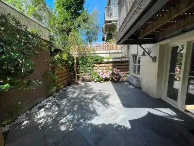
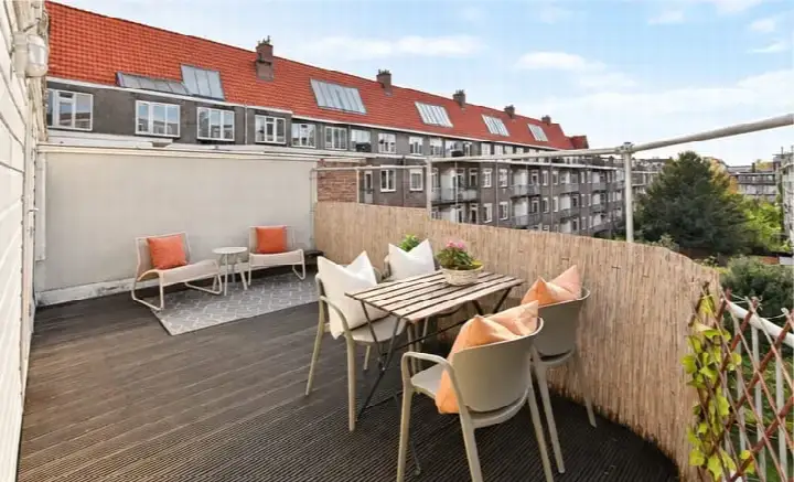
The apartment offers a living area of 88 m² according to the BAG registration, which is 32% smaller than the neighbourhood average of 130 m². At €8,523 per m², the price per square metre reflected the central location. The listing did not provide further details on the layout, number of bedrooms, or any outdoor space, so the full picture of the interior remained to be seen.
Life in the Sarphatistrook
Across the municipality of Amsterdam, residents give their living environment an average score of 7.35, based on 252 reviews. One resident describes a quiet, green area with great trees that offer cooling and relaxation, though they note that hygiene around the waste containers is a persistent issue. Another resident speaks of a neighbourhood in development, with amenities improving and greenery nearby. The Sarphatistrook itself is home to around 1,955 people, with a high proportion of single-person households at 63%. The area is densely populated, with an address density of 8,322 per km², reflecting its very strongly urban character. [The Sarphatistrook neighbourhood] is part of the Weesperbuurt/Plantage district.
Amenities and transport
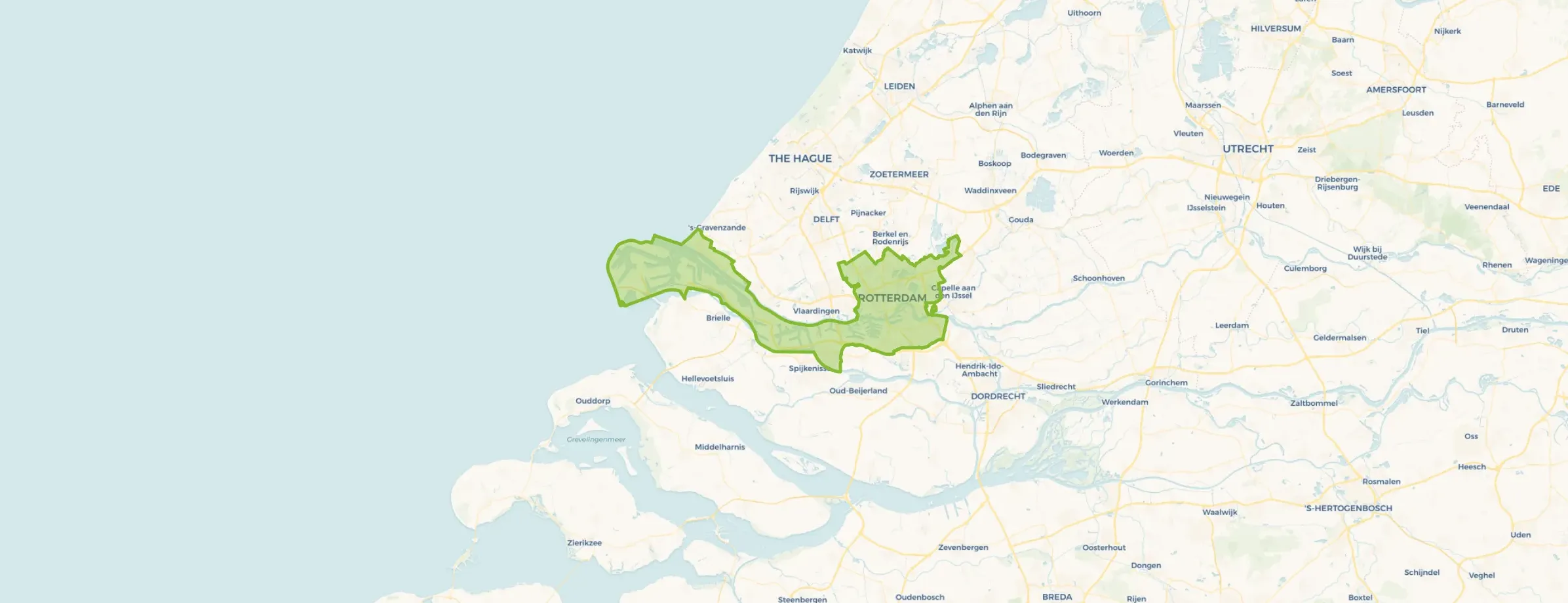
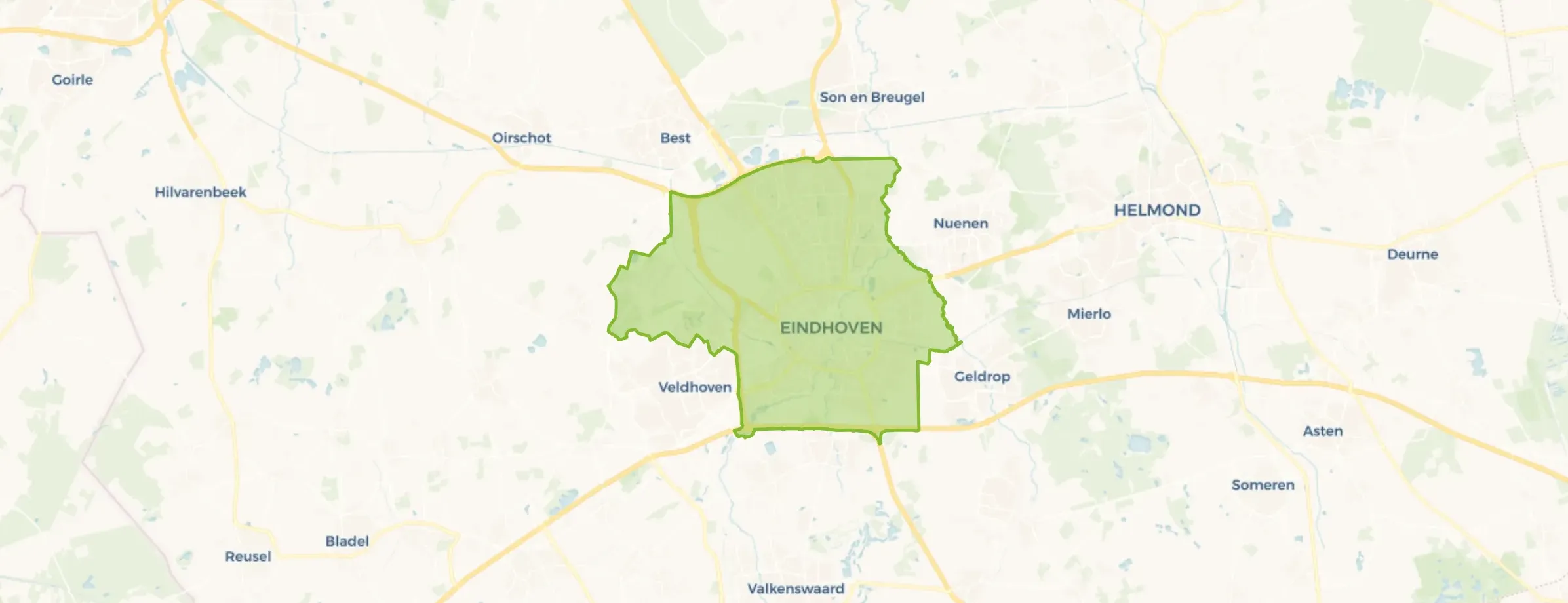
Daily errands are easy from this address. An AH to go is on your doorstep, with a full Albert Heijn just around the corner and a SPAR a couple of streets away. For primary education, OBS Aldoende is a five-minute walk, and the Dr. E. Boekmanschool is just beyond that. The nearest GP, Huisartsenpraktijk Oudemans, is about a ten-minute walk, while the pharmacy and OLVG hospital are both within a short stroll. Tram line 7 stops at Roetersstraat on your doorstep, and Weesperplein metro station, with lines 1, 7, 19, 51, 53, 54 and N85, is just around the corner. Amsterdam Muiderpoort train station is about a ten-minute walk away. [The municipality of Amsterdam] offers all this and more.
WOZ and address data
Public risk data at address level indicates a medium foundation risk, as the building dates from before 1970, and the entire postcode area falls within a KCAF attention zone. These are area-level indications, not an inspection of this specific home. Noise from road traffic is measured at 55 dB Lden, above the standard, while railway and air traffic noise remain below their respective norms. For climate, pluvial flooding risk is medium, current flood risk is low, and heat stress is currently medium, rising to elevated by 2050. These figures come from public sources such as the Atlas Leefomgeving and Klimaateffectatlas.
Source
When this home was still on the market, it was offered only via ME Makelaars B.V.
This summary was generated with AI and may contain errors. Always verify the details with the provider.
Features
Details of this home
Transfer
Price


Construction
The WOZ value is set annually by the municipality with 1 January as its reference date, and therefore lags the market by about a year. It is an estimated market value, not a sale price.
Frequently asked questions
About Sarphatistraat 82D, Amsterdam
How did the asking price compare to other homes in the Sarphatistrook?
The asking price of €750,000 was 40% below the neighbourhood average asking price of €1,249,667. The median asking price in the Sarphatistrook was also €750,000, so this home sat at the middle of the market. The average price per m² in the neighbourhood was €11,038, while this apartment was listed at €8,523 per m² based on the BAG living area of 88 m².
What is known about the layout of this apartment?
The listing stated a living area of 88 m² according to the BAG registration, which was 32% smaller than the neighbourhood average of 130 m². The agent did not provide details on the number of bedrooms, bathrooms, or the layout of the rooms. The year of construction is 1776, and the home has an energy label A, which is an efficient label.
What is the energy label and what does it mean?
The home has an energy label A, which is an efficient label. This meant the home was likely to have relatively low energy costs compared to less efficient labels. The label was a fact about the home's energy performance, and no further details about insulation or heating installations were stated in the listing.
What are the noise levels around this address?
Public data indicates road traffic noise at 55 dB Lden, which is above the noise standard. Railway noise is measured at 40 dB Lden and air traffic noise at 44 dB Lden, both below their respective standards. These are area-level indications from public sources, not measurements taken at this specific home.
What is the foundation risk for this property?
The foundation risk indication is medium. This is because the building was constructed before 1970, specifically in 1776, and the entire postcode area falls within a KCAF attention zone where 100% of properties were built before 1970. This is an area-level indication based on public data, not an inspection of this particular home.
What are the climate-related risks for this area?
Public climate data indicates a medium risk of pluvial flooding during heavy rain, while the current flood risk is low and remains low for 2050. Heat stress is currently medium and is expected to become elevated by 2050. These are area-level indications from the Klimaateffectatlas, not specific to this home.
Which supermarkets are closest to this apartment?
An AH to go is at 120 metres, essentially on your doorstep, and a full Albert Heijn is at 145 metres, just around the corner. A SPAR is at 267 metres, a couple of streets away. Within a five-minute walk there are several more options, including another SPAR at 451 metres and an Albert Heijn at 527 metres.
What schools are near Sarphatistraat 82D?
OBS Aldoende, a primary school with 379 pupils, is at 274 metres, about a five-minute walk. The Dr. E. Boekmanschool, another primary school, is at 289 metres. For secondary education, the Metis Montessori Lyceum is at 541 metres, and Kiem Montessori is at 632 metres. The nearest childcare centre is at 500 metres.
How is the public transport connection from this address?
Tram line 7 stops at Roetersstraat, just 124 metres away. Weesperplein metro station is at 149 metres and serves lines 1, 7, 19, 51, 53, 54 and N85, combining bus, metro and tram. Another tram stop, Korte 's-Gravesandestr, is at 322 metres with lines 1, 4, 7, 19 and 25. Amsterdam Muiderpoort train station is at 1.4 km.
What do residents say about living in this area?
Across the municipality of Amsterdam, residents give an average score of 7.35 based on 252 reviews. One resident describes a quiet, green area with great trees providing cooling and relaxation, though they mention hygiene issues around waste containers. Another resident speaks of a neighbourhood in development with improving amenities. These reviews describe the wider municipality, not specifically the Sarphatistrook.
What is the demographic makeup of the Sarphatistrook?
The Sarphatistrook has around 1,955 residents. Single-person households make up 63% of all households, and the average household size is 1.5 people. The largest age group is 25 to 45 years old at 40%, followed by 45 to 65 at 22%. About 28% of homes are owner-occupied, and the area is very strongly urban with an address density of 8,322 per km².