Kerkstraat 7
Beukenlaan en omgeving, Bergeijk
 Area
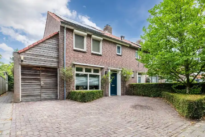
AreaA friendly end-of-terrace home in Westerhoven
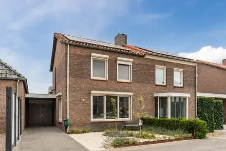
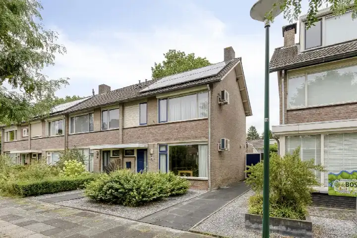
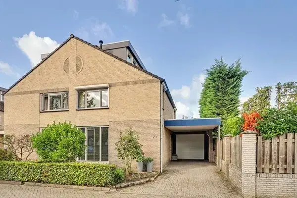
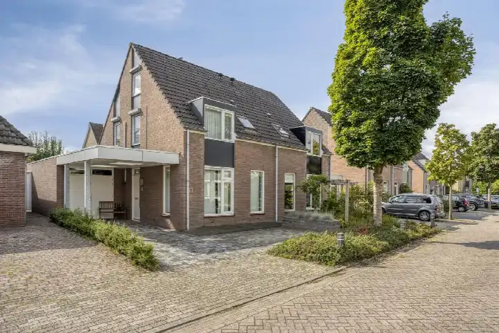
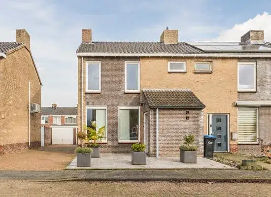
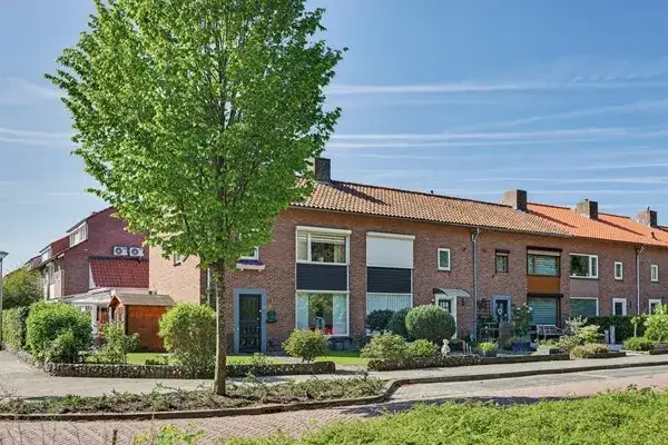
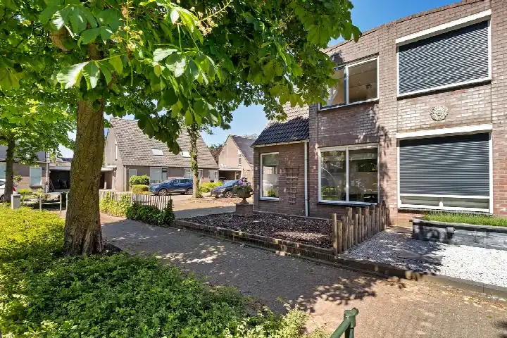
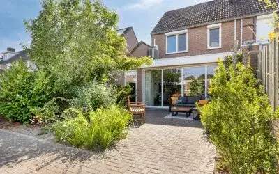
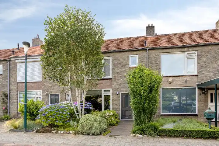
Tucked away on Kerkstraat in Westerhoven, this end-of-terrace house from 1969 sits in a quiet residential setting. The home has a label C energy rating, which means energy costs will be moderate. With an asking price of €419,000, the price is in line with the market when compared to the neighbourhood average. For context, [end-of-terrace houses in Bergeijk]( /koopwoningen/bergeijk/hoekwoningen/) typically sell within a certain range.
Inside the home
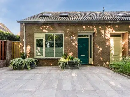
Step inside and you will find six rooms spread over two floors, including three bedrooms and one bathroom. The living area measures 108 m² according to the BAG registration, while the agent lists it as 95 m². The plot is 155 m² per the BAG registration, but the agent states 184 m². The home comes with a front garden and a rear garden of 56 m², accessible from the back. It is fully owned, has a central heating boiler, and the agent notes insulation in the roof, walls, floor, and double glazing throughout.
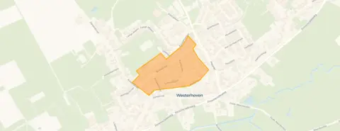
The Beukenlaan e.o. neighbourhood
This part of Westerhoven is home to around 330 residents, and the community here is close-knit. A resident of the municipality of Bergeijk gives the area a 9.13 out of 10, saying: "Very nice and cosy neighbourhood, if something is going on in the neighbourhood we help each other." That is based on a single review, so it is one person's perspective. The neighbourhood itself has a mix of households, with about a third having children. [The Beukenlaan e.o. neighbourhood]( /buurt/beukenlaan-en-omgeving-bergeijk/) is part of a wider area where most homes were built between 1945 and 1970.
Daily life and getting around
For everyday errands, Basisschool de Ster is just around the corner, and the GP practice Huisartspraktijk Schoone/Medisch Centrum Westerhoven is a couple of streets away. The nearest supermarket, Lidl, is about a ten-minute walk, with Jumbo and Albert Heijn a bit further. Bus stops on Heuvel and Provincialeweg are close by, served by lines 18 and 318. The nearest train station is in Heeze, about 13 kilometres away. [The municipality of Bergeijk]( /gemeente/bergeijk/) offers further amenities within reach.
WOZ and address data
No WOZ value is available for this property. According to public address-level risk data, the noise from road traffic is 45 dB Lden and from air traffic 33 dB Lden, both below the relevant standards. The foundation risk indication is low, based on the home being built before 1970 on sandy soil. For climate risks, pluvial flooding at heavy rain is elevated, while current flood risk and heat stress are low, though heat stress is expected to become medium by 2050. These are area-level indications, not an inspection of this specific home.
Source
At the time of writing, the home is offered via multiple channels, including Hennie Kunnen Makelaardij and Hennie Kunnen Makelaardij on Funda.
This summary was generated with AI and may contain errors. Always verify the details with the provider.
Features
Details of this home
Transfer
Price
Energy
 Save up to € 400 on your energy billCompare now
Areas and volume
 Insure your home and belongingsGet insured
Layout
Construction
Outdoor space
Frequently asked questions
About Kerkstraat 7, Westerhoven
How does the asking price compare to other homes in the neighbourhood?
The asking price of €419,000 is in line with the market when compared to the neighbourhood average asking price of €466,333. The average asking price per square metre in the neighbourhood is €4,061, while this home is listed at €4,411 per square metre based on the agent's floor area. Three homes are currently available in the neighbourhood, with prices ranging from €425,000 to €515,000.
What is the layout of this end-of-terrace house?
The home has six rooms across two floors, including three bedrooms and one bathroom. The living area is 108 m² according to the BAG registration, while the agent lists it as 95 m². The plot measures 155 m² per the BAG registration and 184 m² according to the agent. There is a front garden and a rear garden of 56 m², accessible from the back.
What is the energy label and what does it mean for costs?
The home has an energy label C. This is a mid-range label, so you can expect reasonable but not minimal energy costs. The agent notes that the home has roof insulation, double glazing, wall insulation and floor insulation, along with a central heating boiler. These features may help keep energy usage in check, though the label itself indicates the overall energy performance.
What are the noise levels around this address?
According to public address-level data, the noise from road traffic is 45 dB Lden and from air traffic is 33 dB Lden, both for the reference year 2022. Both figures are below the relevant noise standards. These are area-level indications based on public data, not measurements taken at this specific property.
What is the foundation risk for this home?
The foundation risk indication for this address is low. This is based on the home being built before 1970 and the soil type being sand. This is an area-level indication from public data, not an inspection of this specific property. The home was built in 1969, which is a fact about its construction year rather than a statement about its current condition.
What are the flood and climate risks at this address?
Public climate data indicates that pluvial flooding at heavy rain is elevated for this address. Current flood risk is low, and the risk for 2050 is also low. Heat stress is currently low but is expected to become medium by 2050. These are area-level indications from the Klimaateffectatlas, not an assessment of this specific home.
Which schools are near this home?
Basisschool de Ster is just around the corner at about 200 metres away, with 146 pupils. Other primary schools within a few kilometres include Basisschool St. Willibrordus at about 2.5 kilometres, Basisschool Prinses Beatrix at 2.8 kilometres, and Basisschool Sint Martinus at 3.2 kilometres. There are 14 schools within a 5-kilometre radius in total.
What public transport options are available nearby?
The nearest bus stop is Westerhoven, Heuvel, about 200 metres away, served by line 18. Westerhoven, Provincialeweg is about 300 metres away with line 318, and Westerhoven, Dorpstraat is about 500 metres away with lines 18 and 318. The nearest train station is Heeze, approximately 13 kilometres from the home.
What do residents say about living in this area?
One resident of the municipality of Bergeijk gave the area a score of 9.13 out of 10, describing it as a "Very nice and cosy neighbourhood, if something is going on in the neighbourhood we help each other." This is based on a single review, so it represents one person's experience rather than a broad consensus. The review relates to the wider municipality, not specifically to this neighbourhood.
What is the neighbourhood like in terms of demographics?
The neighbourhood has around 330 residents, with an average household size of 2.1 people. About 39% of households are single-person households, while 32% are households with children and 29% are households without children. The age spread shows 32% of residents are between 25 and 45, 26% between 45 and 65, and 21% are 65 or older. The area is not urban, with an address density of 264 per square kilometre.