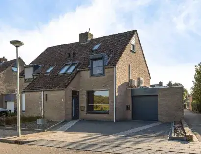
A centuries-old home at the edge of the woods
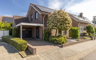
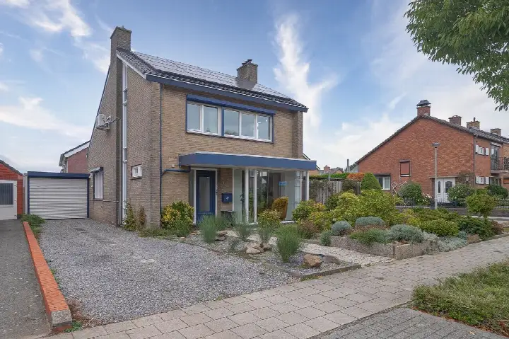
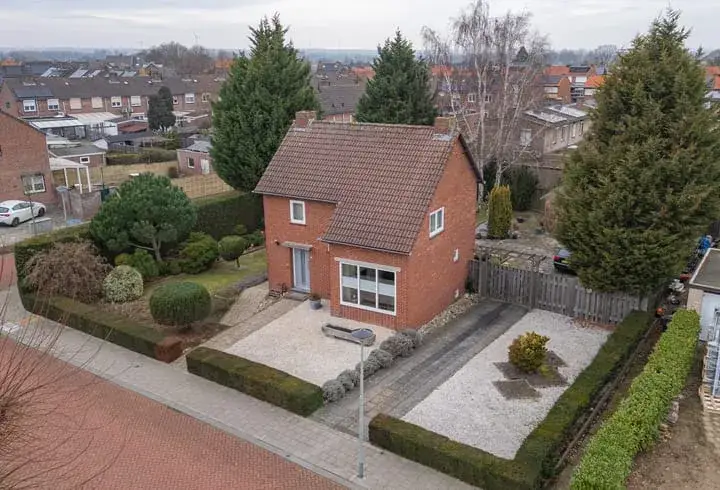
This semi-detached house on Hoolstraat 1 in Urmond is a piece of history, built in 1611. It sits at the edge of the forest, along a quiet road, in a residential area with a free view and a wooded setting. The asking price of €500,000 is on the high side compared to the average asking price for semi-detached houses in Stein.
The home itself
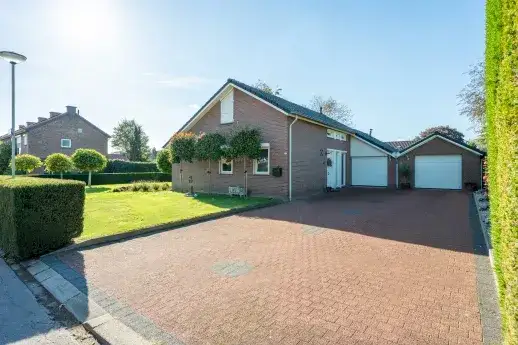
According to the agent, this herenhuis has 7 rooms, 4 bedrooms and 1 bathroom spread over 3 floors, with a volume of 1,007 m³. The living area is listed as 160 m² by the agent, while the BAG registration records 294 m². The plot measures 167 m² in both sources. The home has an attached brick garage, roof insulation and double glazing, and is heated by a central heating boiler and a coal stove. The energy label is G, the least efficient label, so expect high heating costs.
The Urmond ten westen van Julianakanaal neighbourhood
The Urmond ten westen van Julianakanaal neighbourhood is home to around 1,015 people. There are no resident reviews available for this area. The neighbourhood has a mix of households, with 36% single-person households and 31% households with children.
Amenities and transport
The Jumbo supermarket is just around the corner, and there are several other options within a short drive. St. Jozefschool is on your doorstep, and OBS de Maaskei is a ten-minute walk away. Huisartsenpraktijk Urmond and Apotheek Urmond are both a couple of streets away. Bus stops on Sint Maartenstraat and Plakstraat, served by lines 39 and 539, are just around the corner. The nearest train station is Geleen-Lutterade, about 4.5 km away, in the municipality of Stein.
WOZ and address data
No WOZ value is available for this property. The address has several risk indications at area level, not based on an inspection of this specific home. Road traffic noise is 43 dB Lden, aircraft noise 31 dB Lden, and industrial noise 48 dB Lden, all below the noise standards. The foundation risk indication is medium, given the clay soil and the 1611 construction date. Pluvial flooding risk is elevated, as is flood risk now and in 2050, while heat stress is low now and medium by 2050.
Source
At the time of writing, the home is offered via multiple channels, including Heykens Makelaardij. The listing has been active since 11 June 2026. This description is based on the information provided by the agent and public data sources.
This summary was generated with AI and may contain errors. Always verify the details with the provider.
Features
Details of this home
Transfer
Price
Energy
 Save up to € 400 on your energy billCompare now
Areas and volume
Layout
Construction
Outdoor space
Frequently asked questions
About Hoolstraat 1, Urmond
What is the asking price for this home?
The asking price is €500,000. This is on the high side compared to the average asking price for semi-detached houses in the municipality of Stein. The price per square metre, based on the agent's listed living area of 160 m², is €3,125.
How many bedrooms and bathrooms does this home have?
According to the agent, the home has 7 rooms, 4 bedrooms and 1 bathroom, spread over 3 floors. The total volume is 1,007 m³. There is also an attached brick garage.
What is the energy label and what does it mean?
The energy label is G, which is the least efficient label. This means you should expect high energy costs for heating and electricity. The home does have roof insulation and double glazing, according to the agent.
What is the foundation risk for this address?
The foundation risk indication for this address is medium. This is an area-level indication based on public data, not an inspection of this specific home. The home was built in 1611 on clay soil, which may mean wooden piles or a shallow foundation. 82% of properties in this postcode area were built before 1970.
What are the flood risks for this area?
The pluvial flooding risk is elevated, meaning there is a higher chance of flooding from heavy rainfall. The flood risk from rivers or the sea is also elevated, both now and projected for 2050. These are area-level indications from the Klimaateffectatlas, not an assessment of this specific property.
Which supermarkets are nearby?
The nearest supermarket is Jumbo, about 440 metres away, which is a five-minute walk. Other options include SPAR express at 1.5 km, Albert Heijn at 1.6 km, and Lidl at 1.7 km. There are 11 supermarkets within 5 km of the address.
What schools are close to this home?
St. Jozefschool, a special secondary education school, is just 120 metres away on your doorstep. OBS de Maaskei, a primary school, is 666 metres away, about a ten-minute walk. There are 11 schools within 5 km of the address.
What public transport options are available?
Bus stops on Sint Maartenstraat (135 m) and Plakstraat (301 m) are served by lines 39 and 539. The nearest train station is Geleen-Lutterade, about 4.5 km away. The bus stop on Marktschip is 411 metres away and also served by lines 39 and 539.
What is the neighbourhood like?
The neighbourhood of Urmond ten westen van Julianakanaal has around 1,015 residents. 36% of households are single-person, and 31% are households with children. There are no resident reviews available for this area, so this description is based on statistical data only.