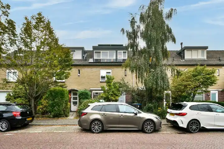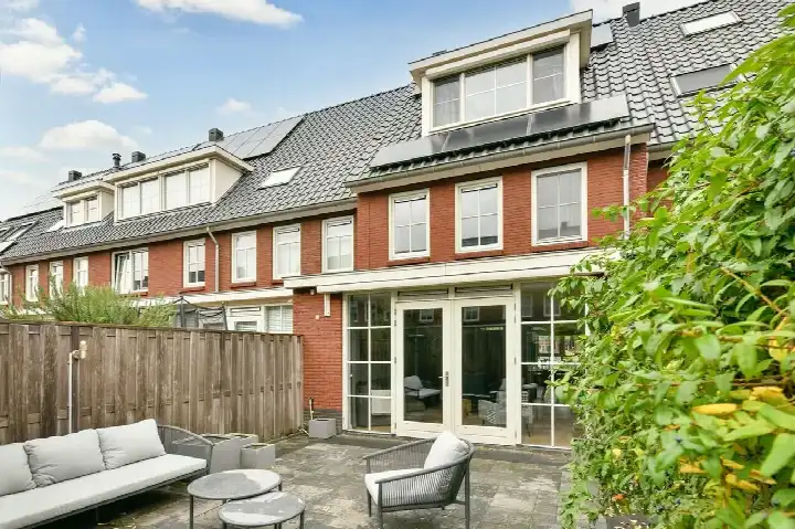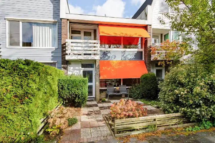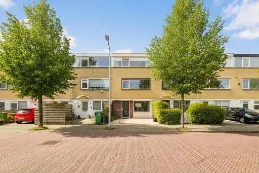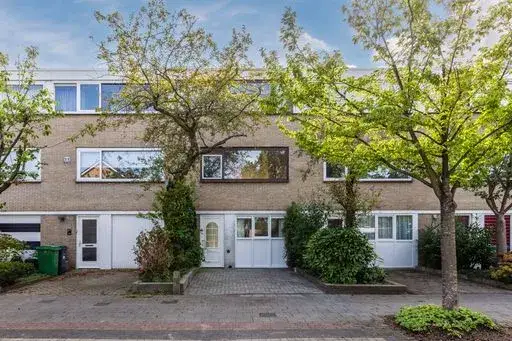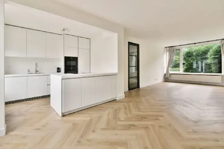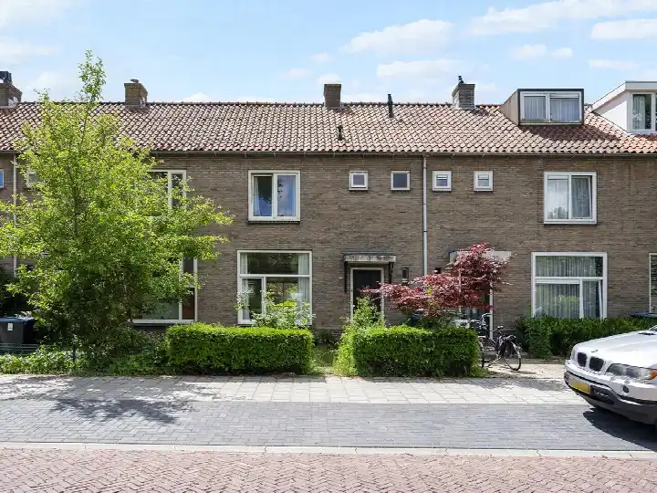





Maarten Lutherweg 122
Augustinuspark · 1185 AS Amstelveen
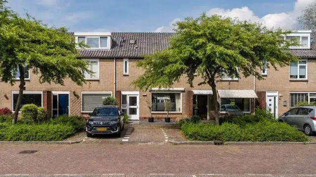
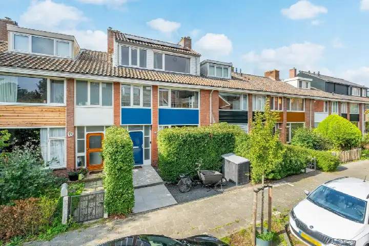
A classic terraced house in Augustinuspark
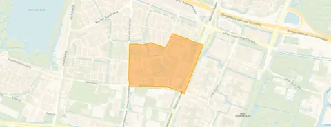
This terraced house on Maarten Lutherweg 122 sits in Augustinuspark, a quiet pocket of Amstelveen where the streets are lined with homes from the early 1960s. The asking price was €745,000. The living area of 144 m² is 52% larger than the neighbourhood average of 95 m², so you are paying for extra space. For context, [terraced houses in Amstelveen] at the time range from €295,000 to €1,199,000. This home has not been online since 1 November 2026.
The home itself
The house was built in 1962 and has an energy label B. The agent did not provide further details about the layout, garden, or installations in this listing, so the description was limited to what was officially registered. According to the BAG registration, the living area is 144 m² on a plot of 160 m². The price per square metre worked out at €5,174 based on the BAG figure.
Life in Augustinuspark
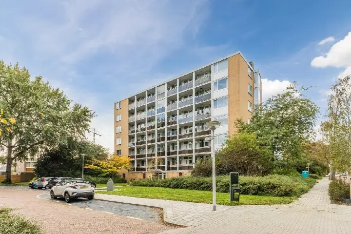
Residents of the wider district give their living environment an average score of 6.78, based on eight reviews. One resident describes the area as cosy and quiet, with plenty of facilities such as snack bars, swimming pools, gyms and a nice shopping centre. Another resident is less positive, mentioning nuisance from a caravan camp and feeling unsafe walking in the dark, while a third notes that safety is generally fine but advises caution near Middenhoven. The neighbourhood itself has around 2,935 inhabitants, with a mix of ages and a high share of single-person households. [The Augustinuspark neighbourhood] is part of Keizer Karelpark district.
Amenities and transport
Daily errands are well covered here. SPAR express is on your doorstep, with Lidl, Jumbo, Albert Heijn and PLUS all just around the corner. For primary education, Vrije Basisschool Parcival and Montessorischool De Linde are a couple of streets away. The nearest GP is Huisartsenpraktijk Meander Amstelveen, a ten-minute walk, and Boots Apotheek Groenelaan is just around the corner. Ziekenhuis Amstelland is a ten-minute walk. Tram stop Sportlaan with lines 6 and 25 is a couple of streets away, and bus stop Amstelveen, In de Wolken with lines 174 and 199 is just around the corner. Amsterdam Zuid station is about 5 km away. [The municipality of Amstelveen] offers further amenities within easy reach.
WOZ and address data
The WOZ value was not stated in this listing, so no comparison with the asking price was possible. According to public address-level risk data, the noise from road traffic is 53 dB Lden, which is above the Dutch standard, while aircraft noise is 46 dB Lden, below the standard. The foundation risk indication is medium, based on the home being built in 1962 on peat soil, possibly with wooden piles or a shallow foundation, and the area being a KCAF attention zone. These are area-level indications, not an inspection of this specific home. The climate risk data shows low pluvial flooding risk, medium flood risk now and in 2050, and low heat stress now rising to medium by 2050.
Source
When this home was still on the market, it was offered via Keij & Stefels B.V.
This summary was generated with AI and may contain errors. Always verify the details with the provider.
Features
Details of this home
Transfer
Price

Areas and volume
 Insure your home and belongingsGet insured
Construction
The WOZ value is set annually by the municipality with 1 January as its reference date, and therefore lags the market by about a year. It is an estimated market value, not a sale price.
Frequently asked questions
About Maarten Lutherweg 122, Amstelveen
What was the asking price for this home?
The asking price was €745,000. The living area was 144 m² according to the BAG registration, which worked out at €5,174 per square metre. Homes in the neighbourhood at the time for sale range from €295,000 to €1,199,000, so this property sat in the upper part of that range. The average asking price in the neighbourhood was €561,732.
What is the living area and plot size of this home?
According to the BAG registration, the living area is 144 m² and the plot is 160 m². This makes the home 52% larger than the neighbourhood average living area of 95 m². The price per square metre was €5,174 based on the BAG figure. The agent did not provide additional details about the layout or outdoor space in this listing.
What was the energy label and what did it mean for costs?
The home has an energy label B. This was an efficient label, which generally meant lower energy costs compared with less efficient labels. The label is a fact about the home's energy performance, but it does not say anything about the condition of the building itself. The home was built in 1962, and the energy label reflects its current registered status.
What is the foundation risk for this address?
The foundation risk indication for this address is medium, according to public data. This is based on the home being built in 1962 on peat soil, which may mean wooden piles or a shallow foundation. The area is also a KCAF attention zone, with 100% of properties in this postcode area built before 1970. These are area-level indications, not an inspection of this specific home.
What are the noise levels like at this address?
Public data shows road traffic noise at 53 dB Lden, which is above the Dutch standard. Aircraft noise is 46 dB Lden, which is below the standard. These figures are area-level indications based on 2022 data, not measurements taken at the property itself. The noise levels are part of the address risk data provided by public sources.
What supermarkets are nearby?
SPAR express is on your doorstep at about 472 metres. Lidl is just around the corner at 519 metres, Jumbo at 543 metres, Albert Heijn at 586 metres, and PLUS at 634 metres. With five supermarkets within a short walk, daily groceries are well covered. The nearest large supermarket is about 0.6 km away according to CBS data.
What schools are close to this home?
Vrije Basisschool Parcival is a couple of streets away at 311 metres, and Montessorischool De Linde is at 374 metres. Het Palet is at 599 metres, and de Horizon and Reformatorische Basisschool De Akker are both at 809 metres. The nearest primary school is about 0.4 km away, and secondary education is about 0.9 km away according to CBS data.
How is public transport in this area?
Tram stop Sportlaan with lines 6 and 25 is a couple of streets away at 312 metres. Bus stop Amstelveen, In de Wolken with lines 174 and 199 is at 408 metres, and tram stop Ouderkerkerlaan with lines 6 and 25 is at 437 metres. Amsterdam Zuid train station is about 5.1 km away, so rail connections require a tram or bus ride first.
What do residents say about living in this district?
Residents of the wider district give an average score of 6.78, based on eight reviews. One resident describes the area as cosy and quiet, with plenty of facilities such as snack bars, swimming pools, gyms and a nice shopping centre. Another resident mentions nuisance from a caravan camp and feeling unsafe walking in the dark, while a third says safety is generally fine but advises caution near Middenhoven.
What is the flood risk for this address?
Public climate data shows a low risk of pluvial flooding from heavy rain. The flood risk from other sources is medium now and is expected to remain medium by 2050. Heat stress is currently low but is expected to rise to medium by 2050. These are area-level indications based on the Klimaateffectatlas, not an assessment of this specific property.