Vossenlaan 239
Sint Anna, Nijmegen
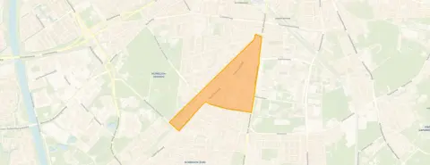 Area
AreaA pre-war terraced house in St. Anna
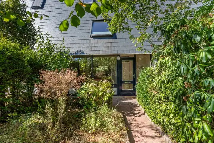
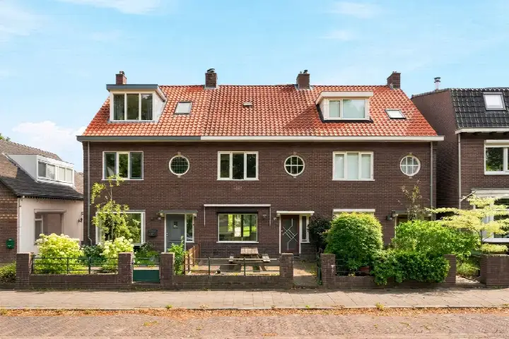
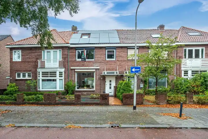
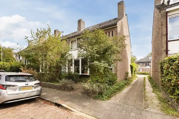
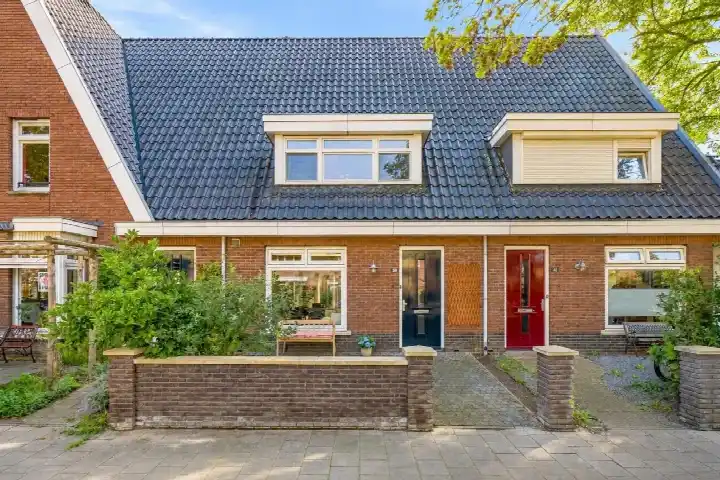
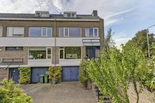
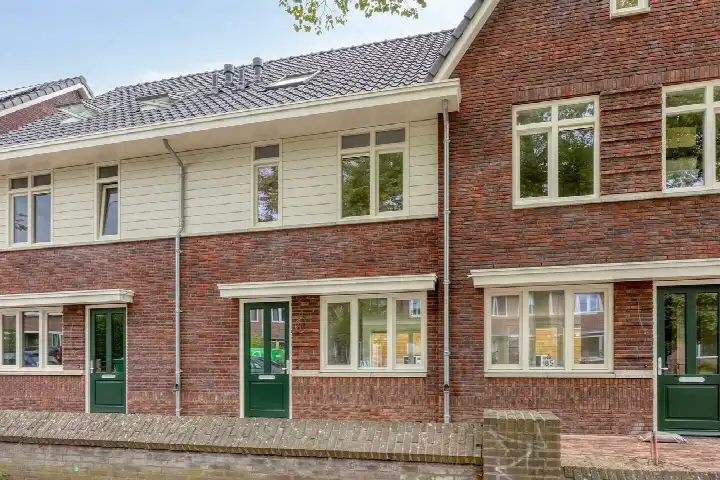
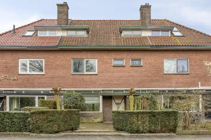
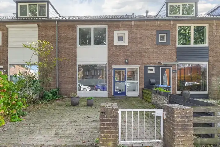
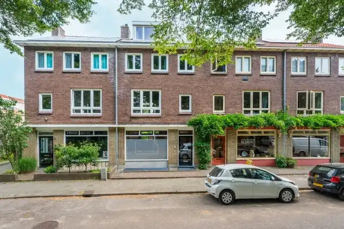
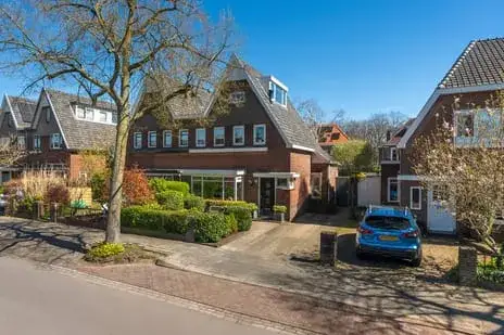
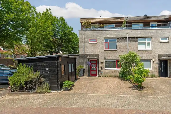
This 1939 terraced house on Vossenlaan sits in St. Anna, a neighbourhood in Nijmegen-Midden where the streets have a settled, lived-in feel. The asking price of €645,000 is in line with the market, based on the average asking price in the neighbourhood. For context, the average asking price for a home here is €653,500, and the price per square metre comes to €5,609 according to the agent's listing. If you are weighing up your options, it helps to see how this compares with other [terraced houses in Nijmegen]( /koopwoningen/nijmegen/tussenwoningen/ ).
The home itself
The agent describes this as a house, without specifying the number of rooms, bedrooms, or bathrooms. The living area is given as 115 m² in the agent's listing, while the BAG registration records 134 m². The plot measures 177 m² according to both sources. The energy label is C, which means the home is moderately efficient; expect energy costs that are neither very low nor very high. Built in 1939, the house has a pre-war character, though the listing does not mention any specific features such as insulation, heating, or outdoor space.
Life in St. Anna
St. Anna is a neighbourhood where residents have mixed feelings about recent changes. Across the district, residents give an average score of 7.73, based on twelve reviews. One resident, who lived here for 25 years, says: "The neighbourhood is not the neighbourhood anymore," noting that the sense of community has faded. Another resident, however, says: "Nice neighbourhood! Everyone gets along well," and mentions the festivals at Goffert. The neighbourhood has about 3,555 residents, with a high share of single-person households at 54 percent. For a closer look at what the area offers, you can read more about [the St. Anna neighbourhood]( /buurt/sint-anna-nijmegen/ ).
Amenities and transport
Daily errands are easy from here. The PLUS supermarket is just around the corner, and the AH XL is a couple of streets away. For schools, De Tapir and Kentalis De TaalSter are both within a short walk, as is the Stedelijke Scholengemeenschap Nijmegen for secondary education. The GP practice Gezondheidscentrum Hazenkamp and the Zuider Service Apotheek Hazenkamp are both just around the corner. For public transport, the bus stop at Meentstraat is a couple of streets away, with lines 6, 9, 12, 15, 406, and 810. Nijmegen Heyendaal train station is a ten-minute walk. The municipality of Nijmegen is well served by these connections, and you can find more about [the municipality of Nijmegen]( /gemeente/nijmegen/ ) on our site. Regarding address-level risks, the noise from road traffic is 47 dB Lden and from rail traffic 28 dB Lden, both below the relevant standards. The foundation risk indication is medium, based on the fact that the home was built before 1970 and that 100 percent of properties in this postcode area date from before that year; the soil type is sand. These are area-level indications, not an inspection of this specific home. For climate risks, pluvial flooding is low, flood risk is low now and in 2050, and heat stress is low now but medium by 2050.
Source
At the time of writing, the home is offered only via Soeteman Makelaars.
This summary was generated with AI and may contain errors. Always verify the details with the provider.
Features
Details of this home
Transfer
Price
Energy
 Save up to € 400 on your energy billCompare now
Areas and volume
 Insure your home and belongingsGet insured
Layout
Construction
Outdoor space
The WOZ value is set annually by the municipality with 1 January as its reference date, and therefore lags the market by about a year. It is an estimated market value, not a sale price.
Frequently asked questions
About Vossenlaan 239, Nijmegen
How does the asking price compare with other homes in St. Anna?
The asking price of €645,000 is in line with the market, according to a comparison with the average asking price in the neighbourhood, which is €653,500. The price per square metre is €5,609, based on the agent's listing. This is a pre-war terraced house, and the neighbourhood has a mix of older homes, with 50 percent built before 1945.
What is the living area of this home?
The agent's listing states a living area of 115 m², while the BAG registration records 134 m². The plot is 177 m² according to both sources. The difference between the two living area figures is not explained in the listing.
What is the energy label and what does it mean for costs?
The energy label is C. This is a mid-range label, so you can expect energy costs that are neither very low nor very high. The home was built in 1939, which is typical for many homes in this neighbourhood, where 50 percent of properties date from before 1945.
What is the WOZ value of this home?
The WOZ is the municipal valuation used for taxes, and it is not always included in a listing. Without this figure, no comparison with the asking price or historical development can be made.
What are the noise levels around this address?
The noise from road traffic is 47 dB Lden, and from rail traffic 28 dB Lden, both below the relevant standards. These are area-level indications based on public data, not measurements at the property itself.
What is the foundation risk for this home?
The foundation risk indication is medium. This is based on the fact that the home was built before 1970, and that 100 percent of properties in this postcode area date from before that year. The soil type is sand. This is an area-level indication, not an inspection of this specific home.
What are the flood and heat stress risks?
Pluvial flooding risk is low, and flood risk is low both now and in 2050. Heat stress is low now but medium by 2050. These are area-level indications from the Klimaateffectatlas, not a property-specific assessment.
Which supermarkets are nearby?
The PLUS supermarket is about 359 metres away, and the AH XL is about 386 metres away. Both are within a short walk. There are also other options within a kilometre, including an Albert Heijn and an Ekoplaza.
Which schools are close to this home?
Several schools are within walking distance. De Tapir and Kentalis De TaalSter are both about 300 metres away, and the Stedelijke Scholengemeenschap Nijmegen for secondary education is about 326 metres away. Basisschool de Hazesprong is about 352 metres away.
What public transport options are available?
The nearest bus stop is Nijmegen, Meentstraat, about 238 metres away, with lines 6, 9, 12, 15, 406, and 810. Nijmegen Heyendaal train station is about 1.5 kilometres away, which is a ten-minute walk.
What do residents say about living in St. Anna?
Residents of the district give an average score of 7.73, based on twelve reviews. Some residents note a decline in community spirit, while others say it is a nice neighbourhood where people get along well. The reviews reflect the district as a whole, not just this specific street.