West, Helmond
 Neighbourhood
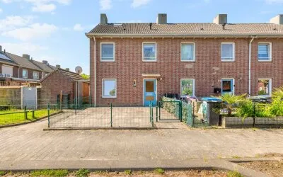
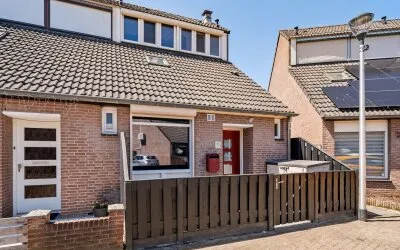
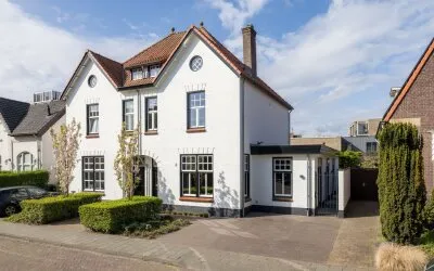
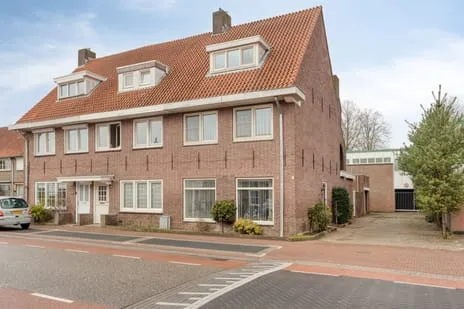
This 1938 corner house on Mierloseweg sits in Helmond-West, a neighbourhood with a mix of pre-war and newer homes. With 135 m² of living space and a 133 m² plot, it offers a solid footprint. The asking price of €399,000 is 18% below the neighbourhood average of €483,727, making it a keen option compared to other end-of-terrace houses in Helmond.
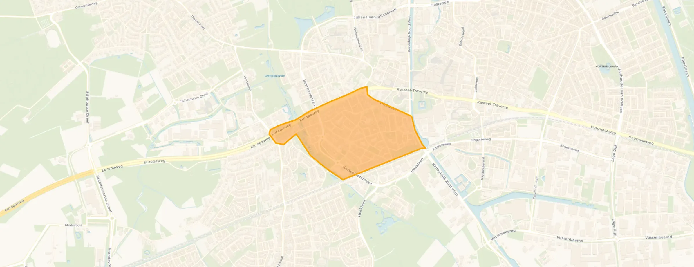
West is a diverse area with around 3,935 residents, many living in single-person households. The three reviews paint a mixed picture: one resident calls it a "lovely place to live" but notes "growing drug nuisance"; another describes it as a "melting pot of nationalities" but adds it's "becoming increasingly criminal"; a third simply says "a lot of drug nuisance." Based on these three reviews, the neighbourhood scores 7.84 out of 10. The neighbourhood West has a high density of addresses (2,134 per km²), typical of a strongly urban area.
For groceries, you have a Jumbo just around the corner and an Albert Heijn a ten-minute walk away. Primary school Kindcentrum Westwijzer is a couple of streets away, and secondary school Jan van Brabant College is within walking distance. The municipality Helmond offers further amenities like a park 400 m away and a train station 1.6 km from the home.
At the time of writing, the home is listed via Broeckx Makelaars and also appears on other channels. The energy label F means heating costs are likely to be high, especially in a neighbourhood where most available homes have better labels.
Details of this home

Mierloseweg 164, Helmond
Good · 3 residents
Lovely place to live but that loveliness is increasingly being taken away by growing drug nuisance
Auto-translated to English by AIbecoming increasingly criminal and growing Islam
Auto-translated to English by AIa lot of drug nuisance
Auto-translated to English by AIData from West
Data from West
28 within 5 km


43 within 5 km
About Mierloseweg 164, Helmond
The asking price is 18% below the average asking price in West (€483,727) and also below the median of €359,500. Given the 135 m² floor area, the price per m² is about €2,956, which is lower than the neighbourhood average of €3,397 per m². So it's priced keenly compared to other homes currently for sale.
Energy label F indicates poor energy efficiency. You can expect higher heating and electricity costs compared to homes with better labels. In West, only 17.6% of homes have a label D or lower, so this home is less efficient than most available properties in the neighbourhood.
West is a densely populated urban area with a mix of ages and household types. Resident reviews mention drug nuisance and a changing character, but also describe it as a "lovely place to live" and a "melting pot of nationalities." The overall score from three reviews is 7.84 out of 10.
The nearest primary school is Kindcentrum Westwijzer, about 480 m away. For secondary education, Jan van Brabant College is 631 m away. Several other schools are within a 1.5 km radius, including OBS 't Hout and KC Wilhelmina.
Helmond train station is 1.6 km from the home, which is about a 20-minute walk or a short cycle ride.
The closest supermarket is a Jumbo at 708 m, with another Jumbo at 823 m and an Albert Heijn at 937 m. There's also an Ekoplaza and an Aldi within 1.2 km.
The neighbourhood recorded 213 total crimes in the latest data, but specific safety perceptions vary. Resident reviews mention drug nuisance and criminality, though one still calls it a "lovely place to live." It's worth considering the mixed feedback.
6 homes in the neighbourhood West

Buurtje.nl uses cookies to make the site work and to improve it. In doing so, we process data such as your IP address and the pages you visit.
We use this data for three purposes: running the website (functional), measuring visits so we can improve Buurtje.nl (analytics), and — if you allow it — tailoring ads to your interests (marketing).
How we handle your data is described in our privacy policy. You can change your preferences at any time via 'Cookie preferences' at the bottom of every page.
Choose per category which cookies we may place. Read more in our privacy policy.