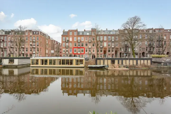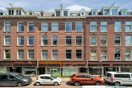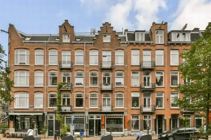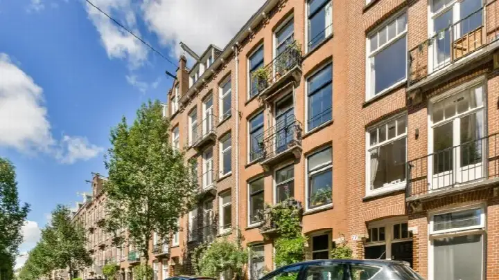
Elisabeth Wolffstraat 73-3
Bellamybuurt-Noord, Amsterdam
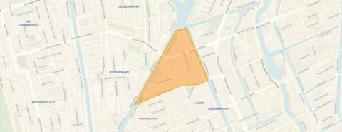 Area
AreaA classic Amsterdam apartment in Bellamybuurt-Noord
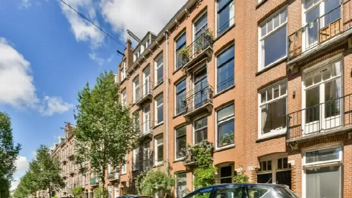
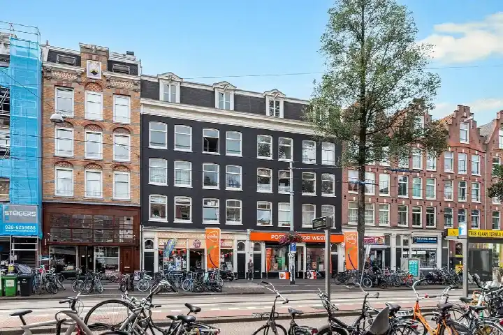
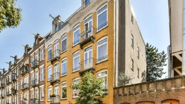
This apartment on Elisabeth Wolffstraat 73-3 sits in Bellamybuurt-Noord, a lively corner of Amsterdam's Oud-West district. The building dates from 1905, so you are looking at a piece of the city's historic housing stock. This listing does not state the energy label. As a result, you cannot tell from the listing how energy-efficient the home is. The asking price of €500,000 works out at €8,065 per square metre based on the BAG registration, which puts it on the high side compared with the average of €9,551 per m² for apartments in Amsterdam.
The home itself
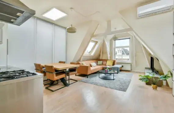
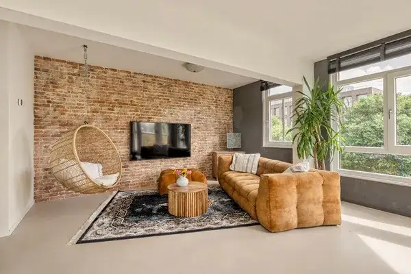
The apartment has a living area of 62 square metres according to the BAG registration. The year of construction is 1905, a fact that tells you about the age of the building but nothing about its condition. Without more information from the agent, the interior layout remains unknown.
Life in Bellamybuurt-Noord
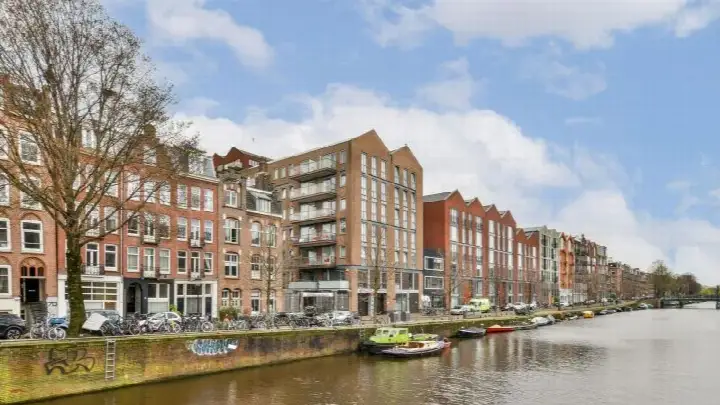
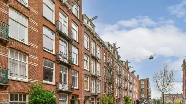
Bellamybuurt-Noord is a compact urban neighbourhood with 2,390 residents, and the vast majority of homes here were built before 1945. It is a very strongly urban area, with a high density of addresses. Across the municipality of Amsterdam, residents give an average score of 7.35 based on 252 reviews. One resident describes the wider area as quiet, peaceful, relaxed and green, with a nice mix of people. Another mentions that the district is well connected by metro and that amenities are within walking distance, though they also note that rubbish containers are a daily eyesore. These reviews describe the municipality as a whole rather than this specific neighbourhood. For a closer look at what the area offers, see the Bellamybuurt-Noord neighbourhood.
Amenities and transport
Daily errands are easy from here. A Dirk supermarket is just around the corner, with an Albert Heijn a couple of streets away as well. For primary education, Daltonschool De Waterkant is a couple of streets away, and St. Janschool is also within walking distance. The nearest GP is SAG Gezondheidscentrum Helmersstraat, a ten-minute walk, while BENU Apotheek Bilderdijk is just around the corner. Tram stops at Bilderdijkstraat and De Clercqstraat are both a couple of streets away, served by lines 13 and 19, and 12, 13 and 19 respectively. Amsterdam Centraal station is about 2.5 kilometres away. This is all part of the municipality of Amsterdam. Public risk data at address level shows that road traffic noise is 53 dB Lden, above the noise standard, while railway and aircraft noise are below their standards. The foundation risk indication is medium, which is an area-level indication based on the fact that the building predates 1970. For climate, the pluvial flooding indication is medium, the current flood risk is low, and heat stress is currently medium but elevated by 2050. These are area-level indications from public data, not an inspection of this specific home.
Source
At the time of writing the home is offered only via ME Makelaars B.V.
This summary was generated with AI and may contain errors. Always verify the details with the provider.
Features
Details of this home
Transfer
Price

Construction
Frequently asked questions
About Elisabeth Wolffstraat 73-3, Amsterdam
What does the asking price of €500,000 mean for this apartment?
The asking price is €500,000, which comes to €8,065 per square metre based on the BAG living area of 62 m². In the neighbourhood, the average asking price per m² is €9,551, so this apartment sits below that average. The average asking price for homes currently for sale in the area is €545,800, with a median of €562,500. The price is on the high side compared with the neighbourhood average.
What is known about the layout of this apartment?
The listing states a living area of 62 square metres according to the BAG registration. The agent has not published details about the number of rooms, bedrooms or bathrooms. The building dates from 1905, which gives an indication of its age but not of the interior arrangement.
Why is there no energy label in this listing?
The agent has not published this field, so there is no official indication of the home's energy efficiency. Without the label, you cannot tell from the listing how energy-efficient the apartment is. The building was constructed in 1905, but the energy label would need to be provided by the seller to know more.
What does the foundation risk indication mean for this address?
The foundation risk indication for this address is medium. This is an area-level indication based on public data, not an inspection of this specific home. The building was constructed before 1970, and the KCAF attention area notes that 100% of properties in this postcode area were built before 1970. This is a general indication for the area rather than a verdict on this particular apartment.
How noisy is the area around Elisabeth Wolffstraat 73-3?
Public data shows road traffic noise at 53 dB Lden, which is above the noise standard. Railway noise is 33 dB Lden, below the standard, and aircraft noise is 46 dB Lden, also below the standard. These figures come from public risk data at address level and are indications for the area, not measurements taken inside this specific home.
What supermarkets are within walking distance?
A Dirk supermarket is just around the corner at about 212 metres. An Albert Heijn is also just around the corner at 229 metres, with another Albert Heijn a couple of streets away at 323 metres. A SPAR is at 367 metres and a Vomar at 408 metres. In total there are 156 supermarkets within five kilometres of the address.
Which schools are near this apartment?
Daltonschool De Waterkant is a couple of streets away at 367 metres, and St. Janschool is at 415 metres. Kindcentrum De Kinkerbuurt is at 435 metres and 10e Montessorischool De Meidoorn at 483 metres. For secondary education, Huygens College is at 529 metres. All of these are within walking distance of the apartment.
What public transport options are available nearby?
The tram stop Bilderdijkstraat is just around the corner at 265 metres, served by lines 13 and 19. De Clercqstraat stop is at 293 metres with lines 12, 13 and 19. Kinkerstraat stop at 319 metres offers lines 1, 12, 13, 17, 19 and N83. Amsterdam Centraal train station is about 2.5 kilometres away.
What is the neighbourhood like according to residents?
Residents across the municipality of Amsterdam give an average score of 7.35 based on 252 reviews. One resident describes the area as quiet, peaceful, relaxed and green with a nice mix of people. Another mentions good metro connections and amenities within walking distance, though they also note that rubbish containers are a daily eyesore. These reviews describe the municipality as a whole rather than this specific neighbourhood.
What is the flood risk for this address?
The current flood risk is low, and it remains low for 2050. The pluvial flooding indication is medium, meaning there is a moderate indication for flooding from heavy rain. Heat stress is currently medium and is indicated as elevated by 2050. These are area-level indications from the Klimaateffectatlas, not an assessment of this specific property.