Hoofdstraat 109
Amstenrade, Beekdaelen
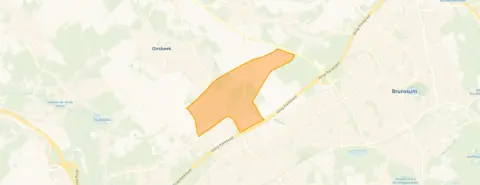 Area
AreaA spacious apartment in Amstenrade
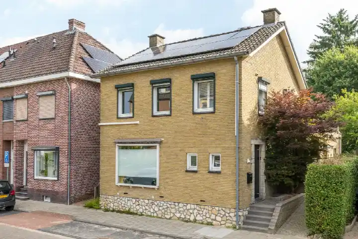
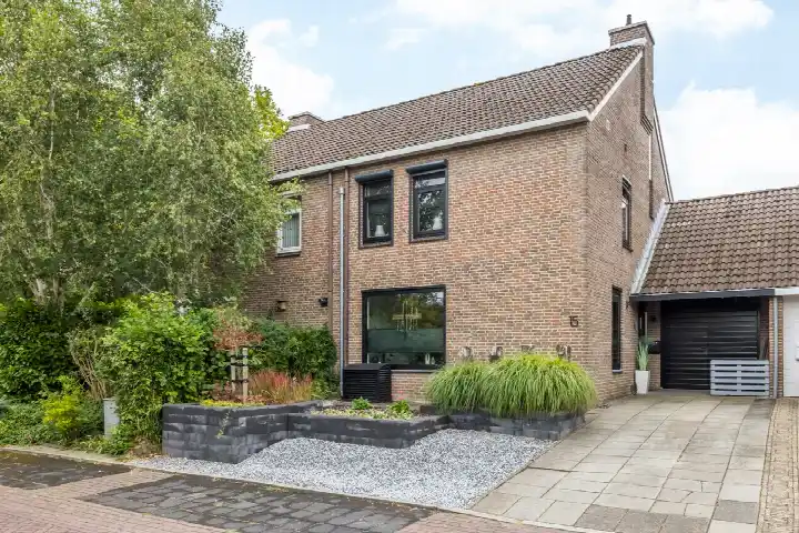
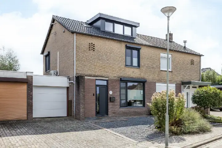
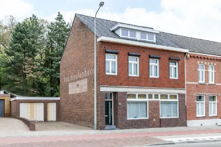
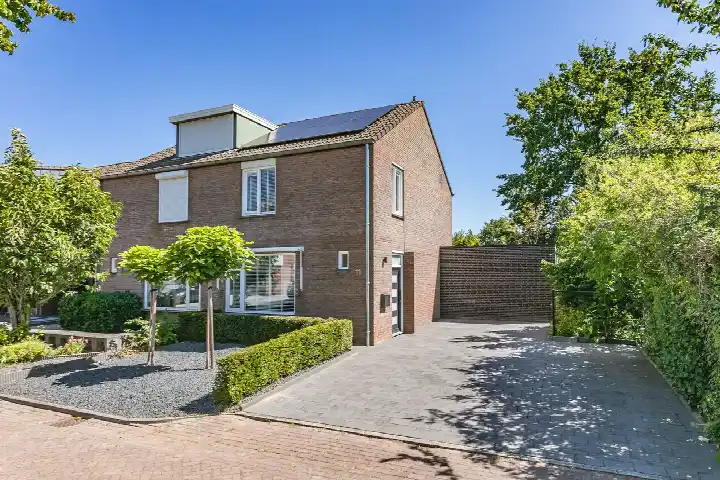
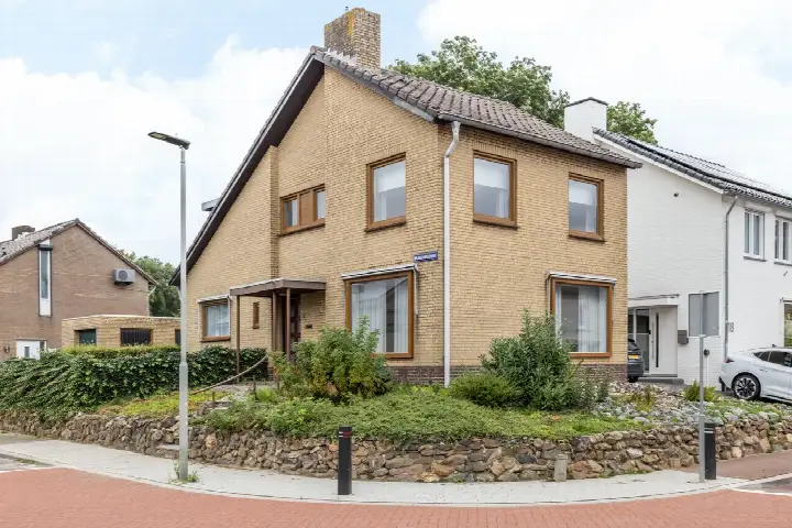
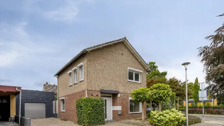
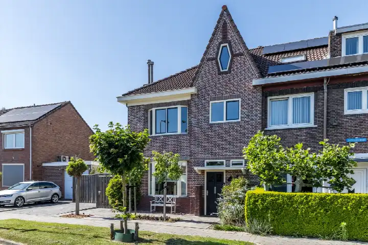
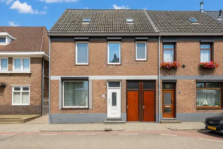
This apartment on Hoofdstraat sits in the heart of Amstenrade, a village in the municipality of Beekdaelen. With 524 m² of floor space, it is exceptionally large for an apartment. The energy label is G, the least efficient label, so expect high heating costs. Built in 1956, the property is priced at €399,500, which is on the high side compared to other apartments in Beekdaelen.
The Amstenrade neighbourhood
Amstenrade is a quiet village with 1,680 residents, many of whom are older: over 530 are 65 or older. There are no neighbourhood reviews available, so this description is based on CBS data. The area has a mix of families and singles, with 315 one-person households and 225 households with children. Most homes are owner-occupied (57%) and single-family (69%). The urbanity level is low, with an address density of 725 per km². For more details, see the Amstenrade neighbourhood.
Life on the street
Daily errands are easy: the nearest supermarket, Albert Heijn, is just around the corner, and a Jumbo is a ten-minute walk away. For primary education, Basisschool De Verrekijker is on your doorstep, and a secondary school, Sint-Janscollege, is a couple of streets away. A GP and a restaurant are also within a five-minute walk. The area is part of the municipality of Beekdaelen, which offers further amenities.
Source
At the time of writing the home is listed only via OPS Advies.
This summary was generated with AI and may contain errors. Always verify the details with the provider.
Features
Details of this home
Transfer
Price

Areas and volume
 Insure your home and belongingsGet insured
Construction
Frequently asked questions
About Hoofdstraat 109, Amstenrade
Is €399,500 a fair price for this apartment?
The price is €399,500 for 524 m², which works out to about €762 per m². Without neighbourhood market data, it's hard to compare directly, but given the large floor area and the G energy label, the price is on the high side. The property is listed only via OPS Advies.
What does energy label G mean for this home?
Energy label G is the least efficient label, meaning the home's energy performance is poor. This typically leads to higher heating and electricity costs. The label is an official registration from EP-Online and does not specify which aspects cause the low rating.
How far is the nearest train station?
The nearest train station is 4.3 km away. This distance is not within walking distance, so a car or bus would be needed for train travel.
What schools are near this apartment?
Basisschool De Verrekijker is 213 m away, a primary school with 239 pupils. Other nearby schools include Katholieke Basisschool De Sprong (1.2 km) and Sint-Janscollege (1.3 km), a secondary school. All are within a short walk or cycle.
What supermarkets are close by?
Albert Heijn is 400 m away, just a five-minute walk. Jumbo is 1 km away, and Aldi is 1.4 km. For daily groceries, the Albert Heijn is the most convenient option.
Is the neighbourhood safe?
In the most recent data, 53 crimes were recorded in the neighbourhood. This is a moderate number for a village of 1,680 residents. No specific crime types are listed.