Molenweg 82
Hopel, Kerkrade
 Area
AreaA spacious semi-detached home in Hopel
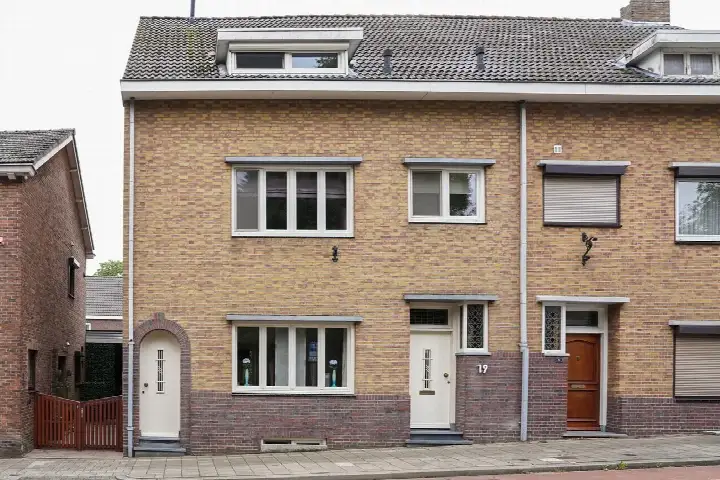
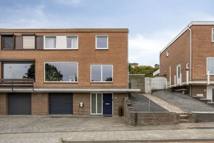
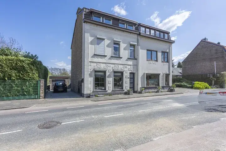
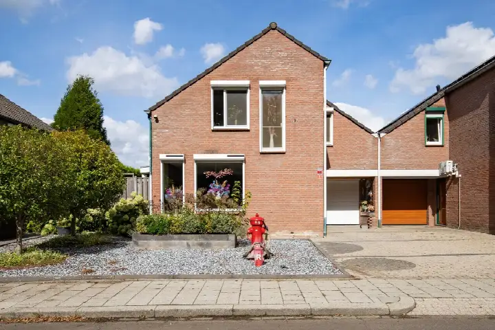
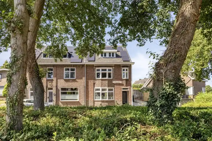
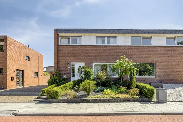
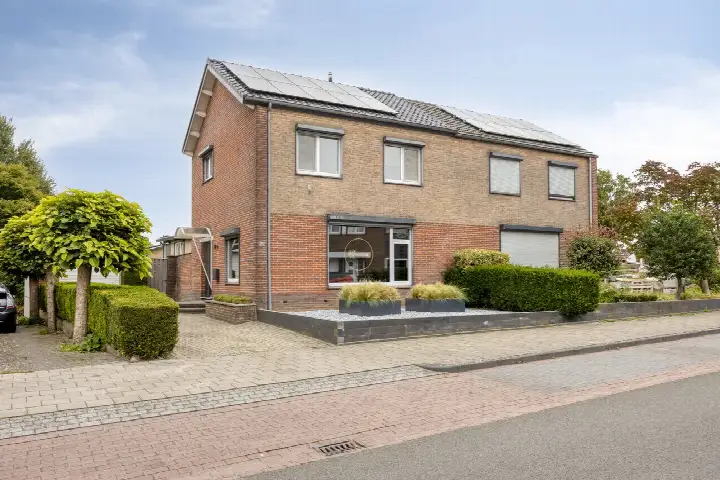
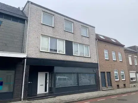
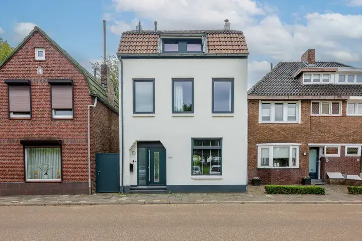
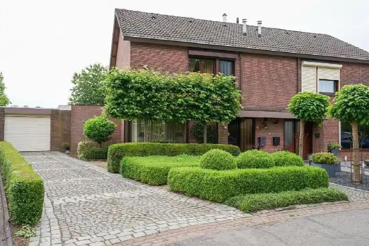
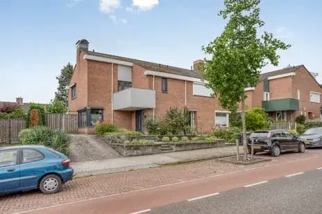
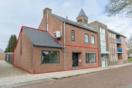
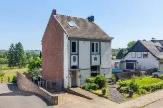
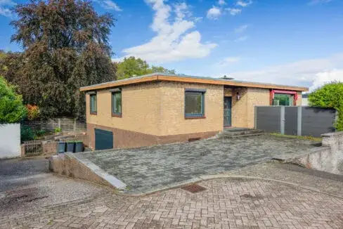
On Molenweg 82 in Eygelshoven, part of the Hopel neighbourhood in Kerkrade, stands a semi-detached house from 1949. With a living area of 268 m² according to the BAG registration, this is a home with plenty of room. The asking price of €399,000 is in line with the market, according to the precomputed comparison with the neighbourhood average. For context, the price sits 37% above the average asking price of €290,500 in the neighbourhood, while the living area is 91% larger than the neighbourhood average of 140 m². This is one of the [semi-detached houses in Kerkrade] currently on the market.
The home itself
This semi-detached house was built in 1949 and carries an energy label F. The label F is a low rating, so expect higher energy costs. The plot measures 502 m² according to the BAG registration. The listing does not provide further details about the layout, installations, or outdoor space.
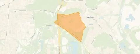
Hopel, a quiet corner of Kerkrade
Hopel is a small neighbourhood within the district of Kerkrade-Noord, home to around 2,270 people. Residents of the district give their living environment an average score of 8.36, based on six reviews. One resident says: "Lots of nature, beautiful surroundings, quiet living." Another notes: "In reports there is mention of theft from cars. At weekends sometimes fireworks from LHC. The municipality does a lot of maintenance on greenery, truly fantastic." A third resident is less positive: "It was once a nice neighbourhood but not anymore." The reviews paint a mixed picture, with praise for the natural surroundings and criticism of some maintenance issues. For more context, you can explore [the Hopel neighbourhood] on our site.
Daily life around Molenweg
Groceries are within easy reach, with a Jumbo just around the corner. A GP practice, Medisch Centrum Eygelshoven, Huisartsenpraktijk Laumen, is a five-minute walk away, and the pharmacy APOSAN Apotheek BV is a ten-minute walk. Basisschool de Veldhof is also just around the corner. For public transport, bus stops on Laurastraat and Spechtstraat are a couple of streets away, served by lines 9 and 723. The nearest train station, Eygelshoven, is about 500 metres away. The hospital Zuyderland in Heerlen is further out, at roughly 5.8 km. This is all part of [the municipality of Kerkrade].
WOZ and address data
No WOZ value is available for this property in the data. The address-level risk indications from public sources (Atlas Leefomgeving, KCAF, Klimaateffectatlas) show noise levels from road traffic at 46 dB Lden, rail traffic at 28 dB Lden, and air traffic at 33 dB Lden, all below the relevant standards. The foundation risk indication is low, with sandy soil and a construction year before 1970. For climate risks, pluvial flooding at heavy rain is indicated as medium, while current flood risk and heat stress are low, with heat stress expected to become medium by 2050. These are area-level indications, not an inspection of this specific home.
Source
At the time of writing, the home is offered via Spauwen | Werrij.
This summary was generated with AI and may contain errors. Always verify the details with the provider.
Features
Details of this home
Transfer
Price
Energy
 Save up to € 400 on your energy billCompare now
Areas and volume
 Insure your home and belongingsGet insured
Layout
Construction
Outdoor space
Frequently asked questions
About Molenweg 82, Eygelshoven
What is the asking price for this semi-detached house?
The asking price is €399,000. This is in line with the market, according to the precomputed comparison with the neighbourhood average asking price of €290,500. The price per square metre, based on the BAG living area of 268 m², is €1,489. The home has been on the market through one agent, Spauwen | Werrij.
How large is this home and what is the plot size?
According to the BAG registration, the living area is 268 m² and the plot measures 502 m². The listing does not state the number of rooms, bedrooms, or bathrooms. The home was built in 1949 and has an energy label F, which is a low rating, so expect higher energy costs.
What is the energy label and what does it mean?
The energy label is F. This is a low rating on the energy label scale, which means the home is likely to have higher energy costs compared to more efficient homes. The listing does not provide details about insulation or heating installations. The label is a fact about the home's energy performance, not a statement about its structural condition.
What do residents say about living in this area?
Residents of the district give their living environment an average score of 8.36, based on six reviews. One resident says: "Lots of nature, beautiful surroundings, quiet living." Another mentions theft from cars and fireworks at weekends, but praises the municipality's maintenance of greenery. A third resident is critical of maintenance in their apartment building. These reviews describe the district, not specifically the Hopel neighbourhood.
What are the noise levels around this address?
The address-level risk data shows noise from road traffic at 46 dB Lden, rail traffic at 28 dB Lden, and air traffic at 33 dB Lden, all below the relevant standards. These figures come from public data sources and are area-level indications, not measurements taken at this specific home.
What is the foundation risk for this property?
The foundation risk indication for this address is low. The soil type is sand, and the home was built in 1949, before 1970. This is an area-level indication based on public data, not an inspection of this specific property. No further details about the foundation are stated in the listing.
What are the climate risks for this address?
The climate risk indications for this address show pluvial flooding at heavy rain as medium, while current flood risk is low and expected to remain low by 2050. Heat stress is currently low but is expected to become medium by 2050. These are area-level indications from public data sources, not an assessment of this specific home.
What supermarkets and schools are nearby?
A Jumbo supermarket is about 600 metres away, with a PLUS, Albert Heijn, another Jumbo, and a Lidl within roughly 2.5 to 2.7 km. Basisschool de Veldhof is about 600 metres away, and there are several other primary schools within a couple of kilometres. The nearest secondary school, Locatie Eijkhagen, is about 2 km away.
How is the public transport connection from this home?
Bus stops on Laurastraat and Spechtstraat are about 340 metres away, served by lines 9 and 723. The nearest train station, Eygelshoven, is about 520 metres away. The listing does not state travel times or destinations for these services.
Why are there no property details in this listing?
The listing does not state the number of rooms, bedrooms, bathrooms, or any details about the garden, garage, or installations. It also does not provide a WOZ value. As a result, the description is based on the available facts: the property type, year of construction, energy label, and floor areas from the BAG registration.