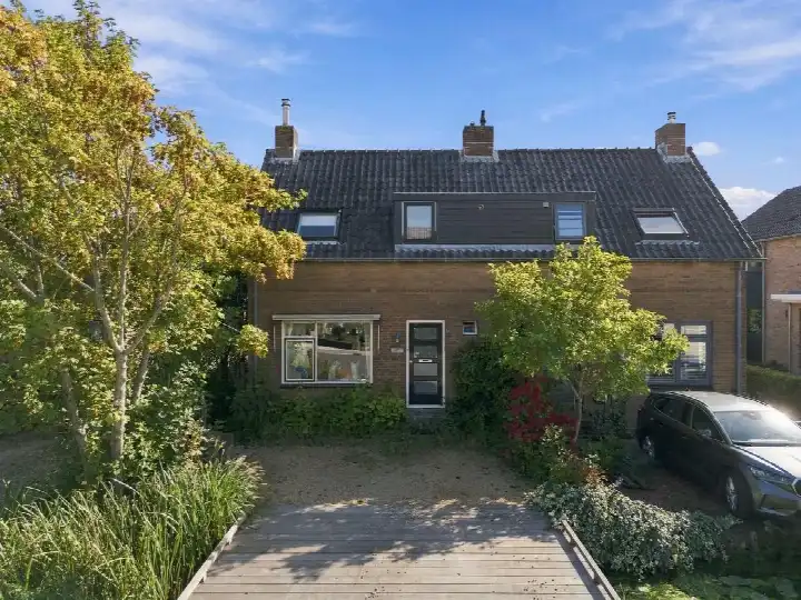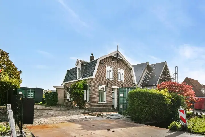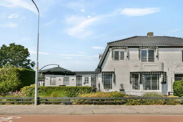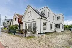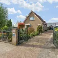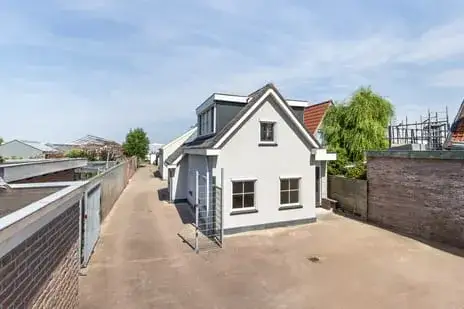
Aalsmeer's waterside semi-detached home
This semi-detached house sits on the Uiterweg, a road that runs along the water in Aalsmeer, a town known for its flower trade and green surroundings. The home dates from 1906 and is offered for €875,000. According to the agent, the asking price is 29% below the average asking price of €1,237,722 for homes in this neighbourhood. For context, the average asking price per square metre in the area is €8,427, and the average living area is 162 m². This home's living area is 75 m² according to the BAG registration, which is 54% smaller than the neighbourhood average. The price per square metre, based on the BAG living area, comes to €11,667. The listing does not state the energy label, so that information is missing from the agent's description. For a sense of the market, there are currently 18 homes for sale in the neighbourhood, with prices ranging from €125,000 to €3,925,000. You can compare this with other [semi-detached houses in Aalsmeer]( /koopwoningen/aalsmeer/twee-onder-een-kapwoningen/).
The home itself
This semi-detached house is offered with full ownership, meaning you own both the house and the land it stands on. The agent describes the setting as being on navigable water with a sheltered position. The BAG registration lists a living area of 75 m² and a plot of 145 m², while the agent's listing gives a plot of 775 m². The home was built in 1906, so it has a long history in this waterside location. The listing does not mention the number of rooms, bedrooms, or bathrooms, nor does it describe the garden, balcony, or any insulation or heating installations.
The Uiterweg neighbourhood
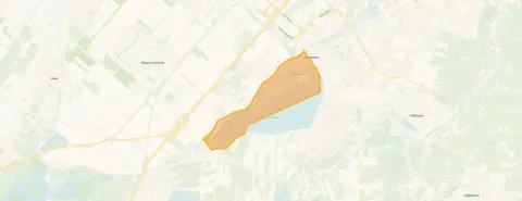
Residents of the district of Aalsmeer, which includes this neighbourhood, give their living environment an average score of 7.17 out of 10, based on three reviews. One resident says: "It's a nice neighbourhood with the Westeinderplas around the corner. Beautiful nature. And peace. Little nuisance from aircraft. Green and trees at your doorstep. Safe traffic situation. Child and dog friendly. Aalsmeer has a nice centre. Lots to do. Always on the move. Water sports and many activities to do. Sports and games. Bus station present." Another resident notes: "Green and the old bus station have become nicely green. Too bad there's no bench." A third resident mentions: "Too few contacts, everyone is on their own because there are too many cultural people. We have lived here for 42 years in a large house with 4 rooms and a very large attic. We would like to live smaller, but then you are punished with a much higher rent." The neighbourhood has around 860 inhabitants, with a mix of ages: 24% are 65 or older, and 12% are under 15. Of the households, 34% are single-person households and 34% are households with children. The housing stock consists of 295 homes, of which 73% are owner-occupied. This gives you a picture of [the Uiterweg neighbourhood]( /buurt/uiterweg-aalsmeer/).
Amenities and transport
For daily groceries, the PLUS supermarket is just around the corner, while Albert Heijn, Vomar, and Lidl are all within a couple of streets away, at distances of 1.8 to 2.0 km. For primary education, Openbare Basisschool Kindcentrum Westwijs is a ten-minute walk, and Openbare Basisschool Samen Een is. The nearest GP is Huisartsenpraktijk Rijsenhout, and the nearest pharmacy is Service Apotheek Rijsenhout, both in Rijsenhout. For public transport, the bus stop Rijsenhout, Zeilhof is just around the corner, served by bus line 163 and OVoM. The nearest train station is Hoofddorp,. This all falls within [the municipality of Aalsmeer]( /gemeente/aalsmeer/). Regarding address-level risk data, the noise level from road traffic is 55 dB Lden, which is above the noise standard, and from air traffic it is 52 dB Lden, also above the standard, based on 2022 data. The foundation risk indication for this address is medium, which is an area-level indication, not an inspection of this specific home. The home was built before 1970, and in this postcode area, 58% of properties were built before 1970. According to the Climate Effect Atlas, 2% of properties in this neighbourhood have an elevated risk of pile rot. The soil type is sand. For climate risks, pluvial flooding at heavy rain is low, and the flood risk is low both currently and in 2050. These are all area-level indications from public data sources.
Source and agent
At the time of writing, the home is offered via multiple channels, including Eveleens Makelaars and Eveleens Makelaars on Funda. The listing was first published on 24 October 2026.
This summary was generated with AI and may contain errors. Always verify the details with the provider.
Features
Details of this home
Transfer
Price
Areas and volume
Construction
Frequently asked questions
About Uiterweg 350-352, Aalsmeer
How does the asking price compare to other homes in the neighbourhood?
The asking price of €875,000 is 29% below the average asking price of €1,237,722 for homes in this neighbourhood, according to the agent. The average asking price per square metre in the area is €8,427, while this home's price per square metre, based on the BAG living area of 75 m², is €11,667. The neighbourhood has 18 homes for sale, with prices ranging from €125,000 to €3,925,000.
What is the living area and plot size of this home?
According to the BAG registration, the living area is 75 m² and the plot is 145 m². The agent's listing, however, states a plot of 775 m². The listing does not mention the number of rooms, bedrooms, or bathrooms. The home was built in 1906 and is described by the agent as being on navigable water with a sheltered position.
Why is there no energy label in the listing?
The agent has not published this field, so no information about the home's energy efficiency is available. This means you cannot assess the expected energy costs from the listing itself.
What is the WOZ value of this home?
The WOZ value is the municipal valuation of the property, and it is not included in the agent's description. As a result, there is no information about the official valuation or how it compares to the asking price.
What are the noise levels around this address?
According to public address-level data, the noise level from road traffic is 55 dB Lden, which is above the noise standard, and from air traffic it is 52 dB Lden, also above the standard, based on 2022 data. These are area-level indications, not measurements taken at the property itself.
What is the foundation risk for this home?
The foundation risk indication for this address is medium, based on area-level data. The home was built before 1970, and in this postcode area, 58% of properties were built before 1970. According to the Climate Effect Atlas, 2% of properties in this neighbourhood have an elevated risk of pile rot. The soil type is sand. This is an area-level indication, not an inspection of this specific home.
What supermarkets are near this home?
The nearest supermarket is PLUS, at 531 metres, which is just around the corner. Albert Heijn is at 1.9 km, Vomar at 1.9 km, and Lidl at 2.0 km. Jumbo is at 2.7 km. There are nine supermarkets within 5 km of the address.
Which schools are close to this home?
The nearest primary school is Openbare Basisschool Kindcentrum Westwijs, at 830 metres, which is a ten-minute walk. Openbare Basisschool Samen Een is at 2.1 km, and Jozefschool Katholiek Basisonderwijs is at 2.2 km. For secondary education, Yuverta mavo Aalsmeer is at 2.4 km. There are 14 schools within 5 km.
What public transport options are available nearby?
The nearest bus stop is Rijsenhout, Zeilhof, at 406 metres, served by bus line 163 and OVoM. Other stops include Rijsenhout, Centrum Schouwstraat at 457 metres and Rijsenhout, Drakenstraat at 787 metres, both on the same lines. The nearest train station is Hoofddorp, at 4.1 km.
What do residents say about living in this area?
Residents of the district of Aalsmeer give their living environment an average score of 7.17 out of 10, based on three reviews. One resident highlights the Westeinderplas around the corner, beautiful nature, peace, and little nuisance from aircraft. Another mentions the green surroundings and the old bus station that has become nicely green, though they note there is no bench. A third resident mentions too few contacts and cultural differences.