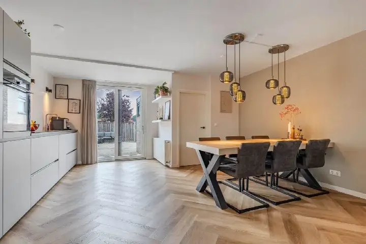
Amaliastraat 15
Sperkhem en industrieterrein Houkesloot, Súdwest-Fryslân
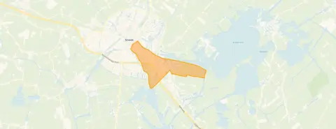 Area
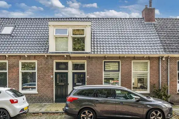
AreaA 1930s terraced house in Sneek
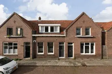
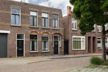
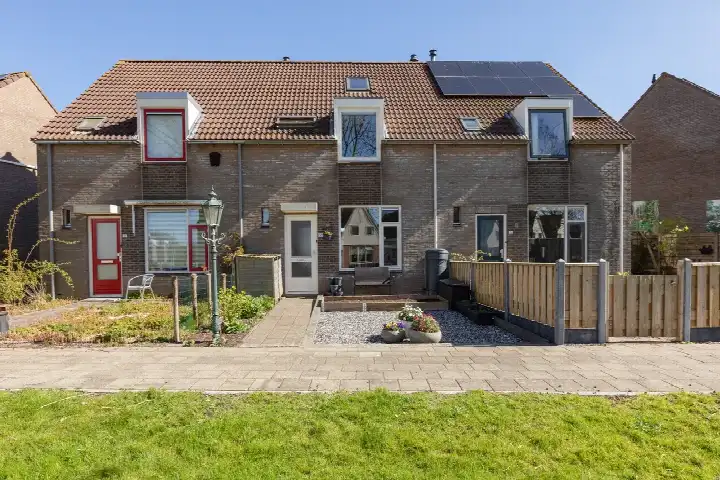
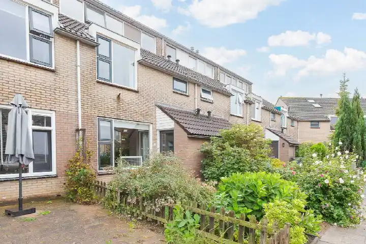
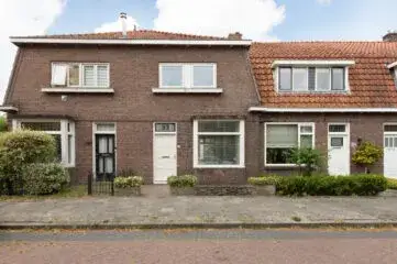
This terraced house on Amaliastraat 15 sits in Sperkhem en industrieterrein Houkesloot, a mixed neighbourhood on the edge of Sneek. Built in 1939, it has an energy label C. The asking price of €299,500 is keen compared with the neighbourhood average asking price of €348,857, a difference of 14 percent. For context, terraced houses in Súdwest-Fryslân are part of a wider local market where prices vary considerably.
The home itself
The listing gives limited detail about the interior. What is known: the home dates from 1939 and carries energy label C. According to the BAG registration, the living area is 101 m² on a plot of 128 m². That works out at €2,965 per m² based on the BAG figure. The agent has not provided further specifications about rooms, layout or installations in this listing.
Sperkhem en industrieterrein Houkesloot
Residents of the district give it an average score of 8.23, based on fourteen reviews. One resident, who has lived here for 26 years, says they have done so "with great enjoyment". Another describes it as a "nice neighbourhood to grow up in". A third review mentions it as "usually a fairly quiet neighbourhood" where people of all ages live, with a primary school and a shop nearby, though there can be nuisance from youths in summer. The neighbourhood has around 2,895 inhabitants, with a high share of one-person households at 53 percent. The Sperkhem en industrieterrein Houkesloot neighbourhood is home to a mix of housing, with just over half of the stock owner-occupied.
Amenities and transport
Daily errands are well covered. Aldi and Poiesz are just around the corner, with Jumbo a couple of streets away. The Koningin Wilhelminaschool is on your doorstep, and the GP practice Nij Túndoarp is just around the corner too. The pharmacy, Service Apotheek Scharnegoutum, is a five-minute walk. Bus line 99 stops at Opperhuizerweg, a couple of streets away, while Grootzand offers lines 38, 39, 44, 45, 46 and 390. Sneek train station is a ten-minute walk. The Antonius Ziekenhuis is within the municipality of Súdwest-Fryslân and reachable in about twenty minutes on foot.
WOZ and address data
No WOZ value is stated for this property. Public address-level risk data indicates the foundation risk is elevated, an area-level indication rather than an inspection of this specific home. The home was built in 1939 on clay soil, and in this postcode area 93 percent of properties date from before 1970. The groundwater level is expected to drop towards 2050, which increases risk for wooden foundations. Pluvial flooding at heavy rain is indicated as medium, while current flood risk and heat stress are low. Road traffic noise is measured at 45 dB Lden, which does not exceed the noise standard.
Source
At the time of writing the home is offered only via Duinstra Melis Makelaars.
This summary was generated with AI and may contain errors. Always verify the details with the provider.
Features
Details of this home
Transfer
Price

Areas and volume
 Insure your home and belongingsGet insured
Layout
Construction
Outdoor space
Location
The WOZ value is set annually by the municipality with 1 January as its reference date, and therefore lags the market by about a year. It is an estimated market value, not a sale price.
Frequently asked questions
About Amaliastraat 15, Sneek
What does the keen price verdict mean for this home?
The asking price of €299,500 is 14 percent below the average asking price of €348,857 for homes in this neighbourhood. The price per m² of €2,965 is also 13 percent below the neighbourhood average of €3,418 per m². This comparison is precomputed against the neighbourhood average asking price, so it reflects how this listing sits relative to other homes currently on the market in Sperkhem en industrieterrein Houkesloot.
What is known about the layout of this home?
The listing does not state the number of rooms, bedrooms or bathrooms. According to the BAG registration, the living area is 101 m² on a plot of 128 m². The agent has not provided further details about the interior layout, outdoor space or installations. The home was built in 1939 and has energy label C.
Why are there no property details in this listing?
The listing does not state the number of rooms, bedrooms, bathrooms, garden, balcony or garage. It also does not mention insulation, heating or ownership details. The available facts are the year of construction (1939), the energy label (C) and the floor areas from the BAG registration.
What does the foundation risk indication mean?
The foundation risk for this address is indicated as elevated. This is an area-level indication based on public data, not an inspection of this specific home. The home was built in 1939 on clay soil, and 93 percent of properties in this postcode area date from before 1970. The groundwater level is expected to drop towards 2050, which increases risk for wooden foundations. In this neighbourhood, 3 percent of properties have an elevated pile-rot risk.
What amenities are within walking distance?
Aldi and Poiesz supermarkets are about 570 metres away, with Jumbo at roughly 770 metres. The Koningin Wilhelminaschool is 35 metres from the door, and the GP practice Nij Túndoarp is 189 metres away. The pharmacy, Service Apotheek Scharnegoutum, is 486 metres away. The Antonius Ziekenhuis is 1.8 kilometres away. Bus stops with lines 99 and 38, 39, 44, 45, 46 and 390 are within 500 metres.
How do residents rate this district?
Residents of the district give it an average score of 8.23 out of 10, based on fourteen reviews. One resident who has lived there for 26 years says they have done so "with great enjoyment". Another describes it as a "nice neighbourhood to grow up in". A third calls it "usually a fairly quiet neighbourhood" with people of all ages, though summer nuisance from youths is mentioned. These reviews describe the district, not specifically this neighbourhood.
What is the public transport situation?
Bus line 99 stops at Opperhuizerweg, 281 metres away, and at Jousterkade, 451 metres away. The Grootzand stop, 457 metres away, offers lines 38, 39, 44, 45, 46 and 390. Sneek train station is 1.15 kilometres away. The nearest stops are all within a short walk, making it possible to reach other parts of the region without a car.
What is the energy label and what does it mean?
The home has energy label C. This is a mid-range label, so energy costs will be moderate compared with more efficient homes, but lower than homes with the least efficient labels. The listing does not state any specific insulation measures. The year of construction is 1939, which is a fact about the building's age rather than an indication of its current condition.