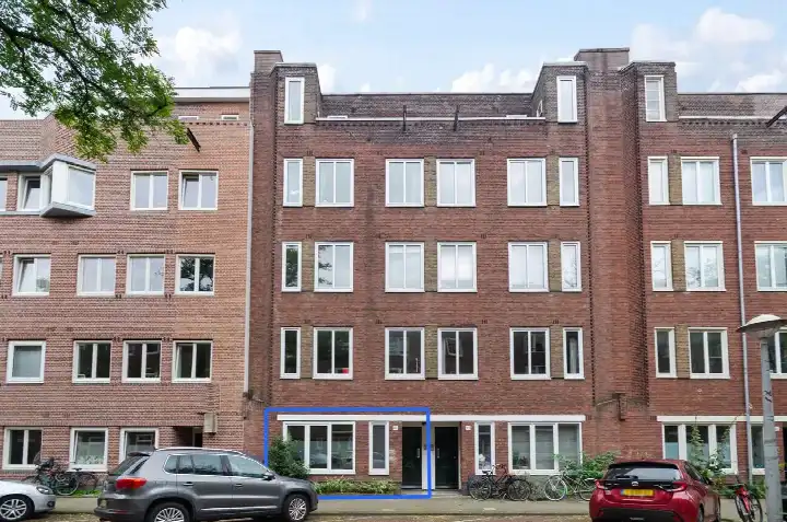
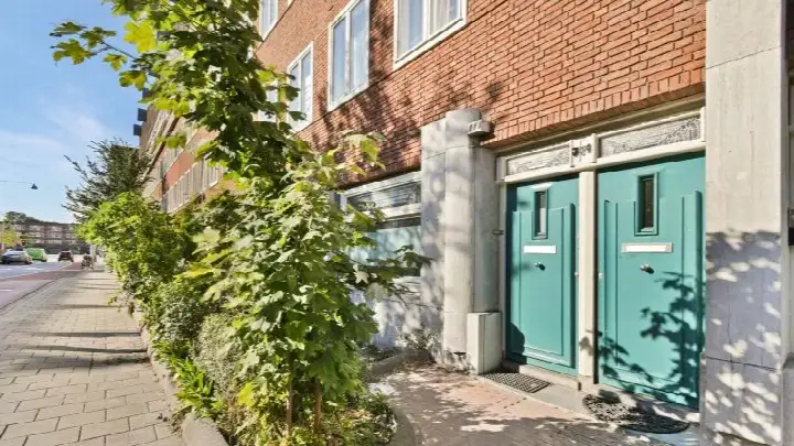
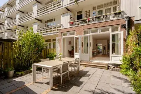
Bartholomeus Diazstraat 20H
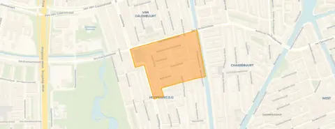
Balboaplein en omgeving, Amsterdam
 Area
AreaA 1925 apartment in Amsterdam West
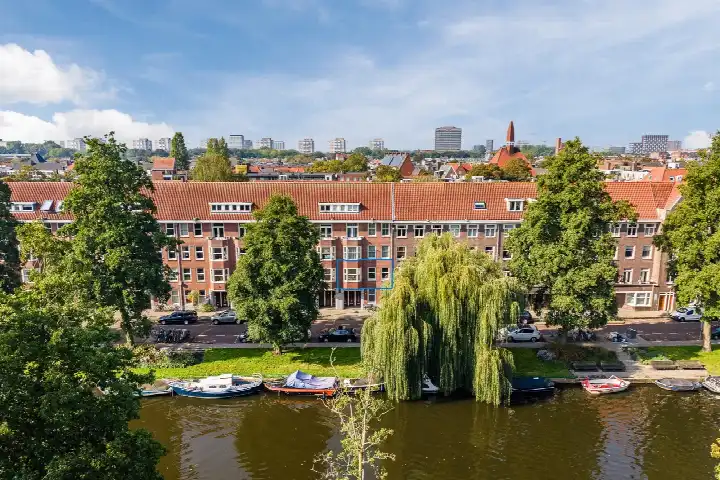
This apartment on the Bartholomeus Diazstraat sits in the Balboaplein e.o. neighbourhood, part of the Hoofdweg en omgeving district in Amsterdam. The home dates from 1925 and is offered for €625,000. The asking price is on the high side compared with the neighbourhood average, coming in 21% above the average asking price of €515,211 in this area. For context, the average asking price per square metre in the neighbourhood is €8,779, while this home works out at €13,021 per square metre based on the BAG registered floor area. The listing does not state the energy label. You can compare with other [apartments in Amsterdam].
The home itself
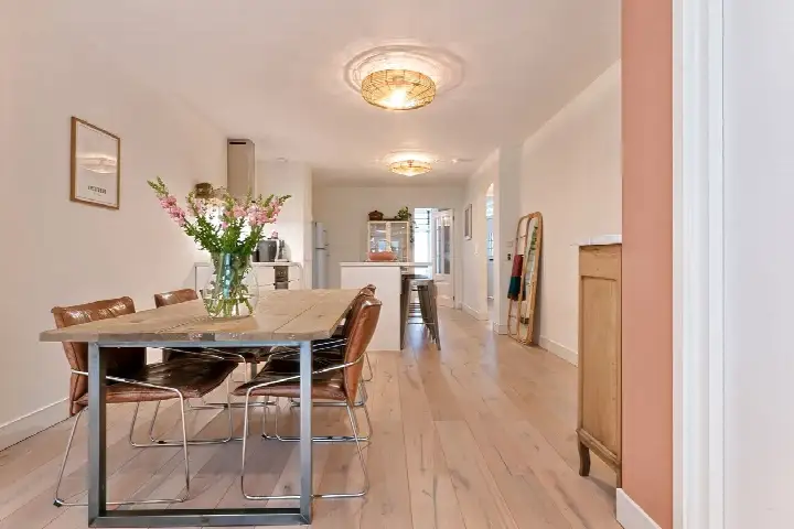
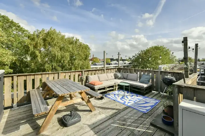
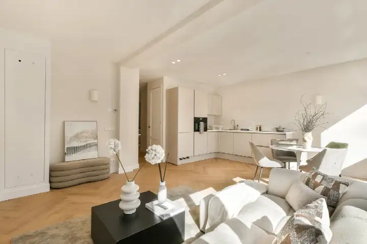
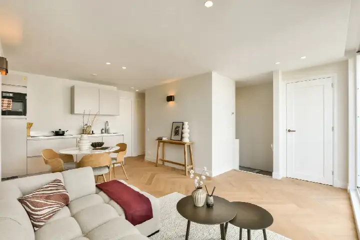
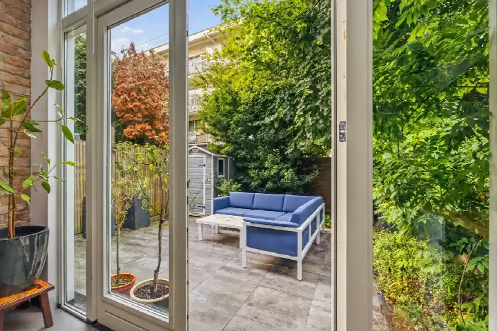
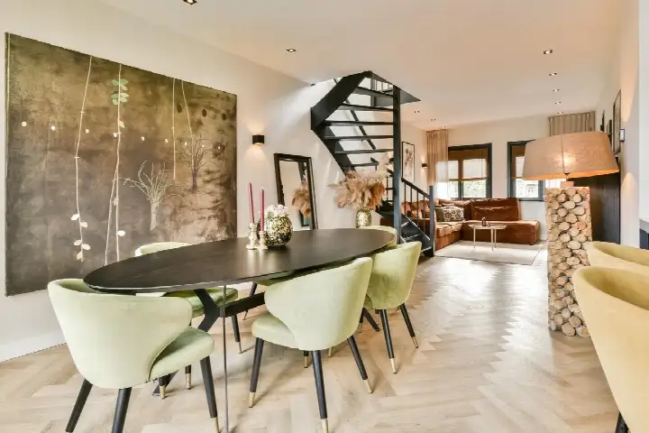
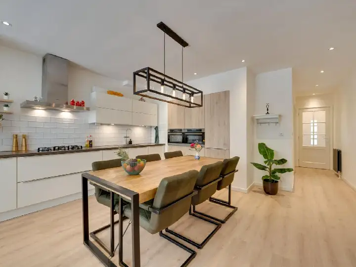
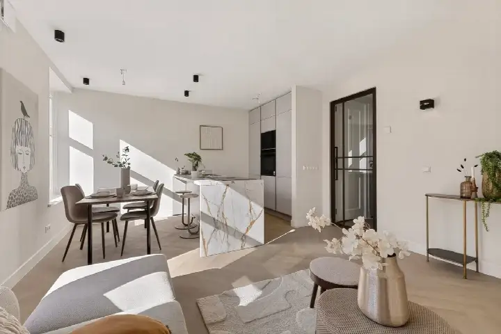
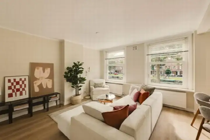
The listing gives no details on the layout, rooms, outdoor space or installations. What is known is that the apartment was built in 1925 and has a living area of 48 square metres according to the BAG registration. The agent has not published further information about the interior or any features.
Balboaplein e.o.
Residents of the district give the area an average score of 7.82, based on five reviews. One resident describes it as a "nice up-and-coming neighbourhood with lots of green", noting the Rembrandtpark around the corner and easy access by bus or tram. Another says there are many shops where you can get almost everything, that it is reasonably clean and tidy, and that traffic is fairly quiet. This resident also mentions there is little greenery, which they personally find a shame, and that they always feel safe, even in the evenings. The neighbourhood has around 2,950 inhabitants, with 54% living alone. The area is part of [the Balboaplein e.o. neighbourhood].
Amenities and transport
The daily routine is well covered here. The Dirk and Albert Heijn supermarkets are just around the corner, with an Aldi a couple of streets away. The Joop en Willy Westerweel primary school is on your doorstep, and the Islamitische basisschool Al Maes is just around the corner. The Service Apotheek Mercator pharmacy is on your doorstep, while the Integrale Huisartsenpraktijk West GP practice is a ten-minute walk. The Marco Polostraat tram stop is on your doorstep, served by lines 13, 18 and 247, and the Mercatorplein stop is just around the corner with lines 7, 13, 15, 18, 247 and N82. Amsterdam Lelylaan station is about 2.7 kilometres away. This all sits within [the municipality of Amsterdam].
WOZ and address data
No WOZ value is stated in the listing. The address-level risk data from public sources indicates a medium foundation risk, which is an area-level indication rather than an inspection of this specific home. The property was built before 1970, and 100% of the buildings in this postcode area date from before that year. Noise levels from road, rail and air traffic are all below the relevant standards. For climate, the pluvial flooding risk at heavy rain is elevated, while the current flood risk is low and the heat stress indication is medium, rising to elevated by 2050. These are area-level indications from the Atlas Leefomgeving, KCAF and Klimaateffectatlas.
Source
At the time of writing the home is offered only via Your Home Makelaars 't Gooi.
This summary was generated with AI and may contain errors. Always verify the details with the provider.
Features
Details of this home
Transfer
Price
Energy
 Save up to € 400 on your energy billCompare now
Areas and volume
 Insure your home and belongingsGet insured
Layout
Construction
Outdoor space
The WOZ value is set annually by the municipality with 1 January as its reference date, and therefore lags the market by about a year. It is an estimated market value, not a sale price.
Frequently asked questions
About Bartholomeus Diazstraat 20H, Amsterdam
How does the asking price compare with other homes in the neighbourhood?
The asking price of €625,000 is 21% above the average asking price of €515,211 in the Balboaplein e.o. neighbourhood. The average asking price per square metre in the area is €8,779, while this apartment works out at €13,021 per square metre based on the BAG registered floor area of 48 square metres. The price verdict is that it is on the high side compared with the neighbourhood average.
What is known about the layout and features of this apartment?
The listing does not state any details about the layout, number of rooms, bedrooms or bathrooms, nor about outdoor space or installations. The only property detail given is the living area of 48 square metres according to the BAG registration. The year of construction is 1925.
Why are there no property details in this listing?
The agent has not published details such as the energy label in the listing. The address itself is complete, so the location and neighbourhood information is accurate. The living area of 48 square metres comes from the BAG registration.
What is the foundation risk for this address?
The foundation risk indication for this address is medium, based on area-level data from the KCAF. This is an indication at area level, not an inspection of this specific home. The property was built in 1925, before 1970, and 100% of the buildings in this postcode area date from before that year. No further foundation details are given.
What are the noise levels like at this address?
The address-level data shows road traffic noise at 45 dB Lden, rail noise at 32 dB Lden and aircraft noise at 46 dB Lden, all below the relevant noise standards. These figures come from public data sources and are indications at area level rather than measurements at the property itself. The reference years are 2022 for road and air traffic and 2023 for rail.
What supermarkets and schools are nearby?
The Dirk and Albert Heijn supermarkets are just around the corner, with an Aldi a couple of streets away. The Joop en Willy Westerweel primary school is on your doorstep, and the Islamitische basisschool Al Maes is just around the corner. The Rosa Boekdrukker school is a couple of streets away. There are 143 supermarkets and 185 schools within five kilometres.
How is the public transport in this area?
The Marco Polostraat tram stop is on your doorstep, served by lines 13, 18 and 247. The Mercatorplein stop is just around the corner with lines 7, 13, 15, 18, 247 and N82. Amsterdam Lelylaan train station is about 2.7 kilometres away. The nearest hospital, Reade (JBI), is a ten-minute walk.
What do residents say about the district?
Residents of the district give an average score of 7.82, based on five reviews. One resident describes it as a nice up-and-coming neighbourhood with lots of green, mentioning the Rembrandtpark around the corner and easy access by bus or tram. Another says there are many shops, that it is reasonably clean and tidy, and that traffic is fairly quiet, though they note there is little greenery. This resident also says they always feel safe, even in the evenings.
What is the climate risk for this address?
The climate risk data indicates an elevated pluvial flooding risk at heavy rain, while the current flood risk is low and the flood risk for 2050 is also low. The heat stress indication is medium at present, rising to elevated by 2050. These are area-level indications from the Klimaateffectatlas, not an assessment of this specific property.