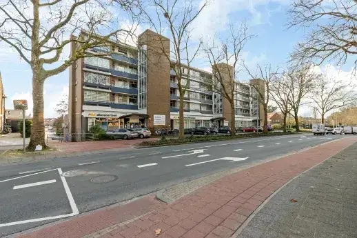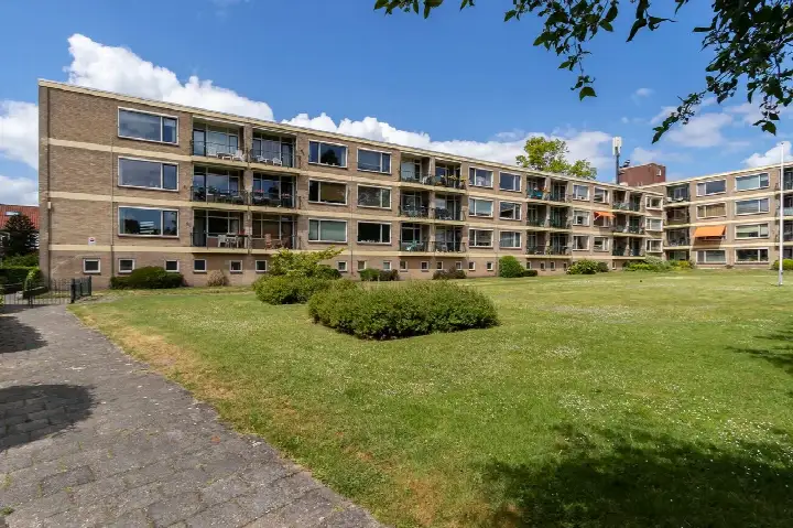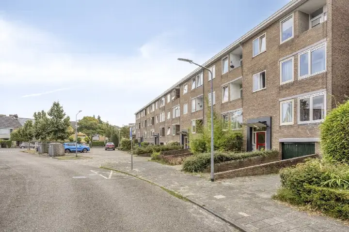





A bright apartment in Boomberg
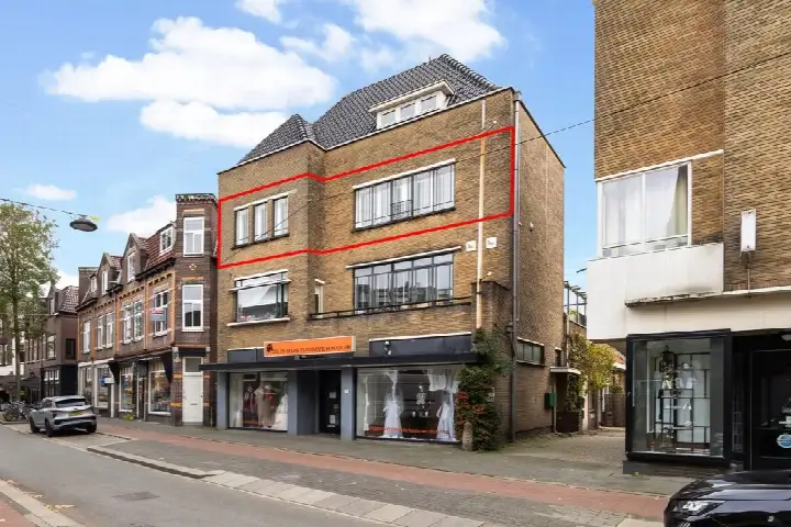
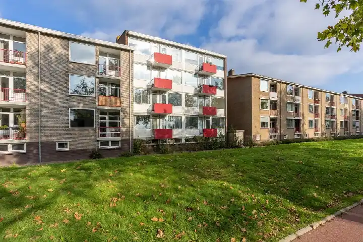
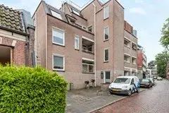
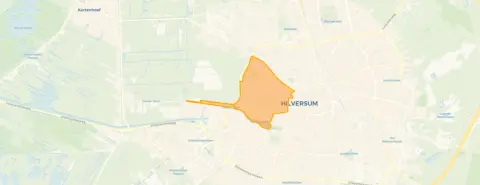
This apartment on the fourth floor of a 1966 building sits in the Boomberg neighbourhood of Hilversum, a part of town where the streets are lined with post-war housing and the atmosphere is calm and residential. The asking price of €299,000 is keen compared with the average asking price in the neighbourhood, which comes in at €828,053. For context, apartments in Hilversum are listed at an average of €5,737 per square metre, while this home is priced at €3,987 per square metre according to the agent's listing.
Inside the home
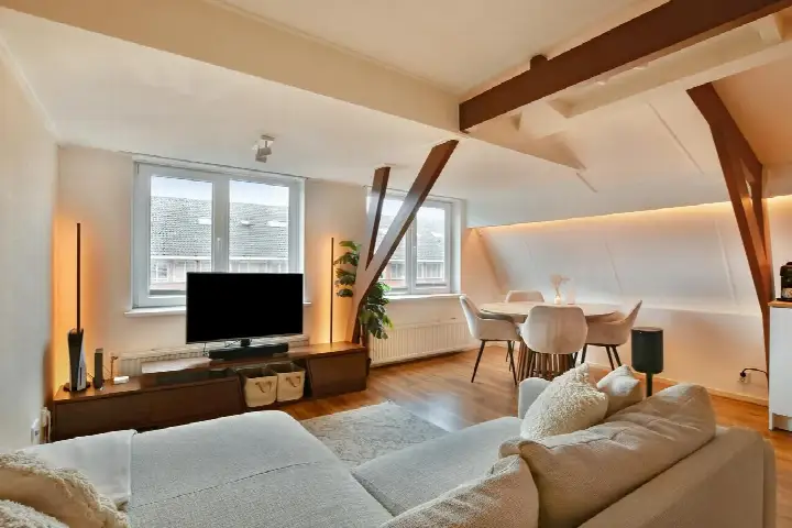
The apartment has three rooms, including two bedrooms and one bathroom, all spread over a single floor. The living area is 75 square metres according to the agent, while the BAG registration records 72 square metres. There is a balcony, and the home is set in a residential area with an unobstructed view. The insulation is described as partially double glazed, and the home is heated by block heating. The monthly homeowners' association fee is €350.
Life in Boomberg
Boomberg is a neighbourhood where older residents make up a significant share of the population, with 29% aged 65 or over, and where single-person households account for 45% of all households. Residents across the municipality of Hilversum give their living environment an average score of 7.61, based on 31 reviews. One resident describes the area as "busy but charming," while another notes that "within a reasonable distance you have supermarkets or the train station" and that it is "easily accessible from the motorway." A third resident mentions that it is a "safe neighbourhood, occasionally some nuisance from young people." For more on what it is like to live here, see the Boomberg neighbourhood.
Amenities and transport
Daily errands are easy from this address. The GP practice MC de Vaart, Praktijk Brooks is on your doorstep, and the BENU pharmacy is a ten-minute walk away. For groceries, the SPAR express is just around the corner, with an Albert Heijn a ten-minute walk in the other direction. The A. Roland Holst College secondary school is a couple of streets away, and the Vondelschool primary school is a ten-minute walk. Bus stops at Schuttersweg and Loosdrechtseweg, served by lines 1 and 121, are just around the corner, and Hilversum train station is about two kilometres away. The municipality of Hilversum as a whole offers a range of amenities within easy reach.
WOZ and address data
No WOZ value is available for this property in the data. According to public risk data at the address level, the noise from road traffic is measured at 63 dB Lden, which is above the noise standard, while railway and aircraft noise are below their respective standards. The foundation risk indication is low, based on the home being built before 1970 and the soil type being sand. For climate risks, the indication for pluvial flooding at heavy rain is medium, while the current flood risk is low and the heat stress indication is medium for 2050. These are area-level indications, not an inspection of this specific home.
Source
At the time of writing, the home is offered only via MOZAIEK MAKELAARDIJ.
This summary was generated with AI and may contain errors. Always verify the details with the provider.
Features
Details of this home
Transfer
Price
Energy
 Save up to € 400 on your energy billCompare now
Areas and volume
Layout
Construction
Outdoor space
Frequently asked questions
About Vaartweg 173C, Hilversum
How does the asking price compare with other homes in Boomberg?
The asking price of €299,000 is 64% below the average asking price in the neighbourhood, which is €828,053. On a per-square-metre basis, the price is 31% below the neighbourhood average. The price verdict is described as keen, meaning it is low compared with the average asking price in the area. Note that the average is influenced by a wide range of properties, from €225,000 to €2,150,000.
What is the layout of this apartment?
The apartment has three rooms in total, including two bedrooms and one bathroom, all on a single floor. The living area is 75 square metres according to the agent, while the BAG registration records 72 square metres. There is a balcony, and the home is located on the fourth floor with an unobstructed view. The volume of the home is 247 cubic metres.
What is the energy label and what does it mean for costs?
The energy label is F. This is a relatively low label, so you can expect higher energy costs compared with homes with a more efficient label. The home has partially double glazing and is heated by block heating. The energy label is based on the building's characteristics and does not say anything about the condition of the home itself.
What is the homeowners' association fee?
The monthly homeowners' association fee is €350. This fee is paid by the owner of the apartment and covers the costs of the shared parts of the building, such as maintenance of the common areas and the building's exterior. The fee is set by the homeowners' association and can vary from year to year depending on the budget and any planned maintenance.
What is the noise situation around this address?
According to public risk data at the address level, the noise from road traffic is measured at 63 dB Lden, which is above the noise standard. Railway noise is measured at 25 dB Lden and aircraft noise at 45 dB Lden, both below their respective standards. These are area-level indications based on public data, not measurements taken at the home itself.
What is the foundation risk for this home?
The foundation risk indication for this address is low. This is based on the home being built before 1970, specifically in 1966, and the soil type being sand. This is an area-level indication from public data, not an inspection of the foundation of this specific home. The actual condition of the foundation would need to be assessed separately.
What are the climate risks for this location?
The climate risk indications for this address are as follows: pluvial flooding at heavy rain is medium, the current flood risk is low, and the flood risk in 2050 is also low. For heat stress, the current indication is low, but for 2050 it is medium. These are area-level indications from the Climate Impact Atlas, not a property-specific assessment.
What supermarkets are nearby?
The nearest supermarket is a SPAR express, located about 200 metres away, which is just around the corner. An Albert Heijn is about 960 metres away, and another SPAR is about 990 metres away. A Lidl is about 1.2 kilometres away. In total, there are 26 supermarkets within five kilometres of this address.
What schools are in the area?
The nearest school is the Gooise Scholenfederatie, a secondary school with locations including the A. Roland Holst College, about 400 metres away. The Vondelschool primary school is about 630 metres away, and the A. Roland Holst College itself is also about 630 metres away. The Gemeentelijk Gymnasium Hilversum is about 670 metres away. There are 64 schools within five kilometres.
How is the public transport connection?
The nearest bus stops are Hilversum, Schuttersweg and Hilversum, Loosdrechtseweg, both about 330 metres away, served by bus lines 1 and 121. Another stop, Hilversum, Zeverijnplantsoen, is about 450 metres away and served by line 1. Hilversum train station is about 1.9 kilometres away, which is roughly a 25-minute walk or a short bus ride.