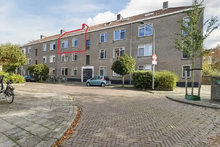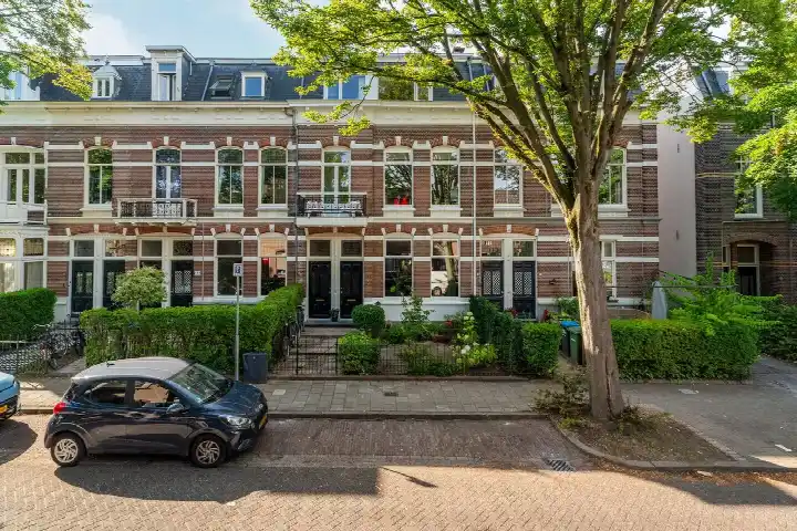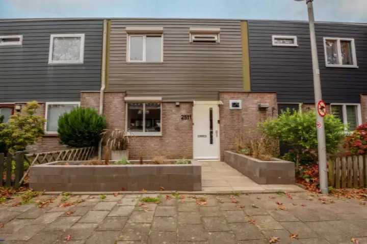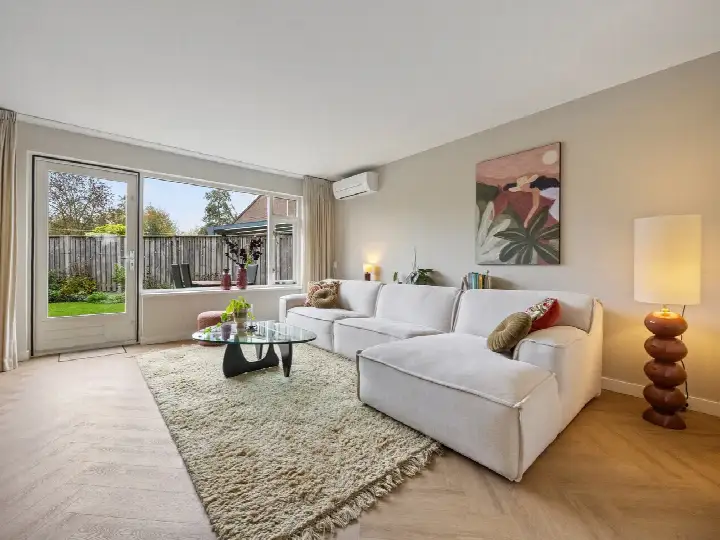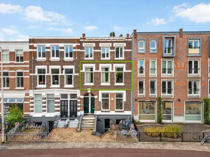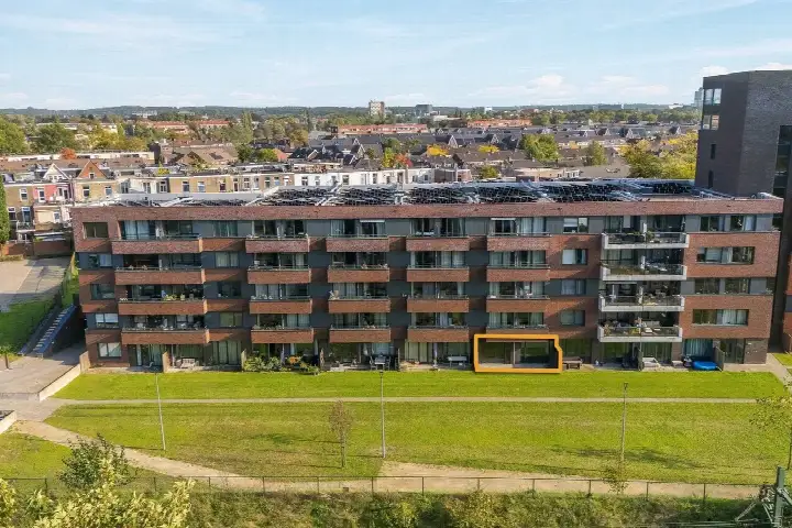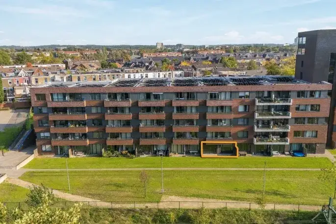





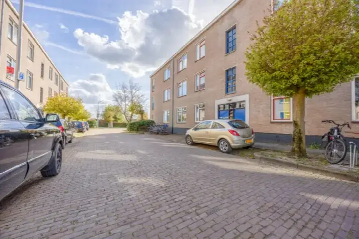

A classic apartment in lively Bottendaal
Van der Kempstraat 12 sits in Bottendaal, a neighbourhood in Nijmegen-Oost that residents describe as lively but relaxed. With an address density of over 4,300 per square kilometre, this is a very strongly urban area where much of daily life happens on foot or by bike. The apartment dates from 1948 and carries an energy label C. At €445,000, the asking price sat 49% below the average last known asking price of €873,638 for apartments in Nijmegen, though the median asking price in the neighbourhood was €375,000. This home has not been online since 30 September 2026.
The home itself
This three-room apartment had two bedrooms and a living area of 64 m² according to the agent, while the BAG registration records 63 m². The agent listed the property as an apartment. It had been on the market since 28 May 2026.
Bottendaal, a neighbourhood with character
Residents give Bottendaal an average score of 7.48, based on three reviews. One resident says: "I have a good experience with my neighbourhood. Everything is within walking or cycling distance. Lots of students and young families, very nice. It's always lively, but not (too) busy. Just a relaxed atmosphere." Another adds: "A cosy neighbourhood with plenty to do. Close to the centre but not too busy, nice people living there and the terraces are always lively." One reviewer notes that it can feel a bit unsafe in the evening, partly because of homeless people moving out of the city centre. The neighbourhood counts around 5,000 residents, with a high share of single-person households. For more context, see the Bottendaal neighbourhood.
Amenities and transport
Daily errands are easily done around the corner. A PLUS supermarket is a couple of streets away, with another PLUS and an Aldi nearby. Basisschool de Driemaster is just around the corner, and the Meander vrijeschool is a five-minute walk. The GP practice Gezondheidscentrum Bottendaal and Service Apotheek Sint Anna are both within a five-minute walk. Bus stop Spoorkuil is just around the corner with lines 6, 9, 12, 15, 58, 383, 406 and 483, and Nijmegen train station is a ten-minute walk. The municipality of Nijmegen offers all this within a compact urban setting, as described on the municipality of Nijmegen.
WOZ and address data
Public risk data at address level indicates a medium foundation risk for this area, based on the fact that the building dates from before 1970 and the postcode area falls within a KCAF attention zone. These are area-level indications, not an inspection of this specific home. Noise from road traffic is measured at 51 dB Lden, above the noise standard, while railway and industrial noise stay below their standards. Pluvial flooding risk is low, as is current flood risk, though heat stress is expected to rise to medium by 2050.
Source
When this home was still on the market, it was offered only via Kolmeijer Makelaars.
This summary was generated with AI and may contain errors. Always verify the details with the provider.
Features
Details of this home
Transfer
Price


Construction
Frequently asked questions
About Van der Kempstraat 12, Nijmegen
How did the asking price compare to other homes in Bottendaal?
The asking price of €445,000 was 49% below the average asking price of €873,638 in the neighbourhood. The median asking price in Bottendaal was €375,000, so this apartment sat above that figure. The average price per square metre in the neighbourhood was €13,138, while this home was listed at €6,953 per m² based on the agent's floor area of 64 m².
What is the layout of this apartment?
The apartment has three rooms in total, including two bedrooms. The agent listed the living area at 64 m², while the BAG registration records 63 m². The property is described as an apartment and dates from 1948. It had been listed for sale since 28 May 2026.
What do residents say about living in Bottendaal?
Residents give Bottendaal an average score of 7.48 out of 10, based on three reviews. One resident describes the neighbourhood as lively but relaxed, with everything within walking or cycling distance and lots of students and young families. Another calls it cosy, close to the centre but not too busy, with lively terraces. One reviewer mentions it can feel a bit unsafe in the evening.
What are the noise levels around this address?
Road traffic noise at this address is measured at 51 dB Lden, which is above the noise standard. Railway noise is 43 dB Lden and industrial noise is 48 dB Lden, both below their respective standards. These figures come from public data at address level and are area-level indications rather than measurements taken at the property itself.
What is the foundation risk for this property?
The foundation risk indication for this address is medium. This is based on the building being constructed before 1970, specifically in 1948, and the postcode area being a KCAF attention zone where 100% of properties were built before 1970. This is an area-level indication from public data, not an inspection of this specific home.
What supermarkets and schools are nearby?
A PLUS supermarket is about 520 metres away, with another PLUS and an Aldi within 620 metres. Basisschool de Driemaster is 312 metres away, and the Meander vrijeschool for primary education is 440 metres away. For secondary education, Karel de Grote College is 755 metres from the apartment.
How is the public transport connection?
Bus stop Spoorkuil is 269 metres away with lines 6, 9, 12, 15, 58, 383, 406 and 483. The Groenestraat stop is 434 metres away with lines 6, 383, 406, 483, 683 and 810. Nijmegen train station is 940 metres away, about a ten-minute walk.
What was the energy label and what did it mean for costs?
The apartment has energy label C. The home was built in 1948, which is typical for this neighbourhood where 83.3% of homes date from before 1945. No insulation details were stated in the listing.
What is the flood risk for this area?
Pluvial flooding risk from heavy rain is low, and current flood risk is also low. By 2050, flood risk is expected to remain low. Heat stress is currently low but is projected to become medium by 2050. These are area-level climate indications from public data, not assessments of this specific property.