Weijereind 1
Voorste Heikant en Weijereind, Reusel-De Mierden
 Area
AreaA spacious detached home with a large plot
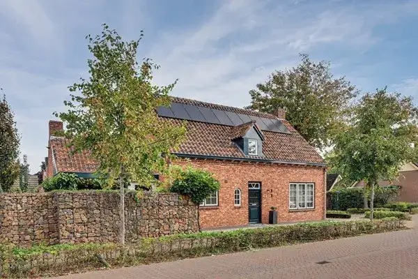
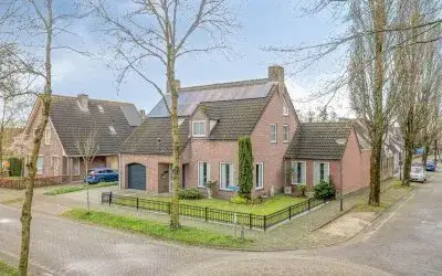
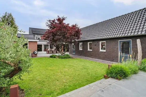
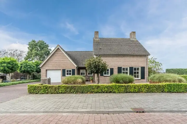
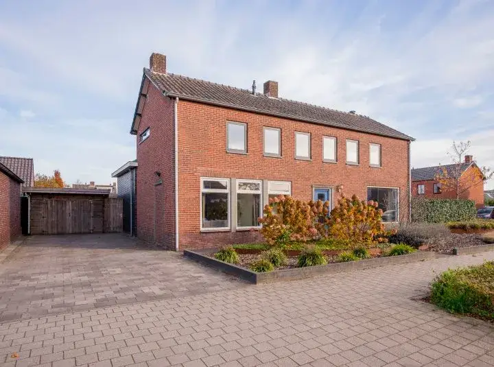
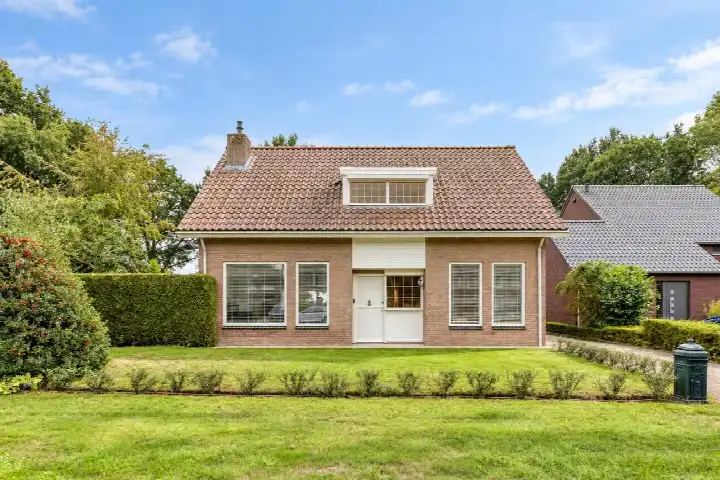
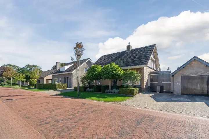
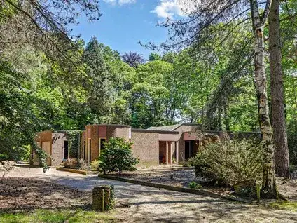
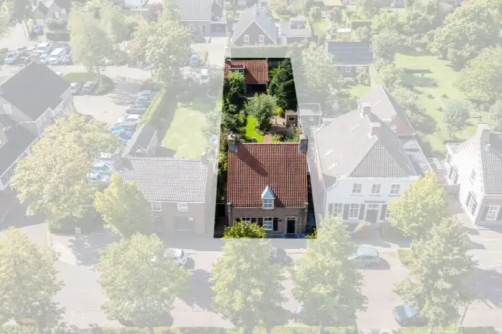
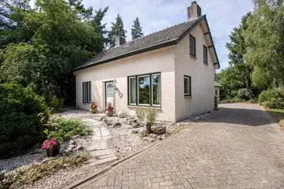
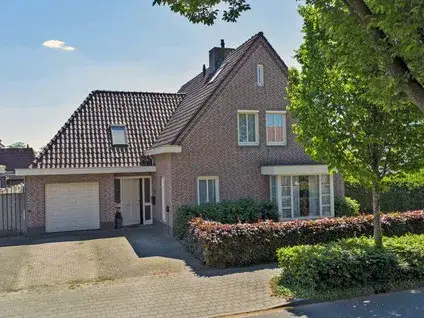
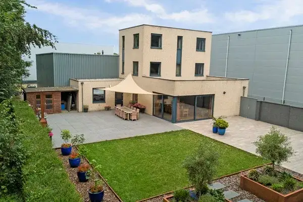
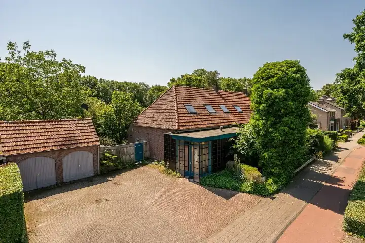
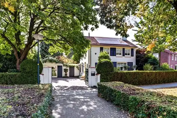
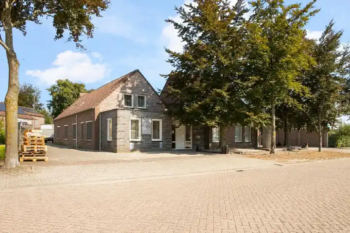
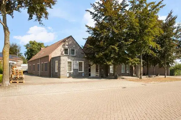
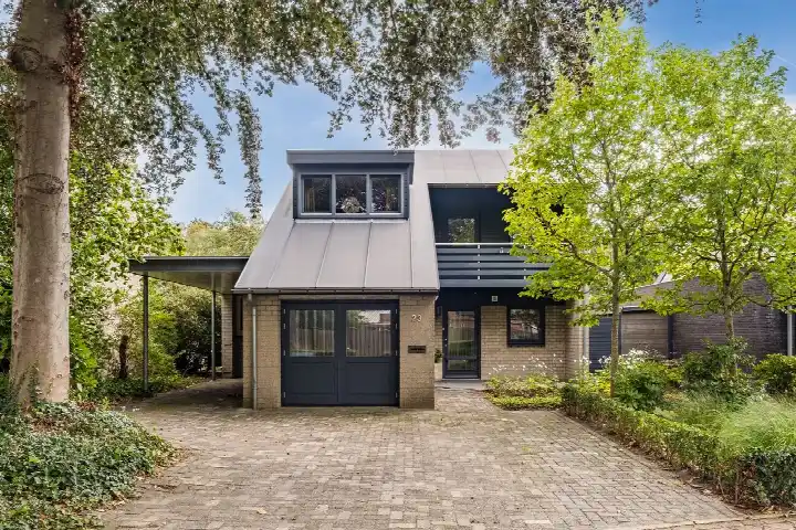
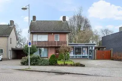
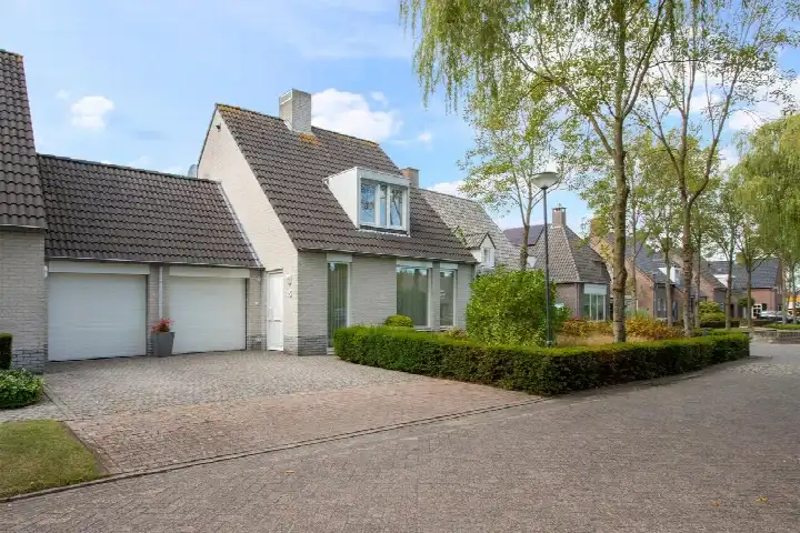
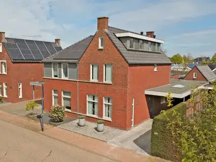
This detached house on Weijereind in Reusel sits on a generous plot of 6350 m², giving you plenty of outdoor space. Built in 1910, the home has a floor area of 338 m² and an energy label G, the least efficient label, so expect high heating costs. The asking price of €950,000 is on the high side compared to other detached houses in Reusel-De Mierden.
The Voorste Heikant en Weijereind neighbourhood
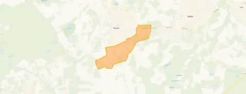
The Voorste Heikant en Weijereind neighbourhood is a quiet, rural area with 425 residents. Most households are families with children, and the average household size is 2.9 people. The area has a low address density of 429 addresses per km², making it very spacious. There are no resident reviews available for this neighbourhood.
Life on the street
For daily groceries, Aldi is just around the corner, while Jumbo and Albert Heijn are a ten-minute walk away. Basisschool De Leilinde is also just around the corner, and De Torelaar and Openbare Basisschool De Klimop are within a ten-minute walk. The nearest secondary school is 5.9 km away, so a longer trip is needed for older children. The municipality of Reusel-De Mierden offers a range of amenities, including a GP practice and a restaurant within walking distance.
Source and availability
At the time of writing, the home is listed through several channels, including ROIJMANS MAKELAARDIJ, Funda and Pararius.
This summary was generated with AI and may contain errors. Always verify the details with the provider.
Features
Details of this home
Transfer
Price
Energy
 Save up to € 400 on your energy billCompare now
Areas and volume
 Insure your home and belongingsGet insured
Layout
Construction
Outdoor space
Frequently asked questions
About Weijereind 1, Reusel
Is €950,000 a fair price for this home?
The asking price of €950,000 is on the high side compared to other detached houses in Reusel-De Mierden. The home has a large plot of 6350 m² and a floor area of 338 m², but the energy label G means heating costs will be high. Whether it is fair depends on your budget and how much you value the space and rural setting.
What does energy label G mean?
Energy label G is the least efficient label on the scale from A to G. It means the home's energy performance is low, so you can expect high heating and energy costs. The label is an official registration from EP-Online and does not directly indicate the condition of insulation or installations.
How far is the nearest train station?
The nearest train station is 26.2 km away, so this home is not well connected by rail. You would need a car or bus for longer journeys. The area is rural, so public transport options are limited.
What schools are nearby?
There are several primary schools within walking distance: Basisschool De Leilinde at 830 m, De Torelaar at 1.4 km, and Openbare Basisschool De Klimop at 1.6 km. For secondary education, the nearest school is 5.9 km away, so a longer commute is required.
What supermarkets are close by?
Aldi is just 833 m away, making it easy to pop out for groceries. Jumbo and Albert Heijn are both about a ten-minute walk (1.1 km). There are also other supermarkets within 5 km, so you have several options for your weekly shop.
Is the neighbourhood safe?
The neighbourhood recorded 13 total crimes in the latest data, which is low for an area with 425 residents. The rural setting and low address density contribute to a quiet, safe environment.