




Rondehoep West 52
Verspreide huizen in de Rondehoeppolder · 1191 KM Ouderkerk Aan De Amstel
A riverside retreat in the Rondehoeppolder
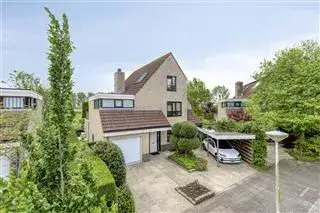
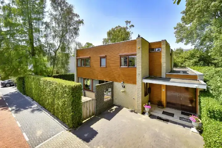
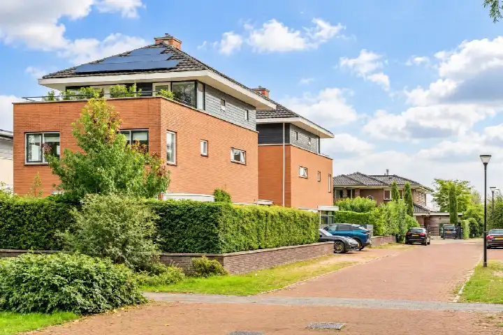
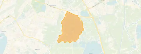
This semi-detached house sits on the Rondehoep West, a quiet road along the water in the Verspreide huizen in de Rondehoeppolder, part of Ouderkerk Aan De Amstel. The setting is rural, outside the built-up area, with open views and direct access to the water. The asking price of €2,500,000 is 17% above the neighbourhood average asking price of €2,133,333, and it is the most expensive of the three homes currently for sale in this area. For context, the average asking price per m² in the neighbourhood is €6,066, and the average asking price for a home here is €2,133,333. This home is one of the [semi-detached houses in Ouder-Amstel]( /koopwoningen/ouder-amstel/twee-onder-een-kapwoningen/ ) currently on the market.
The home itself
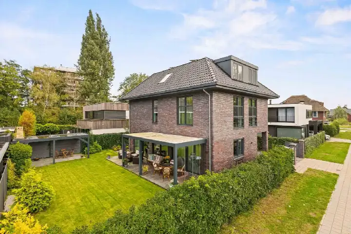
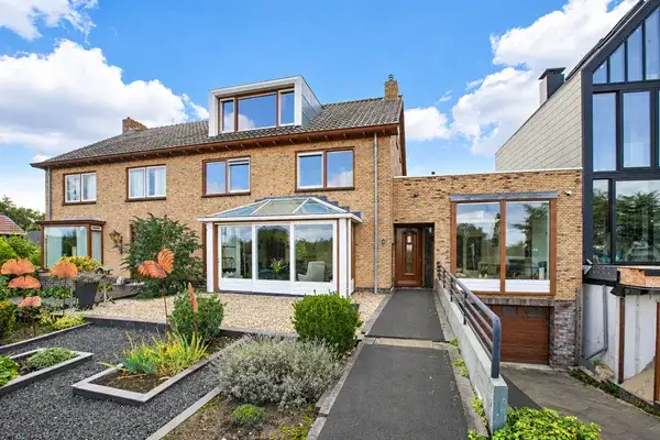
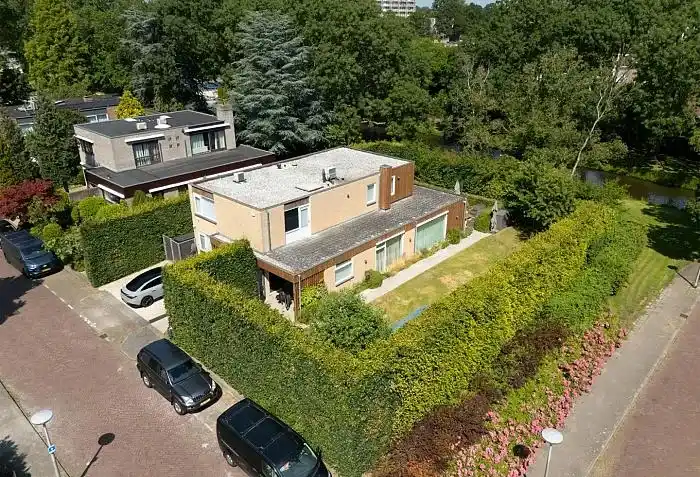
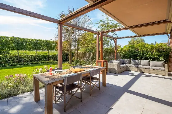
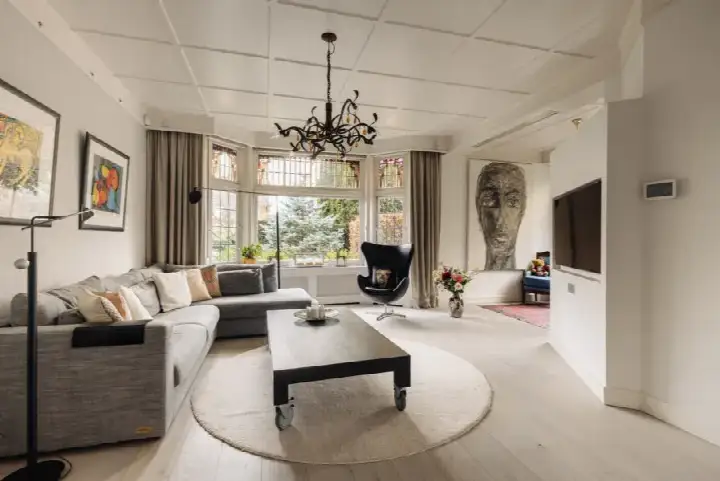
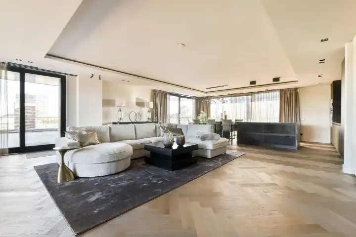
Built in 1920, this house offers 10 rooms, including 5 bedrooms and 3 bathrooms, spread over 2 floors. The living area is listed as 332 m² according to the BAG registration, while the agent lists 460 m². The plot is 945 m² per the BAG registration, but the agent states 1,775 m². The home has a garden around the property, a detached wooden garage, and is in full ownership. According to the agent, the insulation includes roof, wall, and floor insulation, and the heating is provided by an open fireplace, a pellet stove, and partial underfloor heating. The energy label is A, which is an efficient label.
The Verspreide huizen in de Rondehoeppolder
This is a small, scattered settlement in the polder, with about 355 residents. The community is close-knit, though one resident notes it is not very large or well-organised, and mentions that more lampposts could improve safety. Another resident says it is always cosy and very safe, with many children living here. Across the district, residents give an average score of 7.88, based on nine reviews. The housing stock is mixed, with about half of the homes built before 1945 and half after 2010. Around 77% of homes are owner-occupied. For more on the area, see [the Verspreide huizen in de Rondehoeppolder neighbourhood]( /buurt/verspreide-huizen-in-de-rondehoeppolder-ouder-amstel/ ).
Amenities and transport
The nearest supermarket, a PLUS, is just around the corner, with an Albert Heijn, Jumbo, and Lidl a couple of streets away. For primary education, Basisschool De Zwaluw is a five-minute walk, and de Horizon is also nearby. The GP practice, Huisartsenpraktijk Amstelveen, and Apotheek Marne are both a couple of streets away, while Ziekenhuis Amstelland is a ten-minute walk. For public transport, the bus stop Nesserlaan is on your doorstep, served by lines 149 and OVoM. The nearest train station, Amsterdam Holendrecht, is about 6 km away. This home is part of [the municipality of Ouder-Amstel]( /gemeente/ouder-amstel/ ).
WOZ and address data
The WOZ value is not stated in the available data, so no comparison with the asking price or historical development can be made. Regarding address risks, the noise level from road traffic is 55 dB Lden, which is above the noise standard, while aircraft noise is 47 dB Lden, below the standard. The foundation risk indication is medium, based on the home being built in 1920 on peat soil, with a possible wooden pile or shallow foundation. In this postcode area, 53% of buildings were constructed before 1970, and 2% of properties have an elevated risk of pile rot. These are area-level indications, not an inspection of this specific home. The pluvial flooding risk is elevated, and the flood risk is medium for both the current situation and 2050.
Source and agent
At the time of writing, this home is offered via multiple channels, including Sotheby's Realty Makelaars Nederland and Sotheby's Realty Makelaars Amsterdam on Funda.
This summary was generated with AI and may contain errors. Always verify the details with the provider.
Features
Details of this home
Transfer
Price
Energy
 Save up to € 400 on your energy billCompare now
Areas and volume
Layout
Construction
Outdoor space
Frequently asked questions
About Rondehoep West 52, Ouderkerk Aan De Amstel
How does the asking price compare to other homes in the neighbourhood?
The asking price of €2,500,000 is 17% above the neighbourhood average asking price of €2,133,333. It is the most expensive of the three homes currently for sale in this area, with prices ranging from €1,400,000 to €2,500,000. The average asking price per m² in the neighbourhood is €6,066, based on the agent's listed floor area.
What is the layout of this home?
According to the agent, this semi-detached house has 10 rooms, including 5 bedrooms and 3 bathrooms, spread over 2 floors. The living area is listed as 460 m² by the agent, while the BAG registration states 332 m². The plot is 1,775 m² per the agent, but 945 m² per the BAG registration. The home has a garden around the property and a detached wooden garage.
What is the energy label and what does it mean for costs?
The energy label is A, which is an efficient label. This means the home is likely to have relatively low energy costs compared to less efficient labels. The agent also states that the home has roof, wall, and floor insulation, and heating is provided by an open fireplace, a pellet stove, and partial underfloor heating.
What is the foundation risk for this property?
The foundation risk indication is medium, based on area-level data. The home was built in 1920 on peat soil, which may mean wooden piles or a shallow foundation. In this postcode area, 53% of buildings were constructed before 1970, and 2% of properties have an elevated risk of pile rot. This is an indication for the area, not an inspection of this specific home.
What are the noise levels around this home?
The road traffic noise level is 55 dB Lden, which is above the noise standard. Aircraft noise is 47 dB Lden, which is below the standard. These figures are based on public data from 2022 and are area-level indications, not measurements at the property itself.
What supermarkets and schools are nearby?
The nearest supermarket is a PLUS, about 1.5 km away, with an Albert Heijn, Jumbo, and Lidl within about 2 km. For primary education, Basisschool De Zwaluw is about 1.6 km away, and de Horizon is about 1.7 km away. There are also several other primary schools within 2 km.
How far is the nearest public transport stop?
The nearest bus stop is Nesserlaan, about 328 metres away, served by lines 149 and OVoM. Another stop, De Zwarte Kat, is about 496 metres away with the same lines. The nearest train station is Amsterdam Holendrecht, about 6 km from the home.
What is the neighbourhood like according to residents?
Residents of the district give an average score of 7.88, based on nine reviews. One resident says the neighbourhood is small with different types of houses and nice people, but notes the community is not very large and safety could be improved with more lampposts. Another resident says it is always cosy and very safe, with many children living there.
What is the flood risk for this area?
The pluvial flooding risk is elevated, meaning there is a higher chance of flooding from heavy rain. The flood risk from rivers or the sea is medium for both the current situation and for 2050. These are area-level indications based on public climate data, not an assessment of this specific property.