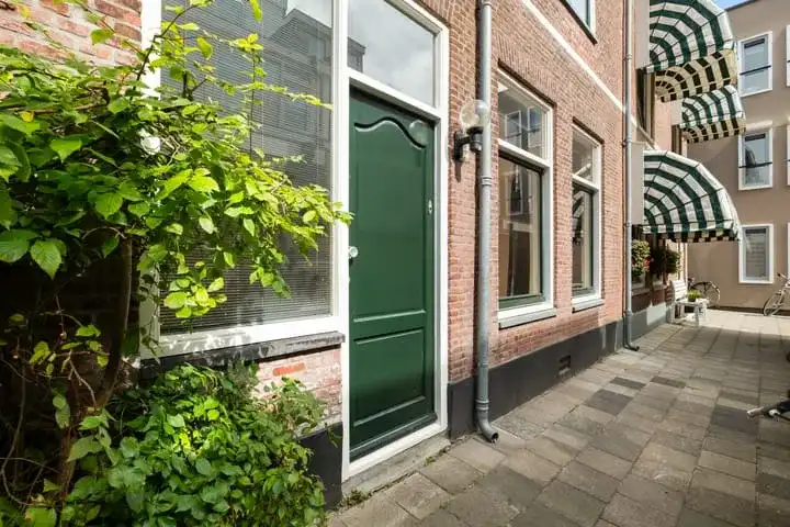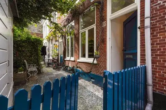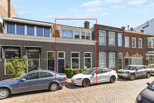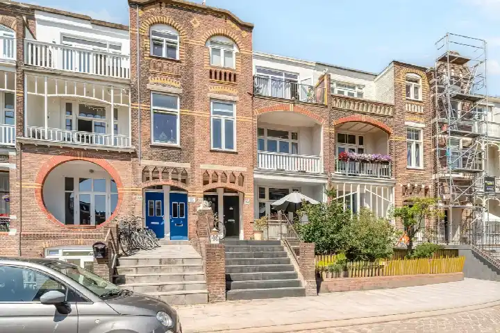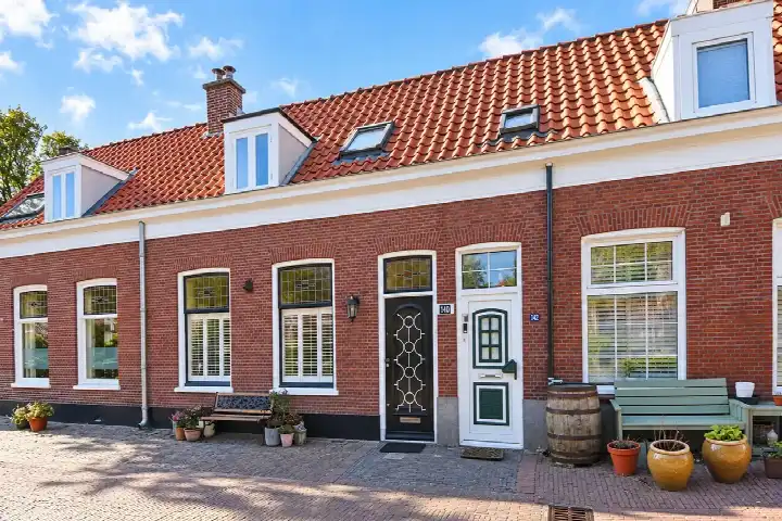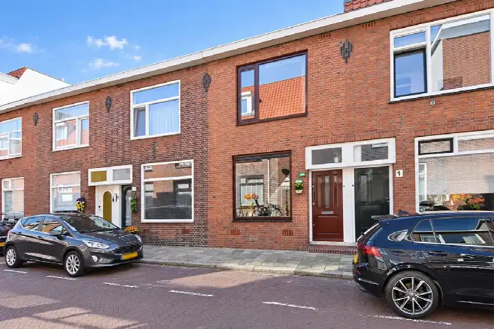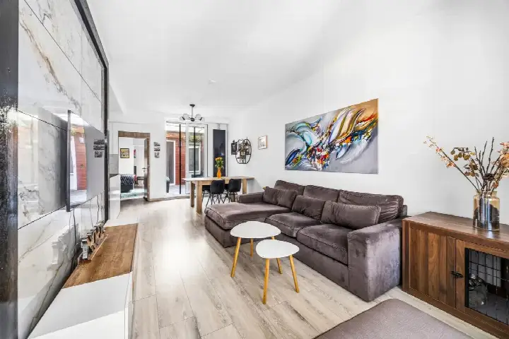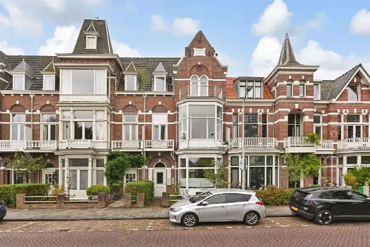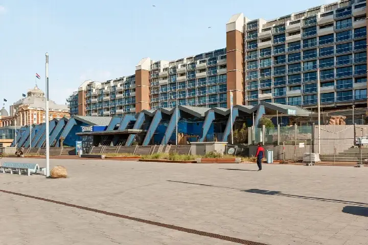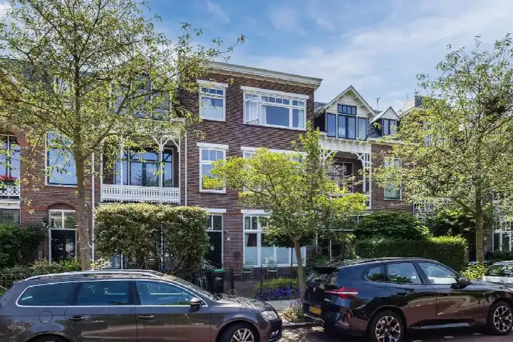





A terraced house in the Rijslag
This 1923 terraced house sits in the Rijslag, a small neighbourhood within Scheveningen, in the municipality of Den Haag. With 1,765 residents, it is a compact community where 54% of households are single-person and 23% have children. The asking price of €435,000 is keen compared with the neighbourhood average asking price of €774,808, which is 44% lower. For context, terraced houses in Den Haag are part of a wider market where prices vary widely.
The home itself
According to the agent, this terraced house has 3 rooms, 2 bedrooms, and 1 bathroom spread over 2 floors, with a volume of 273 m³. The living area is listed as 77 m² by the agent, while the BAG registration records 78 m²; the plot is 47 m² in both sources. The energy label is F, which is the least efficient label, so expect higher energy costs. The home was built in 1923, a fact that speaks to its age but not its condition.
Life in the Rijslag
Residents of the district of Scheveningen give their living environment an average score of 7.66, based on ten reviews. One resident says: "Pleasant living in a neighbourhood with lots of children." Another notes: "If you are a Scheveningen, then you are (unfortunately) one of us. But most Hagenaars, and whoever else, friendly, everyone who behaves, what matters is harmony." A third resident mentions that "people leave their rubbish lying around" and that tourism is big, but visitors are usually up for a chat. These reviews reflect the wider district, not just the Rijslag neighbourhood, and are based on a small number of responses.
Amenities and transport
Daily errands are manageable: the nearest GP is 0.5 km away, and the pharmacy, Apotheek Duin, is just around the corner. For groceries, Albert Heijn is a five-minute walk, with Hoogvliet and another Albert Heijn a couple of streets away. Public transport is close: bus line 21 stops at Nieuwe Parklaan and Stevinstraat, while tram line 9 runs from Nieuwe Duinweg. The nearest train station, Den Haag Centraal, is 4 km away. For schools, the nearest primary is Bloemcampschool, though it is 5.4 km away, which is a longer trip. The municipality of Den Haag offers a range of services, but this home's immediate surroundings are what they are.
WOZ and address data
The WOZ value for this home is €410,000 as of 1 January 2025, and the asking price is 6% above that value. Between 2020 and 2025, the WOZ value rose by 63%, from €251,000 to €410,000. As for address-level risks, these are area-level indications, not an inspection of this specific home. The noise from road traffic is 45 dB Lden, which is not above the noise standard. The foundation risk indication is medium, given the home was built before 1970 (1923) and the soil type is sand. For climate, pluvial flooding at heavy rain is elevated, while flood risk is low now and in 2050; heat stress is medium now and in 2050.
Source and agent
At the time of writing, this home is offered via multiple channels, including Robert van der Zwan Makelaardij B.V. The listing is available through at least two sources.
This summary was generated with AI and may contain errors. Always verify the details with the provider.
Features
Details of this home
Transfer
Price
Energy
 Save up to € 400 on your energy billCompare now
Areas and volume
Layout
Construction
Outdoor space
The WOZ value is set annually by the municipality with 1 January as its reference date, and therefore lags the market by about a year. It is an estimated market value, not a sale price.
Frequently asked questions
About d'Aumeriestraat 63, 'S-Gravenhage
How does the asking price compare with the neighbourhood average?
The asking price of €435,000 is 44% below the neighbourhood average asking price of €774,808, which is described as keen. The average price per m² in the neighbourhood is €6,697, while this home is listed at €5,649 per m² based on the agent's floor area. These figures come from the current listings in the Rijslag, where 11 homes are for sale, with prices ranging from €375,000 to €1,999,000.
What is the layout of this terraced house?
According to the agent, this terraced house has 3 rooms, 2 bedrooms, and 1 bathroom across 2 floors. The living area is listed as 77 m² by the agent, while the BAG registration records 78 m². The plot is 47 m². The home was built in 1923 and has an energy label F, which is the least efficient label, so energy costs are likely to be higher.
What is the WOZ value and how has it changed?
The WOZ value is €410,000 as of 1 January 2025. The asking price is 6% above this value. Over the past five years, the WOZ value has increased by 63%, from €251,000 in 2020 to €410,000 in 2025. This reflects the municipal valuation, which is not the same as the current market value.
What are the foundation risks for this home?
The foundation risk indication for this address is medium, based on area-level data. This is because the home was built before 1970 (specifically 1923) and the soil type is sand. The KCAF indicates that 100% of properties in this postcode area were built before 1970. This is an area-level indication, not an inspection of this specific home.
What public transport options are nearby?
Bus line 21 stops at Nieuwe Parklaan, 269 m away, and at Stevinstraat, 321 m away. Tram line 9 runs from Nieuwe Duinweg, 287 m away. The nearest train station is Den Haag Centraal, about 4 km away. These stops provide access to the local transport network, though travel times and destinations are not specified here.
What is the neighbourhood like according to residents?
Residents of the district of Scheveningen give their living environment an average score of 7.66, based on ten reviews. One resident describes it as a "pleasant living in a neighbourhood with lots of children," while another mentions that tourism is big but visitors are usually up for a chat. These reviews reflect the wider district, not just the Rijslag neighbourhood specifically.
Are there supermarkets within walking distance?
Yes, the nearest supermarket is Albert Heijn at 512 m, which is about a five-minute walk. Hoogvliet is at 694 m, and another Albert Heijn is at 704 m, both a couple of streets away. Aldi is at 1.1 km, and Jumbo is at 1.6 km. These distances are based on the nearest locations provided.
What is the energy label and what does it mean?
The energy label is F, which is the least efficient label on the scale. This means you can expect higher energy costs compared with more efficient labels. The label does not indicate the structural condition of the home, only its energy performance. No specific insulation features are mentioned in the listing.