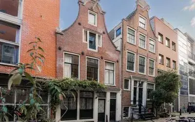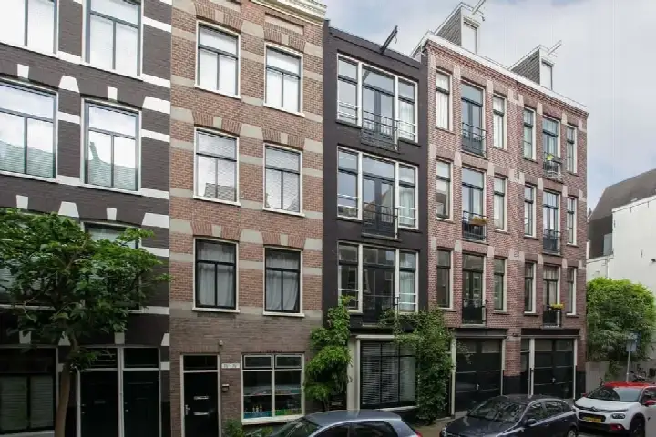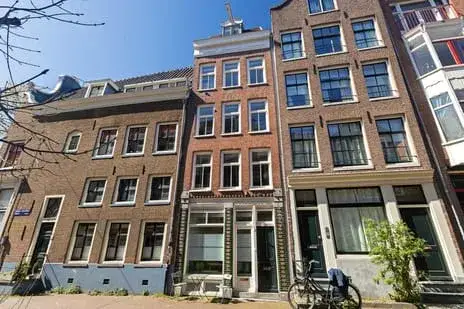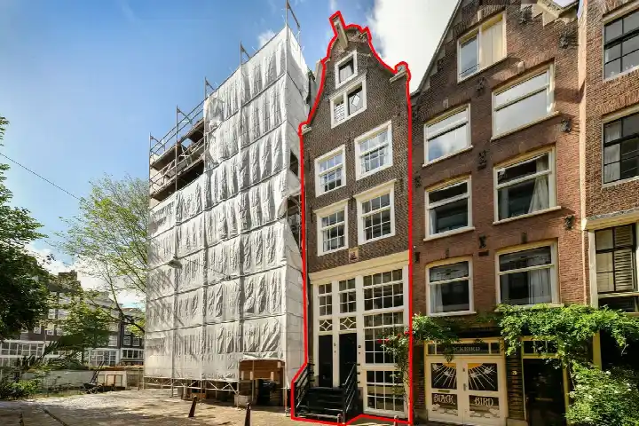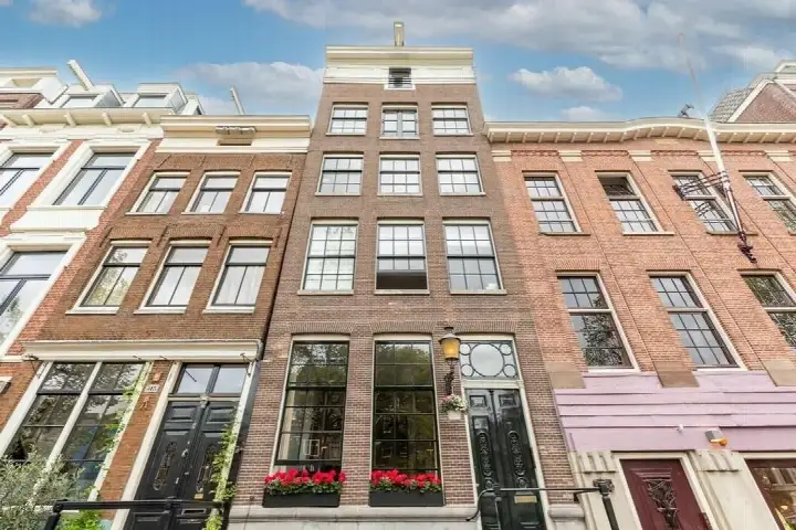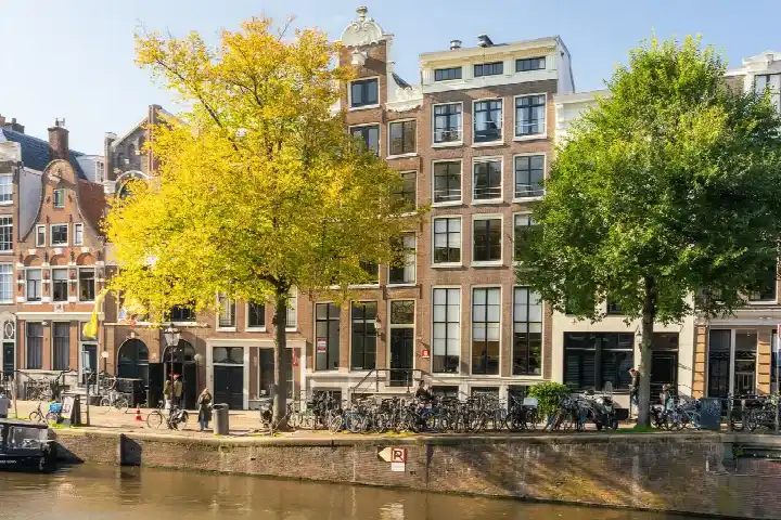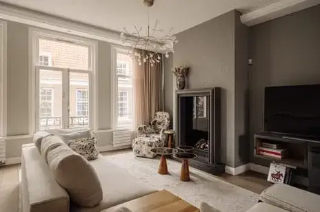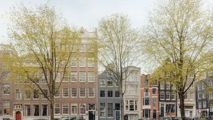





A canal-side classic in the heart of Amsterdam
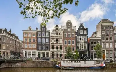
This 1737 terraced house sits on the Singel, one of Amsterdam's most storied canals, in the Spuistraat-Noord neighbourhood. The asking price of €1,350,000 is 63% above the neighbourhood average asking price of €826,800, which puts it on the high side for the area. For context, the average price per m² in the neighbourhood is €10,249, and this home is listed at €9,926 per m² based on the BAG registration. The home is one of the terraced houses in Amsterdam currently on the market.
A historic shell with a modern footprint
The home offers 136 m² of living space according to the BAG registration, which is 55% larger than the neighbourhood average of 88 m². The plot measures 52 m². The energy label is D, which means you can expect moderate energy costs. The home was built in 1737, so it carries the character and quirks of a centuries-old canal house.
Life in Spuistraat-Noord
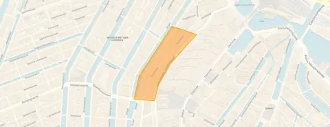
This is a compact, intensely urban pocket of Amsterdam, with 870 residents and an address density of 9,906 per km², making it very strongly urban. The housing stock is dominated by pre-1945 buildings, with 93.8% of homes dating from before that year. Across the municipality of Amsterdam, residents give their living environment an average score of 7.35 out of 10, based on 252 reviews. One resident describes the area as "a very pleasant, quiet neighbourhood with lots of green and wonderful trees that offer cooling and relaxation," while another calls it "quiet, peaceful, relaxed, green, social and a nice mix of people." The neighbourhood itself is home to the Spuistraat-Noord neighbourhood, where 10 homes are currently for sale.
Daily life and getting around
Groceries are never far: an AH to go is on your doorstep, and a full Albert Heijn is just around the corner. The nearest primary school, de Burght, is also just around the corner, while the Vinse School for secondary education is a five-minute walk away. The GP practice A'dam Doctors and the BENU Apotheek Dam are both a five-minute walk from the home. For public transport, the Nieuwezijds Kolk tram stop is just around the corner with lines 2, 4, 14, 17 and 24, and Amsterdam Centraal station is a ten-minute walk. All of this sits within the municipality of Amsterdam.
WOZ and address data
No WOZ value is available for this property. The address-level risk data indicates that road traffic noise is above the standard at 55 dB Lden, while railway and aircraft noise remain below their standards. The foundation risk indication is medium, as the building predates 1970 and the entire postcode area falls within a KCAF attention zone. Pluvial flooding risk is medium, current flood risk is low, and heat stress is currently medium but elevated by 2050. These are area-level indications from public data, not an inspection of this specific home.
Source
At the time of writing, the home is offered only via Ouwehand v/d Meijden Makelaars.
This summary was generated with AI and may contain errors. Always verify the details with the provider.
Features
Details of this home
Transfer
Price

Areas and volume
Construction
The WOZ value is set annually by the municipality with 1 January as its reference date, and therefore lags the market by about a year. It is an estimated market value, not a sale price.
Frequently asked questions
About Singel 55, Amsterdam
How does the asking price compare to other homes in the neighbourhood?
The asking price of €1,350,000 is 63% above the neighbourhood average asking price of €826,800. The average price per m² in the neighbourhood is €10,249, while this home is listed at €9,926 per m² based on the BAG registration. The neighbourhood has 10 homes currently for sale, with prices ranging from €499,000 to €1,425,000.
What is the energy label and what does it mean for costs?
The home has energy label D. This is a mid-range label, so you can expect moderate energy costs. In the neighbourhood, 40% of the homes for sale have label C, 30% have label B, and 10% have label A or higher. Only 10% of the homes for sale have label D or lower, so most of the current supply scores better than this home.
What is the WOZ value of this property?
The WOZ value is not stated in the available data. The WOZ value is the municipal valuation used for tax purposes, and it is not part of the listing information provided for this home.
What are the noise levels around this address?
The address-level risk data shows road traffic noise at 55 dB Lden, which is above the standard. Railway noise is 44 dB Lden and aircraft noise is 47 dB Lden, both below their respective standards. These are area-level indications from public data sources, not measurements taken at the property itself.
What is the foundation risk for this home?
The foundation risk indication for this address is medium. The building was constructed in 1737, before 1970, and 100% of the properties in this postcode area were built before 1970, which places it within a KCAF attention zone. This is an area-level indication based on public data, not an inspection of this specific home.
What are the flood and heat risks for this location?
The climate risk data indicates a medium risk of pluvial flooding during heavy rain, while the current flood risk is low and remains low by 2050. Heat stress is currently medium and is expected to be elevated by 2050. These are area-level indications from the Klimaateffectatlas, not a property-specific assessment.
Which supermarkets are closest to this home?
An AH to go is just 225 metres away, on your doorstep, and another AH to go is 324 metres away. A full Albert Heijn is 414 metres away, and a SPAR is 443 metres away. With 153 supermarkets within 5 km, you have plenty of options for daily groceries.
What public transport options are available nearby?
The Nieuwezijds Kolk tram stop is 166 metres away, just around the corner, serving lines 2, 4, 14, 17 and 24. The Dam stop is 261 metres away with additional night bus lines. Amsterdam Centraal train station is 639 metres away, a ten-minute walk.
What schools are near this property?
The nearest primary school is de Burght, just 166 metres away. The Vinse School for secondary education is 501 metres away. Other options include Theo Thijssenschool Amsterdam at 761 metres and St. Antoniusschool at 782 metres. In total, 219 schools are within 5 km.
What is the neighbourhood like in terms of demographics?
Spuistraat-Noord has 870 residents, with 64% living in single-person households and only 7% of households having children. The largest age group is 25 to 45-year-olds at 52%. The neighbourhood is very strongly urban with an address density of 9,906 per km². The average household size is 1.4 people.
How many homes are currently for sale in the neighbourhood?
There are 10 homes currently for sale in Spuistraat-Noord. The average asking price is €826,800 and the median is €742,500. In the past period, 36 homes were sold with an average price of €870,944. The average time on the market for sold homes was 92 days.
What is the crime situation in the neighbourhood?
The CBS data records 282 total crimes in the neighbourhood. This figure covers all types of reported crime in the area. The neighbourhood has 565 homes in total, with 27% being owner-occupied and only 6% being single-family homes.