Linnaeusparkweg 117-1
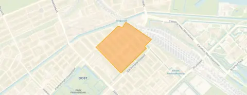
Middenmeer-Noord, Amsterdam
 Area
AreaA pre-war apartment in Middenmeer-Noord
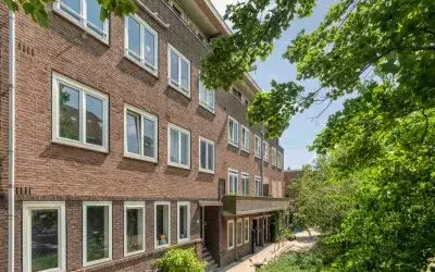
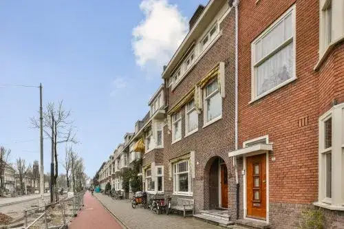
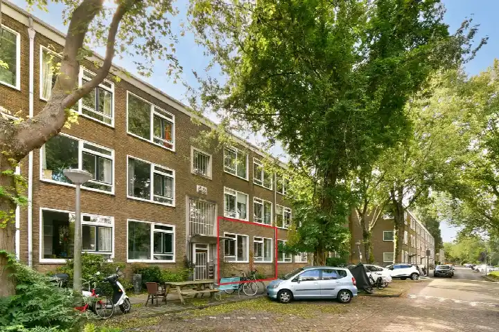
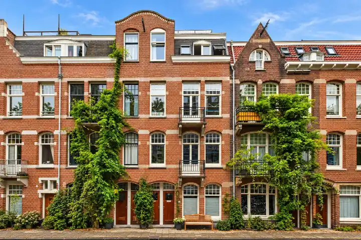
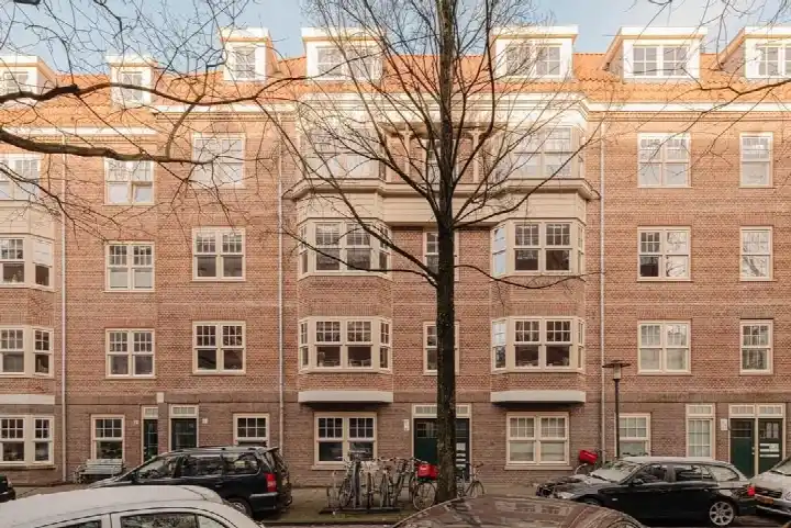
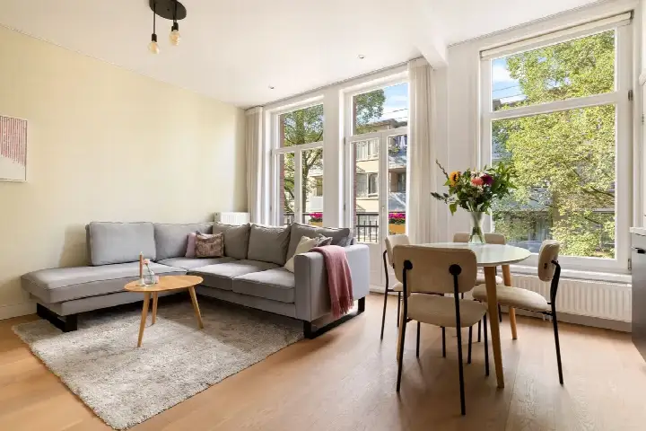
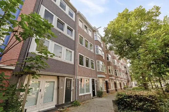
This apartment on Linnaeusparkweg sits in Middenmeer-Noord, a quiet pocket of Amsterdam where the streets are lined with mature trees and the pace feels a little slower than the city centre. The home was built in 1910, so it carries the character of a pre-war Amsterdam apartment. The listing does not state the energy label, so that information is missing from the agent's description. At 57 square metres of living space according to the BAG registration, the asking price of €545,000 is 38% below the neighbourhood average asking price of €877,294, which the data describes as keen. For context, that average is based on the apartments in Amsterdam currently on the market in the area. What is known is that the apartment dates from 1910 and has a living area of 57 square metres according to the BAG registration. The price per square metre works out at €9,561 based on that BAG figure. Without further information from the agent, there is little more to say about the interior or any outdoor space.
Life in Middenmeer-Noord
Middenmeer-Noord is a residential area with about 2,780 residents, and the housing stock here is entirely pre-war, with all homes built before 1945. Residents across the municipality of Amsterdam give their living environment an average score of 7.37, based on 256 reviews. One resident describes a very pleasant, quiet neighbourhood with lots of green and wonderful trees that offer cooling and relaxation, though they also mention that rubbish containers are a daily eyesore. Another resident speaks of a quiet, peaceful, relaxed and green area with a nice mix of people. These reviews reflect the wider municipality rather than this specific neighbourhood, and they are based on a substantial number of responses. The Middenmeer-Noord neighbourhood itself has 17 homes currently for sale, with asking prices ranging from €475,000 to €1,500,000.
Amenities and transport
The daily essentials are close at hand. The Lidwinaschool is on your doorstep for primary education, and the Watergraafsmeerse schoolvereniging is just around the corner. For secondary education, De Amsterdamse MAVO is a couple of streets away. A Vomar supermarket is just around the corner, with an Albert Heijn a five-minute walk and another Albert Heijn a couple of streets further. The pharmacy, Apotheek Watergraafsmeer Christiaan Huygensplein, is a five-minute walk, while the GP practice Huisartsenpraktijk Zeeburgerdijk is a ten-minute walk. For public transport, tram and bus stops at Hugo de Vrieslaan are just around the corner with lines 29 and N87, and the Radioweg bus stop with line 65 is equally close. Amsterdam Muiderpoort train station is a ten-minute walk away. The OLVG hospital location Oost is within walking distance for those who need it. All of this sits within the municipality of Amsterdam.
WOZ and address data
No WOZ value is available for this property, so there is no municipal valuation to compare with the asking price. The address-level risk data from public sources such as Atlas Leefomgeving, KCAF and the Klimaateffectatlas gives some indications for the area. The foundation risk indication is medium, which is an area-level indication based on the fact that the building dates from before 1970 and that 100% of properties in this postcode area were built before that year. Noise from road traffic, rail and aircraft is measured below the relevant standards. For climate, the indication for pluvial flooding at heavy rain is elevated, the current flood risk is elevated and the 2050 flood risk is medium. Heat stress is indicated as medium both now and in 2050. These are area-level indications, not an inspection of this specific home.
Source
At the time of writing the home is offered only via Thoma Post Makelaars.
This summary was generated with AI and may contain errors. Always verify the details with the provider.
Features
Details of this home
Transfer
Price
Energy
 Save up to € 400 on your energy billCompare now
Areas and volume
 Insure your home and belongingsGet insured
Layout
Construction
Outdoor space
The WOZ value is set annually by the municipality with 1 January as its reference date, and therefore lags the market by about a year. It is an estimated market value, not a sale price.
Frequently asked questions
About Linnaeusparkweg 117-1, Amsterdam
What does the asking price of €545,000 mean for this apartment?
The asking price is €545,000 for a living area of 57 square metres according to the BAG registration, which works out at €9,561 per square metre. The data shows this price is 38% below the neighbourhood average asking price of €877,294, which is described as keen. The neighbourhood average is based on 17 homes currently for sale, with asking prices ranging from €475,000 to €1,500,000.
Why are there no property details in this listing?
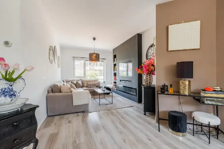
The agent has not published details about the layout, number of rooms, bedrooms or bathrooms, nor any information about outdoor space or installations. The address itself is complete, so the location and neighbourhood information is accurate, but the property-specific details are missing from the agent's description.
What is the energy label of this apartment?
The agent has not published this information, so it is unknown what label applies to this apartment. Without this information, it is not possible to say anything about the expected energy costs of the home.
What is the foundation risk for this property?
The foundation risk indication for this address is medium, based on area-level data from KCAF. The building dates from 1910, and 100% of properties in this postcode area were built before 1970, which is the relevant factor for this indication. This is an area-level indication from public risk data, not an inspection of this specific home.
What are the noise levels like at this address?
The address-level risk data shows noise from road traffic at 46 dB Lden, rail noise at 42 dB Lden and aircraft noise at 43 dB Lden, all measured in recent years. None of these exceed the relevant noise standards. These figures come from public data sources and are indications at area level rather than measurements taken at the property itself.
How does the size of this apartment compare to others in the neighbourhood?
The living area is 57 square metres according to the BAG registration. The neighbourhood average living area for homes currently for sale is 96 square metres, which means this apartment is 41% smaller than that average. The average asking price per square metre in the neighbourhood is €9,219, while this apartment is listed at €9,561 per square metre based on the BAG area.
What schools are near this apartment?
The Lidwinaschool for primary education is on your doorstep at about 100 metres, and the Watergraafsmeerse schoolvereniging is just around the corner at about 134 metres. The 5e Montessorischool Watergraafsmeer is also close by at about 173 metres. For secondary education, De Amsterdamse MAVO is just around the corner at about 129 metres, and the Oecumenische Basisschool Frankendael is a five-minute walk away.
What public transport options are available nearby?
The tram and bus stop Hugo de Vrieslaan is just around the corner at about 237 metres, served by lines 29 and N87. The Radioweg bus stop with line 65 is at about 242 metres, and the Amsterdam Hugo de Vrieslaan bus stop with lines 320, 329 and N22 is at about 247 metres. Amsterdam Muiderpoort train station is about 962 metres away, roughly a ten-minute walk.
What do residents say about living in this area?
Residents across the municipality of Amsterdam give their living environment an average score of 7.37, based on 256 reviews. One resident describes a very pleasant, quiet neighbourhood with lots of green and wonderful trees that offer cooling and relaxation, though they also mention that rubbish containers are a daily eyesore. Another resident speaks of a quiet, peaceful, relaxed and green area with a nice mix of people. These reviews reflect the wider municipality rather than this specific neighbourhood.
What is the flood risk for this address?
The climate risk data for this address indicates an elevated risk of pluvial flooding at heavy rain and an elevated current flood risk. The flood risk for 2050 is indicated as medium. Heat stress is indicated as medium both now and in 2050. These are area-level indications from the Klimaateffectatlas, not an assessment of this specific property.