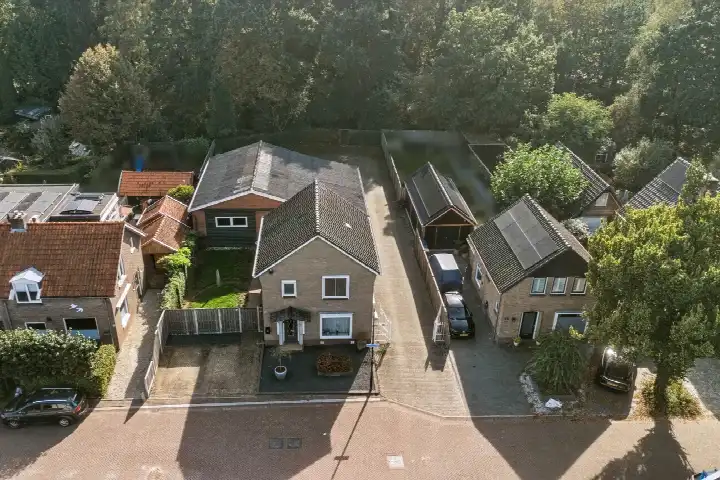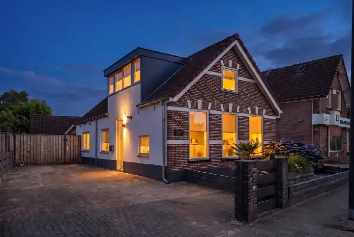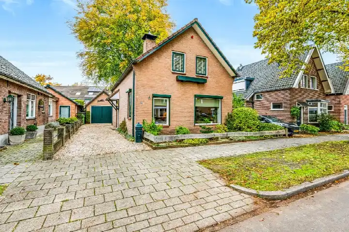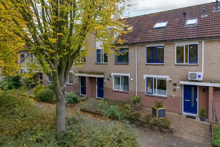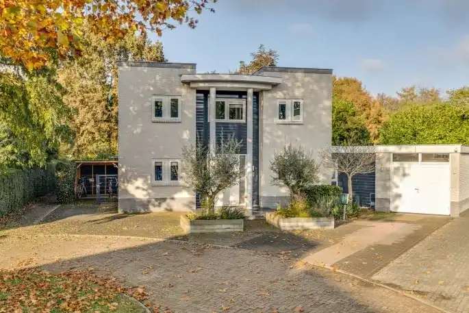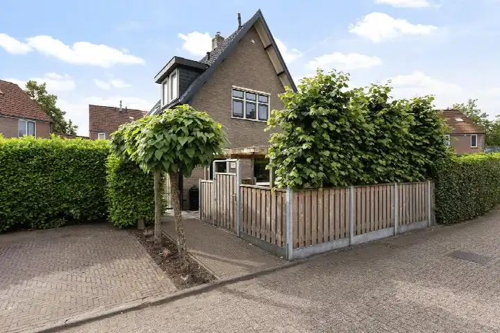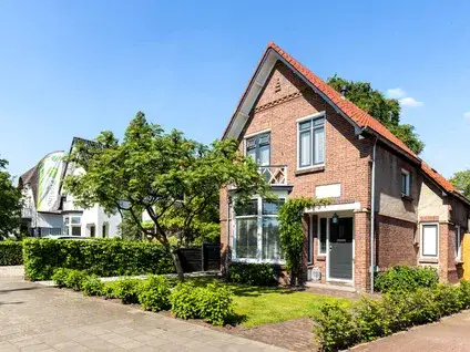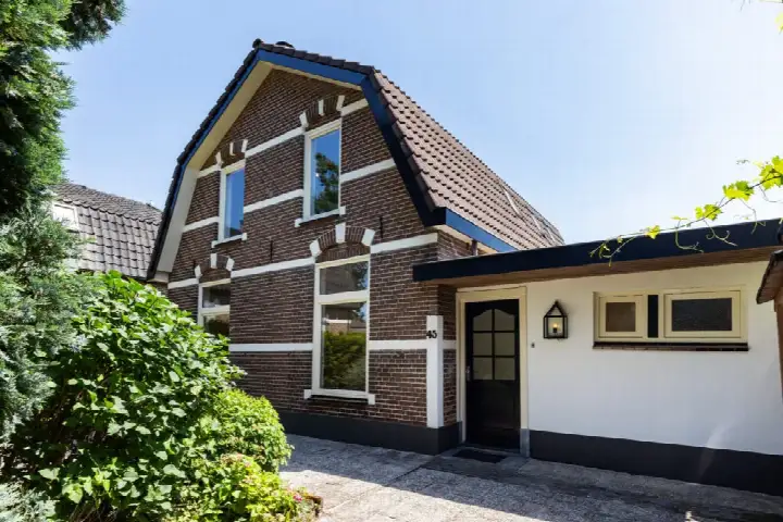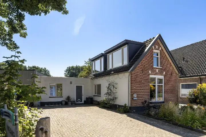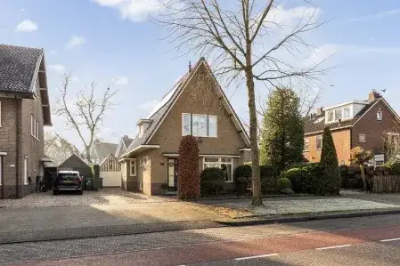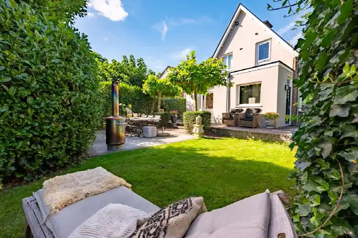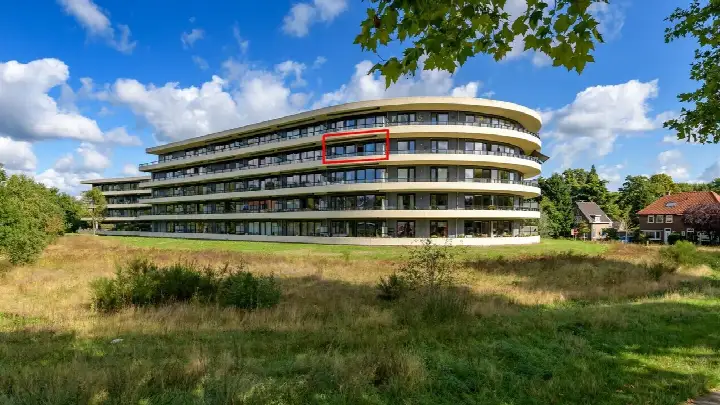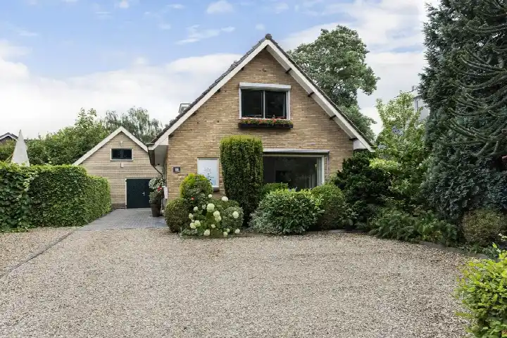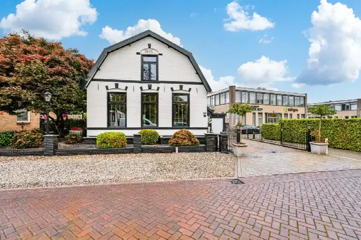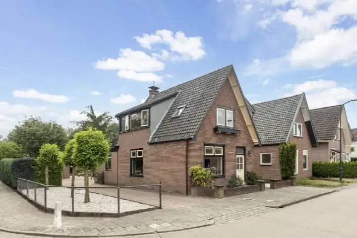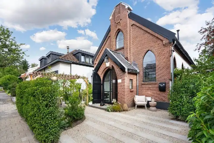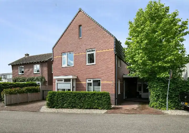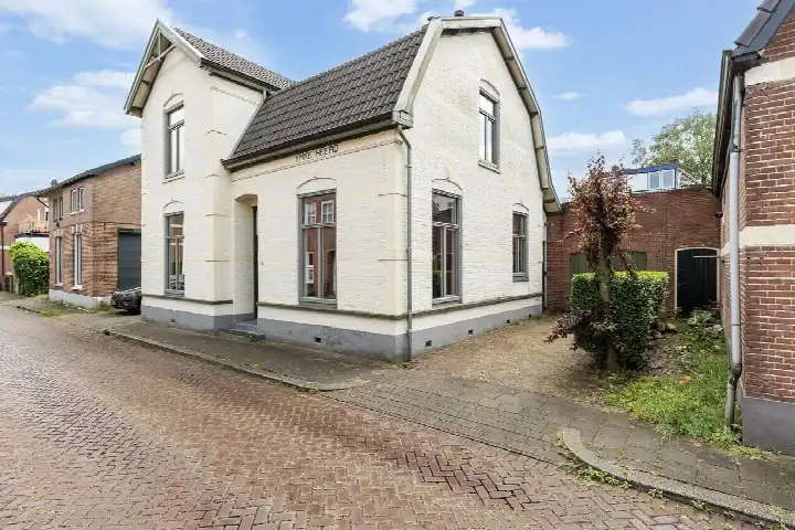





A detached house in Brinkhorst
This detached house on Ritbroekstraat 37 sits in Brinkhorst, a neighbourhood in the west of Apeldoorn. Built in 1990, it has an energy label B. The last known asking price of €695,000 was 55% above the average asking price in the neighbourhood, which came to €448,885. For context, the living area of 148 m² is 41% larger than the neighbourhood average of 105 m². When you look at detached houses in Apeldoorn, this one was priced on the high side. This home has not been online since 15 September 2026.
The home itself
The home has a living area of 148 m² according to the BAG registration, on a plot of 350 m².
Brinkhorst and its residents
Brinkhorst is a lively part of Apeldoorn with around 2,980 residents. The district of West, which includes this neighbourhood, gets an average score of 8.0 from residents based on three reviews. One resident says: "Fine neighbourhood, never had any problems with it." Another, who recently moved in, describes it as a "Top neighbourhood" with schools, a park and Apenheul nearby, adding "Close to everything, absolutely great." A third resident, however, gives a much lower score and complains about litter and anti-social behaviour. The reviews clearly vary, so it is worth reading them all. For more on the Brinkhorst neighbourhood, the figures show 68% of homes are single-family and 63% are owner-occupied.
Amenities and transport
Daily errands are easy from here. The Ekoplaza is just around the corner, with Boni a couple of streets away and an Albert Heijn within a five-minute walk. For healthcare, the GP practice at Gezondheidscentrum Aletta Jacobsstraat is just around the corner, and the Nationale Apotheek is nearby too. The bus stop at Ritbroekstraat, served by lines 1 and 12, is on your doorstep, and Apeldoorn train station is a ten-minute walk. Schools are close as well, with UGO verkennend vmbo just around the corner and Openbare Basisschool Sprengenpark a five-minute walk away. The wider municipality of Apeldoorn offers plenty of options within reach. The address-level risk data from public sources gives an indication for this area. Road traffic noise is measured at 53 dB Lden, which is above the noise standard, while railway noise at 37 dB Lden stays below it. The foundation risk indication is low, with sand as the soil type. For climate, pluvial flooding at heavy rain is medium, while flood risk is low now and in 2050. Heat stress is low at present but medium by 2050. These are area-level indications, not an inspection of this specific home.
Source
When this home was still on the market, it was offered via Tijmen Kroes Makelaardij.
This summary was generated with AI and may contain errors. Always verify the details with the provider.
Features
Details of this home
Transfer
Price

Areas and volume
 Insure your home and belongingsGet insured
Construction
The WOZ value is set annually by the municipality with 1 January as its reference date, and therefore lags the market by about a year. It is an estimated market value, not a sale price.
Frequently asked questions
About Ritbroekstraat 37, Apeldoorn
How did the asking price compare to other homes in Brinkhorst?
The asking price of €695,000 was 55% above the average asking price in the neighbourhood, which was €448,885. The average price per m² in the neighbourhood was €4,316, while this home worked out at €4,696 per m² based on the BAG living area. The neighbourhood had 13 homes for sale, with prices ranging from €319,000 to €599,000.
What is the living area of this home?
According to the BAG registration, the living area is 148 m², on a plot of 350 m². That makes it 41% larger than the neighbourhood average of 105 m².
What is the WOZ value of this property?
The WOZ is the municipal valuation used for taxes, and it is not available here. Without it, there was no comparison to make with the asking price or any historical development to report.
What is the foundation risk for this address?
The foundation risk indication for this address is low, with sand as the soil type. This is an area-level indication from public data, not an inspection of the home itself. The risk data comes from sources like Atlas Leefomgeving and KCAF, and it describes the general situation in the area rather than this specific property.
What are the noise levels around this home?
Road traffic noise at this address is measured at 53 dB Lden, which is above the noise standard. Railway noise is measured at 37 dB Lden, which stays below the standard. These figures come from public data for the address and are area-level indications, not measurements taken at the property itself.
What supermarkets are near this home?
The nearest supermarket is Ekoplaza, about 312 metres away, with Boni at 349 metres and an Albert Heijn at 525 metres. A second Albert Heijn is at 953 metres and a Dekamarkt at 1,102 metres. In total, there are 34 supermarkets within five kilometres of the home.
Which schools are close to this address?
UGO verkennend vmbo, a secondary school, is just 142 metres away. Openbare Basisschool Sprengenpark is at 562 metres, and UDO vakgericht VMBO/Sprengeloo is at 622 metres. PCBO De Korenaar is at 784 metres and PCBO De Wegwijzer at 1,063 metres. There are 78 schools within five kilometres.
How is the public transport from this home?
The bus stop at Ritbroekstraat is 187 metres away, served by lines 1 and 12. The stop at Prinses Beatrixlaan is at 330 metres with the same lines, and Asselsestraat at 460 metres adds lines 21 and 519. Apeldoorn train station is 1,152 metres away, about a ten-minute walk.
What do residents say about living in this area?
Residents of the district of West give an average score of 8.0 based on three reviews. One resident says: "Fine neighbourhood, never had any problems with it." Another describes it as a "Top neighbourhood" with schools, a park and Apenheul nearby. A third review is much more negative, mentioning litter and anti-social behaviour, so opinions clearly differ.
What is the climate risk for this address?
Pluvial flooding at heavy rain is indicated as medium for this address. Flood risk is low both now and in 2050. Heat stress is low at present but medium by 2050. These are area-level indications from the Klimaateffectatlas, not an assessment of this specific home.