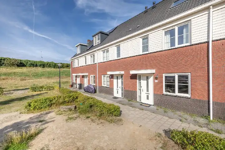
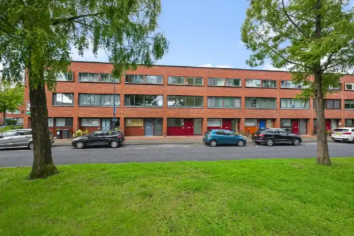
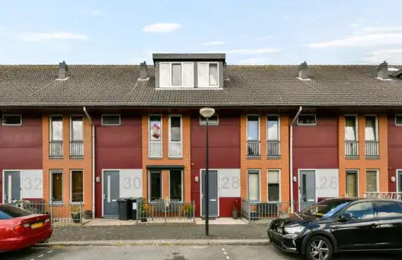
Kantershof 613
Kantershof, Amsterdam
 Area
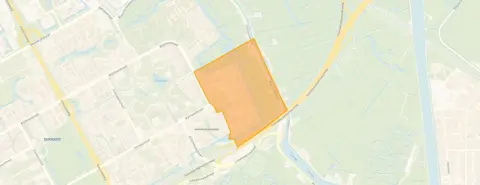
AreaA quiet corner of Amsterdam
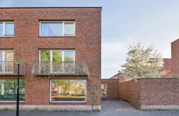
Kantershof 613 is a terraced house from 1973, sitting in the Kantershof neighbourhood in Amsterdam Zuidoost. The home has an energy label A, which is an efficient label, so you can expect relatively modest energy costs. With a living area of 151 square metres according to the BAG registration, this is a substantial family home. The asking price of €600,000 works out at €3,974 per square metre, and the price verdict is that it is in line with the market compared with other [terraced houses in Amsterdam].
The home itself
This listing does not include details about the layout, number of rooms, or outdoor space. What is known is that the house was built in 1973 and carries an energy label A. The plot measures 136 square metres according to the BAG registration. The home is offered for sale at €600,000, which is a significant figure for a terraced house in this part of the city.
Kantershof and its residents
[The Kantershof neighbourhood] is home to around 2,245 people, with a mix of ages and household types. Across the municipality of Amsterdam, residents give an average score of 7.37 out of 10, based on 256 reviews. One resident describes a "very pleasant, quiet neighbourhood with lots of green and wonderful trees that offer cooling and relaxation", while another notes that "IJburg is a new district still under development and it's getting better with all the amenities and a beach nearby". A third resident calls it "quiet, peaceful, relaxed, green, social and a nice mix of people". These reviews cover the whole municipality, so they give a general impression rather than a verdict on this specific street.
Daily life and getting around
For groceries, the Albert Heijn is just around the corner, with an Aldi a couple of streets away. Two primary schools, Basisschool Samenspel 2 and Basisschool Samenspel, are on your doorstep. The nearest GP is at Gezondheidscentrum Klein Gooioord, a ten-minute walk away, and the BENU Apotheek Kraaiennest is just around the corner. Bus stops at Koornhorst are a couple of streets away, served by lines 47, N87, 200, 271 and 300. The nearest train station is Diemen Zuid, about 2.6 kilometres away. All of this sits within [the municipality of Amsterdam].
WOZ and address data
The WOZ value is not stated in this listing, so no comparison with the asking price is possible. The address-level risk data from public sources indicates that road traffic noise is 48 dB, railway noise 37 dB and aircraft noise 48 dB, all below the relevant standards. The foundation risk indication is low, though the soil is peat, which is sensitive to settlement. Pluvial flooding at heavy rain is low, while the flood risk is currently medium and remains medium in 2050. Heat stress is currently low but is expected to be medium by 2050. These are area-level indications from public data, not an inspection of this specific home.
Source
At the time of writing the home is offered only via van der Linden Groep.
This summary was generated with AI and may contain errors. Always verify the details with the provider.
Features
Details of this home
Transfer
Price
Energy
 Save up to € 400 on your energy billCompare now
Areas and volume
 Insure your home and belongingsGet insured
Layout
Construction
Outdoor space
Frequently asked questions
About Kantershof 613, Amsterdam
What is the asking price for this terraced house?
The asking price is €600,000. Based on the BAG living area of 151 square metres, that comes to €3,974 per square metre. The price verdict compares this asking price with the average asking price of similar homes in the neighbourhood and concludes it is in line with the market.
What is the energy label and what does it mean for costs?
The home has an energy label A, which is an efficient label. That means you can expect relatively modest energy costs compared with less efficient labels. The label does not say anything about the condition of the building itself, only about its energy performance.
Why are there no property details in this listing?
The listing does not state the number of rooms, bedrooms, bathrooms, or any details about a garden, balcony or garage. It also does not mention insulation, heating or ownership arrangements. Only the property type, year of construction, energy label and floor areas are given.
What is the WOZ value of this home?
The WOZ value is the municipal valuation used for tax purposes, and it is not available for this property in the data we have. Without it, no comparison between the asking price and the WOZ value can be made.
What are the noise levels around this address?
According to public data at address level, road traffic noise is 48 dB, railway noise is 37 dB and aircraft noise is 48 dB, all measured in Lden. None of these exceed the relevant noise standards. These are area-level indications from public sources, not measurements taken at the property itself.
What is the foundation risk for this home?
The foundation risk indication for this address is low. The soil type is peat, which is noted as sensitive to settlement. This is an area-level indication based on public data, not an inspection of this specific home. It gives a general sense of the ground conditions in the area.
What flood and climate risks apply to this address?
Pluvial flooding at heavy rain is rated low. The flood risk is currently medium and remains medium in 2050. Heat stress is currently low but is expected to become medium by 2050. These are area-level indications from the Klimaateffectatlas, not a property-specific assessment.
Which supermarkets are near this home?
The nearest Albert Heijn is about 579 metres away, with an Aldi at 711 metres. A second Albert Heijn is at 1,206 metres, followed by a SPAR express at 1,770 metres and a Vomar at 2,138 metres. In total there are 35 supermarkets within five kilometres.
What schools are close by?
Basisschool Samenspel 2 is about 186 metres away and Basisschool Samenspel is at 196 metres, both primary schools. Wereldwijs, another primary school, is at 904 metres. For secondary education, the nearest option is about 2.3 kilometres away. There are 75 schools within five kilometres.
How is the public transport in this area?
The nearest bus stop is Koornhorst, about 296 metres away, served by lines 47 and N87. A second stop, Amsterdam Koornhorst, is at 297 metres with lines 200, 271 and 300. The nearest train station is Diemen Zuid, about 2.6 kilometres away.
What do residents say about living in this area?
Across the municipality of Amsterdam, residents give an average score of 7.37 out of 10 based on 256 reviews. One resident mentions a quiet neighbourhood with greenery and trees, while another notes the area is still developing and improving. A third describes it as quiet, peaceful and green with a nice mix of people. These reviews cover the whole municipality, not just this specific neighbourhood.
What is the average household size in Kantershof?
The average household size in the Kantershof neighbourhood is 1.8 people. Of the households, 57 percent are single-person households, 27 percent are households with children and 16 percent are households without children. The neighbourhood has around 2,245 residents in total.