Kempkensweg 29
Lichtenberg, Landgraaf
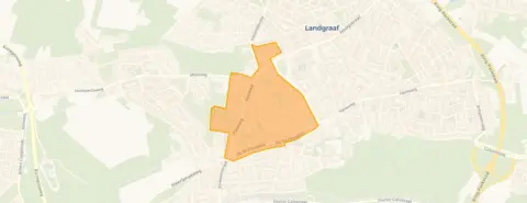 Area
AreaA spacious detached home in Lichtenberg
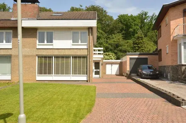
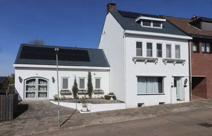
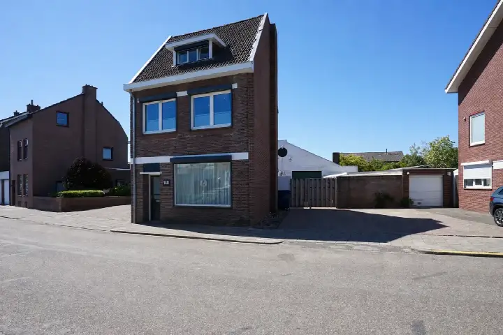
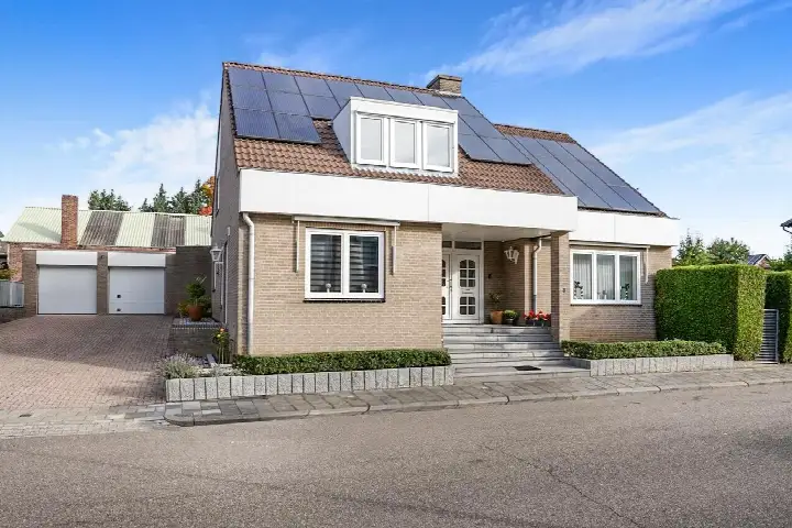
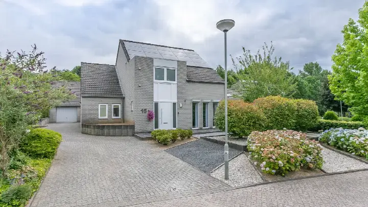
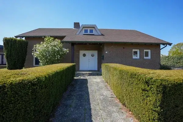
Tucked away on Kempkensweg 29 in Landgraaf, this detached house from 1957 sits in the Lichtenberg neighbourhood, part of the Schaesberg district. With a living area of 253 m² on a plot of 734 m², this is a home with real presence. The asking price of €588,000 is on the high side, which is precomputed against the neighbourhood average asking price of €298,688. That makes it the most expensive of the 16 homes currently for sale in this neighbourhood, and it sits 97% above the average. For context, [detached houses in Landgraaf](</koopwoningen/landgraaf/vrijstaande-woningen/>) give you a sense of what this property type commands in the wider municipality.
The home itself
The listing does not provide details on the layout, number of rooms, bedrooms, or bathrooms, nor does it mention any garden, garage, or insulation features. What is known is that the home was built in 1957 and carries an energy label C. The living area of 253 m² comes from the BAG registration, and the asking price works out to €2,324 per m² based on that figure. The year of construction is a fact of the property's history, and the energy label gives an indication of expected energy costs without saying anything about the structural condition.
Life in Lichtenberg
[The Lichtenberg neighbourhood](</buurt/lichtenberg-landgraaf/>) is home to around 1,690 residents, with a mix of ages and household types. Residents of the district give it an average score of 8.71, based on five reviews. One resident says: "I grew up here so this is where I feel at home." Another notes: "Nice to live here but too few parking spaces and a family with far too many cars that they don't drive and they argue with each other about how to solve the problem." A third resident mentions that dog owners let their dogs poop without cleaning up, and suggests a fine so children can find a safe playground. These are the voices of the wider district, not necessarily this specific street.
Amenities and transport
Daily errands are well covered. The Jumbo and Lidl are just around the corner, with a PLUS a couple of streets away. OBS Wereldwijs primary school is a five-minute walk, and the Beroepscollege Parkstad Limburg is within walking distance too. The GP practice Huisartsenpraktijk Snijders is just around the corner, while the pharmacy is a ten-minute walk. Bus stops at Beethovensingel and Centrum Op de Kamp are a five-minute walk, served by lines 7, 8, and 606. Landgraaf train station is a ten-minute walk, and [the municipality of Landgraaf](</gemeente/landgraaf/>) keeps the surrounding area well connected.
WOZ and address data
The WOZ value is not stated in the available data, so no comparison with the asking price or historical development can be made here. Regarding address-level risk data, the noise from road traffic is measured at 60 dB Lden, which is above the norm, while railway noise at 19 dB and aircraft noise at 38 dB both stay below their norms. The foundation risk indication is medium, based on the home being built before 1970, and the soil type is sand. Climate indications show low risk for pluvial flooding and current flood risk, with heat stress expected to rise to medium by 2050. These are area-level indications from public data, not an inspection of this specific home.
Source
At the time of writing the home is offered via multiple channels, including Ovida makelaars and Ovida makelaars Heerlen on Funda.
This summary was generated with AI and may contain errors. Always verify the details with the provider.
Features
Details of this home
Transfer
Price

Areas and volume
 Insure your home and belongingsGet insured
Construction
Frequently asked questions
About Kempkensweg 29, Landgraaf
How does the asking price compare to other homes in Lichtenberg?
The asking price of €588,000 is 97% above the neighbourhood average asking price of €298,688, making it the most expensive of the 16 homes currently for sale in Lichtenberg. The price per m² is €2,324 based on the BAG living area of 253 m², which is essentially in line with the neighbourhood average of €2,317 per m². The price verdict is precomputed as on the high side.
What is known about the layout of this home?
The listing does not state the number of rooms, bedrooms, or bathrooms, nor does it mention a garden, garage, or any insulation features. What is known is that the home is a detached house built in 1957 with an energy label C. The living area is 253 m² according to the BAG registration, on a plot of 734 m².
Why are there no property details in this listing?
The listing is incomplete when it comes to the property's interior. It does not state the number of rooms, bedrooms, bathrooms, or any outdoor space such as a garden or garage. It also does not mention insulation, heating systems, or ownership details.
What is the energy label and what does it mean for costs?
The home has an energy label C. This label gives an indication of the expected energy costs for the property. A label C is neither the most efficient nor the least efficient label, so energy costs will likely be moderate compared to the full range of labels. The label does not say anything about the structural condition of the home, only about its energy performance classification.
What is the foundation risk for this address?
The foundation risk indication for this address is medium, according to public area-level data. This is based on the home being built before 1970, and the KCAF attention area shows that 100% of properties in this postcode area were built before that year. The soil type is sand. This is an area-level indication from public data sources, not an inspection of this specific home.
What are the noise levels around this home?
According to public data, road traffic noise at this address is measured at 60 dB Lden, which is above the noise norm. Railway noise is measured at 19 dB Lden, which is not above the norm, and aircraft noise is measured at 38 dB Lden, also not above the norm. These are area-level indications from the Atlas Leefomgeving, based on the reference years 2022 and 2023.
What supermarkets and schools are nearby?
The Jumbo and Lidl are both at 535 metres, with a PLUS at 584 metres, so groceries are within easy walking distance. For schools, OBS Wereldwijs primary school is at 309 metres, and the Beroepscollege Parkstad Limburg secondary school is at 588 metres. There are also several other schools within a short distance, including SBO de Wissel and Basisschool Op gen Hei.
How is the public transport connection from this home?
The nearest bus stops are Landgraaf, Beethovensingel at 468 metres, and Landgraaf, Centrum Op de Kamp at 561 metres, served by lines 7, 8, and 606. The nearest train station is Landgraaf at 954 metres, which is about a ten-minute walk. This gives you both bus and train options for getting around the region.
What do residents say about living in this district?
Residents of the district give it an average score of 8.71, based on five reviews. One resident says: "I grew up here so this is where I feel at home." Another mentions it is "nice to live here but too few parking spaces." A third resident notes that dog owners do not clean up after their pets and suggests a fine so children can play safely. These reviews describe the wider district, not specifically this street.
What is the climate risk for this address?
The climate indications for this address show a low risk for pluvial flooding during heavy rain, and the current flood risk is also low. Looking ahead to 2050, the flood risk remains low, but heat stress is expected to increase from low to medium. These are area-level indications from the Klimaateffectatlas, not an assessment of this specific property.