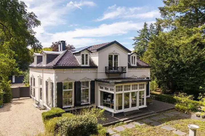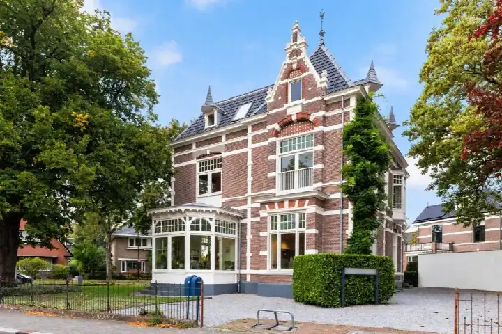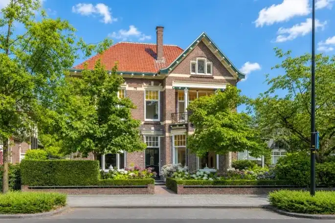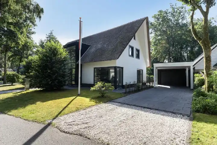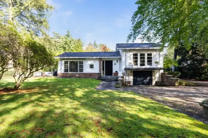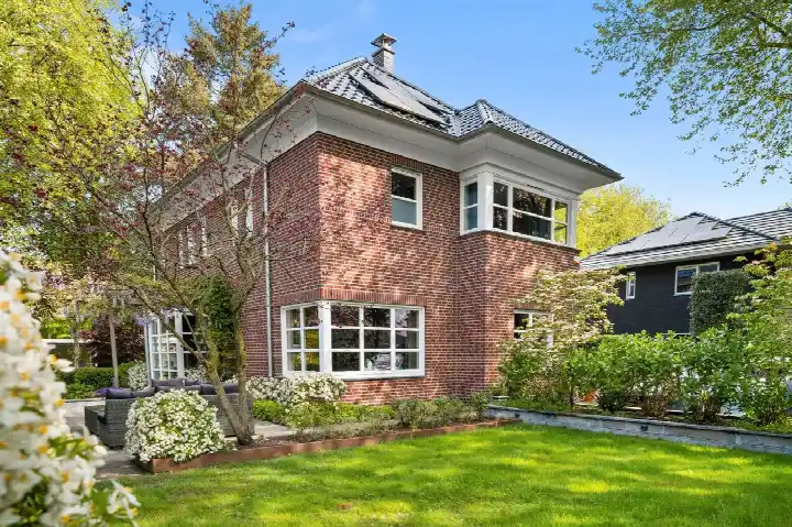
A grand home in De Parken
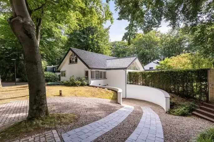
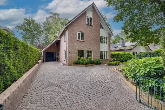
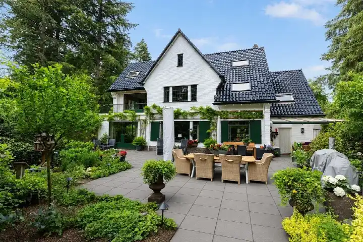
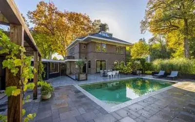
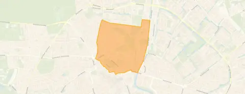
This detached house on Mr. Van Hasseltlaan 7 sits in De Parken, a neighbourhood in the north of Apeldoorn. The home dates from 1899 and has a living area of 445 m² on a plot of 600 m², according to the BAG registration. The asking price is €1,678,910. For context, the average asking price per m² in the neighbourhood is €4,673, while this home comes in at €3,773 per m². If you are looking at detached houses in Apeldoorn, this is one of the larger options.
The home itself
This listing does not state the energy label. As a result, you cannot tell from the listing how energy-efficient the home is. The house was built in 1899, which is a fact about its age, not a comment on its condition. The living area of 445 m² is 85% larger than the neighbourhood average of 240 m², so there is plenty of space. The plot of 600 m² gives you room around the house, though the listing does not specify how the garden is laid out.
Life in De Parken
Residents of the district give their living environment an average score of 8.53, based on six reviews. One resident says: "A very pleasant and agreeable living environment. Via neighbourhood apps, residents keep in touch with each other and are warned about matters. On 5 May, we had a joint breakfast as a street. In September, we celebrate Neighbour's Day together." Another resident notes: "Super cosy and beautiful neighbourhood but the location so close to the city centre causes a lot of nuisance that is not addressed by enforcement and/or police." The neighbourhood has 2,875 inhabitants, with 85% of the homes built before 1945. For more on the area, see the De Parken neighbourhood.
Amenities and transport
For daily errands, Aldi is on your doorstep, and Albert Heijn is just around the corner. The nearest primary school, Rooms Katholieke Basisschool Anne Frank, is a couple of streets away, and the secondary school Koninklijke Scholen Gemeenschap is just 101 metres away. The GP practice Huisartsenpraktijk de Parken and the pharmacy Service Apotheek Beekpark BV are both. Bus stop Apeldoorn, Wilhelminapark is 137 metres away with line 13, and Apeldoorn, Oranjepark/Regentesselaan offers lines 13, 102, 112, 304 and 512. The train station Apeldoorn is 1.4 km away. For a broader view, the municipality of Apeldoorn has more on the surroundings. At the address level, the noise from road traffic is 50 dB Lden, which is above the norm, while railway noise is 29 dB Lden, below the norm. The foundation risk indication is low, based on the soil type of sand and the pre-1970 construction year, but this is an area-level indication, not an inspection of this specific home. For climate, pluvial flooding at heavy rain is elevated, while flood risk is low now and in 2050, and heat stress is low now but medium by 2050. These are area-level indications from public data, not a verdict on this property.
Source
At the time of writing, the home is offered only via Reinders Makelaardij.
This summary was generated with AI and may contain errors. Always verify the details with the provider.
Features
Details of this home
Transfer
Price
Energy
 Save up to € 400 on your energy billCompare now
Areas and volume
Layout
Construction
Outdoor space
Frequently asked questions
About Mr. Van Hasseltlaan 7, Apeldoorn
What is the asking price for this home?
The asking price is €1,678,910. The price per m² is €3,773, based on the BAG living area of 445 m², which is lower than the neighbourhood average of €4,673 per m². The listing does not provide a comparison with the neighbourhood average asking price, so no judgement is given here. The price reflects the large living area and the plot size.
What is the living area and plot size?
According to the BAG registration, the living area is 445 m² and the plot is 600 m². This makes the home 85% larger than the neighbourhood average living area of 240 m². The listing does not specify the number of rooms or bedrooms, so the layout is not detailed. The home was built in 1899, which is a fact about its age.
Why is there no energy label in the listing?
This means you cannot tell from the listing how energy-efficient the home is. The home was built in 1899, but the listing does not provide any information about insulation or heating systems. If you want to know the energy label, you would need to look elsewhere, as it is not published here.
What is the WOZ value of this home?
The WOZ value is the municipal valuation, which is separate from the asking price. Without it, there is no official comparison between the asking price and the municipal valuation. The listing does not provide this information, so it is not possible to say how the asking price relates to the WOZ value.
What are the noise levels around this address?
At the address level, road traffic noise is 50 dB Lden, which is above the norm. Railway noise is 29 dB Lden, which is below the norm. These are area-level indications from public data, not measurements taken at the property itself. The noise levels are part of the address risk data, which also includes foundation and climate indications.
What is the foundation risk for this home?
The foundation risk indication is low, based on the soil type of sand and the fact that the home was built before 1970, specifically in 1899. This is an area-level indication, not an inspection of this specific home. The risk data comes from public sources like the Atlas Leefomgeving and KCAF, and it does not replace a structural survey.
What are the flood and heat stress risks?
Pluvial flooding at heavy rain is elevated, while flood risk from rivers or the sea is low now and in 2050. Heat stress is low now but medium by 2050. These are area-level indications from the Klimaateffectatlas, not a prediction for this specific property. The data gives a general picture of the climate risks in the area.
What supermarkets are nearby?
The nearest supermarket is Aldi at 525 metres, followed by Albert Heijn at 670 metres. Dekamarkt is at 890 metres, PLUS at 893 metres, and SPAR at 1,035 metres. Within 5 km, there are 33 supermarkets in total. These distances mean you can walk to the closest ones in a few minutes.
What schools are close to this home?
The nearest school is Koninklijke Scholen Gemeenschap, a secondary school with 1,158 pupils, at 101 metres. The primary school Rooms Katholieke Basisschool Anne Frank is at 211 metres, and Gymnasium Apeldoorn, a secondary school, is at 334 metres. OBS De Parkenschool is at 352 metres, and PCBO Koningin Wilhelmina at 388 metres.
What public transport options are available?
The nearest bus stop is Apeldoorn, Wilhelminapark at 137 metres, served by line 13. Apeldoorn, Oranjepark/Regentesselaan at 175 metres offers lines 13, 102, 112, 304 and 512. The train station Apeldoorn is 1.4 km away. These stops give you access to local and regional bus services, though the listing does not specify destinations.
What is the neighbourhood like according to residents?
Residents of the district give their living environment an average score of 8.53, based on six reviews. One resident mentions a pleasant and agreeable environment with neighbourhood contact, while another notes nuisance from the city centre location. The reviews reflect the district as a whole, not just this specific street. The neighbourhood has 2,875 inhabitants.