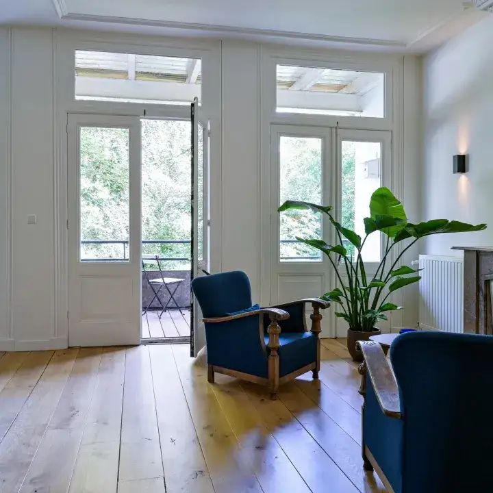
Prins Hendrikkade 108A04
Noordereiland, Rotterdam
 Area
AreaA classic apartment on the island
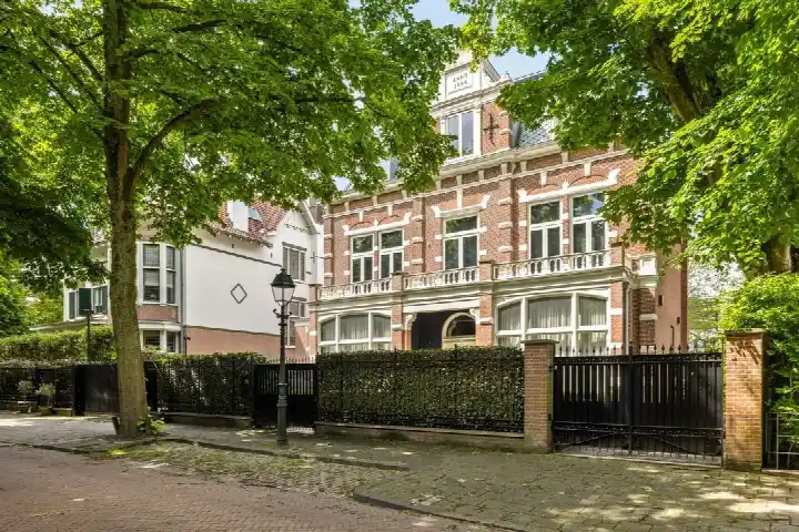
This apartment sits on the Noordereiland, an island in the Maas right in the middle of Rotterdam. It is a 1908 building with an energy label A, which is an efficient label. The asking price of €487,500 is in line with the market, compared with the neighbourhood average asking price. For context, the average asking price in the area is €506,321. If you are looking at apartments in Rotterdam, this one stands out for its age combined with a modern energy label.
The home itself
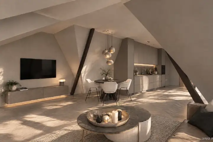
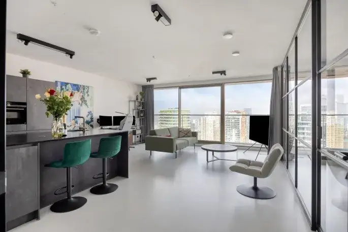
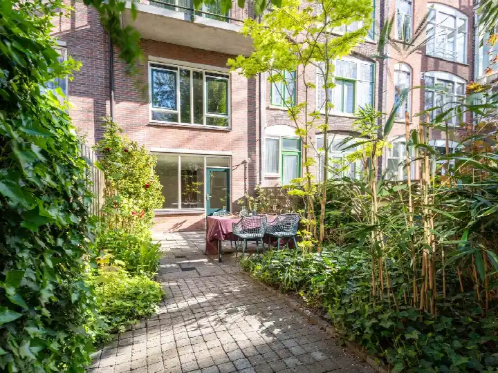
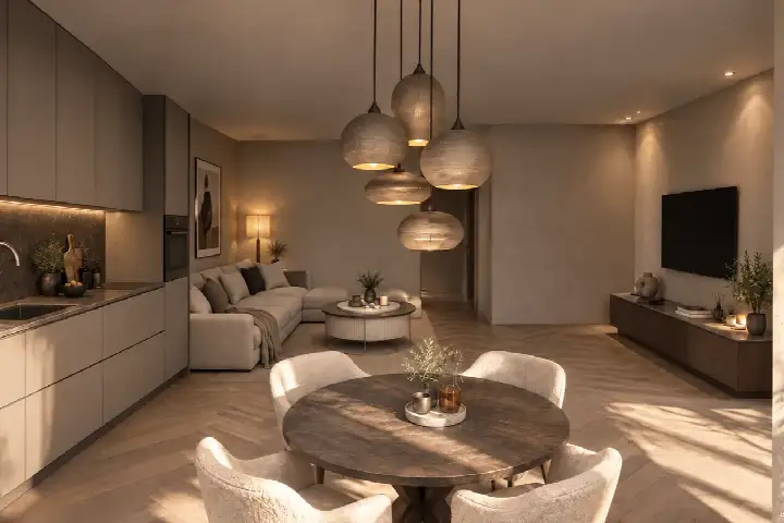
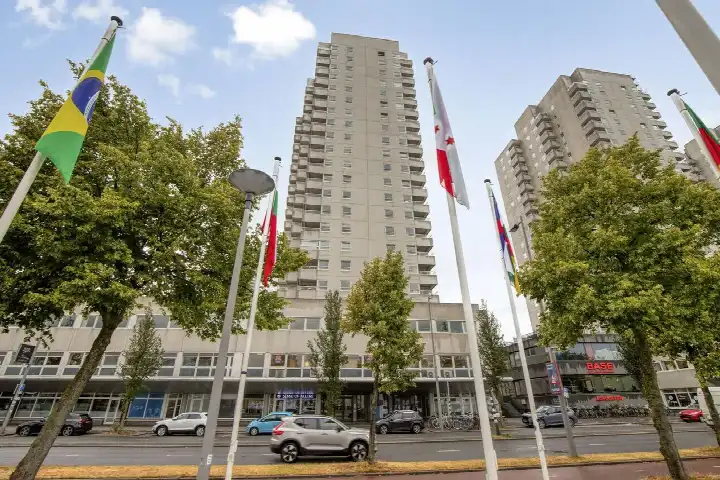
According to the agent, this apartment has 2 rooms, 1 bedroom and 1 bathroom, spread over the first floor of a five-storey building. The living area is listed as 65 m² by the agent, while the BAG registration records 68 m². The volume is 195 m³. The home is offered via Van Kleef NVM Makelaars.
Life on the Noordereiland
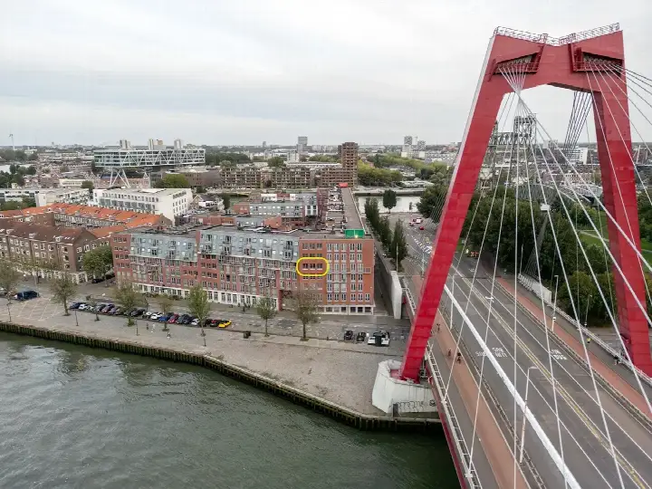
The Noordereiland is a distinct spot in Rotterdam, surrounded by water on all sides. Residents of the district of Feijenoord, which includes this neighbourhood, give their living environment an average score of 6.72, based on 31 reviews. One resident says: "Reasonably nice neighbourhood, shame that household waste stays on the street too long." Another calls it "Quiet." The district has about 3,560 inhabitants, with a mix of ages and household types. For more on the area, have a look at the Noordereiland neighbourhood.
Amenities and transport
Daily errands are easy from here. A SPAR supermarket is just around the corner, with a Jumbo a couple of streets away and an Aldi within a five-minute walk. For primary education, De Pijler is a ten-minute walk. The nearest GP is Huisartsenpraktijk Wijnhaven, and the BENU Apotheek Rosestraat is just around the corner. Bus line 547 stops at Cornelis Trompstraat on your doorstep, and Rotterdam Blaak station is a ten-minute walk. All within the municipality of Rotterdam.
WOZ and address data
The WOZ value is not stated in the available data. According to public risk data at address level, the road traffic noise is 56 dB Lden, which is above the noise standard, while rail and air traffic noise stay below their standards. The foundation risk indication is medium, based on the 1908 construction on clay soil, and this is an area-level indication rather than an inspection of this specific home. Pluvial flooding at heavy rain is indicated as elevated, and the current flood risk is medium, as is heat stress. These are all area-level indications.
Source
At the time of writing, the home is offered only via Van Kleef NVM Makelaars.
This summary was generated with AI and may contain errors. Always verify the details with the provider.
Features
Details of this home
Transfer
Price
Energy
 Save up to € 400 on your energy billCompare now
Areas and volume
 Insure your home and belongingsGet insured
Layout
Construction
Frequently asked questions
About Prins Hendrikkade 108A04, Rotterdam
What does the asking price of €487,500 mean for this apartment?
The asking price is in line with the market, according to a comparison with the neighbourhood average asking price of €506,321. The price per square metre is €7,500, based on the agent's listed living area of 65 m². The average price per square metre in the neighbourhood is €5,390, but that average includes larger homes, so a direct comparison is not straightforward.
How many rooms does this apartment have?
According to the agent, the apartment has 2 rooms, 1 bedroom and 1 bathroom. It is located on the first floor of a five-storey building. The living area is listed as 65 m² by the agent, while the BAG registration records 68 m². The volume of the home is 195 m³.
What is the energy label of this home?
The energy label is A, which is an efficient label. The home was built in 1908. The energy label says nothing about the condition of the building itself, but a label A does indicate relatively low expected energy costs compared with less efficient labels.
What do residents say about living in this area?
Residents of the district of Feijenoord, which includes the Noordereiland, give their living environment an average score of 6.72, based on 31 reviews. One resident says: "Reasonably nice neighbourhood, shame that household waste stays on the street too long." Another calls it "Quiet." These reviews describe the district as a whole, not specifically this neighbourhood.
What are the noise levels around this address?
Public risk data at address level shows road traffic noise of 56 dB Lden, which is above the noise standard. Rail traffic noise is 30 dB Lden and air traffic noise is 25 dB Lden, both below their respective standards. These are area-level indications based on public data, not measurements taken at this specific home.
What is the foundation risk for this property?
The foundation risk indication is medium. The home was built in 1908 on clay soil, and in this area 4% of buildings have an elevated risk of pile rot, according to the Klimaateffectatlas. This is an area-level indication based on public data, not an inspection of this specific home.
What supermarkets are nearby?
A SPAR supermarket is just around the corner at 277 metres. A Jumbo is at 416 metres, and an Aldi at 588 metres. There are also two more supermarkets within a short walk: another SPAR at 710 metres and an Albert Heijn at 766 metres. In total, there are 98 supermarkets within 5 kilometres.
How far is the nearest train station?
Rotterdam Blaak station is at 979 metres, which is about a ten-minute walk. There are also bus stops nearby: Cornelis Trompstraat at 169 metres and Sleephellingstraat at 189 metres, both served by bus line 547. The Koninginneburg stop at 237 metres is served by lines 32 and 547.
What schools are close to this apartment?
The nearest primary school is De Pijler at 693 metres, with 570 pupils. De Nieuwe Haven is at 943 metres, and Agnes at 975 metres. There are 216 schools within 5 kilometres, so there is a wide choice for families looking at education options in the area.
What is the flood risk for this area?
The current flood risk is indicated as medium, and this is expected to remain medium by 2050. Pluvial flooding at heavy rain is indicated as elevated. Heat stress is currently medium and is expected to become elevated by 2050. These are area-level indications from public data, not assessments of this specific home.