Van Egmondkade 96
Julianapark en omgeving, Utrecht
 Area
AreaA grand apartment in Julianapark en omgeving
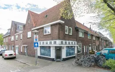
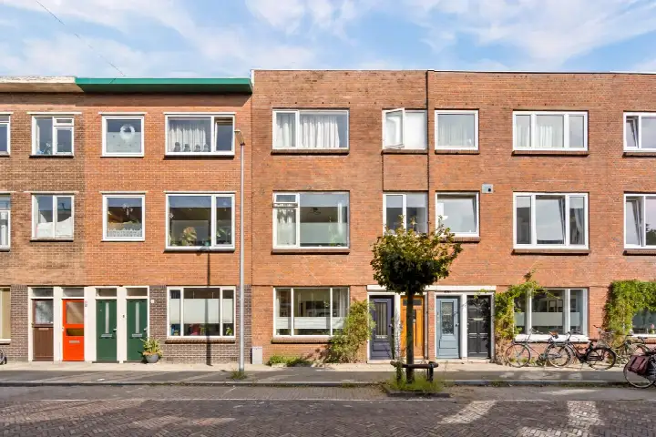
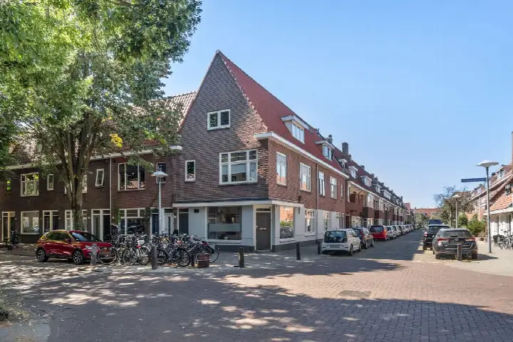
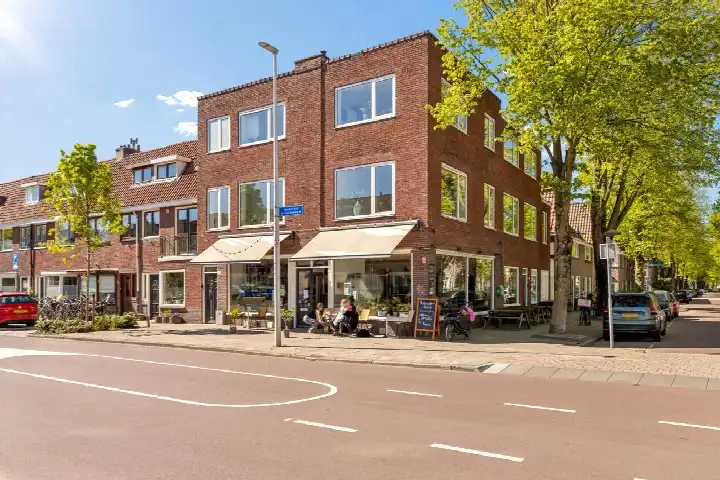
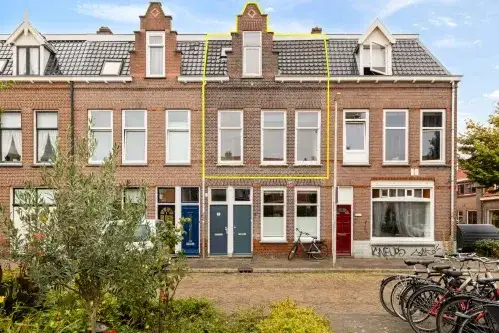
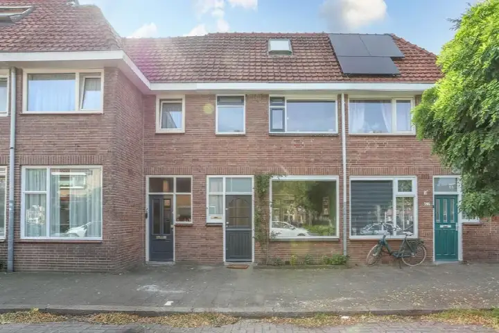
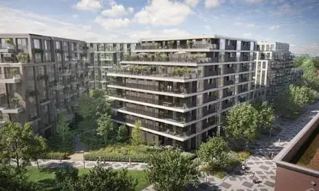
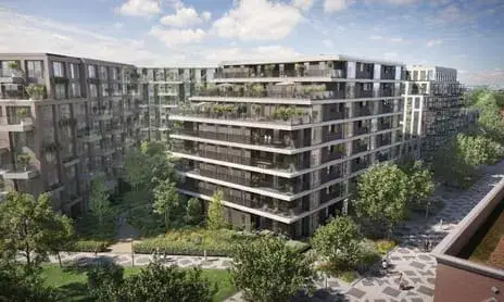
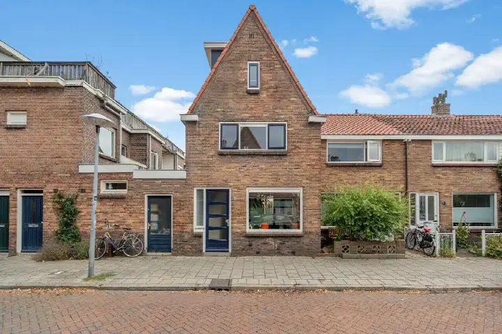
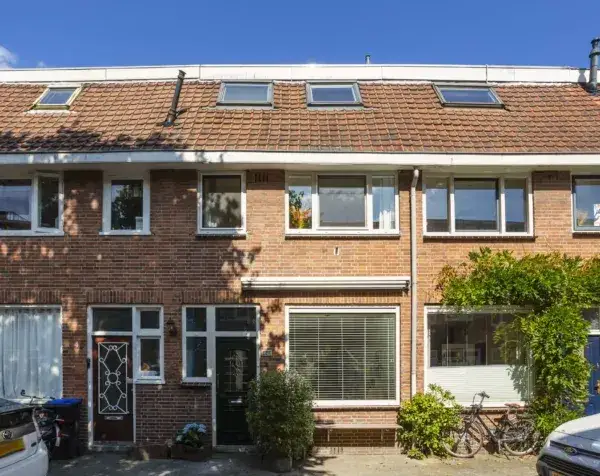
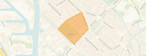
This apartment on Van Egmondkade 96 sits in Julianapark en omgeving, a neighbourhood in the Noordwest district of Utrecht. With the Julianapark itself just around the corner, residents describe the area as a lovely place to relax. The home dates from 1920 and carries energy label G, the least efficient label, so expect high energy costs. At €569,000, the asking price is on the high side compared with the neighbourhood average. This is one of the apartments in Utrecht currently on the market.
Inside the home
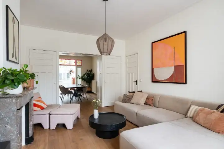
According to the agent, this apartment spans four floors and includes six rooms, four bedrooms and two bathrooms. The living area is listed as 90 m² by the agent, while the BAG registration records 120 m². The home has partial double glazing and a central heating boiler. The total volume is 508 m³.
Life in the neighbourhood
Residents of the district give it an average score of 7.32, based on fifteen reviews. One resident, who has lived in Zuilen for 26 years, calls it one of the best neighbourhoods in Utrecht, with shops, schools, buses and the train station all nearby. Another notes the area is getting greener and more beautiful, with friendly neighbours and good social control. The neighbourhood counts 2,895 inhabitants, and half of them are between 25 and 45 years old. For more on the area, see the Julianapark en omgeving neighbourhood.
Amenities and transport
Daily errands are well covered here. The pharmacy is on your doorstep, and the Albert Heijn and Boni supermarkets are just around the corner. The Prinses Margrietschool is a couple of streets away, and the GP practice is a ten-minute walk. Bus stop Utrecht, Burg. Van Tuyllkade with lines 7, 27 and Flex is just around the corner, and Utrecht Zuilen station is a ten-minute walk. For a wider range of options, the municipality of Utrecht has plenty to offer.
WOZ and address data
No WOZ value is available for this property. The address does carry risk indications at area level, not as an inspection of this specific home. Road traffic noise is measured at 66 dB Lden, above the noise standard, while railway and aircraft noise stay below their standards. The foundation risk indication is medium, with 5% of properties in this postcode area showing an elevated pile-rot risk. Pluvial flooding at heavy rain is medium, and the current flood risk is elevated, though by 2050 that drops to low. Heat stress is medium now and in 2050.
Source
At the time of writing the home is offered via multiple channels, including Walton Makelaars.
This summary was generated with AI and may contain errors. Always verify the details with the provider.
Features
Details of this home
Transfer
Price
Energy
 Save up to € 400 on your energy billCompare now
Areas and volume
 Insure your home and belongingsGet insured
Layout
Construction
The WOZ value is set annually by the municipality with 1 January as its reference date, and therefore lags the market by about a year. It is an estimated market value, not a sale price.
Frequently asked questions
About Van Egmondkade 96, Utrecht
How does the asking price compare with other homes in the neighbourhood?
The asking price of €569,000 is on the high side. It sits 32% above the neighbourhood average asking price of €432,636. Per square metre, based on the agent's listed living area of 90 m², the price is €6,322, which is 18% above the neighbourhood average of €5,373 per m². The neighbourhood currently has 11 homes for sale, with asking prices ranging from €165,000 to €895,000.
What is the layout of this apartment?
According to the agent, the apartment spans four floors and includes six rooms, four bedrooms and two bathrooms. The living area is listed as 90 m² by the agent, while the BAG registration records 120 m². The total volume is 508 m³. The home has partial double glazing and a central heating boiler.
What does energy label G mean for this home?
Energy label G is the least efficient label on the scale, so you can expect high energy costs for heating and hot water. The home dates from 1920 and has partial double glazing according to the agent. In the neighbourhood, 25% of the homes for sale carry a label of D or lower, while 16.7% have label A and another 16.7% have label A+ or better.
What is the foundation risk for this address?
The foundation risk indication for this address is medium, based on area-level data from the KCAF and Klimaateffectatlas. The home was built in 1920, before 1970, and 100% of properties in this postcode area date from before 1970. In this area, 5% of properties show an elevated pile-rot risk. This is an area-level indication, not an inspection of this specific home.
What are the noise levels around this address?
Road traffic noise at this address is measured at 66 dB Lden, which is above the noise standard. Railway noise is 45 dB Lden, below the standard, and aircraft noise is 41 dB Lden, also below the standard. These figures come from public data at address level and are indications for the area, not measurements taken at this specific home.
Which supermarkets are closest to this apartment?
The nearest supermarkets are an Albert Heijn at 512 metres and a Boni at 527 metres, both within a short walk. A second Albert Heijn is at 653 metres, and a PLUS is at 1,027 metres. In total, there are 66 supermarkets within five kilometres of this address.
What schools are near this home?
The Prinses Margrietschool, a primary school with 158 pupils, is 146 metres away. The Christelijke Basisschool De Piramide is at 234 metres with 187 pupils, and KBS Ludger is at 255 metres with 328 pupils. For secondary education, the nearest school is 2.1 kilometres away.
How do residents rate this area?
Residents of the district give it an average score of 7.32, based on fifteen reviews. One resident who has lived in Zuilen for 26 years calls it one of the best neighbourhoods in Utrecht, with everything within reach. Another resident notes the neighbourhood is getting greener, with friendly neighbours and good social control, though the municipality could pay more attention to litter.
What public transport options are available nearby?
The nearest bus stop is Utrecht, Burg. Van Tuyllkade at 103 metres, served by lines 7, 27 and Flex. Utrecht, Sweder van Zuylenweg with line 3 is at 362 metres, and Utrecht, Pionstraat with Flex is at 386 metres. Utrecht Zuilen train station is 769 metres away.
What is the flood risk for this address?
The current flood risk for this address is elevated, but by 2050 it drops to low. Pluvial flooding at heavy rain is medium. Heat stress is medium both now and in 2050. These are area-level indications from the Klimaateffectatlas, not an assessment of this specific property.